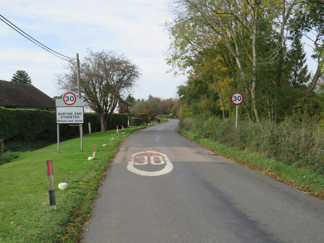
Burton End

Settlement in Essex Uttlesford

England

Burton End

Station Road, Stansted Mounfitchet Station Road in the village of Stansted Mountfitchet in north Essex.
Station Road, Stansted Mounfitchet Credit: Malc McDonald

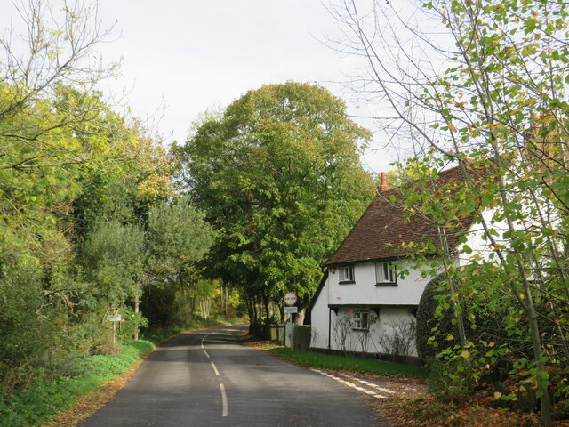
Burton End is a small village located in the county of Essex, England. Situated approximately 3 miles south of the market town of Saffron Walden, it falls within the Uttlesford district. The village is surrounded by picturesque countryside and offers a peaceful and rural setting.

The history of Burton End can be traced back to medieval times, and its name is derived from the Old English words "burh" and "tun," meaning "fort" and "settlement" respectively. This suggests that the village may have once been a fortified settlement.

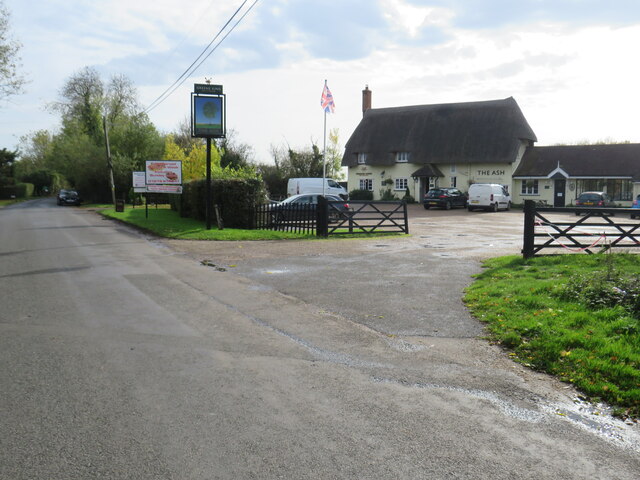
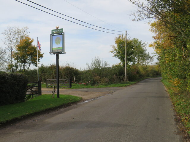
Today, Burton End is primarily a residential area with a small population. The village features a mix of traditional and modern houses, along with a handful of local amenities. These include a village hall, a local pub, and a primary school, providing essential services for the community.

Despite its small size, Burton End benefits from its proximity to the nearby town of Saffron Walden, which offers a wider range of amenities such as shops, restaurants, and leisure facilities. The village also enjoys convenient transportation links, with the M11 motorway and Audley End railway station located within close proximity, providing easy access to London and other major cities.

Overall, Burton End offers a tranquil and idyllic setting for residents seeking a rural lifestyle, while still being within reach of larger towns and cities.

If you have any feedback on the listing, please let us know in the comments section below.
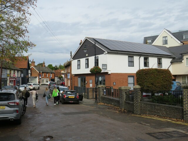
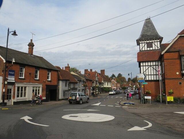
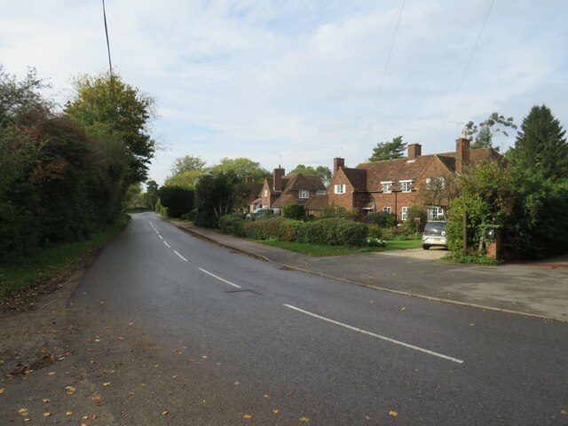
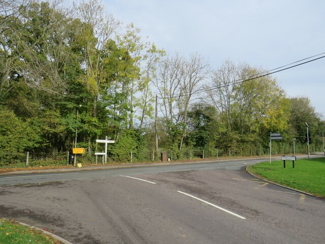
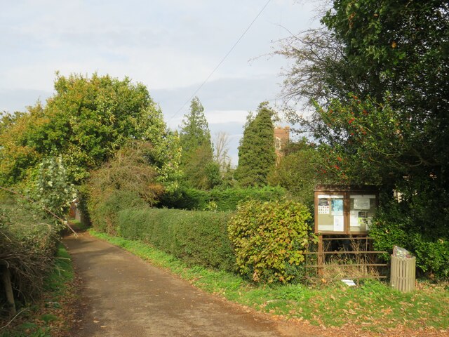
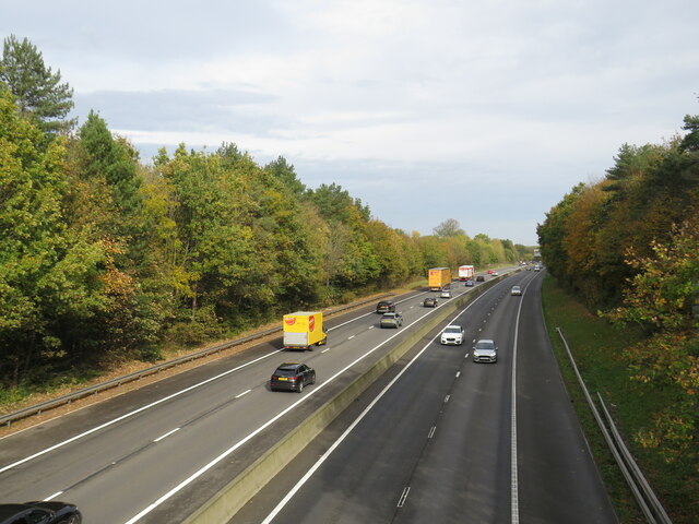
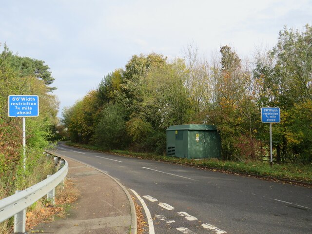
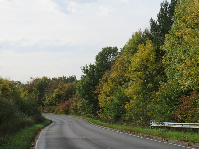
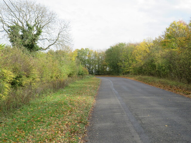
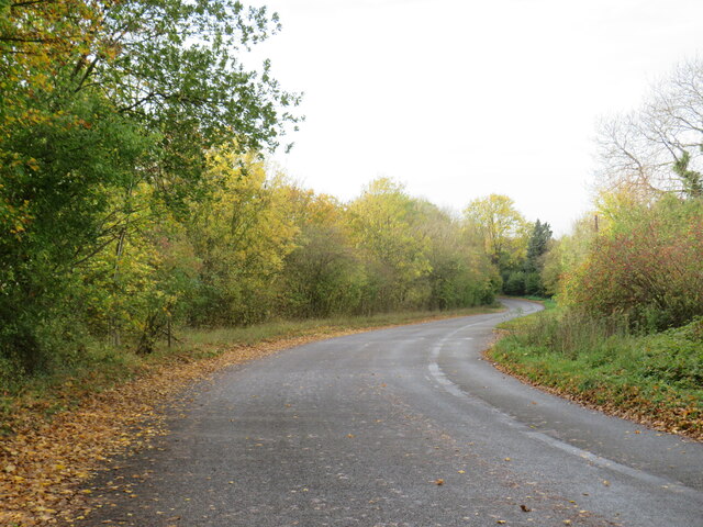
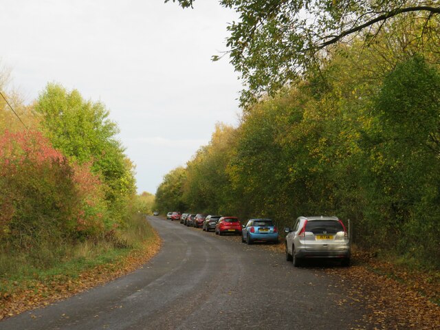
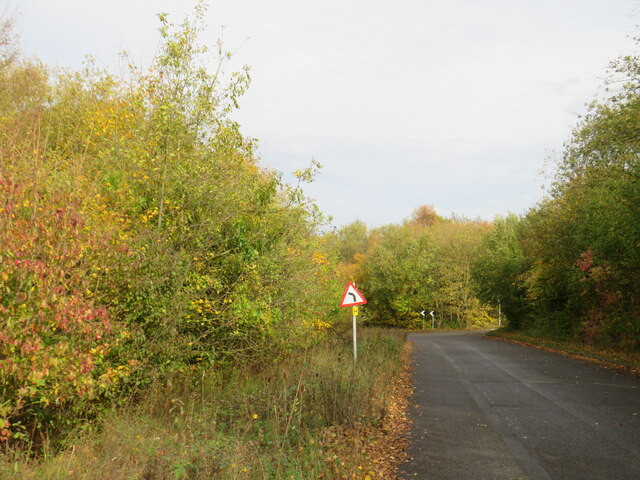
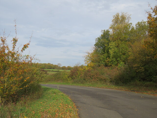
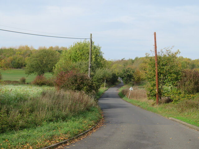
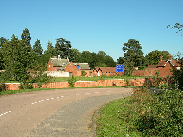
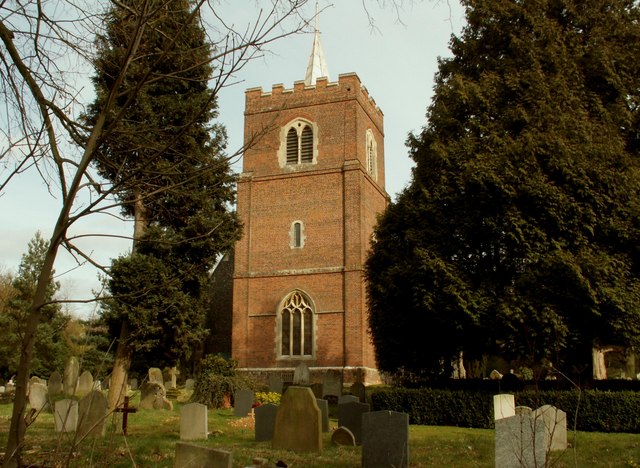
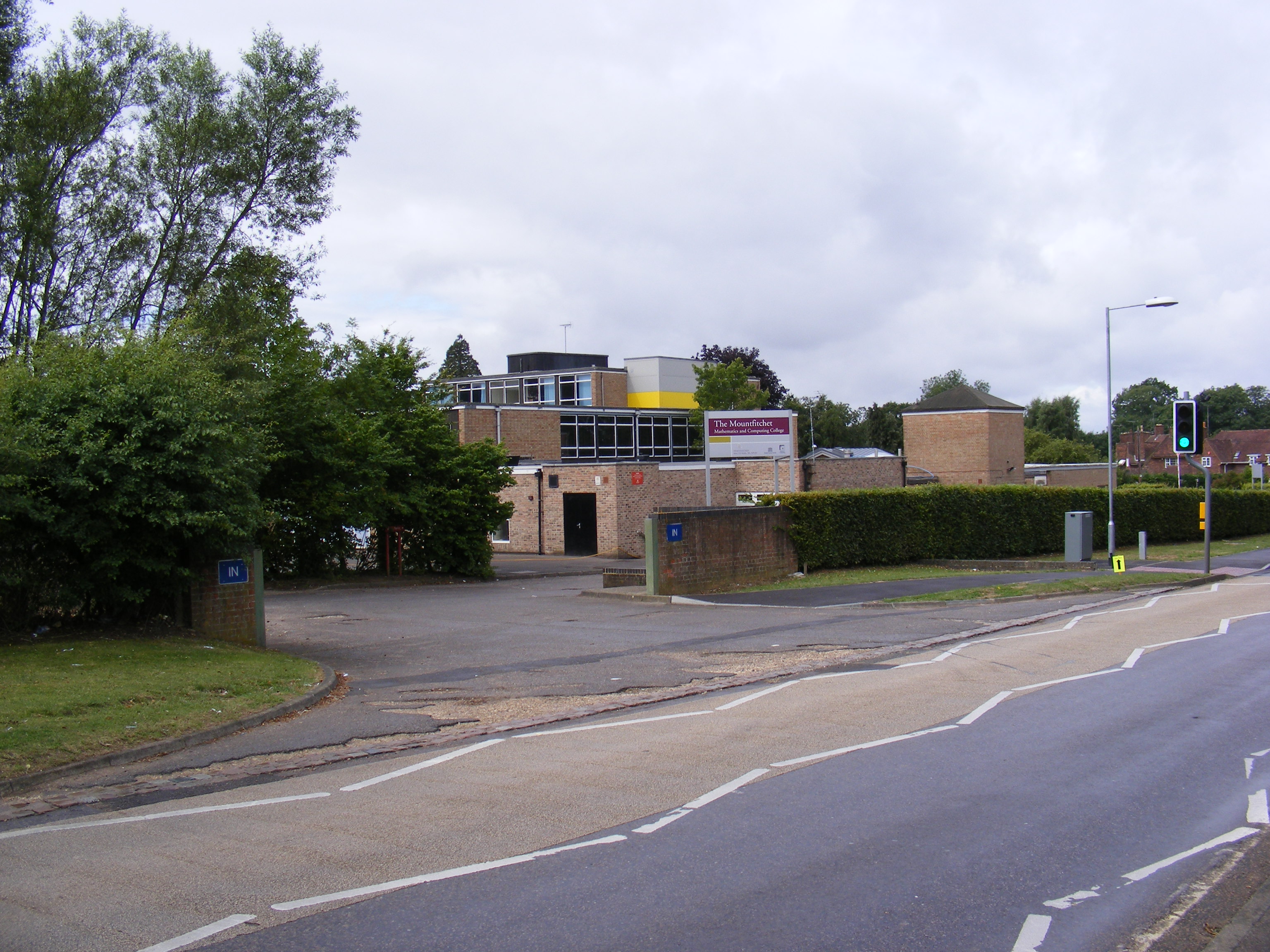
Burton End Images

Images are sourced within 2km of 51.892582/0.223506 or Grid Reference TL5323. Thanks to Geograph Open Source API. All images are credited.

Station Road, Stansted Mounfitchet Station Road in the village of Stansted Mountfitchet in north Essex.
Station Road, Stansted Mounfitchet
Station Road in the village of Stansted Mountfitchet in north Essex.
Lower Street, Stansted Mountfitchet Lower Street in Stansted Mountfitchet, a large village in north Essex.
Lower Street, Stansted Mountfitchet
Lower Street in Stansted Mountfitchet, a large village in north Essex.
Forest Hall Road, Stansted Mountfitchet Forest Hall Road on the edge of the village of Stansted Mountfitchet in north Essex.  This road straddles two Ordnance Survey gridsquares.  The left-hand side of the road is in square TL5123, but the right-hand side and the houses are in TL5124.
Forest Hall Road, Stansted Mountfitchet
Forest Hall Road on the edge of the village of Stansted Mountfitchet in north Essex. This road straddles two Ordnance Survey gridsquares. The left-hand side of the road is in square TL5123, but the right-hand side and the houses are in TL5124.
Forest Hall Road, Stansted Mountfitchet Forest Hall Road at its junction with Church Road, on the edge of the village of Stansted Mountfitchet in north Essex.
Forest Hall Road, Stansted Mountfitchet
Forest Hall Road at its junction with Church Road, on the edge of the village of Stansted Mountfitchet in north Essex.
Lane near Stansted Mountfitchet A lane near the village of Stansted Mountfitchet in north Essex.  The Church of Saint Mary the Virgin peeps through the trees.
Lane near Stansted Mountfitchet
A lane near the village of Stansted Mountfitchet in north Essex. The Church of Saint Mary the Virgin peeps through the trees.
M11 motorway near Stansted Mountfitchet A view of the M11 motorway near the village of Stansted Mountfitchet in north Essex.

This image was taken on a late October day.  The sun is quite low in the sky, trees therefore cast shadows over the southbound carriageway (traffic heading towards the camera).
M11 motorway near Stansted Mountfitchet
A view of the M11 motorway near the village of Stansted Mountfitchet in north Essex. This image was taken on a late October day. The sun is quite low in the sky, trees therefore cast shadows over the southbound carriageway (traffic heading towards the camera).
Bury Lodge Lane, near Stansted Mountfitchet Bury Lodge Lane is a minor road in north Essex, close to Stansted Airport.  The road has a width restriction to prevent large vehicles using it as a through route.
Bury Lodge Lane, near Stansted Mountfitchet
Bury Lodge Lane is a minor road in north Essex, close to Stansted Airport. The road has a width restriction to prevent large vehicles using it as a through route.
Autumn tints on Bury Lodge Lane, near Stansted Mountfitchet Bury Lodge Lane is a minor road in north Essex, near the village of Stansted Mountfitchet.

This image was taken in late October.  Trees alongside the road are displaying autumn tints.
Autumn tints on Bury Lodge Lane, near Stansted Mountfitchet
Bury Lodge Lane is a minor road in north Essex, near the village of Stansted Mountfitchet. This image was taken in late October. Trees alongside the road are displaying autumn tints.
Burton End, near Stansted Mountfitchet Burton End is a small hamlet in north Essex, close to Stansted Airport.
Burton End, near Stansted Mountfitchet
Burton End is a small hamlet in north Essex, close to Stansted Airport.
The Ash pub, Burton End, near Stansted Mountfitchet The Ash pub in the small hamlet of Burton End, in north Essex.
The Ash pub, Burton End, near Stansted Mountfitchet
The Ash pub in the small hamlet of Burton End, in north Essex.
Bury Lodge Lane, Burton End, near Stansted Mountfitchet Bury Lodge Lane passing through the hamlet of Burton End in north Essex.  The sign for The Ash pub stands alongside the road.
Bury Lodge Lane, Burton End, near Stansted Mountfitchet
Bury Lodge Lane passing through the hamlet of Burton End in north Essex. The sign for The Ash pub stands alongside the road.
Belmer Road, Burton End, near Stansted Mountfichet Belmer Road, leading out of the small hamlet of Burton End in north Essex.  The road has a 6'6"" width restriction, to prevent larger vehicles such as lorries using it as a through route.
Belmer Road, Burton End, near Stansted Mountfichet
Belmer Road, leading out of the small hamlet of Burton End in north Essex. The road has a 6'6"" width restriction, to prevent larger vehicles such as lorries using it as a through route.
Belmer Road, near Stansted Airport Belmer Road is a minor road in north Essex countryside.  Stansted Airport lies beyond the row of trees ahead.

This image was taken on a late October day.  Trees are turning yellow as they prepare to shed their leaves for the winter.  Leaves which have already fallen lie either side of the road.
Belmer Road, near Stansted Airport
Belmer Road is a minor road in north Essex countryside. Stansted Airport lies beyond the row of trees ahead. This image was taken on a late October day. Trees are turning yellow as they prepare to shed their leaves for the winter. Leaves which have already fallen lie either side of the road.
Belmer Road, near Stansted Airport Belmer Road is a minor road in north Essex countryside, very close to Stansted Airport.

This image was taken on a late October day.  Trees are turning yellow as they prepare to shed their leaves for the winter.  Leaves which have already fallen lie either side of the road.
Belmer Road, near Stansted Airport
Belmer Road is a minor road in north Essex countryside, very close to Stansted Airport. This image was taken on a late October day. Trees are turning yellow as they prepare to shed their leaves for the winter. Leaves which have already fallen lie either side of the road.
Belmer Road, near Stansted Airport Belmer Road is a minor road in north Essex countryside.  Stansted Airport lies beyond the row of trees to the right.  The parked cars belong to people watching aircraft landing and taking off.

This image was taken on a late October day.  Trees are turning yellow as they prepare to shed their leaves for the winter.  Leaves which have already fallen lie either side of the road.
Belmer Road, near Stansted Airport
Belmer Road is a minor road in north Essex countryside. Stansted Airport lies beyond the row of trees to the right. The parked cars belong to people watching aircraft landing and taking off. This image was taken on a late October day. Trees are turning yellow as they prepare to shed their leaves for the winter. Leaves which have already fallen lie either side of the road.
Belmer Road, near Stansted Airport Belmer Road is a minor road in north Essex countryside.  Stansted Airport lies behind the row of trees on the opposite side of the road.

This image was taken on a late October day.  Trees are turning yellow as they prepare to shed their leaves for the winter.  Leaves which have already fallen lie either side of the road.
Belmer Road, near Stansted Airport
Belmer Road is a minor road in north Essex countryside. Stansted Airport lies behind the row of trees on the opposite side of the road. This image was taken on a late October day. Trees are turning yellow as they prepare to shed their leaves for the winter. Leaves which have already fallen lie either side of the road.
Claypit Hill, near Stansted Airport Claypit Hill is a minor road in north Essex countryside, close to Stansted Airport.

This image was taken on a late October day.  Trees are turning yellow as they prepare to shed their leaves for the winter.  Leaves which have already fallen lie either side of the road.
Claypit Hill, near Stansted Airport
Claypit Hill is a minor road in north Essex countryside, close to Stansted Airport. This image was taken on a late October day. Trees are turning yellow as they prepare to shed their leaves for the winter. Leaves which have already fallen lie either side of the road.
Claypit Hill, near Stansted Airport Claypit Hill is a minor road in north Essex countryside.

This image was taken on a late October day.  Trees are turning yellow as they prepare to shed their leaves for the winter.  Leaves which have already fallen lie to the side of the road.
Claypit Hill, near Stansted Airport
Claypit Hill is a minor road in north Essex countryside. This image was taken on a late October day. Trees are turning yellow as they prepare to shed their leaves for the winter. Leaves which have already fallen lie to the side of the road.
Show me another place!

Burton End is located at Grid Ref: TL5323 (Lat: 51.892582, Lng: 0.223506)

Administrative County: Essex

District: Uttlesford

Police Authority: Essex

What 3 Words

///variously.frantic.exclusive. Near Stansted Mountfitchet, Essex

Nearby Locations

Burton End

Related Wikis

Stansted Rural District

Stansted was a rural district in Essex, England from 1894 (1894) to 1934 (1934). It was created under the Local Government Act 1894 from the part of the...

Stansted Hall

Stansted or Steanstead Hall is located in Stansted Mountfitchet, Essex, East of England, United Kingdom. It was the country seat of the Earls of Essex...

Arthur Findlay College

Arthur Findlay College is a college of Spiritualism and psychic sciences at Stansted Hall in Stansted Mountfitchet, Essex, England. Stansted Hall was built...

St Mary the Virgin's Church, Stansted Mountfitchet

St Mary the Virgin's Church is a redundant Anglican church near the village of Stansted Mountfitchet, Essex, England. It is recorded in the National Heritage...

RAF Stansted Mountfitchet

RAF Stansted Mountfitchet was a Royal Air Force station during the Second World War located near the village of Stansted Mountfitchet in the District of...

London Stansted Airport

London Stansted Airport (IATA: STN, ICAO: EGSS) is an international airport serving London, England. It is located near Stansted Mountfitchet, Essex, 42...

Forest Hall School

Forest Hall School is a coeducational secondary school located in Stansted Mountfitchet, Essex, England. In 2016 64% of students gained at least 5 GCSEs...

Stansted Mountfitchet

Stansted Mountfitchet is an English village and civil parish in Uttlesford district, Essex, near the Hertfordshire border, 35 miles (56 km) north of London...

Nearby Amenities

Located within 500m of 51.892582,0.223506
Power: pole
Lat/Long: 51.8909547/0.2194373
Power: pole
Lat/Long: 51.8892561/0.2259709
Power: pole
Lat/Long: 51.8905048/0.2196197
Power: pole
Lat/Long: 51.8908422/0.2224197
Power: pole
Lat/Long: 51.8905242/0.2224626
Power: pole
Lat/Long: 51.8895045/0.2262552
Burton End
Place: hamlet
Lat/Long: 51.8932172/0.2219681
Barrier: stile
Stile: stepover
Lat/Long: 51.8909669/0.2284166
Fixme: needs survey
Lat/Long: 51.8935191/0.2206015
Power: pole
Lat/Long: 51.8901591/0.2182326
Power: pole
Lat/Long: 51.8909263/0.2210234
Power: pole
Lat/Long: 51.8901458/0.2239068
Power: pole
Lat/Long: 51.8899207/0.2246337
Power: pole
Lat/Long: 51.8902542/0.2249998
Power: pole
Lat/Long: 51.8905158/0.2238987
Power: pole
Lat/Long: 51.8911672/0.2209429
Power: pole
Lat/Long: 51.8906788/0.2179402
Telephone
Booth: KX100
Covered: booth
Operator: BT
Operator Wikidata: Q593786
Lat/Long: 51.8940757/0.2168983
Advertising: board
Direction: -160
Lat/Long: 51.894074/0.2169198
Generator Method: photovoltaic
Generator Output Electricity: yes
Generator Source: solar
Generator Type: solar_photovoltaic_panel
Location: roof
Power: generator
Lat/Long: 51.8943726/0.2175164
Man Made: mast
Lat/Long: 51.8889993/0.2243091
The data included in this document is from www.openstreetmap.org. The data is made available under ODbL.

Have you been to Burton End?

Leave your review of Burton End below (or comments, questions and feedback).