Coed Isaf

Wood, Forest in Caernarfonshire

Wales

Coed Isaf

Penrhynside View across Penrhynside towards the Great Orme
Penrhynside Credit: Dot Potter

The requested URL returned error: 429 Too Many Requests

If you have any feedback on the listing, please let us know in the comments section below.
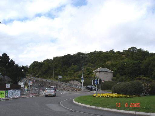
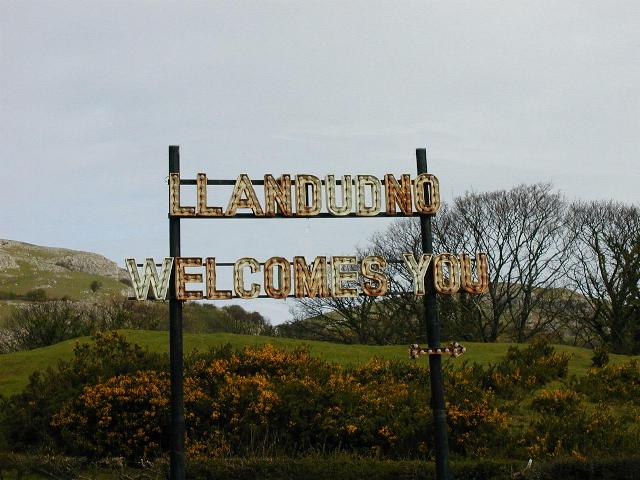
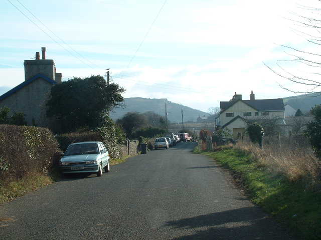
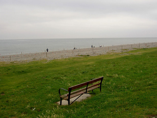
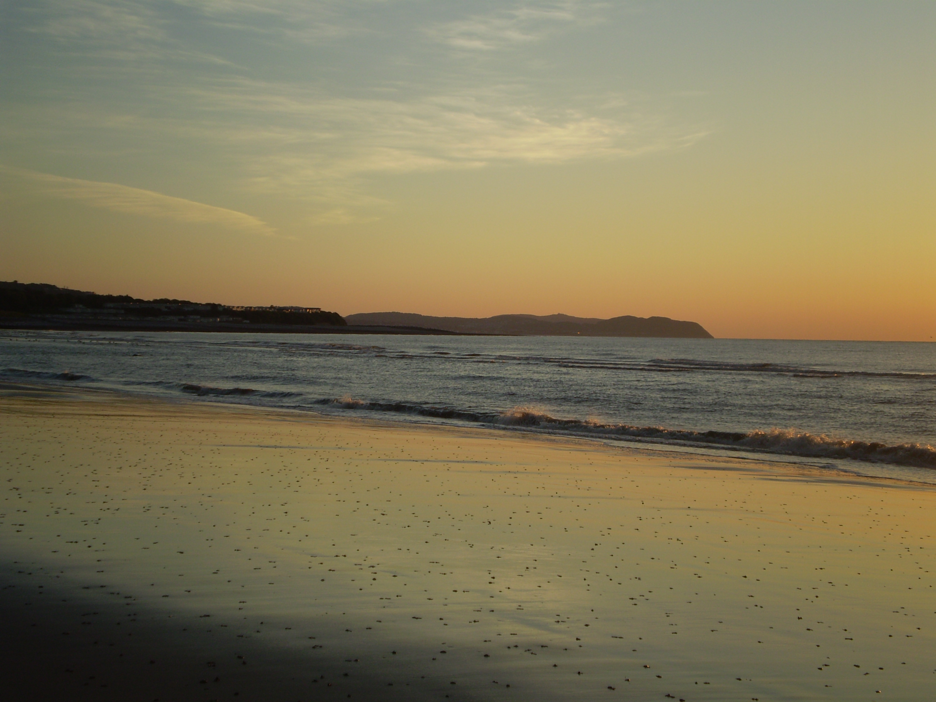
Coed Isaf Images

Images are sourced within 2km of 53.308109/-3.791707 or Grid Reference SH8080. Thanks to Geograph Open Source API. All images are credited.

Penrhynside View across Penrhynside towards the Great Orme
Penrhynside
View across Penrhynside towards the Great Orme
Penrhyn roundabout Roundabout at Penrhynside which leads away in the picture up towards the Little Orme
Penrhyn roundabout
Roundabout at Penrhynside which leads away in the picture up towards the Little Orme
A welcome to Llandudno Sign on approach to town over the Little Orme
A welcome to Llandudno
Sign on approach to town over the Little Orme
Craigside beach The beach at Craigside, Llandudno Bay - Looking towards the Little Orme.
Craigside beach
The beach at Craigside, Llandudno Bay - Looking towards the Little Orme.
St David's Looking North towards miscellaneous buildings within St David's College.
St David's
Looking North towards miscellaneous buildings within St David's College.
Glanwydden Looking SE towards the village centre
Glanwydden
Looking SE towards the village centre
Near Pen Y Bont Looking Northwards with a view across the whole square
Near Pen Y Bont
Looking Northwards with a view across the whole square
Pebbled beach, Llandudno Bay with Little Orme headland
View W from Little Orme This view shows the Little Orme in the foreground. The peninsula that is Great Orme's Head is seen in the background. Llandudno is largely built on the low-lying isthmus which connects it with the mainland. The eastern coastline of the isle of Anglesey is seen in the far distance.
View W from Little Orme
This view shows the Little Orme in the foreground. The peninsula that is Great Orme's Head is seen in the background. Llandudno is largely built on the low-lying isthmus which connects it with the mainland. The eastern coastline of the isle of Anglesey is seen in the far distance.
The isthmus of Great Orme's Head This view from Little Orme shows the isthmus of Great Orme's Head peninsula. The town of Llandudno is built largely on this low-lying neck of land.
The isthmus of Great Orme's Head
This view from Little Orme shows the isthmus of Great Orme's Head peninsula. The town of Llandudno is built largely on this low-lying neck of land.
American Power Part of the Llandudno Victorian Weekend held every year over the May Bank Holiday, which includes street entertainment, static displays of Vintage & Veteran Vehicles etc.
American Power
Part of the Llandudno Victorian Weekend held every year over the May Bank Holiday, which includes street entertainment, static displays of Vintage & Veteran Vehicles etc.
Llandudno Bay Looking Towards the Little Orme
North beach, Llandudno This is near Craigside, and the Little Orme can be seen on the right of the photo. At the moment the beach has been fenced off.
North beach, Llandudno
This is near Craigside, and the Little Orme can be seen on the right of the photo. At the moment the beach has been fenced off.
Lonely bench Beach fishermen in the background to the lonely bench on Llandudno's east end. In contrast on the sea front around the centre is literally miles of seating.
Lonely bench
Beach fishermen in the background to the lonely bench on Llandudno's east end. In contrast on the sea front around the centre is literally miles of seating.
Colwyn Road, Llandudno This is the B5115. The Little Orme dominates the background.
Colwyn Road, Llandudno
This is the B5115. The Little Orme dominates the background.
Rhwyddlwyn pigog / Spiked speedwell / Vernonica spikata This rare flower is found on a number of locations on the Gloddaeth Hills.
Rhwyddlwyn pigog / Spiked speedwell / Vernonica spikata
This rare flower is found on a number of locations on the Gloddaeth Hills.
Cyw iar y coed / Chicken of the woods / Laetiporus sulphureus
Wal gerrig ac ysgubor ar Ochr Penrhyn / Stone wall and barn on Penrhynside
Show me another place!

Coed Isaf is located at Grid Ref: SH8080 (Lat: 53.308109, Lng: -3.791707)

Unitary Authority: Conwy

Police Authority: North Wales

What 3 Words

///magnets.showrooms.soon. Near Deganwy, Conwy

Related Wikis

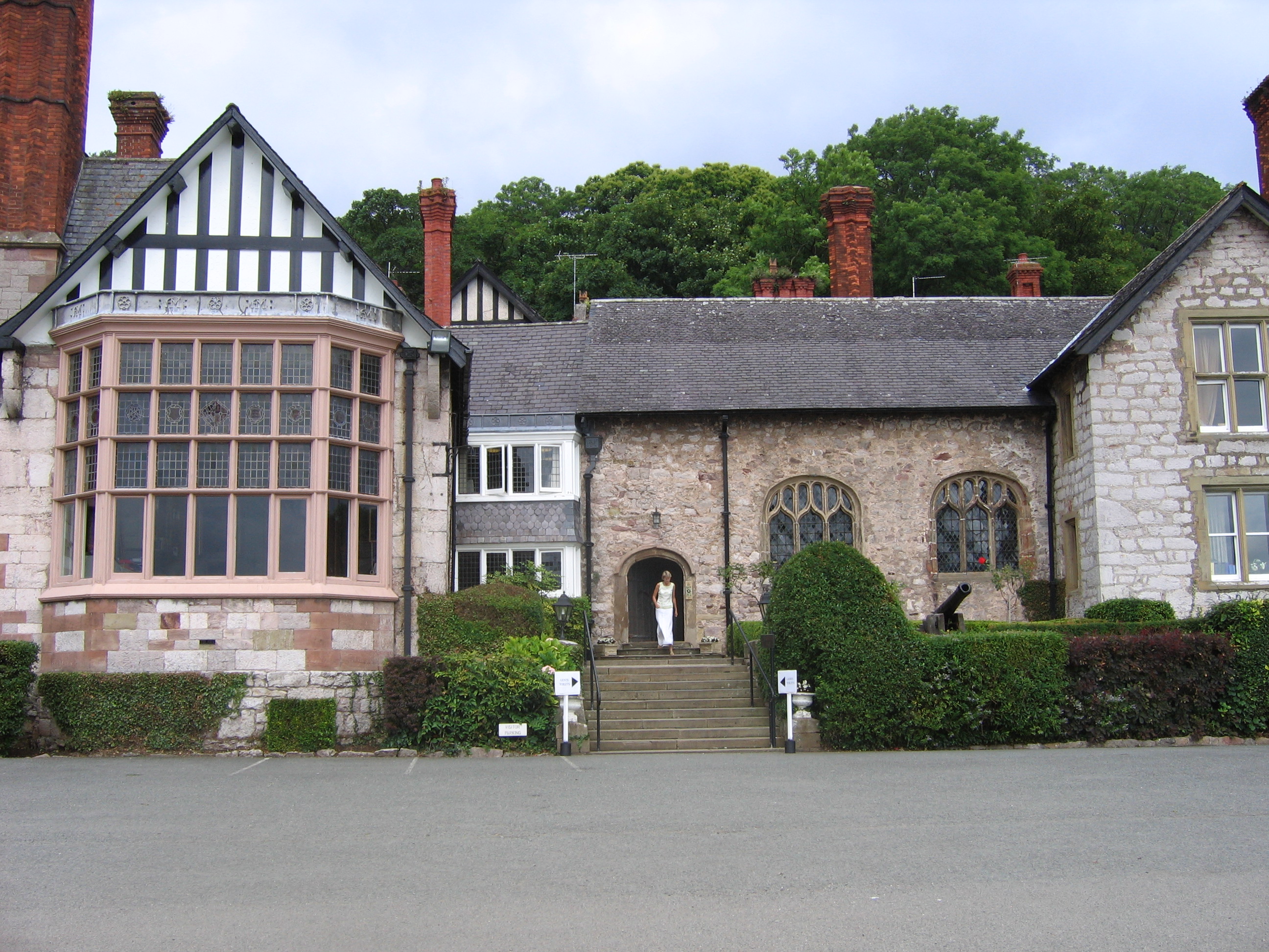
St David's College, Llandudno

St David's College is a private, boarding and day, middle and high school occupying Gloddaeth Hall in Llanrhos, Llandudno, north Wales. The school was...
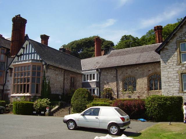
Gloddaeth Hall

Gloddaeth Hall originated as a large country house in Llandudno, Caernarfonshire (now Conwy), Wales. It is designated by Cadw as a Grade I listed building...

Creuddyn Peninsula

The Creuddyn Peninsula (Welsh: Y Creuddyn) is a small peninsula in Conwy County Borough in Wales. It includes Llandudno, Rhos-on-Sea, Deganwy, Penrhyn...

Ysgol y Creuddyn

Ysgol y Creuddyn (Welsh pronunciation: [ˈəskɔl ə ˈkrɛɨðɨn]) is a Welsh-medium secondary school, situated in Penrhyn Bay outside Llandudno, Wales, named...

Nearby Amenities

Located within 500m of 53.308109,-3.791707
The data included in this document is from www.openstreetmap.org. The data is made available under ODbL.

Have you been to Coed Isaf?

Leave your review of Coed Isaf below (or comments, questions and feedback).