Coed Gaer

Wood, Forest in Caernarfonshire

Wales

Coed Gaer

Penrhynside View across Penrhynside towards the Great Orme
Penrhynside Credit: Dot Potter

Coed Gaer is a picturesque woodland located in the county of Caernarfonshire, Wales. This enchanting forest spans over a vast area, providing a serene and peaceful retreat for nature enthusiasts and outdoor lovers alike. The name "Coed Gaer" translates to "Wood, Forest" in English, perfectly encapsulating the essence of this remarkable natural landscape.

Nestled within the majestic Snowdonia National Park, Coed Gaer offers a diverse range of flora and fauna, making it a haven for biodiversity. The forest boasts a rich tapestry of different tree species, including oak, beech, and birch, which create a vibrant and ever-changing backdrop throughout the seasons. Walking through the woodland, visitors can revel in the tranquility of nature, as sunlight filters through the dense canopy, illuminating the forest floor.

Coed Gaer is also home to an assortment of wildlife, providing a unique opportunity for wildlife enthusiasts to observe and appreciate nature up close. The forest is known to harbor a variety of bird species, such as woodpeckers, owls, and warblers, filling the air with their melodic songs. It is not uncommon to spot squirrels scurrying among the branches or deer grazing quietly in the undergrowth.

With its well-maintained trails, Coed Gaer offers an ideal setting for hikers and nature lovers to explore. The paths wind their way through the forest, passing by babbling brooks, hidden waterfalls, and scenic viewpoints. The forest also provides a peaceful retreat for those seeking solace or a moment of quiet reflection.

Coed Gaer truly embodies the natural beauty of Caernarfonshire, inviting visitors to immerse themselves in its enchanting woodland and experience the tranquility and wonder of this captivating natural gem.

If you have any feedback on the listing, please let us know in the comments section below.
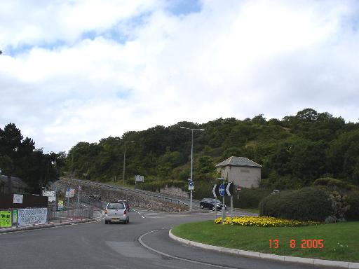
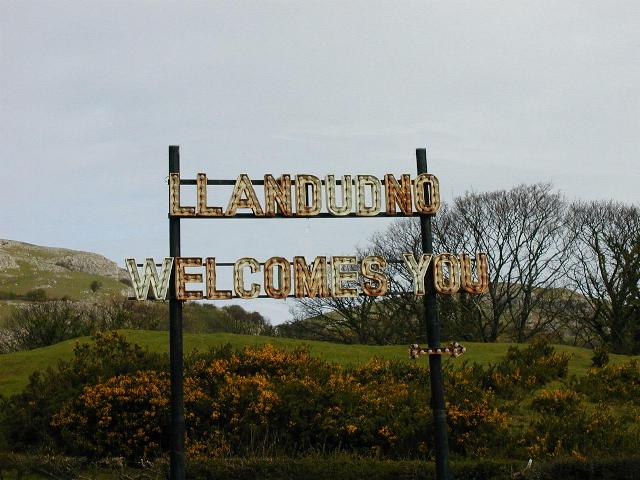
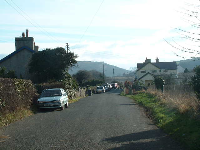
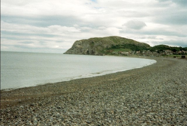
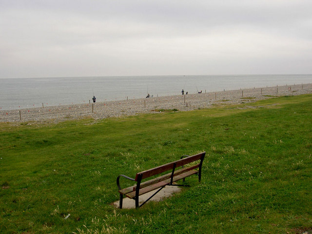
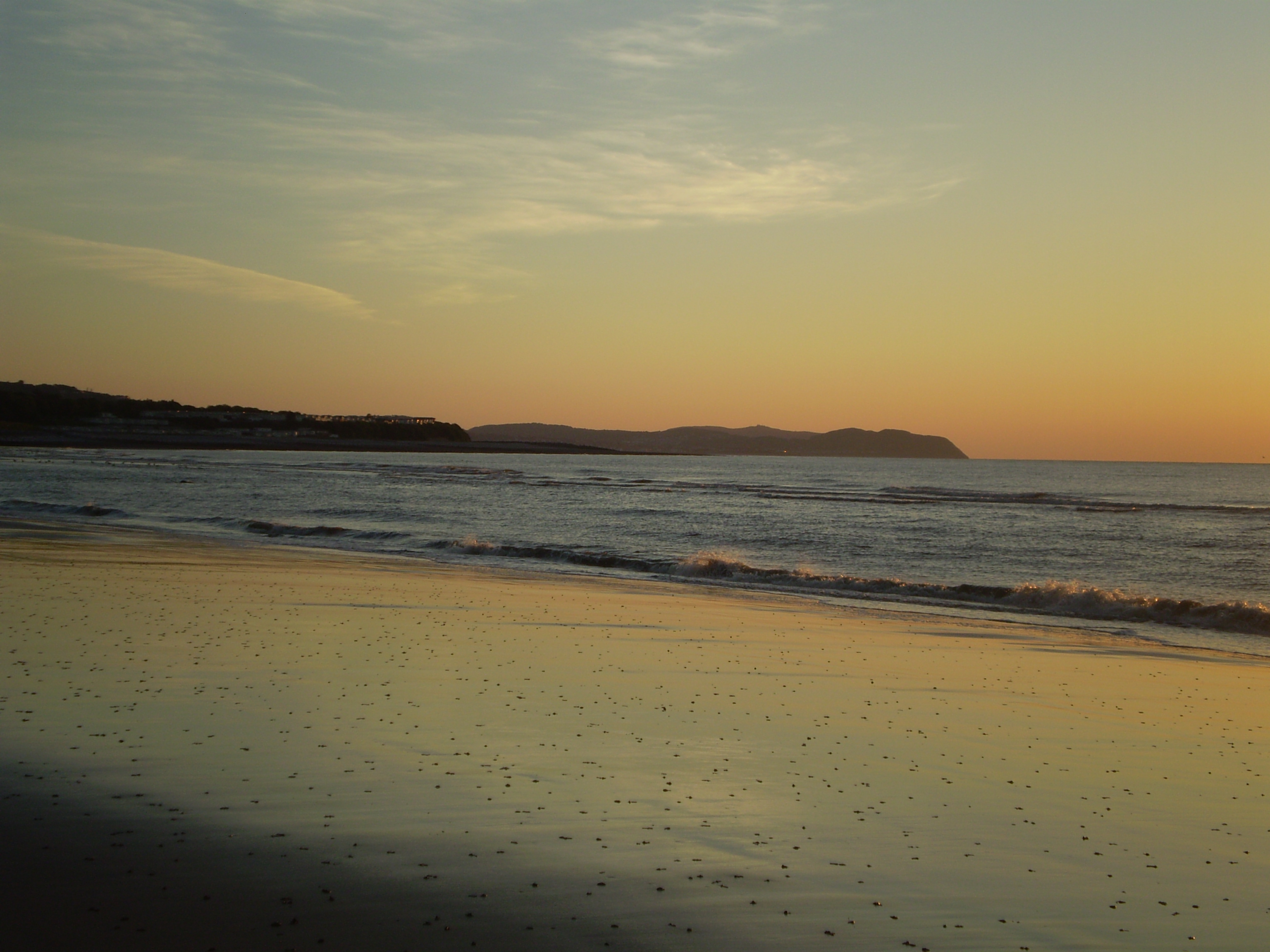
Coed Gaer Images

Images are sourced within 2km of 53.31152/-3.7992201 or Grid Reference SH8080. Thanks to Geograph Open Source API. All images are credited.

Penrhynside View across Penrhynside towards the Great Orme
Penrhynside
View across Penrhynside towards the Great Orme
Penrhyn roundabout Roundabout at Penrhynside which leads away in the picture up towards the Little Orme
Penrhyn roundabout
Roundabout at Penrhynside which leads away in the picture up towards the Little Orme
A welcome to Llandudno Sign on approach to town over the Little Orme
A welcome to Llandudno
Sign on approach to town over the Little Orme
Craigside beach The beach at Craigside, Llandudno Bay - Looking towards the Little Orme.
Craigside beach
The beach at Craigside, Llandudno Bay - Looking towards the Little Orme.
St David's Looking North towards miscellaneous buildings within St David's College.
St David's
Looking North towards miscellaneous buildings within St David's College.
Glanwydden Looking SE towards the village centre
Glanwydden
Looking SE towards the village centre
Little Orme's Head Taken from the beach at Llandudno.
Little Orme's Head
Taken from the beach at Llandudno.
Pebbled beach, Llandudno Bay with Little Orme headland
Path across top of Little Orme
View W from Little Orme This view shows the Little Orme in the foreground. The peninsula that is Great Orme's Head is seen in the background. Llandudno is largely built on the low-lying isthmus which connects it with the mainland. The eastern coastline of the isle of Anglesey is seen in the far distance.
View W from Little Orme
This view shows the Little Orme in the foreground. The peninsula that is Great Orme's Head is seen in the background. Llandudno is largely built on the low-lying isthmus which connects it with the mainland. The eastern coastline of the isle of Anglesey is seen in the far distance.
The isthmus of Great Orme's Head This view from Little Orme shows the isthmus of Great Orme's Head peninsula. The town of Llandudno is built largely on this low-lying neck of land.
The isthmus of Great Orme's Head
This view from Little Orme shows the isthmus of Great Orme's Head peninsula. The town of Llandudno is built largely on this low-lying neck of land.
American Power Part of the Llandudno Victorian Weekend held every year over the May Bank Holiday, which includes street entertainment, static displays of Vintage & Veteran Vehicles etc.
American Power
Part of the Llandudno Victorian Weekend held every year over the May Bank Holiday, which includes street entertainment, static displays of Vintage & Veteran Vehicles etc.
Llandudno Bay Looking Towards the Little Orme
North beach, Llandudno This is near Craigside, and the Little Orme can be seen on the right of the photo. At the moment the beach has been fenced off.
North beach, Llandudno
This is near Craigside, and the Little Orme can be seen on the right of the photo. At the moment the beach has been fenced off.
Lonely bench Beach fishermen in the background to the lonely bench on Llandudno's east end. In contrast on the sea front around the centre is literally miles of seating.
Lonely bench
Beach fishermen in the background to the lonely bench on Llandudno's east end. In contrast on the sea front around the centre is literally miles of seating.
Colwyn Road, Llandudno This is the B5115. The Little Orme dominates the background.
Colwyn Road, Llandudno
This is the B5115. The Little Orme dominates the background.
Rhwyddlwyn pigog / Spiked speedwell / Vernonica spikata This rare flower is found on a number of locations on the Gloddaeth Hills.
Rhwyddlwyn pigog / Spiked speedwell / Vernonica spikata
This rare flower is found on a number of locations on the Gloddaeth Hills.
Cyw iar y coed / Chicken of the woods / Laetiporus sulphureus
Show me another place!

Coed Gaer is located at Grid Ref: SH8080 (Lat: 53.31152, Lng: -3.7992201)

Unitary Authority: Conwy

Police Authority: North Wales

What 3 Words

///raven.inspector.hopping. Near Deganwy, Conwy

Related Wikis

Creuddyn Peninsula

The Creuddyn Peninsula (Welsh: Y Creuddyn) is a small peninsula in Conwy County Borough in Wales. It includes Llandudno, Rhos-on-Sea, Deganwy, Penrhyn...
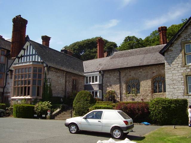
Gloddaeth Hall

Gloddaeth Hall originated as a large country house in Llandudno, Caernarfonshire (now Conwy), Wales. It is designated by Cadw as a Grade I listed building...

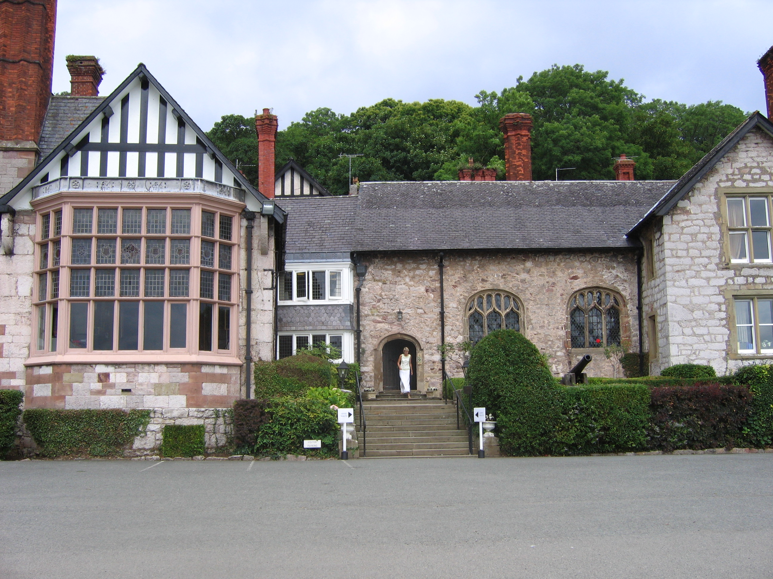
St David's College, Llandudno

St David's College is a private, boarding and day, middle and high school occupying Gloddaeth Hall in Llanrhos, Llandudno, north Wales. The school was...

Craig-y-Don

Craig-y-Don is a suburb of Llandudno, a coastal seaside resort in Conwy county borough, north Wales. It is also an electoral ward to Conwy County Borough...

Aberconwy (UK Parliament constituency)

Aberconwy is a constituency represented in the House of Commons of the UK Parliament since 2019 by Robin Millar, a Conservative.The seat was created by...

Aberconwy (Senedd constituency)

Aberconwy is a constituency of the Senedd. First created for the former Assembly's 2007 election. It elects one Member of the Senedd by the first past...

Ysgol Glanwydden

Ysgol Glanwydden is a Welsh Primary school in Glanwydden, near Llandudno, for 3-11 year olds. The school celebrated its hundred-year anniversary in 2010...

Ysgol y Creuddyn

Ysgol y Creuddyn (Welsh pronunciation: [ˈəskɔl ə ˈkrɛɨðɨn]) is a Welsh-medium secondary school, situated in Penrhyn Bay outside Llandudno, Wales, named...

Nearby Amenities

Located within 500m of 53.31152,-3.7992201
Nant-y-Gamar
Place: hamlet
Lat/Long: 53.3147559/-3.8017744
Coed Gaer Hut Circle
Archaeological Site: settlement
Historic: archaeological_site
Lat/Long: 53.311582/-3.802285
Direction: 125
Generator Method: photovoltaic
Generator Output Electricity: yes
Generator Solar Modules: 12
Generator Source: solar
Generator Type: solar_photovoltaic_panel
Location: roof
Power: generator
Lat/Long: 53.3138201/-3.8018308
The data included in this document is from www.openstreetmap.org. The data is made available under ODbL.

Have you been to Coed Gaer?

Leave your review of Coed Gaer below (or comments, questions and feedback).