Coed Lociau

Wood, Forest in Merionethshire

Wales

Coed Lociau

Dyfi Forest New mobile phone mast in Dyfi Forest.
Dyfi Forest Credit: Peter McDermott

The requested URL returned error: 429 Too Many Requests

If you have any feedback on the listing, please let us know in the comments section below.

Coed Lociau Images

Images are sourced within 2km of 52.691417/-3.783215 or Grid Reference SH7911. Thanks to Geograph Open Source API. All images are credited.

Dyfi Forest New mobile phone mast in Dyfi Forest.
Dyfi Forest
New mobile phone mast in Dyfi Forest.
Dyfi Forest
Dyfi Forest
Dyfi Forest
Dyfi Forest
Dyfi Forest Cyclist in Dyfi Forest.
Dyfi Forest
Cyclist in Dyfi Forest.
Dyfi Forest
Dyfi Forest
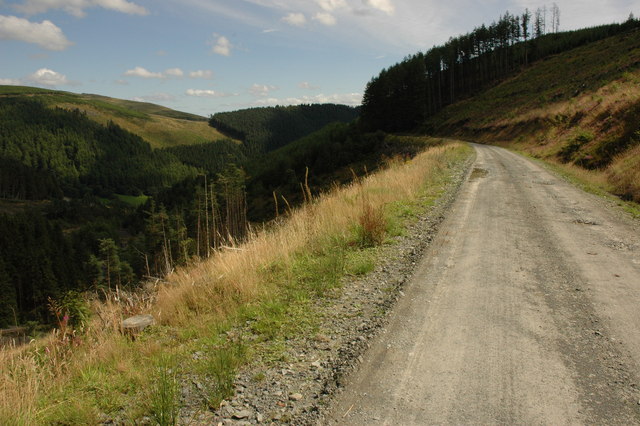
Forestry road approaching a junction, Gartheiniog Forest
From Craig Portas Looking down the valley formed by the Afon Angell
From Craig Portas
Looking down the valley formed by the Afon Angell
Gartheiniog Rally Stage
Steep hill on hill road There are several 1 in 5 (20%) grades on the hill road connecting Aberllefenni with Aberangell; this is the uppermost one on the Aberllefenni side. The road has been improved considerably since I was last this way 6 years ago.
Steep hill on hill road
There are several 1 in 5 (20%) grades on the hill road connecting Aberllefenni with Aberangell; this is the uppermost one on the Aberllefenni side. The road has been improved considerably since I was last this way 6 years ago.
Forestry track into Cwm Gerwyn The stone quarry on Y Grug can be seen in the distance.
Forestry track into Cwm Gerwyn
The stone quarry on Y Grug can be seen in the distance.
Stone quarry on Y Grug
Hen gapel, Cwm Ratgoed The old Ratgoed Methodist chapel, long roofless, but a little tidied up (as is the whole valley) of late. An artist added stained glass to the small windows above the door and on the day of my visit, Christmas Eve, a couple were decking it out for a community get-together that evening, with carols and festive food and drink.
Hen gapel, Cwm Ratgoed
The old Ratgoed Methodist chapel, long roofless, but a little tidied up (as is the whole valley) of late. An artist added stained glass to the small windows above the door and on the day of my visit, Christmas Eve, a couple were decking it out for a community get-together that evening, with carols and festive food and drink.
Dolgoed The footpath goes past Dolgoed, a beautiful C17 farm house at the top of Cwm Ratgoed.
Dolgoed
The footpath goes past Dolgoed, a beautiful C17 farm house at the top of Cwm Ratgoed.
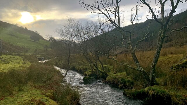
Nant Ceiswyn The view along the river, Nant Ceiswyn, that runs the length of the old slate quarrying valley of Cwm Ratgoed.
Nant Ceiswyn
The view along the river, Nant Ceiswyn, that runs the length of the old slate quarrying valley of Cwm Ratgoed.
Forestry road near Aberllefenni
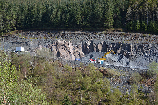
Llwydiarth Construction plant on a forestry road near Llwydiarth.
Llwydiarth
Construction plant on a forestry road near Llwydiarth.
Dyfi Forest
Dyfi Forest
Dyfi Forest
Dyfi Forest
Show me another place!

Coed Lociau is located at Grid Ref: SH7911 (Lat: 52.691417, Lng: -3.783215)

Unitary Authority: Gwynedd

Police Authority: North Wales

What 3 Words

///journals.extreme.vies. Near Corris, Gwynedd

Nearby Locations

Dovey Hills Coed Lociau

Related Wikis

Mynydd Hendre-ddu

Mynydd Hendre-ddu or Mynydd Hendreddu is a mountain in southern Snowdonia, Wales. It is one of a line of mountains running from Mynydd Dolgoed in the north...

Hendreddu quarry

Hendreddu quarry was a slate quarry about three miles west of Aberangell in Merioneth (now Gwynedd), North Wales, near Nant Hendreddu on the slopes of...

Ratgoed quarry

Ratgoed quarry (also known as Alltgoed quarry) was the northernmost of the slate quarries served by the Corris Railway. It is one mile north of Aberllefenni...

Yellow Aster Mine

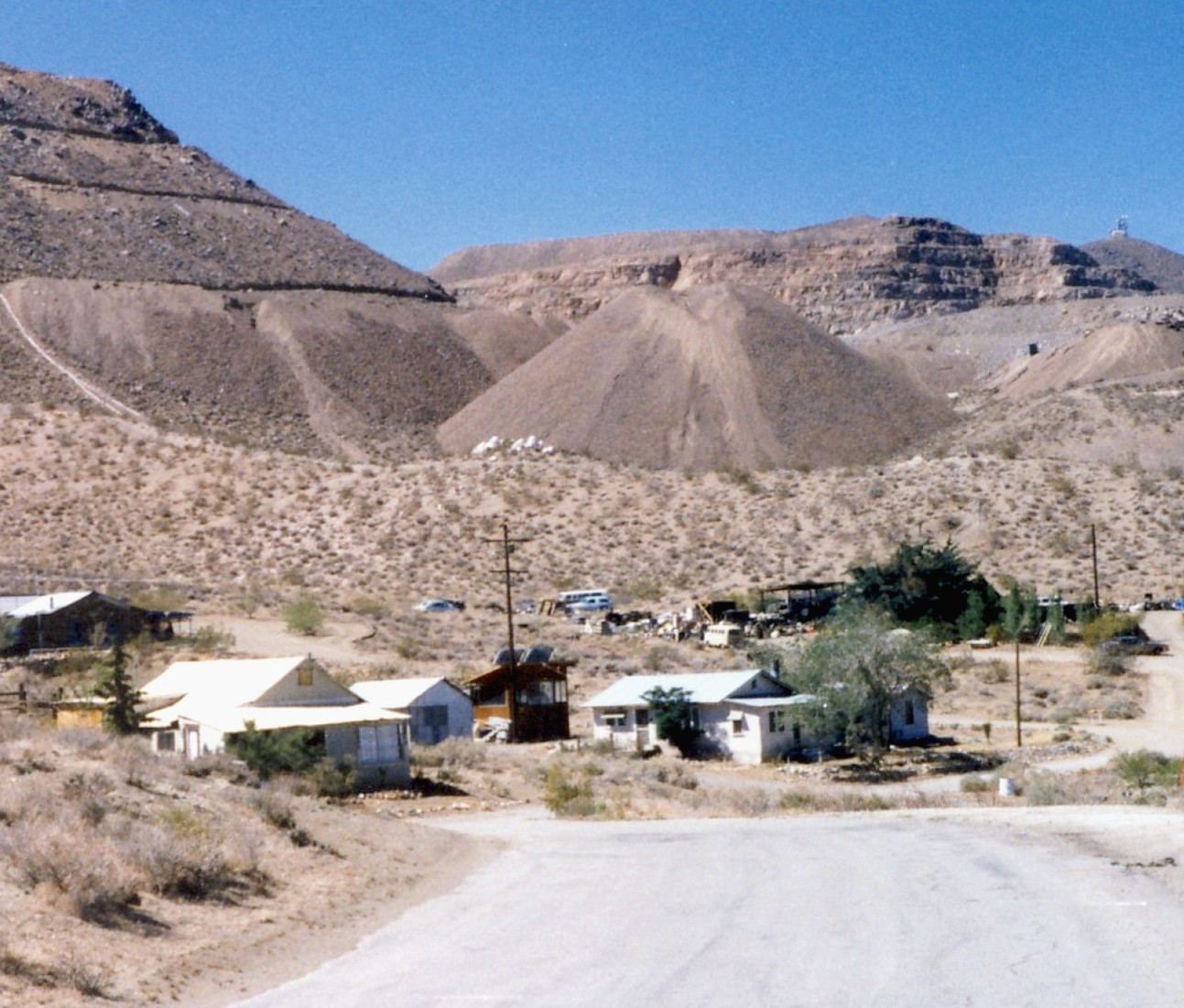
Yellow Aster Mine was a large gold mine in Southern California. == Discovery == In 1894, prospectors Frederic Mooers and William Langdon ventured into...

Nearby Amenities

Located within 500m of 52.691417,-3.783215
Ffridd Llwydiarth
Ele: 314
Natural: peak
Lat/Long: 52.688137/-3.784636
The data included in this document is from www.openstreetmap.org. The data is made available under ODbL.

Have you been to Coed Lociau?

Leave your review of Coed Lociau below (or comments, questions and feedback).