Coed Pant-y-neuadd

Wood, Forest in Montgomeryshire

Wales

Coed Pant-y-neuadd

Llwybr ceffyl ar ochr Bryn y Brain Bridleway on the flank of Bryn y Brain.
Llwybr ceffyl ar ochr Bryn y Brain Credit: Mike Parker

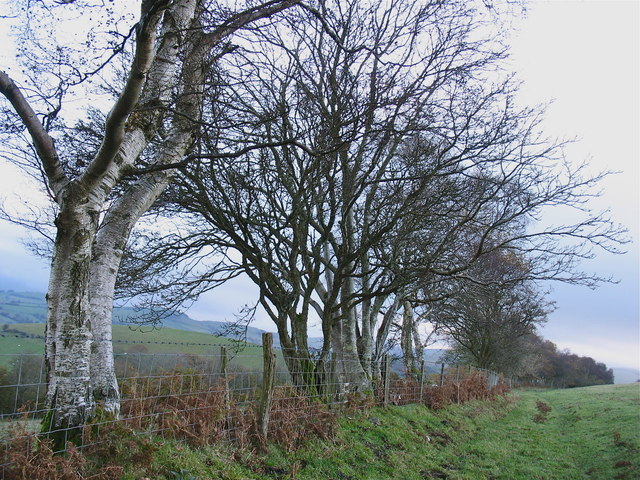
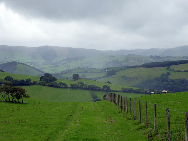
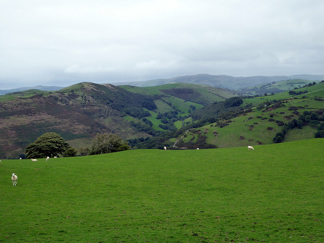
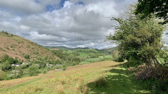
Coed Pant-y-neuadd, located in Montgomeryshire, is a breathtaking woodland area known for its natural beauty and rich biodiversity. The name "Coed Pant-y-neuadd" translates to "Wood of the Hollow of the Hall" in English. Spanning approximately 300 acres, this forest is a haven for nature enthusiasts and provides a tranquil escape from the hustle and bustle of everyday life.

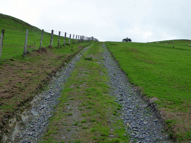
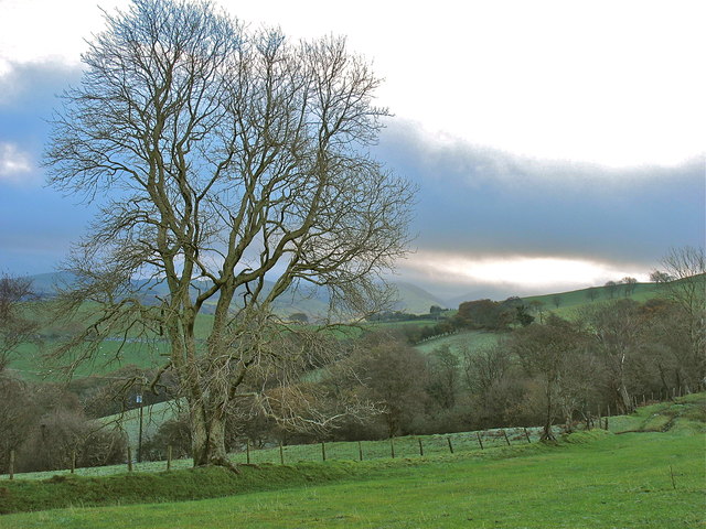
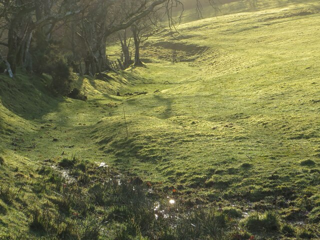
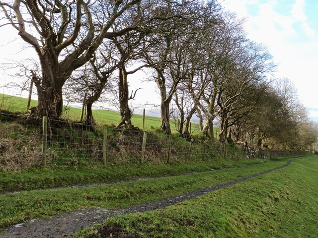
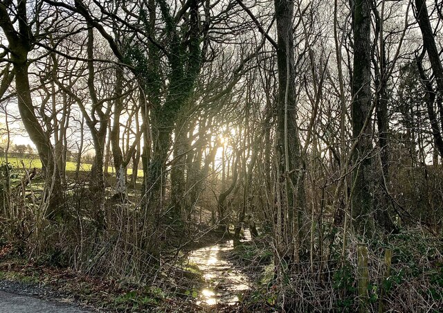
The woodland is characterized by its diverse range of tree species, including oak, beech, birch, and ash, which create a dense canopy overhead. The forest floor is adorned with a variety of wildflowers, ferns, and mosses, adding to its enchanting atmosphere. The area is also intersected by several babbling streams, adding to the serenity of the surroundings.

Coed Pant-y-neuadd is home to a wide array of wildlife, making it an ideal spot for birdwatching and animal spotting. Visitors may have the opportunity to spot species such as red kites, buzzards, woodpeckers, and various songbirds. Squirrels, badgers, and rabbits are also commonly seen within the woodland. Additionally, the forest provides a habitat for a diverse range of insect species, contributing to the overall ecological importance of the area.

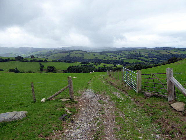
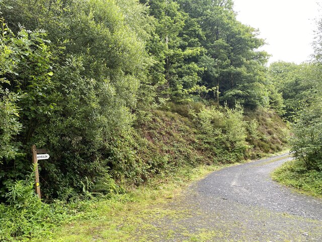
The woodland is open to the public, and there are well-maintained paths and trails that allow visitors to explore the area at their own pace. The peaceful ambiance and stunning scenery make Coed Pant-y-neuadd a popular destination for nature walks, picnics, and photography. Whether seeking solitude or an educational experience, this woodland offers a memorable encounter with the natural world.

If you have any feedback on the listing, please let us know in the comments section below.

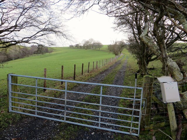
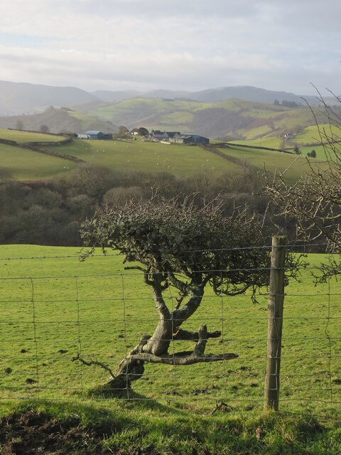
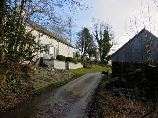
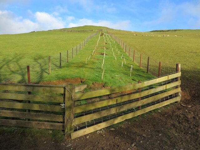
Coed Pant-y-neuadd Images

Images are sourced within 2km of 52.581676/-3.7788893 or Grid Reference SN7999. Thanks to Geograph Open Source API. All images are credited.

Llwybr ceffyl ar ochr Bryn y Brain Bridleway on the flank of Bryn y Brain.
Llwybr ceffyl ar ochr Bryn y Brain
Bridleway on the flank of Bryn y Brain.
Track leading down from Ffridd Wyllt towards Maesterran Farm Drizzle was falling here and there appeared to be heavier rain in the valley below. The farm track here somehow gave the impression of being of some antiquity and that proved to be the case as it is shown on the 1887 map. It is now a right of way down to Maesterran Farm and beyond.
Track leading down from Ffridd Wyllt towards Maesterran Farm
Drizzle was falling here and there appeared to be heavier rain in the valley below. The farm track here somehow gave the impression of being of some antiquity and that proved to be the case as it is shown on the 1887 map. It is now a right of way down to Maesterran Farm and beyond.
Open gate on the track down to Maesterran Farm
Above Cwm Gwydol The hamlet of Abercegir is hidden in the valley below.
Above Cwm Gwydol
The hamlet of Abercegir is hidden in the valley below.
Ancient roadway above Maesterran Farm Also a right of way.
Ancient roadway above Maesterran Farm
Also a right of way.
Onnen / Ash On the bridleway by Bryn y Brain.
Onnen / Ash
On the bridleway by Bryn y Brain.
Hen ffordd y porthmyn The old drovers' road, now a sunken bridleway along the flank of Bryn-y-Brain.
Hen ffordd y porthmyn
The old drovers' road, now a sunken bridleway along the flank of Bryn-y-Brain.
Ffordd ceffyl Bridleway on Bryn-y-Brain
Ffordd ceffyl
Bridleway on Bryn-y-Brain
Ffordd ceffyl i Bryn-y-Brain The old drovers' road, now a bridleway, that leads to Bryn-y-Brain farm.
Ffordd ceffyl i Bryn-y-Brain
The old drovers' road, now a bridleway, that leads to Bryn-y-Brain farm.
Fferm Tŷ Mawr Tŷ Mawr farm across the fields from the lane.
Fferm Tŷ Mawr
Tŷ Mawr farm across the fields from the lane.
Pen-y-Bryn And old farm, now a holiday let.
Pen-y-Bryn
And old farm, now a holiday let.
Coed newydd Newly-planted trees on the side of Bryn-y-Brain.
Coed newydd
Newly-planted trees on the side of Bryn-y-Brain.
Nant-y-Gwenill Winter morning sunlight catches the tiny stream of Nant-y-Gwenill. The map shows a footpath running along its bank through the wood, though there is no evidence of that on the ground.
Nant-y-Gwenill
Winter morning sunlight catches the tiny stream of Nant-y-Gwenill. The map shows a footpath running along its bank through the wood, though there is no evidence of that on the ground.
Comin Melinbyrhedyn Melinbyrhedyn village from the top of the common above it.
Comin Melinbyrhedyn
Melinbyrhedyn village from the top of the common above it.
Forestry barrier Access to Coed Pant y Bating.
Forestry barrier
Access to Coed Pant y Bating.
Track to Caeheulon Farm
Y Bwthyn Tyr Peg Toll-house Cottage.

Odd that it doesn’t appear in the comprehensive list of Welsh turnpikes (296) <span class="nowrap"><a title="http://www.turnpikes.org.uk/Tollhouses%20of%20mid%20Wales.htm" rel="nofollow ugc noopener" href="http://www.turnpikes.org.uk/Tollhouses%20of%20mid%20Wales.htm">Link</a><img style="margin-left:2px;" alt="External link" title="External link - shift click to open in new window" src="https://s1.geograph.org.uk/img/external.png" width="10" height="10"/></span>
Y Bwthyn Tyr Peg
Toll-house Cottage. Odd that it doesn’t appear in the comprehensive list of Welsh turnpikes (296) LinkExternal link
Tyr Peg Welsh for ‘Turnpike’.  This shed appears to be connected with the adjacent Y Bwthyn Tyr Peg.  

Odd that it doesn’t appear in the comprehensive list of Welsh turnpikes (296) <span class="nowrap"><a title="http://www.turnpikes.org.uk/Tollhouses%20of%20mid%20Wales.htm" rel="nofollow ugc noopener" href="http://www.turnpikes.org.uk/Tollhouses%20of%20mid%20Wales.htm">Link</a><img style="margin-left:2px;" alt="External link" title="External link - shift click to open in new window" src="https://s1.geograph.org.uk/img/external.png" width="10" height="10"/></span>
Tyr Peg
Welsh for ‘Turnpike’. This shed appears to be connected with the adjacent Y Bwthyn Tyr Peg. Odd that it doesn’t appear in the comprehensive list of Welsh turnpikes (296) LinkExternal link
Show me another place!

Coed Pant-y-neuadd is located at Grid Ref: SN7999 (Lat: 52.581676, Lng: -3.7788893)

Unitary Authority: Powys

Police Authority: Dyfed Powys

What 3 Words

///adapt.cornfield.amused. Near Machynlleth, Powys

Related Wikis

Abercegir

Abercegir () is a small rural village in Powys, Wales. It lies approximately 4 miles east of the town of Machynlleth and is 81 miles (131 km) from Cardiff...

Penegoes

Penegoes () is a village in Powys, Wales, between Cemmaes Road and Machynlleth, on the A489 road, and the primary settlement of the community of Cadfarch...

Abergwydol

Abergwydol () is a village in the Welsh principal area of Powys located on the A489 road between Cemmaes Road and Penegoes. It is part of the community...

Aberhosan

Aberhosan () is a village in the Welsh principal area of Powys, located between the town of Machynlleth and village of Dylife. It is in the historic county...

Nearby Amenities

Located within 500m of 52.581676,-3.7788893
Place: farm
Lat/Long: 52.5814663/-3.7734813
Barrier: cattle_grid
Lat/Long: 52.5794952/-3.7733606
The data included in this document is from www.openstreetmap.org. The data is made available under ODbL.

Have you been to Coed Pant-y-neuadd?

Leave your review of Coed Pant-y-neuadd below (or comments, questions and feedback).