Allimore Green

Settlement in Staffordshire Stafford

England

Allimore Green

Walkers on the Way for the Millennium at Gnosall This retired couple were out enjoying a walk together. How nice to see.
Walkers on the Way for the Millennium at Gnosall Credit: Jeremy Bolwell

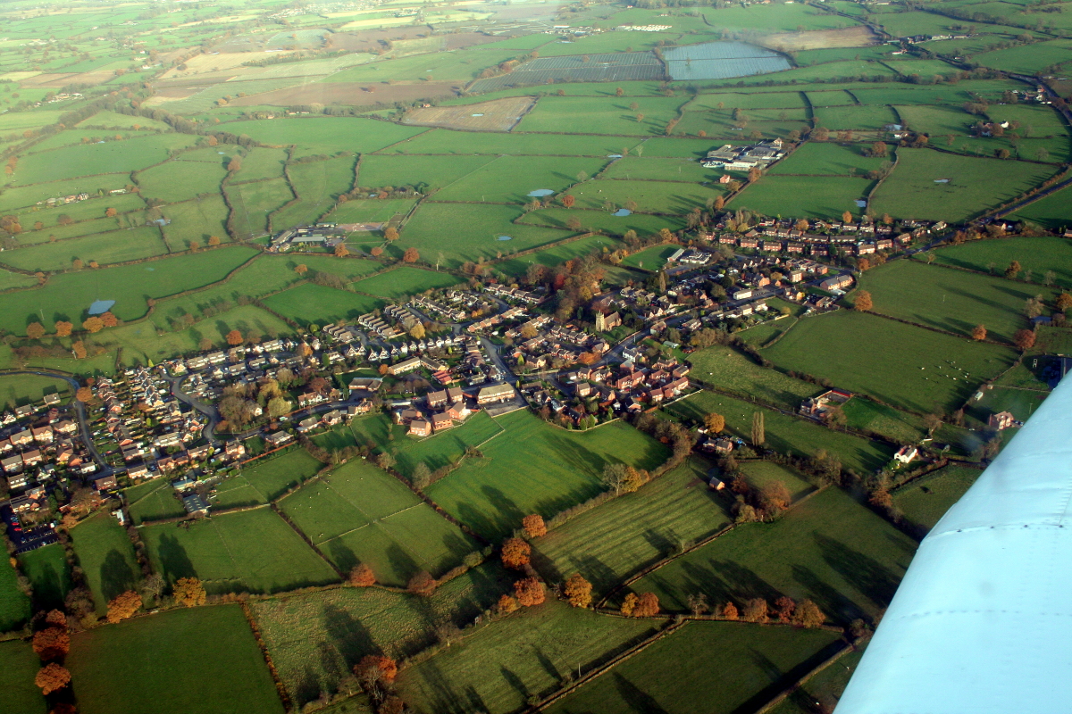
Allimore Green is a small village located in the county of Staffordshire, England. Situated approximately 6 miles east of the town of Stafford, it falls under the jurisdiction of the Staffordshire Moorlands District Council. The village is nestled amidst picturesque countryside, offering residents and visitors a tranquil and scenic environment.

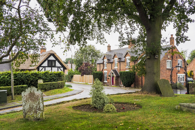
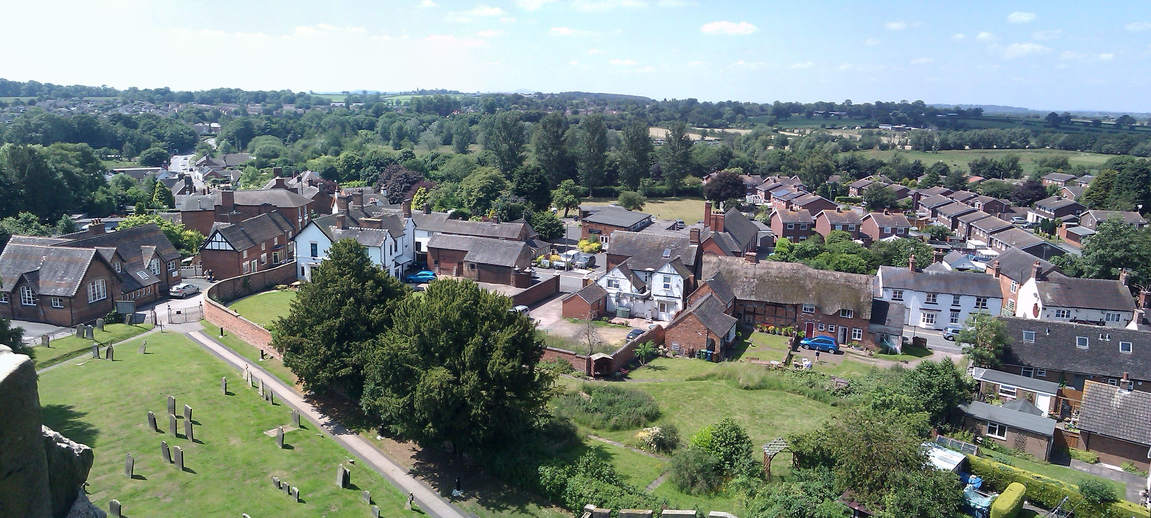
Allimore Green is primarily a residential area, with a population of around 200 people. The village is characterized by its charming, traditional stone cottages, which are interspersed with more modern housing developments. The community benefits from a close-knit atmosphere and a strong sense of local pride.

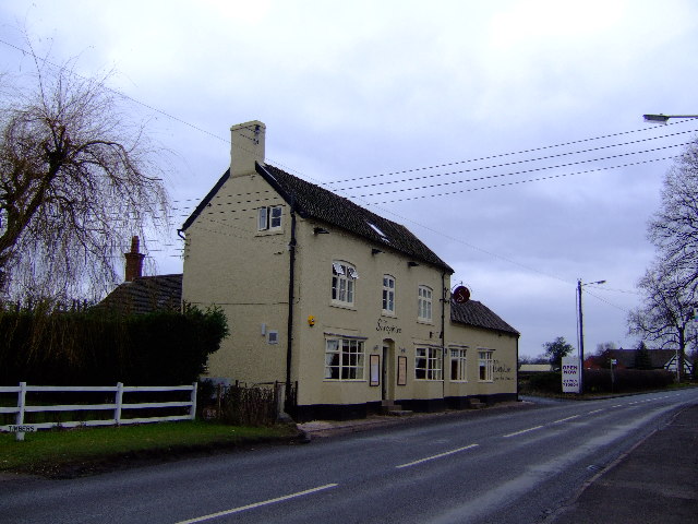
Despite its small size, Allimore Green boasts several amenities for its residents. These include a village hall, which serves as a hub for social activities and community events. The village also has a local pub, providing a gathering place for residents to relax and socialize.

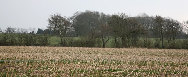
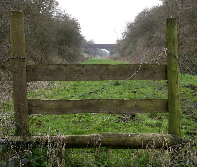
Surrounded by rolling fields and farmland, Allimore Green offers ample opportunities for outdoor activities. The village is located near the Cannock Chase Area of Outstanding Natural Beauty, which is renowned for its scenic walking and cycling trails. This makes Allimore Green an ideal location for nature enthusiasts and those seeking a peaceful retreat.

Although Allimore Green may be small, it benefits from its close proximity to larger towns and cities. The nearby town of Stafford offers a wider range of amenities, including shopping centers, schools, and healthcare facilities. Additionally, the village benefits from good transport links, with easy access to major road networks and public transportation services.

Overall, Allimore Green is a charming and idyllic village that offers a peaceful and picturesque setting for its residents, while also providing convenient access to nearby amenities and attractions.

If you have any feedback on the listing, please let us know in the comments section below.

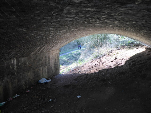
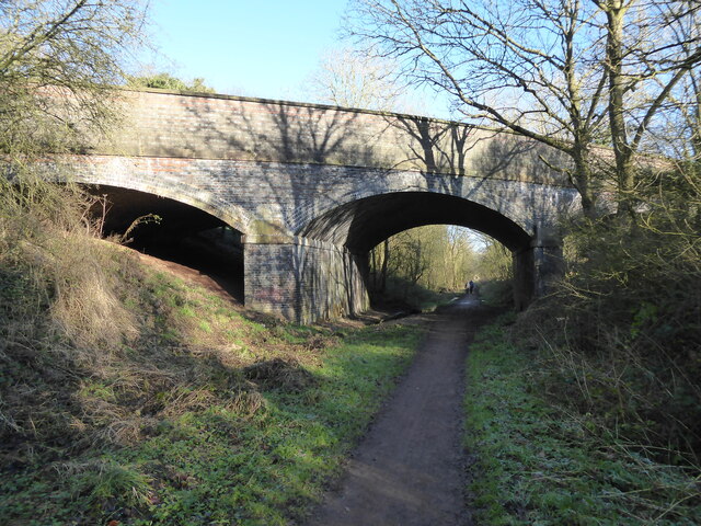
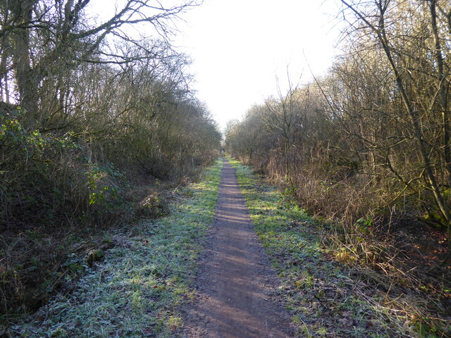
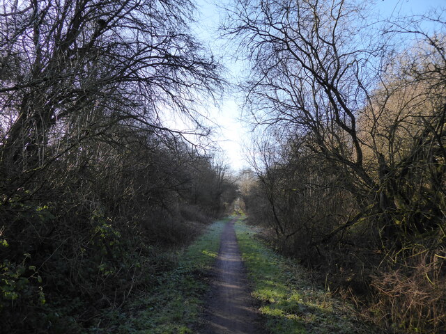
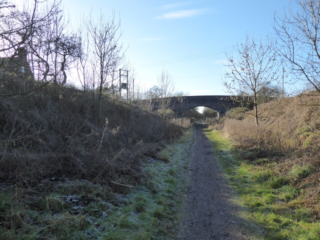
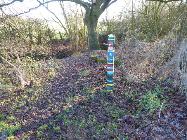
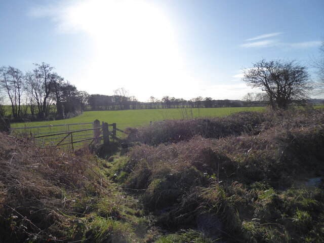
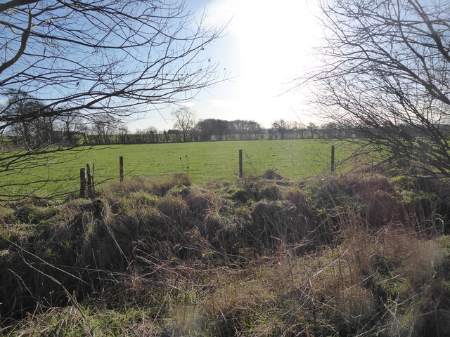
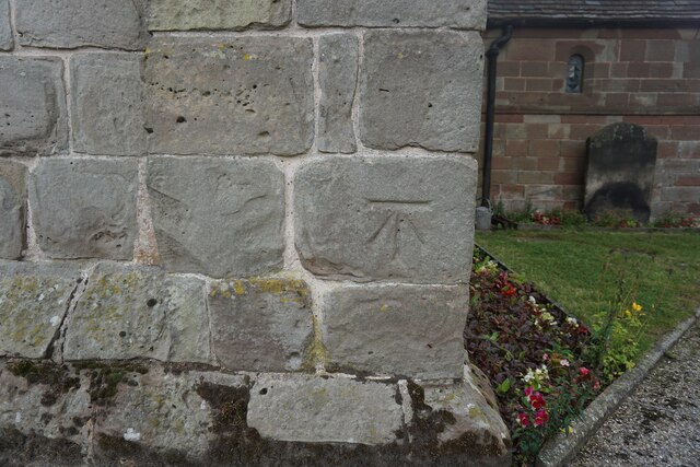
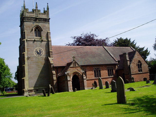
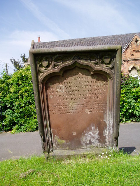
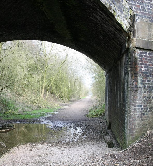
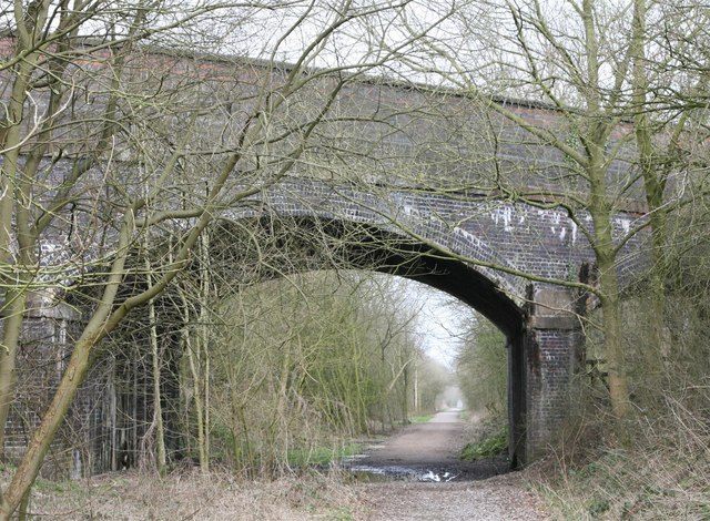
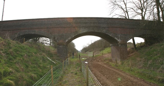
Allimore Green Images

Images are sourced within 2km of 52.770172/-2.217112 or Grid Reference SJ8519. Thanks to Geograph Open Source API. All images are credited.

Walkers on the Way for the Millennium at Gnosall This retired couple were out enjoying a walk together. How nice to see.
Walkers on the Way for the Millennium at Gnosall
This retired couple were out enjoying a walk together. How nice to see.
Road bridge over the old railway line near Gnosall The old track bed now carries a popular local walking and cycling path, the Way for the Millennium, and walkers seem to enjoy using it. I saw several couples out today. Great to see.
Road bridge over the old railway line near Gnosall
The old track bed now carries a popular local walking and cycling path, the Way for the Millennium, and walkers seem to enjoy using it. I saw several couples out today. Great to see.
Footpath and cyclepath on the Way for the Millennium near Gnosall Great walking. Lots of nature, lots of sunshine. I feel good because I am on the final leg of my walk and I know navigational challenges are low to non-existent, fellow walkers are about, buzzards call, crows mob them and I can imagine this as a rail line. I can also look forward to a pub lunch, a half of beer and a chat maybe. But there are still interesting things to see and virgin turf to tread. All my needs seem to be met. Optimum happiness state attained.
Footpath and cyclepath on the Way for the Millennium near Gnosall
Great walking. Lots of nature, lots of sunshine. I feel good because I am on the final leg of my walk and I know navigational challenges are low to non-existent, fellow walkers are about, buzzards call, crows mob them and I can imagine this as a rail line. I can also look forward to a pub lunch, a half of beer and a chat maybe. But there are still interesting things to see and virgin turf to tread. All my needs seem to be met. Optimum happiness state attained.
Walking the Way of the Millennium near Gnosall Nice tunnel effect in the trees here. 

There is in fact a road bridge ahead too.
Walking the Way of the Millennium near Gnosall
Nice tunnel effect in the trees here. There is in fact a road bridge ahead too.
On the Way of the Millennium near Gnosall Nice bridge.
On the Way of the Millennium near Gnosall
Nice bridge.
A thing A colourful thing, with a list of rules on it, I think. Nice.
A thing
A colourful thing, with a list of rules on it, I think. Nice.
Meadow with large flock of winter migrant birds on it The field is hopping with winter visitors. Redwing or Fieldfare I guess. Starlings possibly.
Meadow with large flock of winter migrant birds on it
The field is hopping with winter visitors. Redwing or Fieldfare I guess. Starlings possibly.
Meadow with a large flock of birds near Gnosall Redwing I think. They space out evenly and hop about, glance at me, feed, hop a bit more. Nice.
Meadow with a large flock of birds near Gnosall
Redwing I think. They space out evenly and hop about, glance at me, feed, hop a bit more. Nice.
Church of St Edith Benchmark The OS Cut Benchmark within the tower of the Church of St Edith, Church Eaton, Staffordshire. It was last levelled by the OS in 1961. What3Words = responded.sprinkle.tidy
Church of St Edith Benchmark
The OS Cut Benchmark within the tower of the Church of St Edith, Church Eaton, Staffordshire. It was last levelled by the OS in 1961. What3Words = responded.sprinkle.tidy
Road bend in Church Eaton A bend on the High Street of the small village of Church Eaton. The view is from the graveyard of St. Editha's Church.
Road bend in Church Eaton
A bend on the High Street of the small village of Church Eaton. The view is from the graveyard of St. Editha's Church.
The Shropshire - pub on main A518 Haughton
St Giles', Haughton The church is built of brick and the tower of stone.
St Giles', Haughton
The church is built of brick and the tower of stone.
Prepare to meet thy doom! This red sandstone gravestone in Haughton churchyard has the following verse-
"The grave has eloquence its lectures teach
In silence louder than devines can preach
Hear what it says ye sons of folly hear
It speaks to you lend an attentive ear
Prepare! prepare! prepare! to die"
Prepare to meet thy doom!
This red sandstone gravestone in Haughton churchyard has the following verse- "The grave has eloquence its lectures teach In silence louder than devines can preach Hear what it says ye sons of folly hear It speaks to you lend an attentive ear Prepare! prepare! prepare! to die"
Bridge Over Former Railway Track This photograph was taken on the Millennium Way not far from Haughton.
Bridge Over Former Railway Track
This photograph was taken on the Millennium Way not far from Haughton.
Road Bridge A view of the millennium way heading towards Shut Heath.
Road Bridge
A view of the millennium way heading towards Shut Heath.
Bridge over the Millennium Way A three arched bridge spanning across the former railway track.
Bridge over the Millennium Way
A three arched bridge spanning across the former railway track.
Field of Stubble on land adjacent to Millennium Way Not sure what was in this field. I think it might have been sunflowers.
Field of Stubble on land adjacent to Millennium Way
Not sure what was in this field. I think it might have been sunflowers.
A distant Bridge
A distant Bridge
Show me another place!

Allimore Green is located at Grid Ref: SJ8519 (Lat: 52.770172, Lng: -2.217112)

Administrative County: Staffordshire

District: Stafford

Police Authority: Staffordshire

What 3 Words

///obliging.sublet.gross. Near Gnosall, Staffordshire

Related Wikis

Apeton

Apeton is a hamlet in Staffordshire in the West Midlands region of England. It is located 5+1⁄2 miles (8.9 km) southwest of Stafford, in the civil parish...

Allimore Green

Allimore Green is a small hamlet in Staffordshire, England, 1 mile north-east of Church Eaton. It is the location of a Site of Special Scientific Interest...

Church Eaton

Church Eaton is a village and civil parish in Staffordshire some 6 miles (10 km) southwest of Stafford, 6 miles (10 km) northwest of Penkridge and 4 miles...

Brazenhill

Brazenhill is rural area immediately north of the village of Haughton in Staffordshire, England. It is effectively defined by Brazenhill Lane which is...

Haughton, Staffordshire

Haughton is a village in Staffordshire, England, approximately 4 miles outside and to the west of the county town of Stafford. It lies on the A518 between...

Haughton railway station

Haughton railway station was a station in Haughton, Staffordshire, England. The station was opened on 1 June 1849 and closed in May 1949. == References... ==

Bradley, Staffordshire

Bradley is a village and civil parish in Staffordshire, England. The population of the civil parish at the 2011 census was 513. It is located close to...

Gnosall

Gnosall () is a village and civil parish in the Borough of Stafford, Staffordshire, England, with a population of 4,736 across 2,048 households (2011 census...

Nearby Amenities

Located within 500m of 52.770172,-2.217112
Bus Stop
Silkmore Cottage
Bus: yes
Naptan AtcoCode: 3800C700100
Naptan Bearing: S
Naptan CommonName: Silkmore Cottage
Naptan Indicator: Adj
Naptan Landmark: Silkmore Cottage
Naptan Street: Main Rd
Naptan Verified: no
Public Transport: platform
Source: naptan_import
Lat/Long: 52.7678826/-2.218735
Bus Stop
Silkmore Cottage
Bus: yes
Naptan AtcoCode: 3800C700101
Naptan Bearing: N
Naptan BusStopType: CUS
Naptan CommonName: Silkmore Cottage
Naptan Indicator: Opp
Naptan Landmark: Silkmore Cottage
Naptan Street: Main Rd
Naptan Verified: no
Public Transport: platform
Source: naptan_import
Lat/Long: 52.7681252/-2.2188103
Post Box
Ref: ST18 368
Lat/Long: 52.7694948/-2.2178337
The data included in this document is from www.openstreetmap.org. The data is made available under ODbL.

Have you been to Allimore Green?

Leave your review of Allimore Green below (or comments, questions and feedback).