Alligin Shuas

Settlement in Ross-shire

Scotland

Alligin Shuas

One of several small lochans which act as a useful aid to navigation
One of several small lochans which act as a useful aid to navigation Credit: David Brown

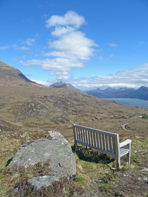
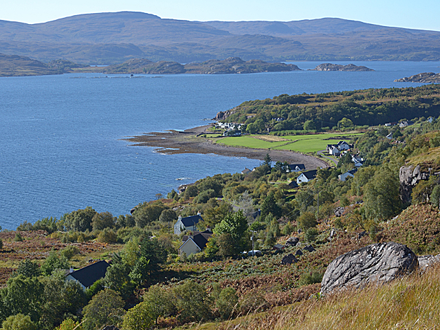
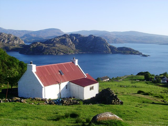
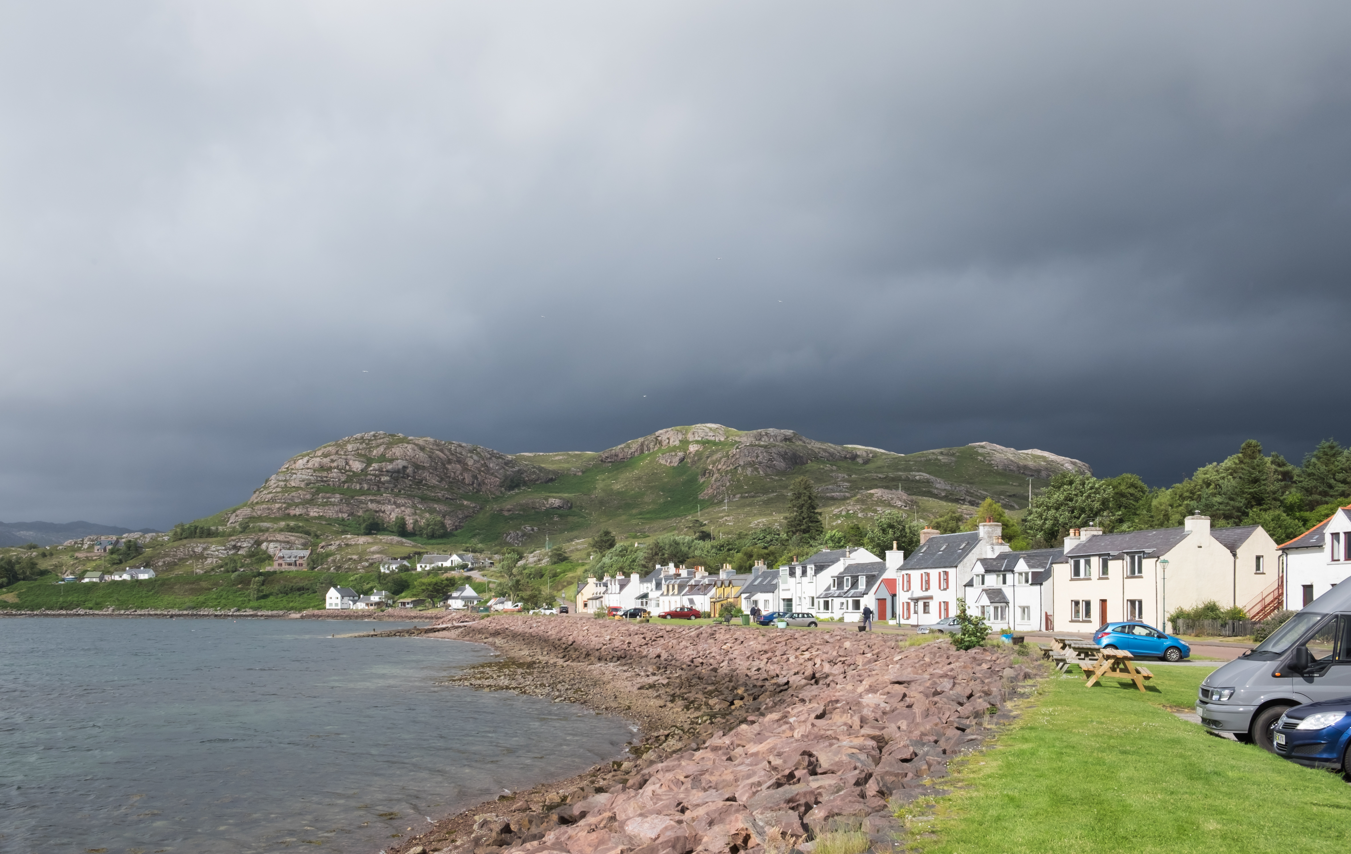
Alligin Shuas is a small village located in the county of Ross-shire, in the northern part of Scotland. Situated in the Highland region, the village sits on the southern edge of the Torridon mountain range, offering stunning panoramic views of the surrounding landscapes.

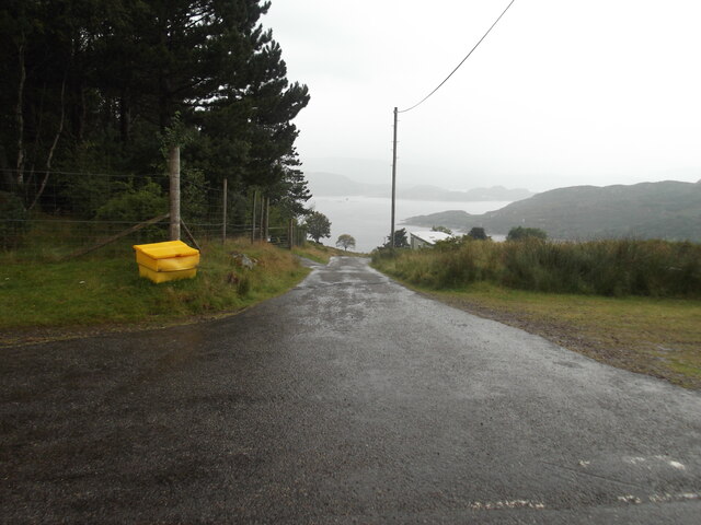
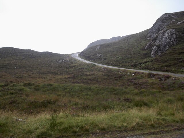
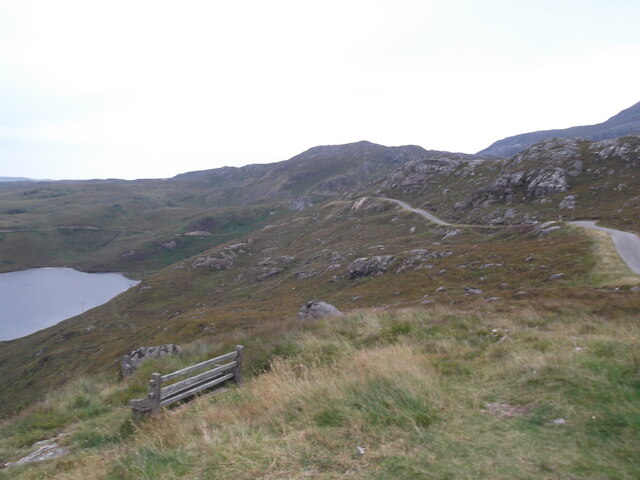
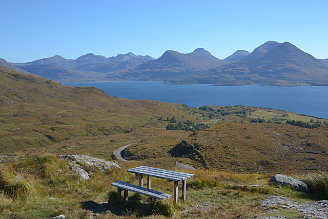
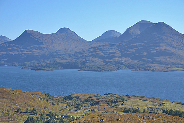
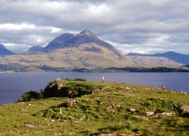
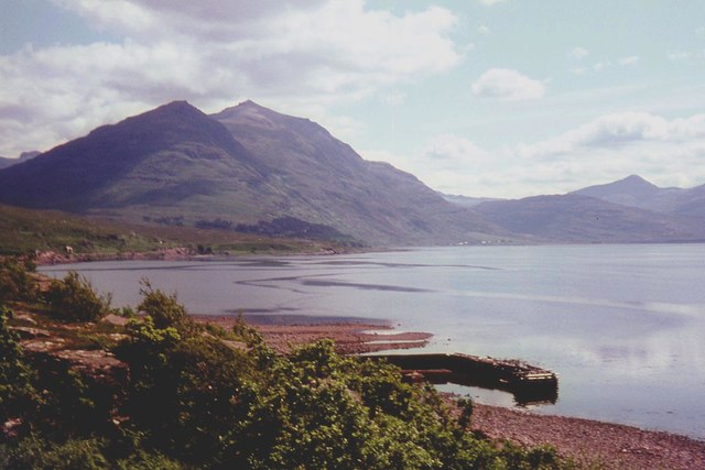
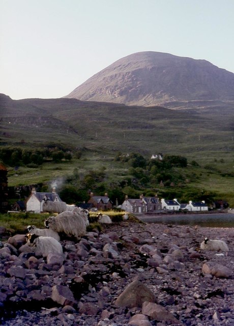
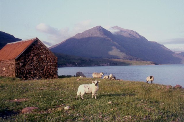
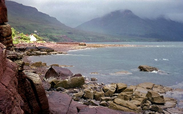
The village is known for its remote and picturesque setting, attracting outdoor enthusiasts and nature lovers alike. Alligin Shuas is surrounded by a diverse range of natural features, including rugged mountains, pristine lochs, and vast expanses of moorland. This makes it an ideal destination for hiking, climbing, fishing, and wildlife spotting.

The village itself consists of a handful of traditional stone houses, giving it a quaint and charming atmosphere. It is also home to a small community of residents who enjoy a quiet and peaceful lifestyle. While services and amenities are limited, the nearby town of Strathcarron provides essential facilities such as shops, schools, and healthcare.

Visitors to Alligin Shuas can explore the numerous hiking trails that wind through the Torridon mountains, offering breathtaking views of the surrounding peaks and valleys. The area is also home to a variety of wildlife, including red deer, golden eagles, and otters, making it a popular spot for nature photography and birdwatching.

In summary, Alligin Shuas is a picturesque village nestled in the beautiful Highland region of Scotland. With its stunning natural surroundings and tranquil atmosphere, it is a haven for outdoor enthusiasts and those seeking a peaceful retreat in the heart of nature.

If you have any feedback on the listing, please let us know in the comments section below.

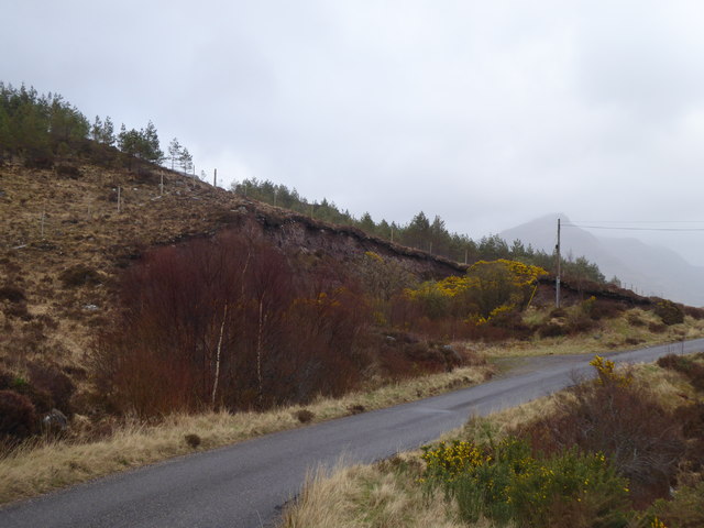
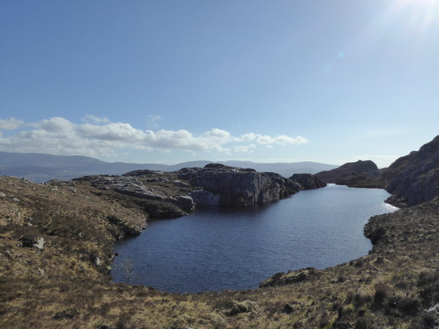
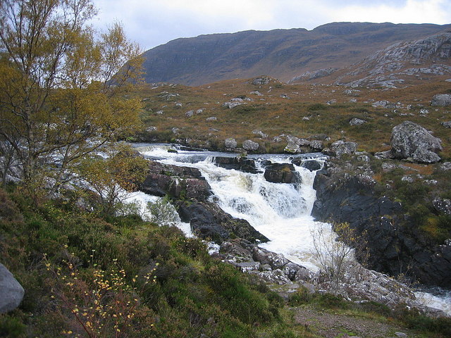
Alligin Shuas Images

Images are sourced within 2km of 57.560461/-5.626944 or Grid Reference NG8358. Thanks to Geograph Open Source API. All images are credited.

One of several small lochans which act as a useful aid to navigation
The road to Canapress
The road to Diabeg
The road to Diabeg
Looking north from the viewpoint
Sit A While Not a bad place to sit and eat lunch and ponder. Liathach appears to be making smoke signals while to the right is Upper Loch Torridon.
Sit A While
Not a bad place to sit and eat lunch and ponder. Liathach appears to be making smoke signals while to the right is Upper Loch Torridon.
View over Inveralligin A stunningly-situated village.
View over Inveralligin
A stunningly-situated village.
Torridon view, from the Bealach na Gaoithe viewpoint
View across Loch Torridon from the Bealach na Gaoithe viewpoint
Loch Torridon at Alligin
The pier at Inveralligin The west end of Liathach rises beyond the bay.
The pier at Inveralligin
The west end of Liathach rises beyond the bay.
Inveralligin below Ben Alligin
Shed on the shore, Inveralligin Mullach an Rathain beyond.
Shed on the shore, Inveralligin
Mullach an Rathain beyond.
Bealach na Gaoithe
Bealach na Gaoithe
Torridon shore near Inveralligin
Lochan on Bealach na Gaoithe
Bealach na Gaoithe
Bealach na Gaoithe
Roadside quarry above Rechullin
Loch na Bèiste
Loch na Bèiste
Show me another place!

Alligin Shuas is located at Grid Ref: NG8358 (Lat: 57.560461, Lng: -5.626944)

Unitary Authority: Highland

Police Authority: Highlands and Islands

What 3 Words

///provide.blown.implanted. Near Gairloch, Highland

Related Wikis

Inveralligin

Inveralligin (Scottish Gaelic: Inbhir Àiliginn) is a remote crofting township which lies on the north shore of Loch Torridon in Wester Ross and is in the...

Diabaig

Diabaig (Scottish Gaelic: Dìobaig) is a remote coastal fishing and crofting township in Wester Ross, in the Northwest Highlands of Scotland. Diabaig lies...

Falls of Balgy

Falls of Balgy is a waterfall near Torridon in Scotland. == See also == Waterfalls of Scotland == References ==

Shieldaig

Shieldaig (Scottish Gaelic: Sìldeag; Old Norse: síld-vík, lit. 'herring bay') is a village in Wester Ross in the Northwest Highlands, in the Scottish council...

Nearby Amenities

Located within 500m of 57.560461,-5.626944
Access Cattle: no
Barrier: cattle_grid
Source: survey
Lat/Long: 57.5607191/-5.6281177
Post Box
Ref: IV22 253
Source: survey
Lat/Long: 57.5603113/-5.6267484
Power: pole
Lat/Long: 57.5571898/-5.6275002
Power: pole
Lat/Long: 57.5577842/-5.6276423
Power: pole
Lat/Long: 57.55843/-5.6278134
Power: pole
Lat/Long: 57.5586151/-5.62785
Power: pole
Lat/Long: 57.5592391/-5.627973
Power: pole
Lat/Long: 57.5598709/-5.6281151
Power: pole
Lat/Long: 57.5605991/-5.628295
Power: pole
Lat/Long: 57.5614456/-5.6284908
Power: pole
Lat/Long: 57.5620038/-5.6286264
Power: pole
Lat/Long: 57.5625024/-5.6290325
Power: pole
Lat/Long: 57.5632135/-5.629604
Power: pole
Lat/Long: 57.563923/-5.6301696
Power: pole
Lat/Long: 57.5615222/-5.6279527
Power: pole
Lat/Long: 57.5578768/-5.6337557
Power: pole
Lat/Long: 57.5580449/-5.6324532
Power: pole
Lat/Long: 57.5582145/-5.6310652
Power: pole
Lat/Long: 57.5583195/-5.6302095
Power: pole
Lat/Long: 57.5583942/-5.6296482
Power: pole
Lat/Long: 57.5585381/-5.6284922
Power: pole
Lat/Long: 57.5616992/-5.6265813
Power: pole
Lat/Long: 57.5619279/-5.6249047
Power: pole
Lat/Long: 57.5566965/-5.622439
Power: pole
Lat/Long: 57.5571407/-5.6238184
Power: pole
Lat/Long: 57.5575733/-5.6251368
Power: pole
Lat/Long: 57.5580005/-5.6264523
The data included in this document is from www.openstreetmap.org. The data is made available under ODbL.

Have you been to Alligin Shuas?

Leave your review of Alligin Shuas below (or comments, questions and feedback).