Coed Carleg
Wood, Forest in Merionethshire
Wales
Coed Carleg
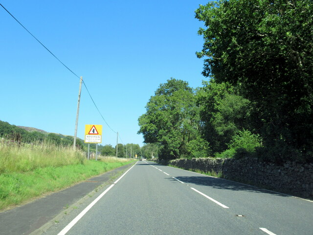
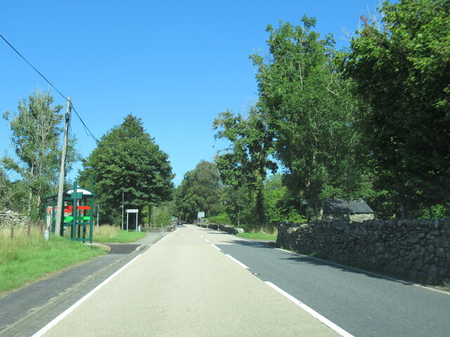
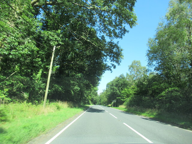
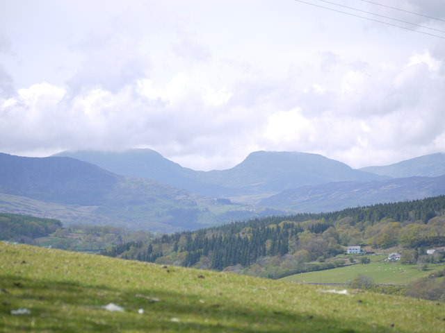
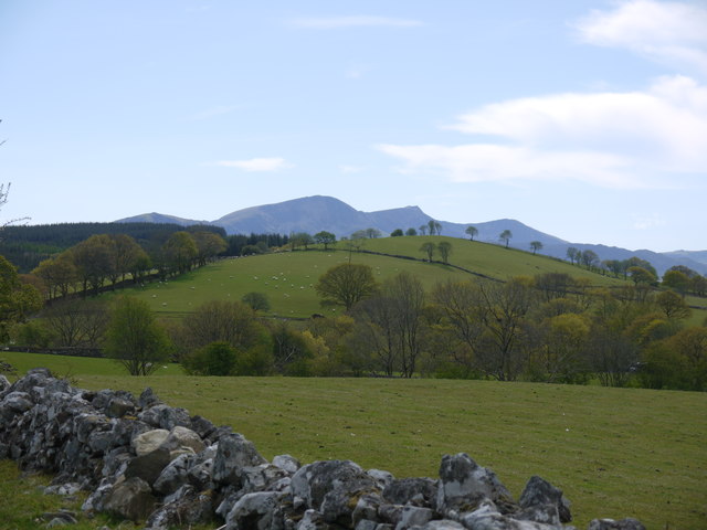
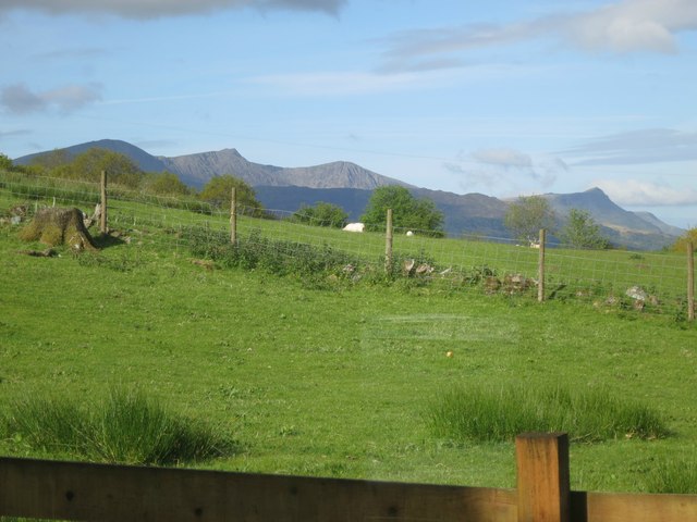
Coed Carleg, located in Merionethshire, is a stunning wood and forest area renowned for its natural beauty and diverse ecosystem. Spanning over a vast expanse, this woodland is a haven for nature enthusiasts and those seeking tranquility amidst the lush greenery.
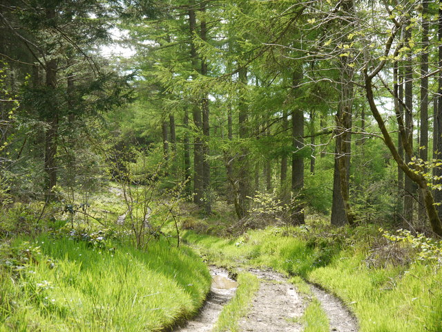
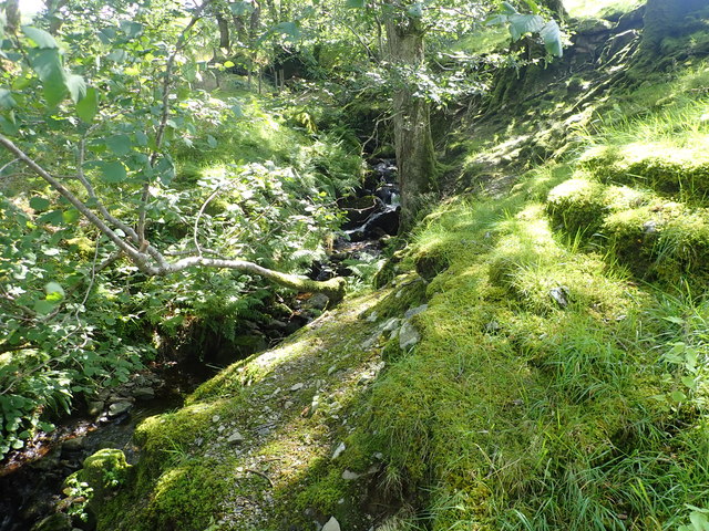
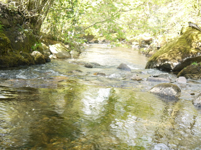
The forest is characterized by an array of tree species, including oak, birch, beech, and conifers, which contribute to the vibrant and ever-changing landscape throughout the seasons. The dense canopy overhead provides shade and shelter for a plethora of flora and fauna that call this woodland home.
Coed Carleg is particularly known for its rich biodiversity. The forest floor is carpeted with vibrant wildflowers, such as bluebells and primroses, adding a splash of color to the green surroundings. Numerous species of birds, such as red kites, buzzards, and woodpeckers, can be spotted here, making it a paradise for birdwatchers. Additionally, small mammals like rabbits, squirrels, and badgers can be seen scurrying about, adding to the enchanting atmosphere of the woodland.
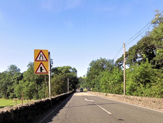
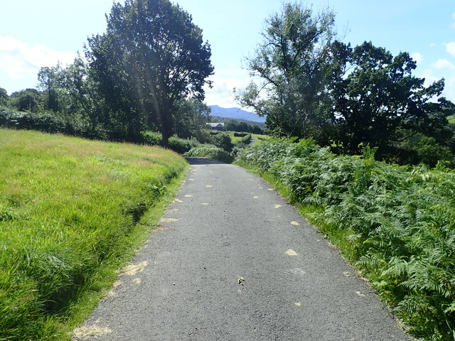
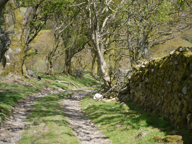
The forest also offers a variety of walking and hiking trails, allowing visitors to explore its natural splendor at their own pace. These trails wind through the woodland, offering breathtaking views of the surrounding countryside and the opportunity to immerse oneself in the peaceful ambiance.
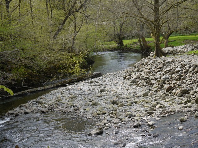
Coed Carleg is not only a sanctuary for wildlife and a picturesque retreat, but it also serves as an important carbon sink, contributing to the preservation of the environment. Its natural beauty and ecological significance make it a must-visit destination for nature lovers and those seeking solace in the embrace of nature.
If you have any feedback on the listing, please let us know in the comments section below.
Coed Carleg Images
Images are sourced within 2km of 52.770679/-3.7963409 or Grid Reference SH7820. Thanks to Geograph Open Source API. All images are credited.


Coed Carleg is located at Grid Ref: SH7820 (Lat: 52.770679, Lng: -3.7963409)
Unitary Authority: Gwynedd
Police Authority: North Wales
What 3 Words
///ghosts.upholds.leaned. Near Dolgellau, Gwynedd
Nearby Locations
Related Wikis

Brithdir and Llanfachreth
Brithdir and Llanfachreth is a community in the county of Gwynedd, Wales, near Dolgellau, and is 93.1 miles (149.8 km) from Cardiff and 178.4 miles (287...
Wnion Halt railway station
Wnion Halt (Pron: Oon-y'n) in Gwynedd, Wales, was on the Ruabon to Barmouth line. The station was situated in a narrow part of the Wnion Valley next to...
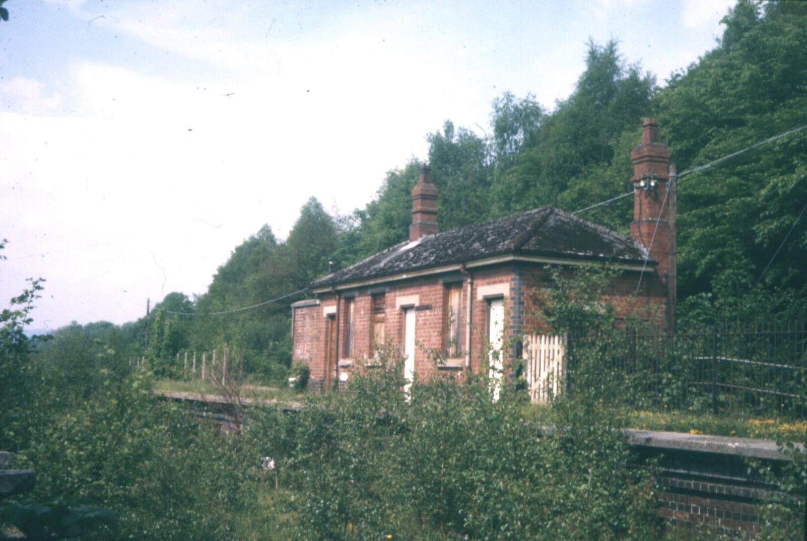
Bont Newydd railway station
Bont Newydd railway station (sometimes shown as Bontnewydd) in Gwynedd, Wales, was a station on the now-closed Ruabon to Barmouth line. Originally a single...

Brithdir, Gwynedd
Brithdir is a small hamlet on the outskirts of Dolgellau, Gwynedd in the community of Brithdir and Llanfachreth. The Arts and Crafts Movement St Mark's...

Meirionnydd
Meirionnydd is a coastal and mountainous region of Wales. It has been a kingdom, a cantref, a district and, as Merionethshire, a county. == Kingdom... ==

Allt y Benglog National Nature Reserve
Allt y Benglog is a small national nature reserve near Dolgellau in Wales.Its position on the lower slopes of Rhobell Fawr, one of north Wales’ extinct...
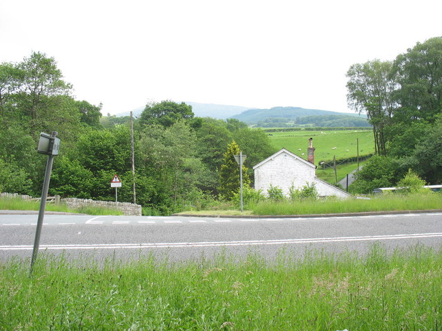
Drws-y-Nant
Drws-y-Nant is a village in Gwynedd, Wales. It was formerly served by the Drws-y-Nant railway station but this closed in 1965.
St Mark's Church, Brithdir
St Mark's Church, Brithdir, is a redundant church in the hamlet of Brithdir, Gwynedd, Wales. It is designated by Cadw as a Grade I listed building, and...
Nearby Amenities
Located within 500m of 52.770679,-3.7963409Have you been to Coed Carleg?
Leave your review of Coed Carleg below (or comments, questions and feedback).