Coed Maes-y-neuadd
Wood, Forest in Merionethshire
Wales
Coed Maes-y-neuadd
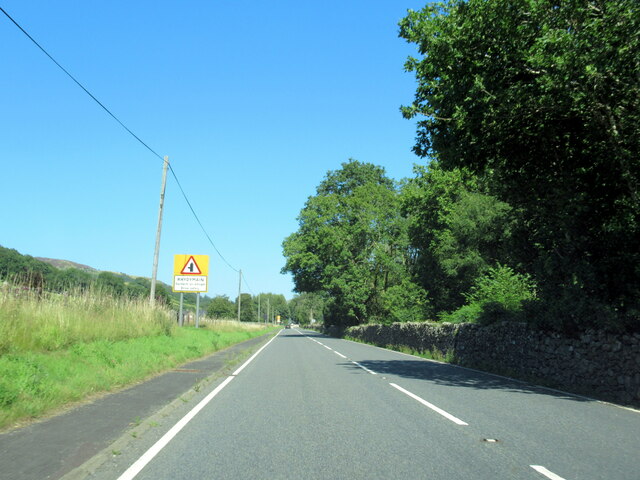
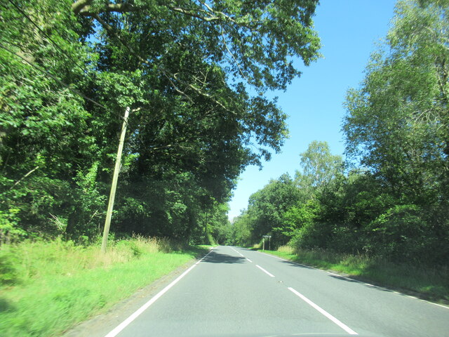
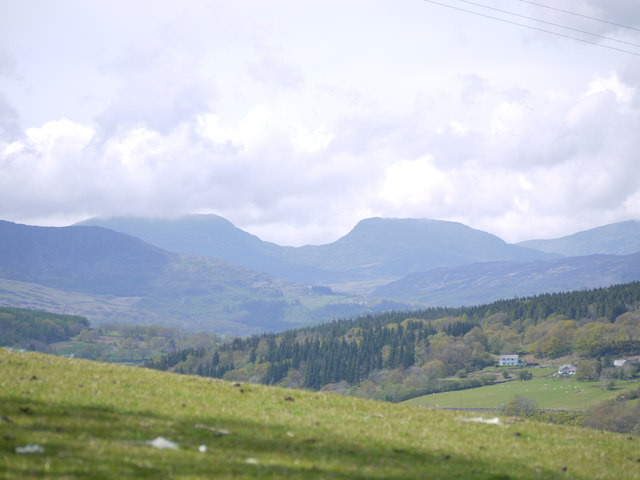
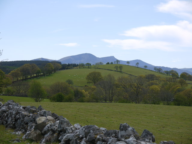
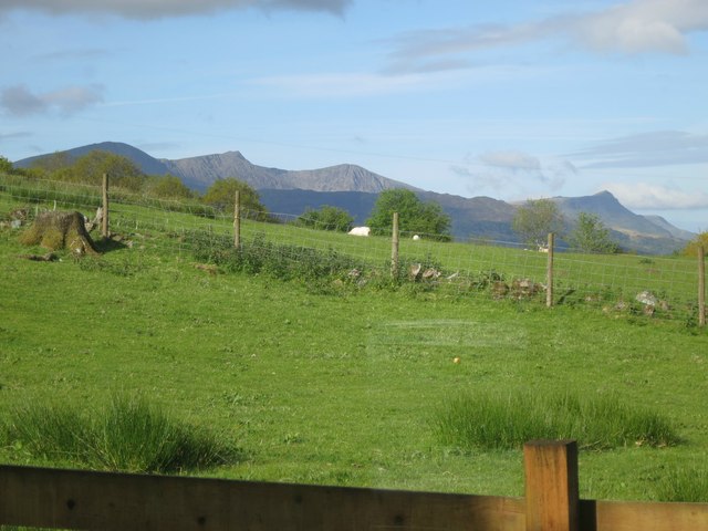
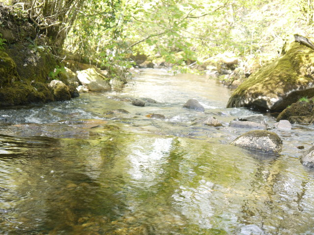
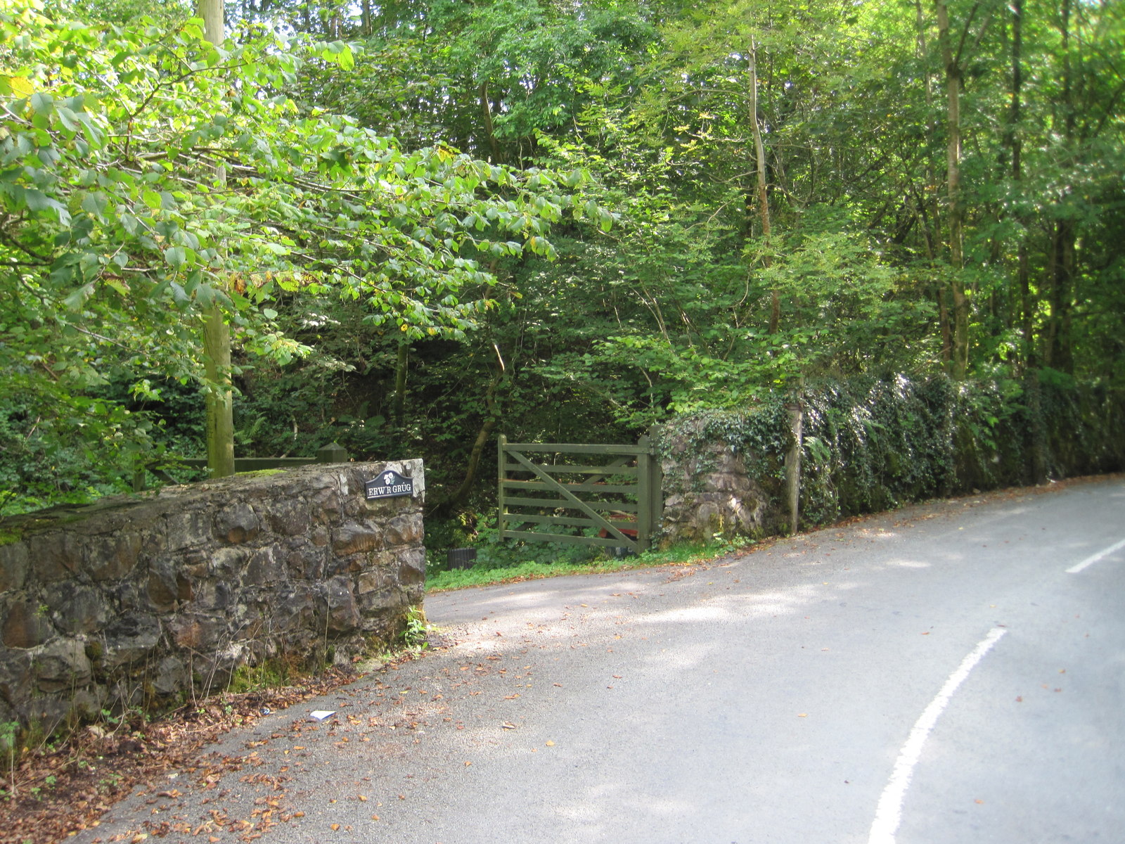
Coed Maes-y-neuadd, located in Merionethshire, is a picturesque wood or forest that exudes natural beauty and tranquility. Situated in the heart of the stunning Snowdonia National Park in Wales, it covers an area of approximately 500 acres. The woodland is known for its diverse range of plant and animal species, making it a haven for nature enthusiasts and wildlife lovers.
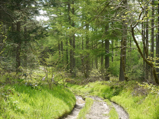
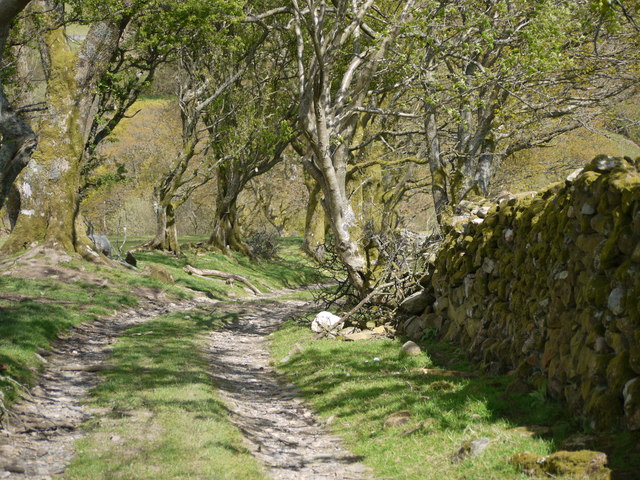
The wood is predominantly made up of native broadleaf species, including oak, ash, birch, and rowan trees. These majestic trees create a rich canopy that provides shade and shelter to a wide variety of flora and fauna. Bluebells, wood anemones, and wild garlic carpet the forest floor during spring, creating a vibrant and colorful display.
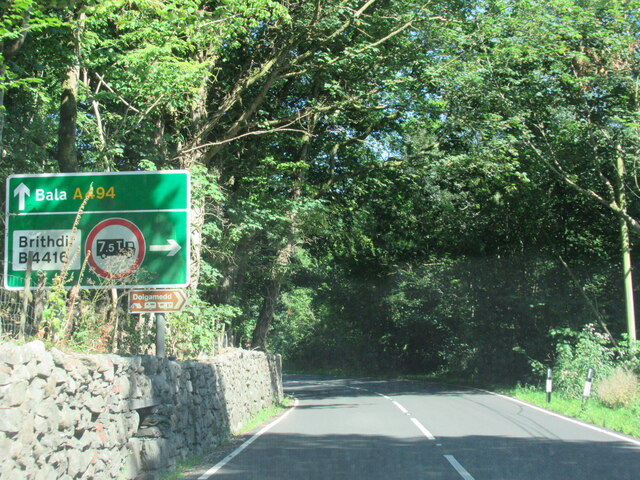
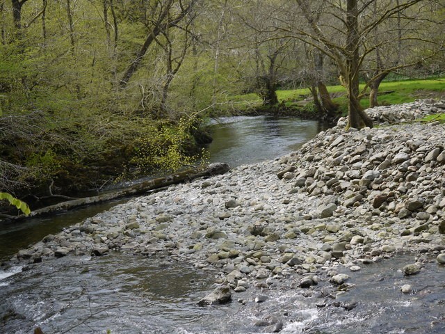
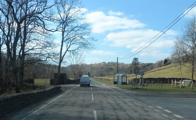
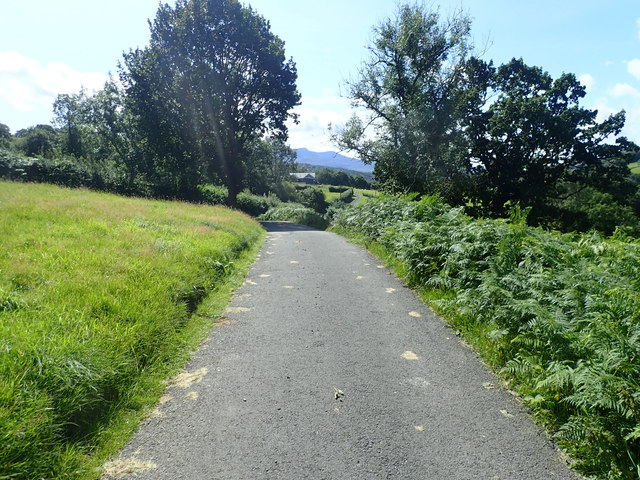
Visitors to Coed Maes-y-neuadd can explore a network of well-maintained footpaths and trails that wind their way through the forest. These paths offer breathtaking views of the surrounding mountains, valleys, and rivers, making it a popular destination for hikers, walkers, and photographers.
The woodland is also home to a diverse range of wildlife. Red squirrels, badgers, and foxes can be spotted among the trees, while birds such as woodpeckers, owls, and buzzards soar above. The wood is also known for its population of rare and elusive pine martens, which adds to its appeal as a wildlife haven.
Coed Maes-y-neuadd is managed by the Snowdonia National Park Authority, which ensures the conservation and protection of the woodland. Visitors are encouraged to respect the natural environment and adhere to the designated trails to minimize disturbance to the wildlife and preserve the beauty of this enchanting forest.
If you have any feedback on the listing, please let us know in the comments section below.
Coed Maes-y-neuadd Images
Images are sourced within 2km of 52.772581/-3.8024973 or Grid Reference SH7820. Thanks to Geograph Open Source API. All images are credited.


Coed Maes-y-neuadd is located at Grid Ref: SH7820 (Lat: 52.772581, Lng: -3.8024973)
Unitary Authority: Gwynedd
Police Authority: North Wales
What 3 Words
///clubbing.removed.puns. Near Dolgellau, Gwynedd
Nearby Locations
Related Wikis

Brithdir and Llanfachreth
Brithdir and Llanfachreth is a community in the county of Gwynedd, Wales, near Dolgellau, and is 93.1 miles (149.8 km) from Cardiff and 178.4 miles (287...
Wnion Halt railway station
Wnion Halt (Pron: Oon-y'n) in Gwynedd, Wales, was on the Ruabon to Barmouth line. The station was situated in a narrow part of the Wnion Valley next to...
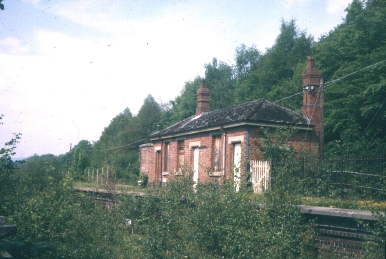
Bont Newydd railway station
Bont Newydd railway station (sometimes shown as Bontnewydd) in Gwynedd, Wales, was a station on the now-closed Ruabon to Barmouth line. Originally a single...

Brithdir, Gwynedd
Brithdir is a small hamlet on the outskirts of Dolgellau, Gwynedd in the community of Brithdir and Llanfachreth. The Arts and Crafts Movement St Mark's...
Nearby Amenities
Located within 500m of 52.772581,-3.8024973Have you been to Coed Maes-y-neuadd?
Leave your review of Coed Maes-y-neuadd below (or comments, questions and feedback).