Coed Bwlchyrhaearn
Wood, Forest in Caernarfonshire
Wales
Coed Bwlchyrhaearn
Coed Bwlchyrhaearn, located in Caernarfonshire, Wales, is a picturesque woodland area renowned for its natural beauty and rich history. Spread across approximately 200 acres, the woodland is a haven for nature enthusiasts and offers a tranquil escape from the bustling city life.
The forest is characterized by its diverse ecosystem, comprising a mix of broadleaf and coniferous trees, including oak, beech, ash, and pine. This variety of tree species provides a habitat for a wide range of wildlife, such as red squirrels, foxes, badgers, and a myriad of bird species. Walking through the woods, visitors can often catch glimpses of these animals in their natural habitat.
Coed Bwlchyrhaearn is also steeped in history and folklore. It is believed that the woodland has been present since the end of the last Ice Age, with traces of ancient settlements found within its boundaries. The area is also associated with Welsh mythology and legends, adding to its mystical allure.
For outdoor enthusiasts, the woodland offers a network of well-maintained trails that allow visitors to explore its scenic beauty. From leisurely strolls to more challenging hikes, there is a trail suitable for every level of fitness. The woods are particularly enchanting during the spring and summer months when the forest floor is carpeted with colorful wildflowers.
Coed Bwlchyrhaearn is a popular destination for nature lovers, history buffs, and those seeking a peaceful retreat. With its stunning natural landscapes, diverse wildlife, and rich cultural heritage, it offers a truly immersive experience for all who visit.
If you have any feedback on the listing, please let us know in the comments section below.
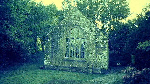
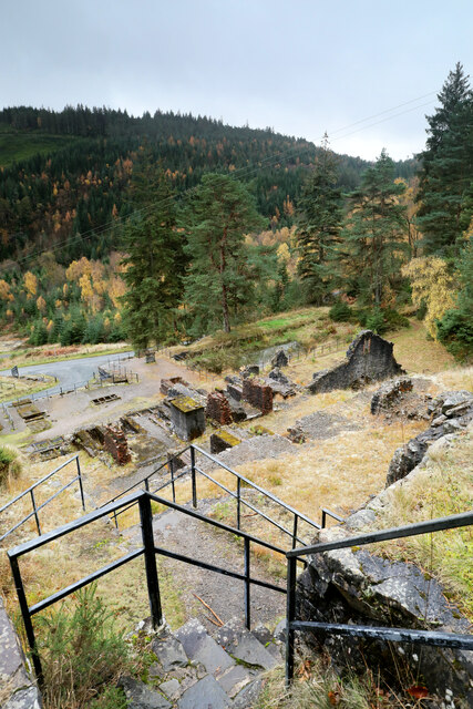
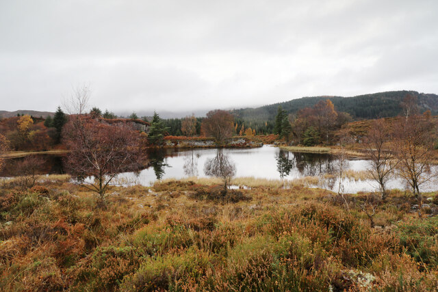
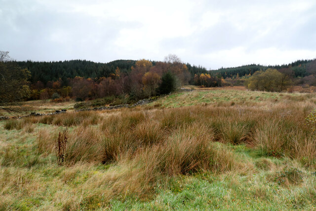
Coed Bwlchyrhaearn Images
Images are sourced within 2km of 53.121425/-3.8269263 or Grid Reference SH7759. Thanks to Geograph Open Source API. All images are credited.


Coed Bwlchyrhaearn is located at Grid Ref: SH7759 (Lat: 53.121425, Lng: -3.8269263)
Unitary Authority: Conwy
Police Authority: North Wales
What 3 Words
///solder.dolphins.mush. Near Llanrwst, Conwy
Nearby Locations
Related Wikis
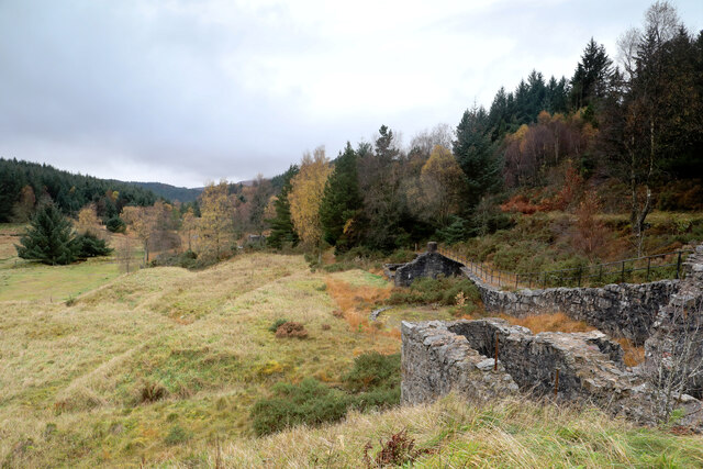
Gwydir Forest
Gwydir Forest, also spelled Gwydyr, is located in Conwy county borough and the Snowdonia National Park in Wales. It takes its name from the ancient Gwydir...
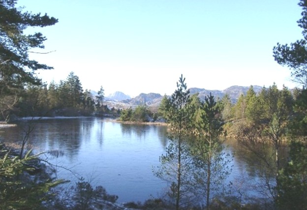
Llyn Glangors
Llyn Glangors is a lake in the Gwydir Forest in north Wales. It lies at a height of 900 ft (270 m) and covers an area of 15 acres (61,000 m2). An artificial...

Llyn Parc
Llyn Parc (also known as "Llyn y Parc") is a lake in the Gwydir Forest in North Wales. Lying at a height of 664 feet, it covers an area of 22 acres (89...
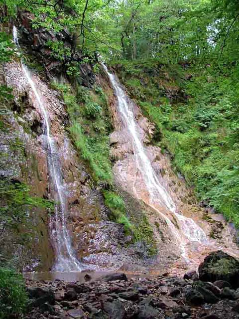
Grey Mare's Tail, Conwy
The Grey Mare's Tail (Welsh: Rhaeadr y Parc Mawr) is a waterfall on the very edge of the Snowdonia National Park near Gwydir Castle in the county of Conwy...

Llyn Bodgynydd
Llyn Bodgynydd is a lake in the Gwydir Forest in North Wales. It covers an area of some 14 acres (57,000 m2), and lies at a height of 822 feet (251 m)...

River Geirionydd
The River Geirionydd (Afon Geirionydd in Welsh) is a river in Snowdonia, North Wales. It is a tributary of the River Crafnant (Afon Crafnant), which flows...

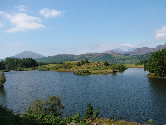
Llyn Geirionydd
Llyn Geirionydd lies in a valley in North Wales where the northern edge of the Gwydyr Forest meets the lower slopes of the Carneddau mountains. The lake...
Llanrhychwyn
Llanrhychwyn is a hamlet in Conwy county borough, Wales. It lies in the Conwy valley, less than a mile south of Trefriw, and a mile north-west of Llanrwst...
Nearby Amenities
Located within 500m of 53.121425,-3.8269263Have you been to Coed Bwlchyrhaearn?
Leave your review of Coed Bwlchyrhaearn below (or comments, questions and feedback).