Coed Cae-poeth
Wood, Forest in Montgomeryshire
Wales
Coed Cae-poeth

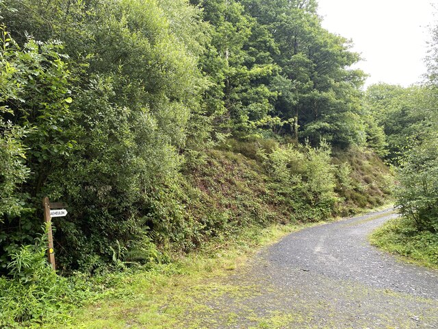
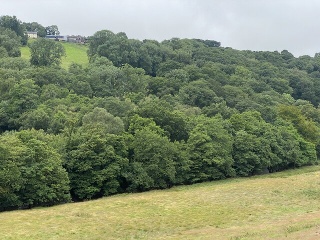
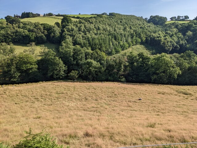
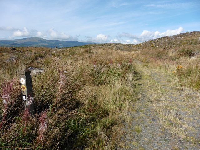
Coed Cae-poeth is a picturesque woodland located in Montgomeryshire, Wales. This natural gem covers an area of approximately 500 acres and is renowned for its stunning beauty and diverse wildlife. The name "Coed Cae-poeth" translates to "Wood, Forest" in English, which aptly describes the area's dense forestation.
The woodland is a haven for nature enthusiasts and outdoor lovers, offering a range of recreational activities. Visitors can explore the numerous walking trails that wind through the woodland, providing an opportunity to immerse oneself in the tranquility of nature. The trails vary in difficulty, catering to both novice hikers and experienced trekkers.
Coed Cae-poeth is home to an array of native flora and fauna. The forest is dominated by majestic oak, beech, and pine trees, creating a lush and verdant environment. Within the woodland, one can find a diverse range of plant species, including bluebells, foxgloves, and ferns.
The wildlife in Coed Cae-poeth is just as diverse. Birdwatchers will be delighted by the presence of various bird species such as woodpeckers, owls, and songbirds. Additionally, the forest is inhabited by mammals like badgers, foxes, and deer, which adds to the enchantment of the area.
Due to its natural beauty and ecological significance, Coed Cae-poeth has been designated as a Site of Special Scientific Interest (SSSI). This recognition ensures the preservation of the woodland's unique ecosystem for future generations to enjoy.
Visiting Coed Cae-poeth offers a chance to escape the hustle and bustle of daily life and reconnect with nature. The serene atmosphere, breathtaking scenery, and abundance of wildlife make it a must-visit destination for nature lovers and those seeking a peaceful retreat.
If you have any feedback on the listing, please let us know in the comments section below.
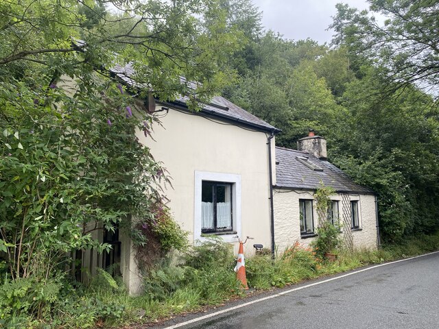
Coed Cae-poeth Images
Images are sourced within 2km of 52.568513/-3.80682 or Grid Reference SN7798. Thanks to Geograph Open Source API. All images are credited.


Coed Cae-poeth is located at Grid Ref: SN7798 (Lat: 52.568513, Lng: -3.80682)
Unitary Authority: Powys
Police Authority: Dyfed Powys
What 3 Words
///keener.wider.shackles. Near Machynlleth, Powys
Nearby Locations
Related Wikis
Forge, Powys
Forge (Welsh: "Y Bontfaen") is a village in the county of Powys, Wales near to Machynlleth. It lies on the southern Afon Dulas on the mountain road to...

Penegoes
Penegoes () is a village in Powys, Wales, between Cemmaes Road and Machynlleth, on the A489 road, and the primary settlement of the community of Cadfarch...

Aberhosan
Aberhosan () is a village in the Welsh principal area of Powys, located between the town of Machynlleth and village of Dylife. It is in the historic county...
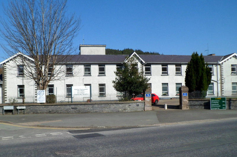
Bro Ddyfi Community Hospital
Bro Ddyfi Community Hospital (Welsh: Ysbyty Cymuned Bro Ddyfi) is a health facility in Heol Maengwyn, Machynlleth, Powys, Wales. It is managed by the Powys...
Nearby Amenities
Located within 500m of 52.568513,-3.80682Have you been to Coed Cae-poeth?
Leave your review of Coed Cae-poeth below (or comments, questions and feedback).