Burtersett
Settlement in Yorkshire Richmondshire
England
Burtersett
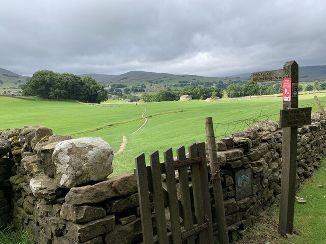
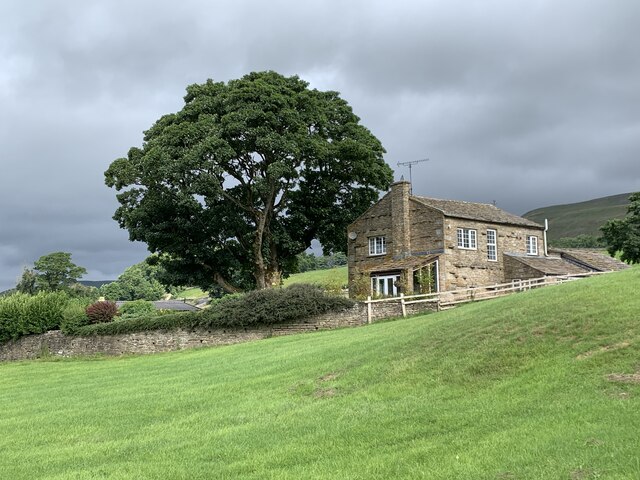
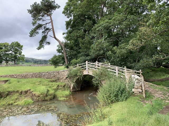
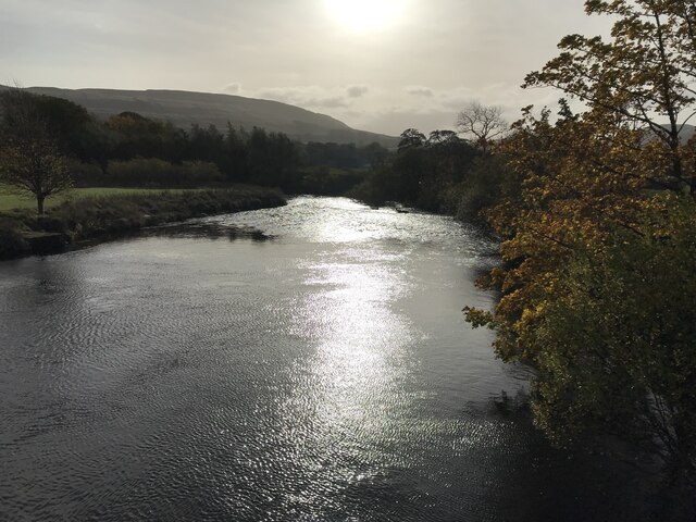
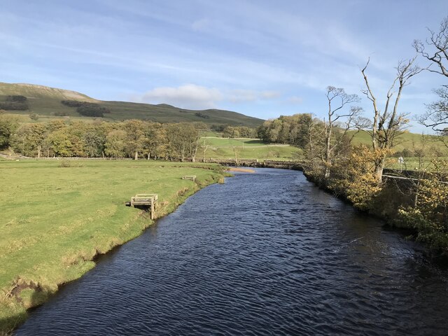
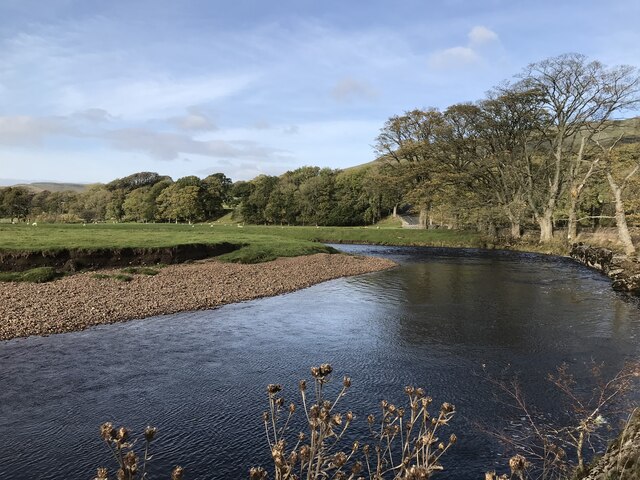
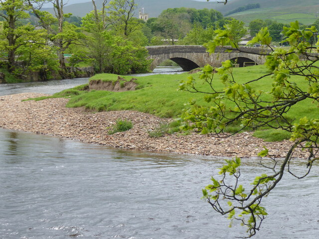
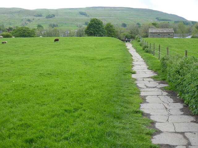
Burtersett is a small village located in the Yorkshire Dales National Park in North Yorkshire, England. Situated within the district of Richmondshire, it lies approximately 2 miles northwest of the market town of Hawes. The village is nestled in a picturesque valley surrounded by rolling hills and breathtaking landscapes, making it an ideal destination for nature lovers and outdoor enthusiasts.
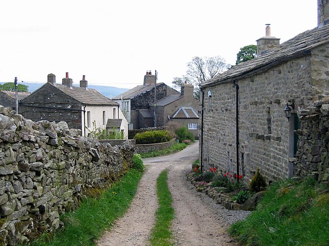
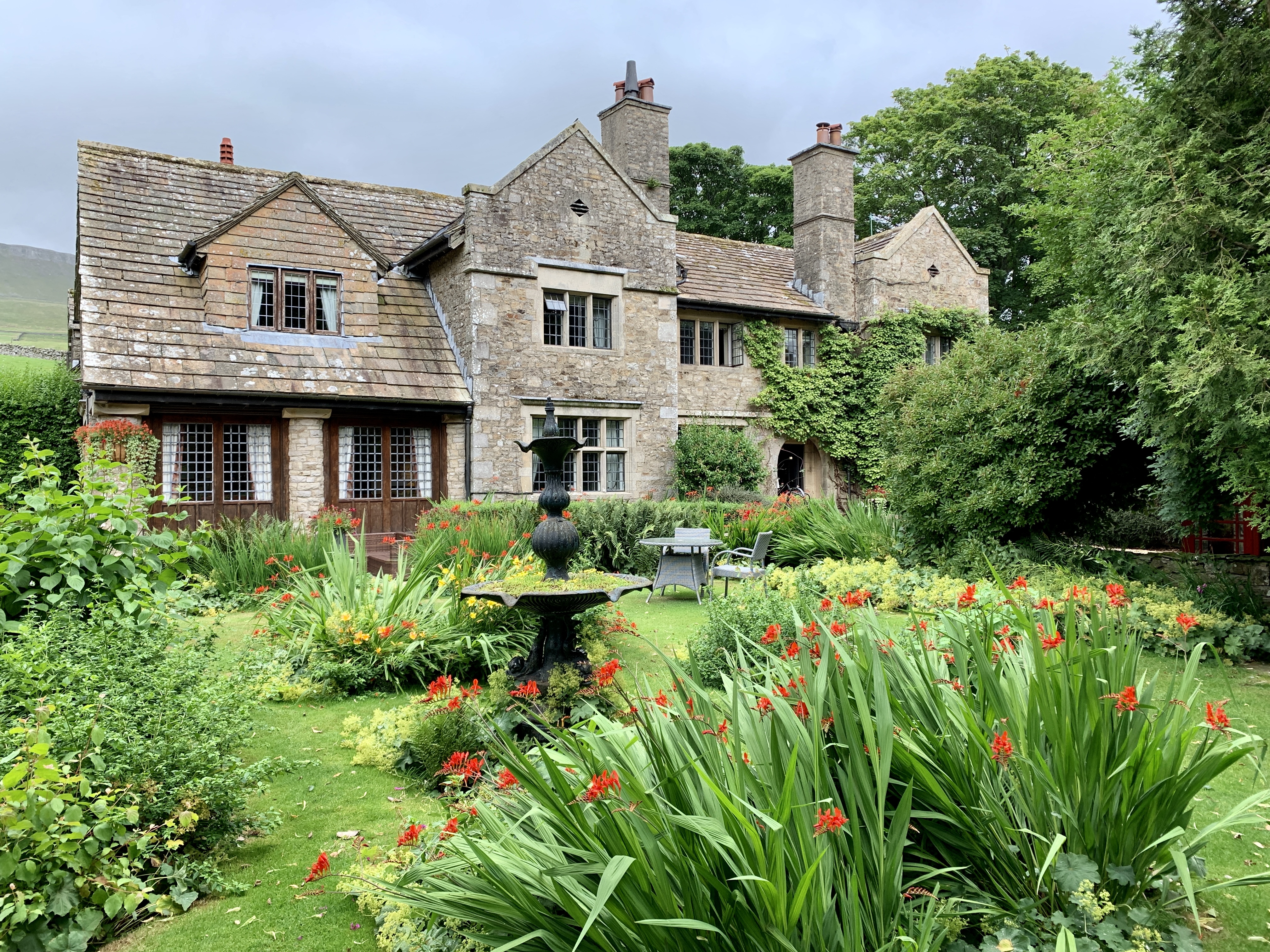
Burtersett has a rich history dating back to medieval times, with evidence of human settlement in the area from prehistoric times. The village retains much of its traditional charm, with a collection of quaint stone cottages and historic buildings dotting its landscape. The local church, St. Andrew's, is a notable architectural gem, dating back to the 12th century.
While Burtersett is primarily a residential community, it offers a range of amenities and services to its residents and visitors. The village has a small primary school, providing education to local children. Additionally, there are a few local businesses, including a village shop and a pub, where visitors can enjoy a warm meal and a pint of locally brewed ale.
One of the main attractions in Burtersett is its proximity to the famous Hardraw Force, England's highest unbroken waterfall. Just a short walk from the village, this natural wonder attracts visitors from far and wide. The area also offers numerous walking and hiking trails, allowing visitors to explore the stunning countryside and enjoy panoramic views of the dales.
Overall, Burtersett is a charming village in the heart of the Yorkshire Dales, offering tranquility, natural beauty, and a sense of history to those who visit.
If you have any feedback on the listing, please let us know in the comments section below.
Burtersett Images
Images are sourced within 2km of 54.299205/-2.167455 or Grid Reference SD8989. Thanks to Geograph Open Source API. All images are credited.


Burtersett is located at Grid Ref: SD8989 (Lat: 54.299205, Lng: -2.167455)
Division: North Riding
Administrative County: North Yorkshire
District: Richmondshire
Police Authority: North Yorkshire
What 3 Words
///incline.comfort.smuggled. Near Leyburn, North Yorkshire
Nearby Locations
Related Wikis
Burtersett
Burtersett is a small village in the Yorkshire Dales, North Yorkshire, England. It lies approximately 1 mile (1.6 km) east from Hawes and Gayle. The village...

Wensleydale
Wensleydale is a valley in North Yorkshire, England. It is one of the Yorkshire Dales, which are part of the Pennines. The dale is named after the village...
Dales Countryside Museum
The Dales Countryside Museum is a local museum for the Yorkshire Dales National Park in Northern England. Run by the National Park Authority, it tells...
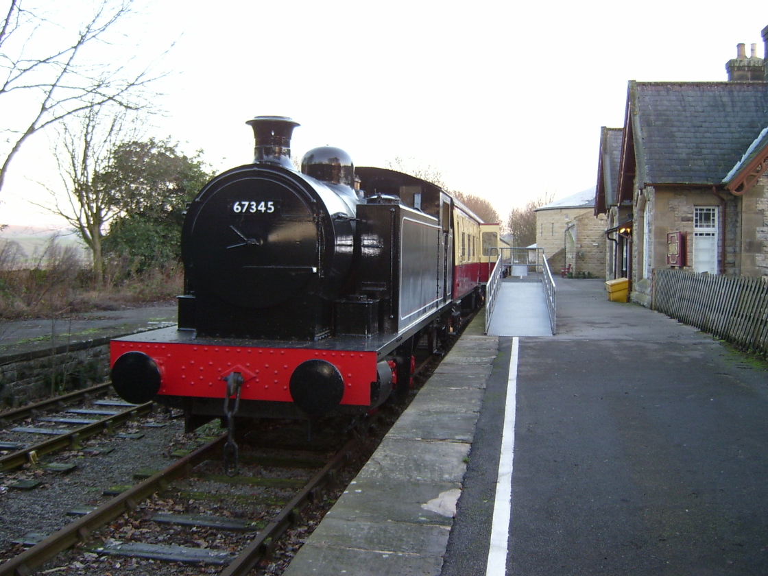
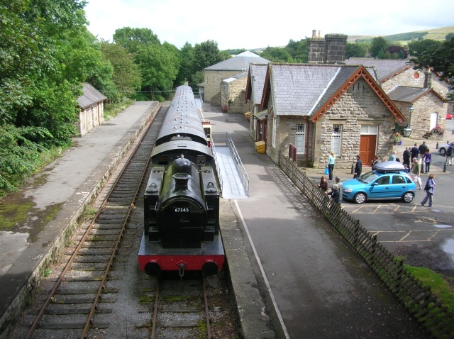
Hawes railway station
Hawes railway station is a disused railway station that served the town of Hawes in North Yorkshire, England. It was closed in 1959 and now forms part...

Hawes
Hawes is a market town and civil parish in North Yorkshire, England, at the head of Wensleydale in the Yorkshire Dales, and historically in the North Riding...

Sedbusk
Sedbusk is a hamlet near Hawes and Hardraw Force within the Yorkshire Dales in North Yorkshire, England. The hamlet is 1 mile (1.5 km) north of the town...

St Margaret's Church, Hawes
St Margaret's Church is a Grade II listed parish church in the Church of England: 184 in Hawes, North Yorkshire. == History == Also known as Church of...
Stone House, Hawes
Stone House is a Grade II listed building in the civil parish of High Abbotside, near Hawes, North Yorkshire, England. == History == Stone House was built...
Nearby Amenities
Located within 500m of 54.299205,-2.167455Have you been to Burtersett?
Leave your review of Burtersett below (or comments, questions and feedback).