Coed Bedw
Wood, Forest in Caernarfonshire
Wales
Coed Bedw

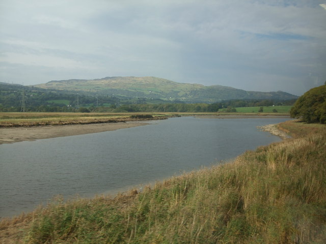
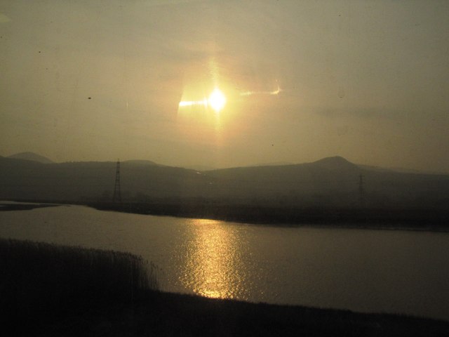
Coed Bedw, located in Caernarfonshire, Wales, is a picturesque woodland area known for its natural beauty and diverse flora and fauna. Spanning approximately 100 acres, the forest is situated near the village of Beddgelert, nestled within the Snowdonia National Park.
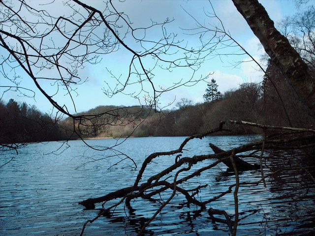
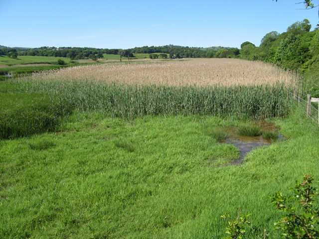
The woodland is predominantly composed of native broadleaf trees, such as oak, birch, and rowan, which create a dense canopy providing shelter for a variety of wildlife. The forest floor is adorned with a rich carpet of mosses, ferns, and wildflowers, adding to its enchanting atmosphere.
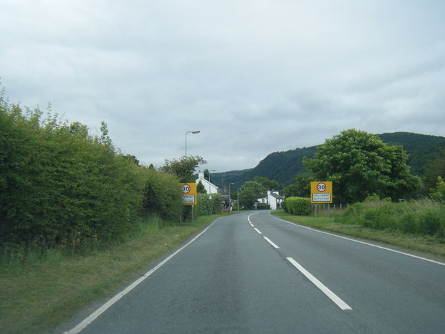
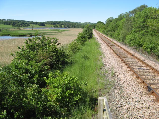
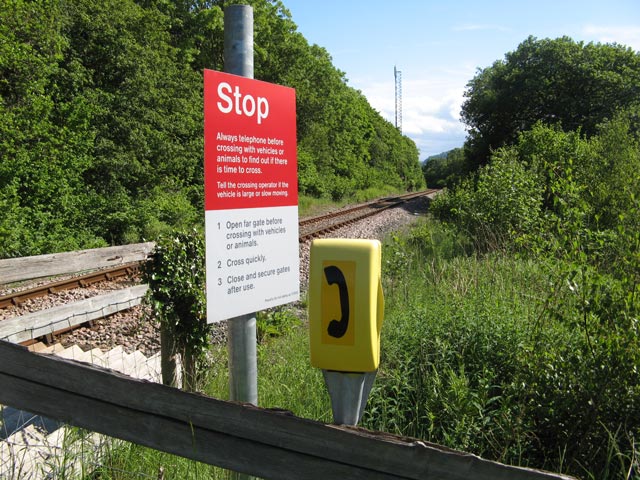
Coed Bedw is a popular destination for nature enthusiasts, hikers, and families seeking outdoor recreation. It offers a network of well-maintained footpaths and trails that wind through the forest, allowing visitors to explore its serene surroundings at their own pace. Along these paths, one may encounter an array of wildlife, including red squirrels, badgers, and a diverse range of bird species.
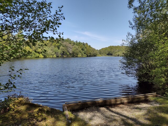
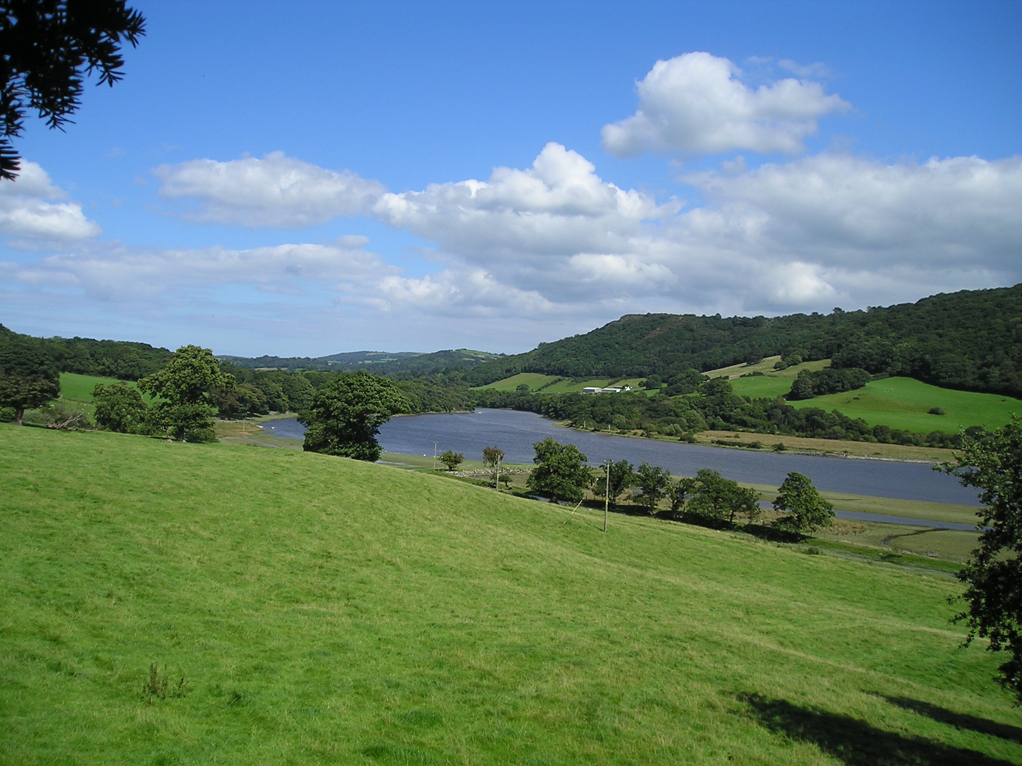
The forest also boasts a number of notable features, such as a tranquil river and a small waterfall, which add to the scenic allure of the area. These water features provide opportunities for visitors to relax, picnic, or engage in water-based activities.
Coed Bedw is not only a haven for wildlife and nature lovers but also serves as an important ecological site, contributing to the conservation and preservation of the region's biodiversity. Its accessibility, natural beauty, and abundant wildlife make it a treasured destination for both locals and tourists alike, offering a peaceful retreat amidst the stunning Welsh countryside.
If you have any feedback on the listing, please let us know in the comments section below.
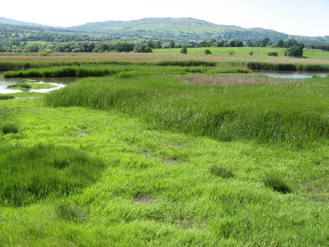
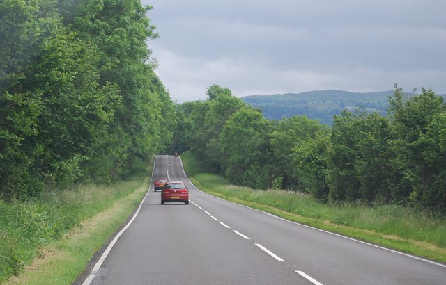
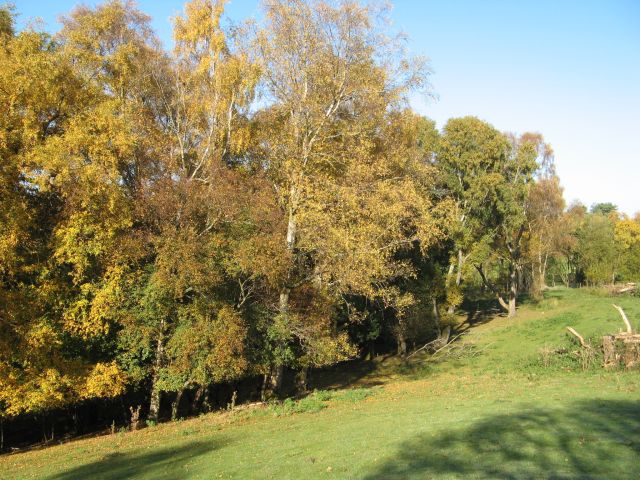
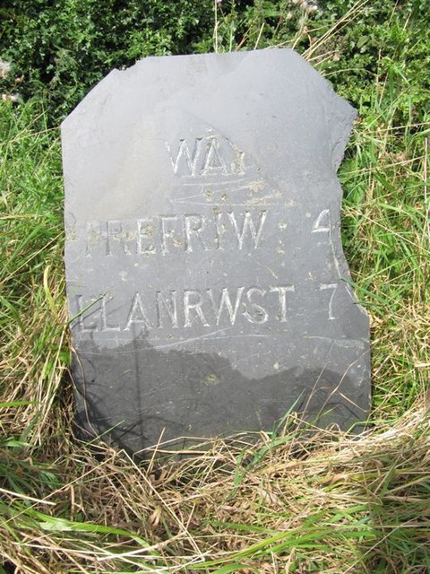
Coed Bedw Images
Images are sourced within 2km of 53.222538/-3.8351081 or Grid Reference SH7771. Thanks to Geograph Open Source API. All images are credited.


Coed Bedw is located at Grid Ref: SH7771 (Lat: 53.222538, Lng: -3.8351081)
Unitary Authority: Conwy
Police Authority: North Wales
What 3 Words
///hardback.talents.crisper. Near Llansantffraid Glan Conwy, Conwy
Nearby Locations
Related Wikis
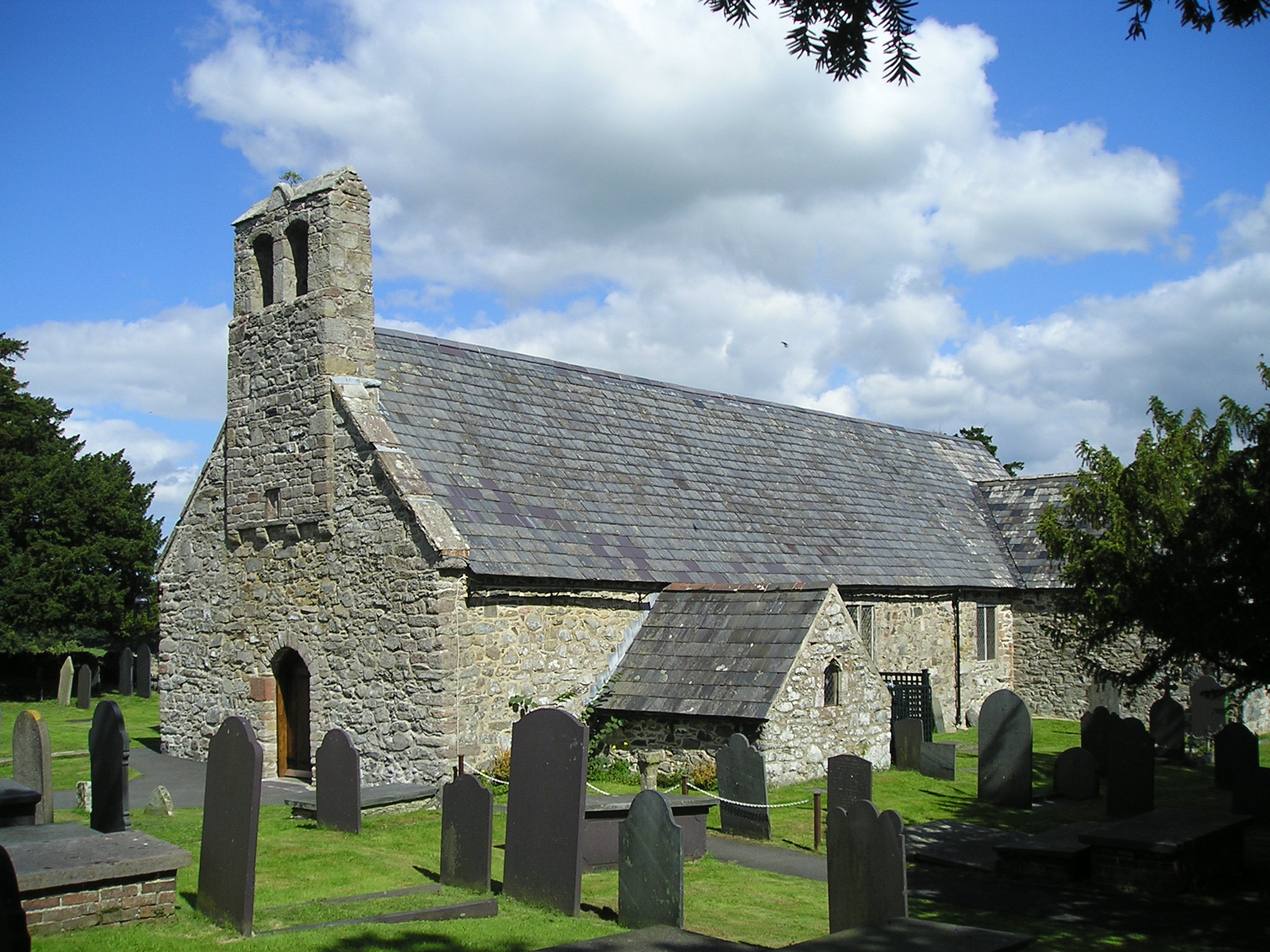
Caerhun
Caerhun (Welsh: Caerhûn) is a scattered rural community, and former civil parish, on the west bank of the River Conwy. It lies to the south of Henryd...
Canovium
Canovium was a fort in the Roman province of Britannia. Its site is located at Caerhun in the Conwy valley, in the county borough of Conwy, in North Wales...

Afon Roe
The Afon Roe is a small river in Snowdonia in north-west Wales.Its tributary is the Afon Tafolog, which drains the eastern slopes of Drum, a mountain in...
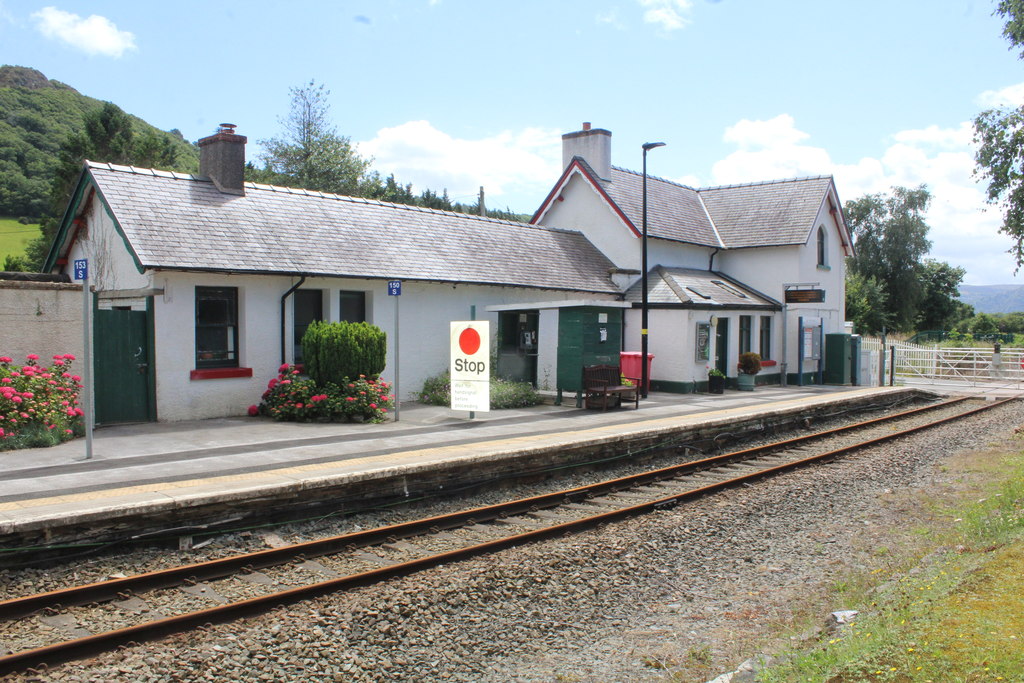
Tal-y-Cafn railway station
Tal-y-Cafn railway station is located at Tal-y-Cafn, Wales, on the Conwy Valley Line from Llandudno Junction to Blaenau Ffestiniog. == History == Until...
Nearby Amenities
Located within 500m of 53.222538,-3.8351081Have you been to Coed Bedw?
Leave your review of Coed Bedw below (or comments, questions and feedback).