Allt y Coed
Wood, Forest in Caernarfonshire
Wales
Allt y Coed
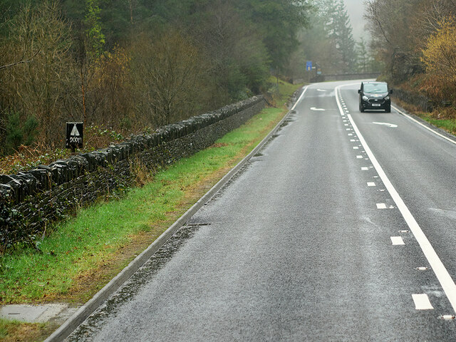
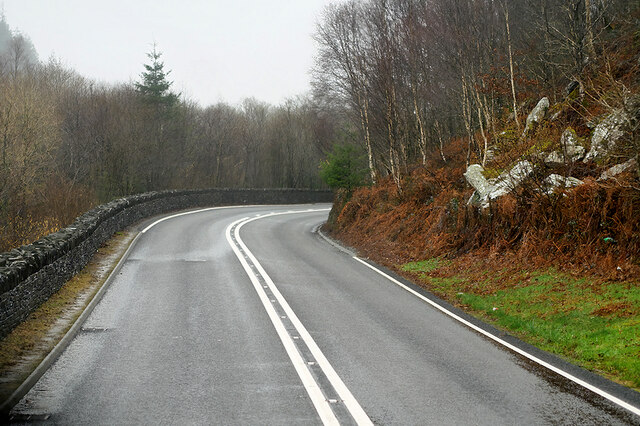
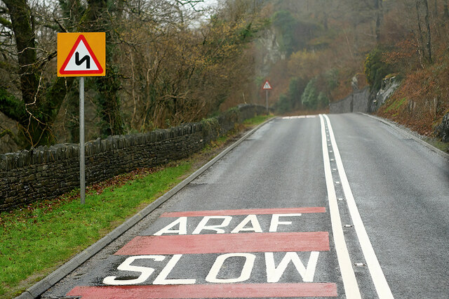
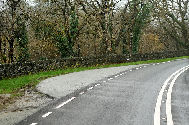
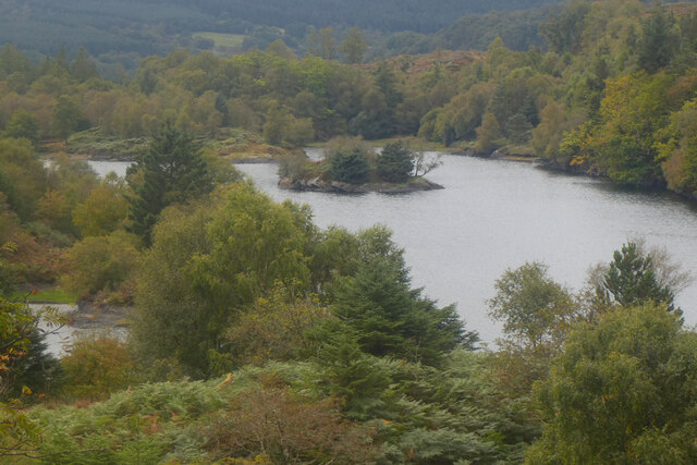
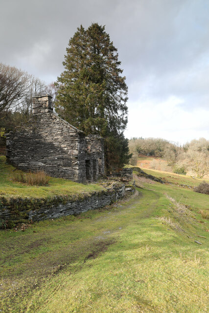
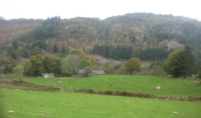
Allt y Coed, located in Caernarfonshire, Wales, is a picturesque and expansive woodland area. Covering an area of approximately 10 square kilometers, this enchanting forest is a haven for nature lovers and outdoor enthusiasts.
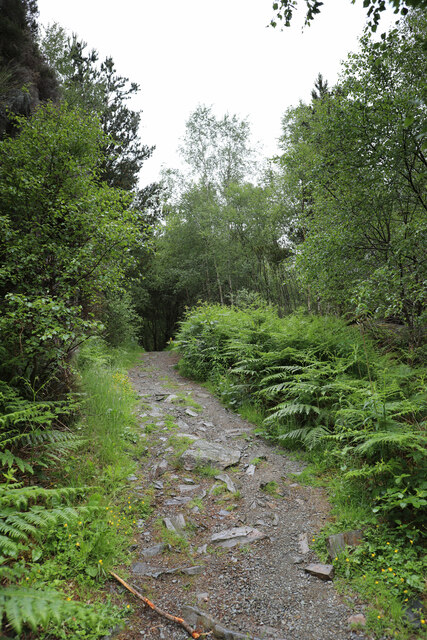
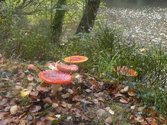
The woodland is characterized by its diverse range of tree species, including oak, beech, and conifers, which create a lush and vibrant landscape throughout the year. The forest floor is adorned with a rich carpet of ferns, bluebells, and other wildflowers, adding to its natural charm.
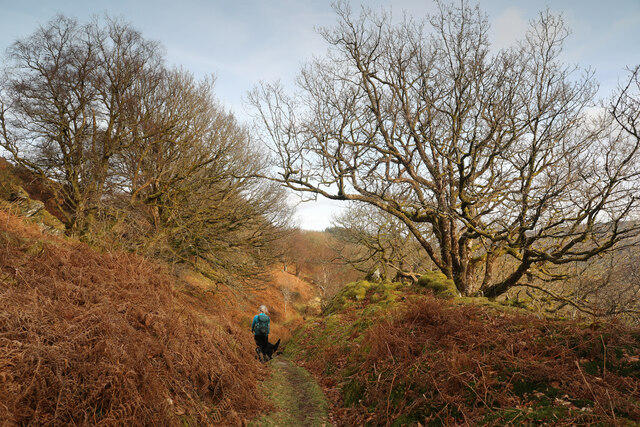
Allt y Coed is home to a variety of wildlife, making it a perfect spot for wildlife watching and bird spotting. Visitors may be lucky enough to catch a glimpse of red squirrels, foxes, badgers, and a multitude of bird species, including woodpeckers and owls.
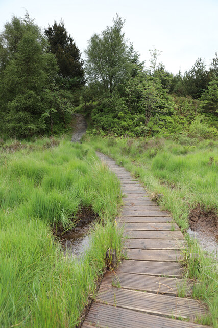
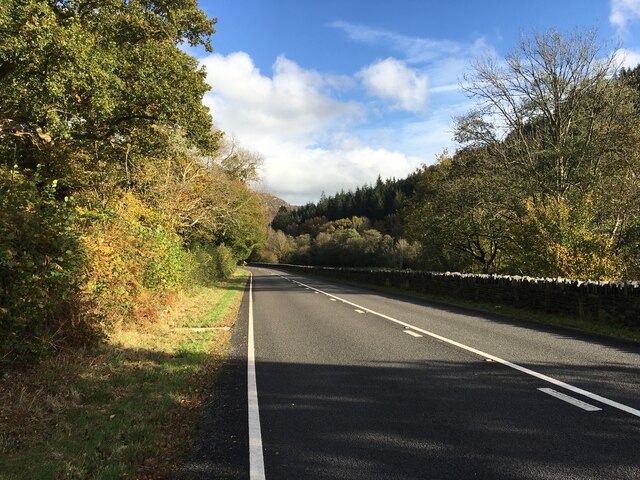
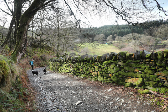
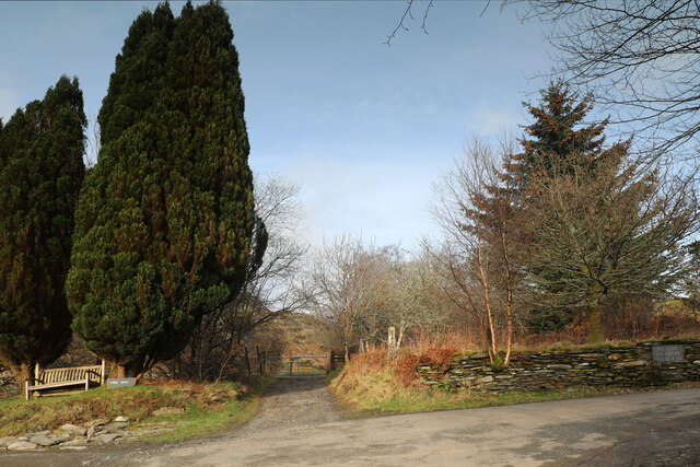
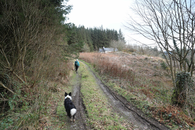
The forest offers numerous walking trails and paths, allowing visitors to explore its beauty at their own pace. These trails cater to all levels of fitness and offer a range of distances, from short family-friendly walks to longer hikes for the more adventurous. Along the way, walkers can enjoy breathtaking views of the surrounding countryside and the nearby mountains.
Allt y Coed also provides recreational activities such as cycling, horse riding, and picnicking. The forest has designated areas for camping and caravanning, making it an ideal destination for those seeking a peaceful and secluded camping experience.
With its natural beauty, diverse wildlife, and range of activities, Allt y Coed is a must-visit destination for nature enthusiasts and those seeking a tranquil escape in the heart of Caernarfonshire.
If you have any feedback on the listing, please let us know in the comments section below.
Allt y Coed Images
Images are sourced within 2km of 53.070683/-3.8345991 or Grid Reference SH7754. Thanks to Geograph Open Source API. All images are credited.

Allt y Coed is located at Grid Ref: SH7754 (Lat: 53.070683, Lng: -3.8345991)
Unitary Authority: Conwy
Police Authority: North Wales
What 3 Words
///poker.initiates.renews. Near Betws-y-Coed, Conwy
Nearby Locations
Related Wikis
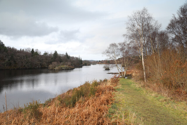
Llyn Elsi
Llyn Elsi is a lake located above the village of Betws-y-coed in the Snowdonia National Park in North Wales. It is a reservoir providing water for the...
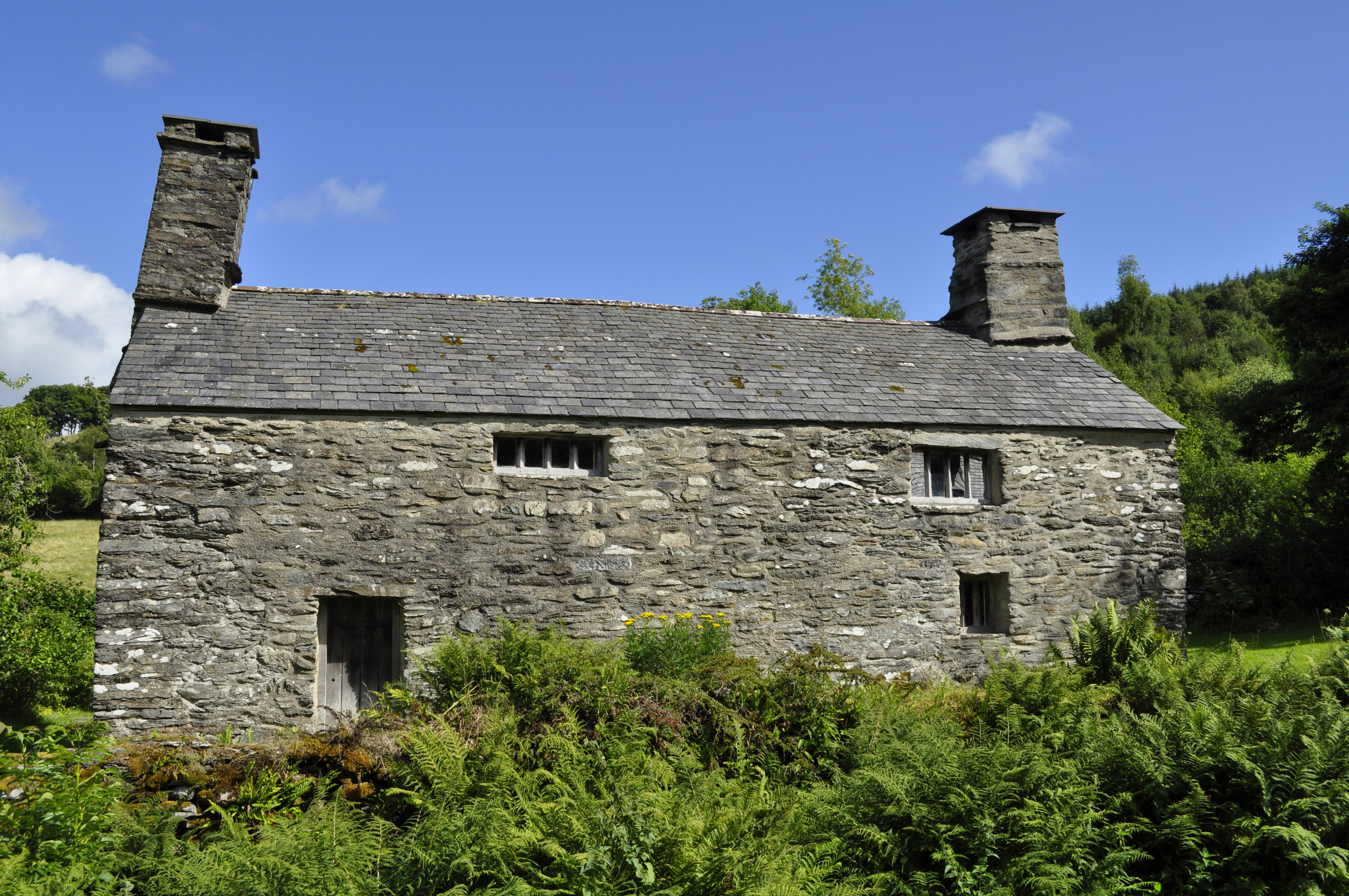
Tŷ Mawr Wybrnant
Tŷ Mawr Wybrnant is a house located in the Wybrnant Valley, in the community of Bro Machno, near Betws-y-Coed in Conwy County Borough, North Wales. It...
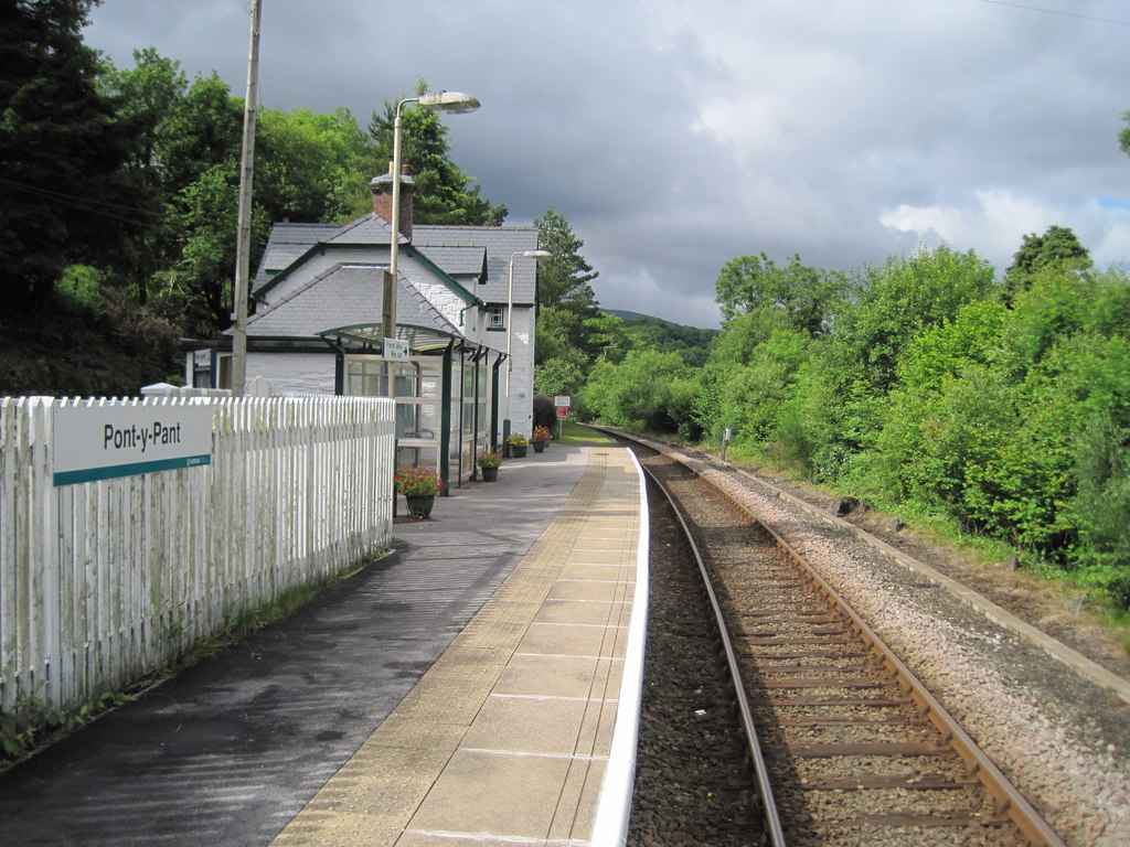
Pont-y-Pant railway station
Pont-y-Pant railway station is a single platform passenger station in the Lledr Valley, Wales, on the Conwy Valley line from Llandudno Junction to Blaenau...
Rhiw-goch quarry, Conwy
Rhiw-goch quarry (also known as Brandreath quarry) was a slate quarry that was worked from the 1860s to 1908. It stands on the north side of the Afon Lledr...

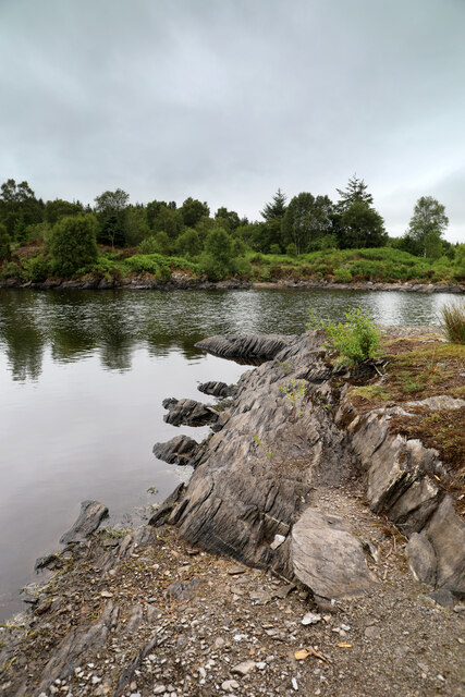
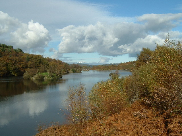
Afon Lledr
The Afon Lledr (or the River Lledr) is a river in north-west Wales and the second major tributary of the River Conwy. It is about 10 miles or 16 km long...
Lledr Valley
The Lledr Valley (Welsh: Dyffryn Lledr) is a valley in Snowdonia in north Wales. It runs from the top of the Crimea Pass, north of Blaenau Ffestiniog...

River Llugwy
River Llugwy (Welsh: Afon Llugwy) is a tributary of the River Conwy, and has its source at Ffynnon Llugwy, a lake in the Carneddau range of mountains in...

Prince Llewellyn quarry
The Prince Llewellyn quarry (also known as Bwlch Cynnud quarry, Y Foel quarry, Hendre Ddu quarry, or Prince Llywelyn quarry) was a slate quarry that stands...
Nearby Amenities
Located within 500m of 53.070683,-3.8345991Have you been to Allt y Coed?
Leave your review of Allt y Coed below (or comments, questions and feedback).