Coed Gwylfryn
Wood, Forest in Caernarfonshire
Wales
Coed Gwylfryn

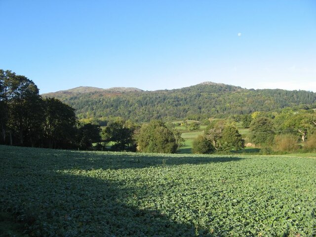
Coed Gwylfryn, located in Caernarfonshire, Wales, is a picturesque woodland area known for its natural beauty and rich biodiversity. Spanning over several hectares, this enchanting forest is a haven for nature lovers and outdoor enthusiasts alike.
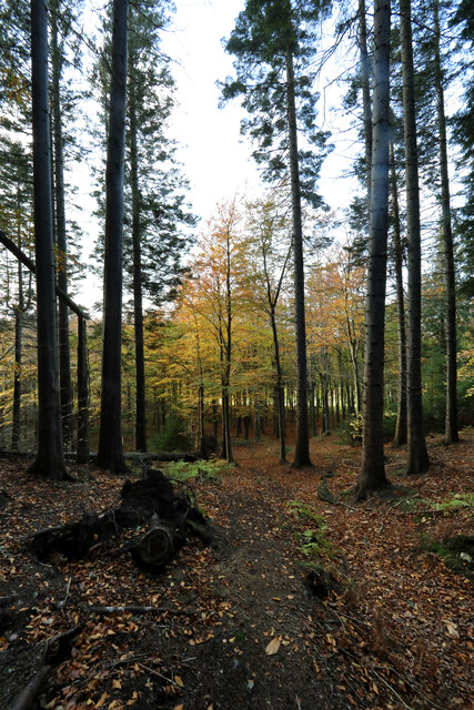
The woodland is characterized by a diverse array of tree species, including oak, ash, beech, and birch, which create a stunning canopy overhead. The forest floor is covered in a lush carpet of ferns, mosses, and wildflowers, lending an ethereal atmosphere to the surroundings. The presence of these plants also attracts a variety of birds, butterflies, and other insects, making it a popular spot for birdwatchers and wildlife enthusiasts.
Coed Gwylfryn offers several walking trails that wind their way through the forest, allowing visitors to explore its hidden corners and discover its hidden gems. These trails range from easy strolls suitable for families to more challenging hikes for experienced adventurers. Along the way, there are numerous viewpoints that offer breathtaking vistas of the surrounding countryside, including distant mountains and rolling hills.
In addition to its natural beauty, Coed Gwylfryn has historical significance as well. It is believed to have been a site of human activity for thousands of years, with evidence of ancient settlements and burial sites found within its boundaries. This adds an extra layer of intrigue to the forest, making it a fascinating destination for history buffs and archaeology enthusiasts.
Overall, Coed Gwylfryn is a captivating woodland retreat that offers a tranquil escape from the hustle and bustle of everyday life. With its stunning landscapes, diverse flora and fauna, and intriguing history, it is a must-visit destination for those seeking a connection with nature and a sense of serenity.
If you have any feedback on the listing, please let us know in the comments section below.
Coed Gwylfryn Images
Images are sourced within 2km of 53.24338/-3.8430589 or Grid Reference SH7773. Thanks to Geograph Open Source API. All images are credited.


Coed Gwylfryn is located at Grid Ref: SH7773 (Lat: 53.24338, Lng: -3.8430589)
Unitary Authority: Conwy
Police Authority: North Wales
What 3 Words
///skater.calculate.outlooks. Near Llansantffraid Glan Conwy, Conwy
Nearby Locations
Related Wikis
Henryd
Henryd () is a village and community on the western slopes of the Conwy valley in Conwy county borough, north Wales. It lies about 2 miles (3.2 km) south...

Llangelynnin, Conwy
Llangelynnin (; Welsh for The church of Celynnin) is a former parish in the Conwy valley, in Conwy county borough, north Wales. Today the name exists...

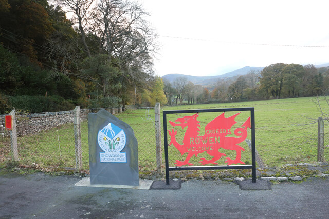
Rowen, Conwy
Rowen is a village on the western slopes of the Conwy valley in the parish of Caerhun and the former County of Caernarfonshire in Wales. It lies off the...
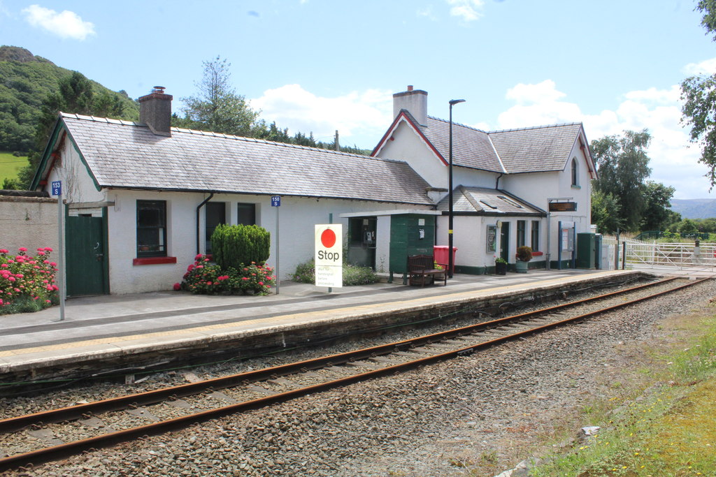
Tal-y-Cafn railway station
Tal-y-Cafn railway station is located at Tal-y-Cafn, Wales, on the Conwy Valley Line from Llandudno Junction to Blaenau Ffestiniog. == History == Until...
Nearby Amenities
Located within 500m of 53.24338,-3.8430589Have you been to Coed Gwylfryn?
Leave your review of Coed Gwylfryn below (or comments, questions and feedback).