Llangelynnin
Settlement in Caernarfonshire
Wales
Llangelynnin

The requested URL returned error: 429 Too Many Requests
If you have any feedback on the listing, please let us know in the comments section below.
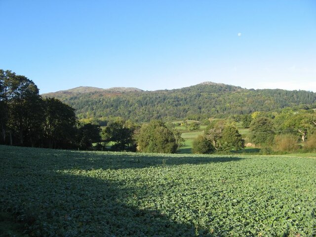
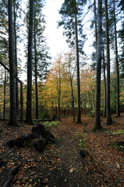
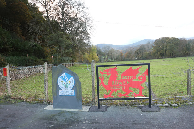
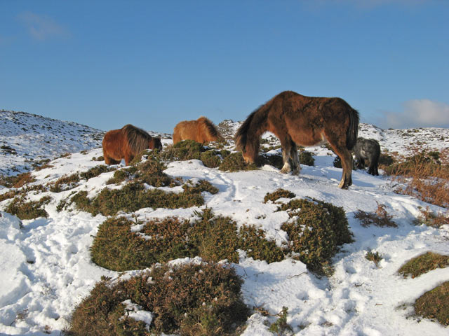
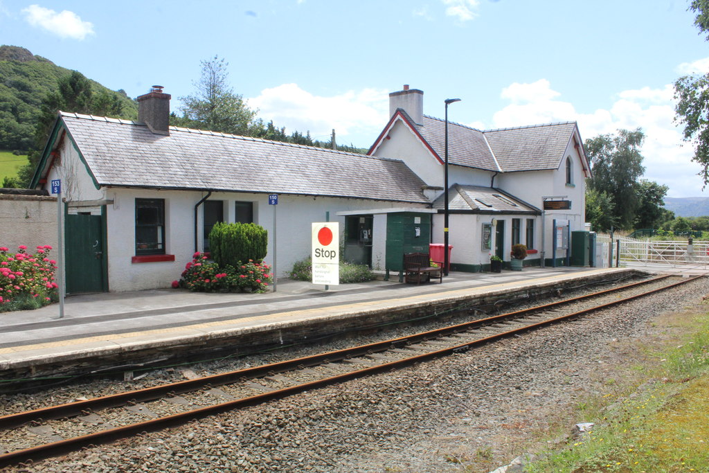
Llangelynnin Images
Images are sourced within 2km of 53.245339/-3.841959 or Grid Reference SH7773. Thanks to Geograph Open Source API. All images are credited.


Llangelynnin is located at Grid Ref: SH7773 (Lat: 53.245339, Lng: -3.841959)
Unitary Authority: Conwy
Police Authority: North Wales
What 3 Words
///hikes.beams.charging. Near Llansantffraid Glan Conwy, Conwy
Nearby Locations
Related Wikis
Henryd
Henryd () is a village and community on the western slopes of the Conwy valley in Conwy county borough, north Wales. It lies about 2 miles (3.2 km) south...

Llangelynnin, Conwy
Llangelynnin (; Welsh for The church of Celynnin) is a former parish in the Conwy valley, in Conwy county borough, north Wales. Today the name exists...

Rowen, Conwy
Rowen is a village on the western slopes of the Conwy valley in the parish of Caerhun and the former County of Caernarfonshire in Wales. It lies off the...
Tal-y-Cafn railway station
Tal-y-Cafn railway station is located at Tal-y-Cafn, Wales, on the Conwy Valley Line from Llandudno Junction to Blaenau Ffestiniog. == History == Until...
Nearby Amenities
Located within 500m of 53.245339,-3.841959Have you been to Llangelynnin?
Leave your review of Llangelynnin below (or comments, questions and feedback).