Coed y Foel
Wood, Forest in Merionethshire
Wales
Coed y Foel
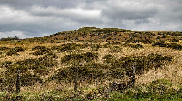
Coed y Foel, located in Merionethshire, Wales, is a picturesque woodland area known for its natural beauty and rich biodiversity. Spanning over a significant area, this forest is a haven for nature enthusiasts and hikers alike.
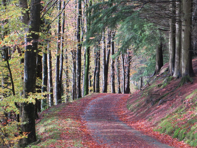
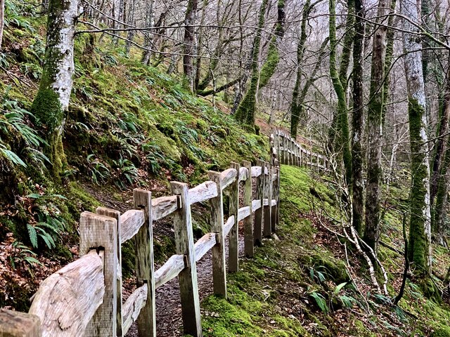
The woodland is characterized by its dense canopy of trees, predominantly consisting of native species such as oak, beech, and birch. These trees create a serene and tranquil atmosphere, providing shade and shelter for a variety of wildlife. The forest floor is covered in a thick carpet of moss, ferns, and wildflowers, creating a vibrant and enchanting setting.
Coed y Foel is home to a diverse range of flora and fauna, including numerous species of birds, butterflies, and small mammals. Birdwatchers can spot native birds such as the great spotted woodpecker, nuthatch, and tawny owl, while lucky visitors may even catch a glimpse of elusive creatures like red squirrels or pine martens.
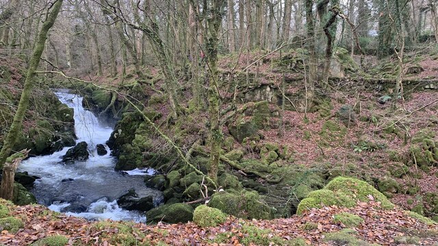
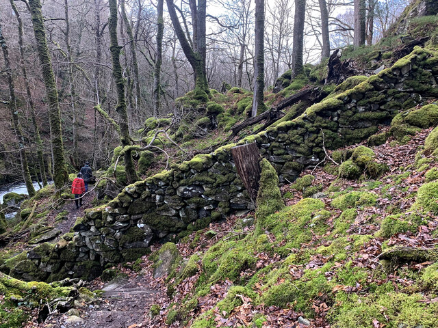
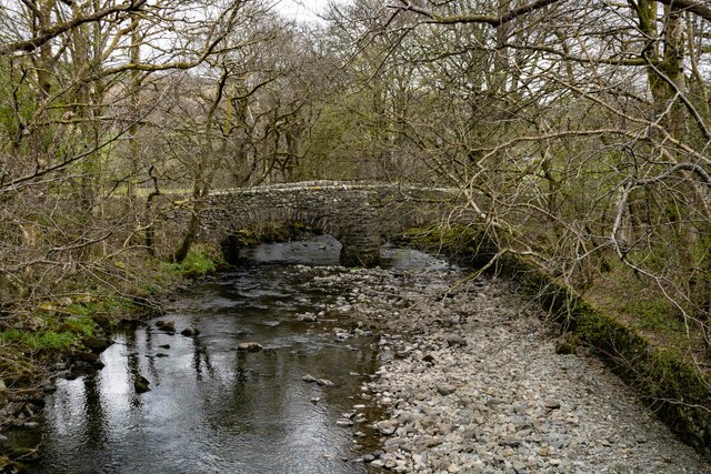
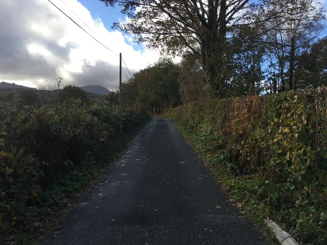
The forest offers a network of well-maintained trails, allowing visitors to explore the area on foot or by bike. These paths wind through the woodland, offering breathtaking views of the surrounding hills and valleys. Along the way, visitors can discover hidden streams, cascading waterfalls, and small ponds, adding to the beauty and tranquility of the landscape.
Coed y Foel also serves as an important ecological site, with conservation efforts in place to protect its natural habitats and species. The forest is a vital part of the local ecosystem, providing a crucial habitat for wildlife and contributing to the overall health of the region.
Overall, Coed y Foel is a captivating woodland destination, offering visitors a chance to immerse themselves in nature and appreciate the wonders of Wales' natural heritage.
If you have any feedback on the listing, please let us know in the comments section below.
Coed y Foel Images
Images are sourced within 2km of 52.744209/-3.8229113 or Grid Reference SH7717. Thanks to Geograph Open Source API. All images are credited.


Coed y Foel is located at Grid Ref: SH7717 (Lat: 52.744209, Lng: -3.8229113)
Unitary Authority: Gwynedd
Police Authority: North Wales
What 3 Words
///roadmap.infringe.bandage. Near Dolgellau, Gwynedd
Nearby Locations
Related Wikis

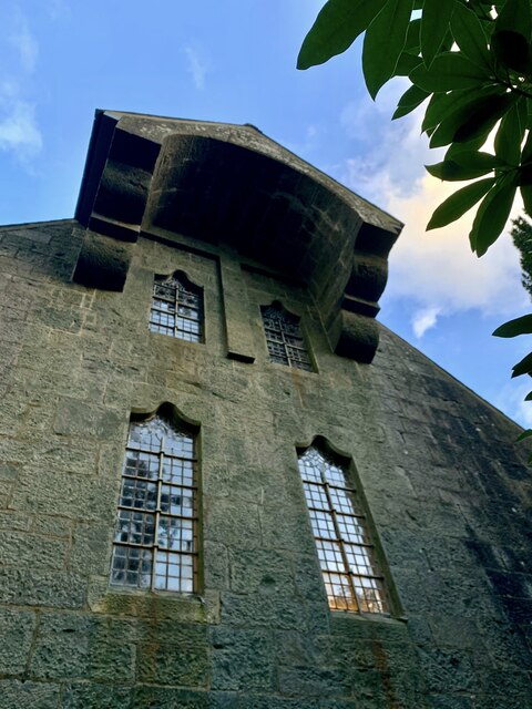
St Mark's Church, Brithdir
St Mark's Church, Brithdir, is a redundant church in the hamlet of Brithdir, Gwynedd, Wales. It is designated by Cadw as a Grade I listed building, and...
Brithdir, Gwynedd
Brithdir is a small hamlet on the outskirts of Dolgellau, Gwynedd in the community of Brithdir and Llanfachreth. The Arts and Crafts Movement St Mark's...

Meirionnydd
Meirionnydd is a coastal and mountainous region of Wales. It has been a kingdom, a cantref, a district and, as Merionethshire, a county. == Kingdom... ==
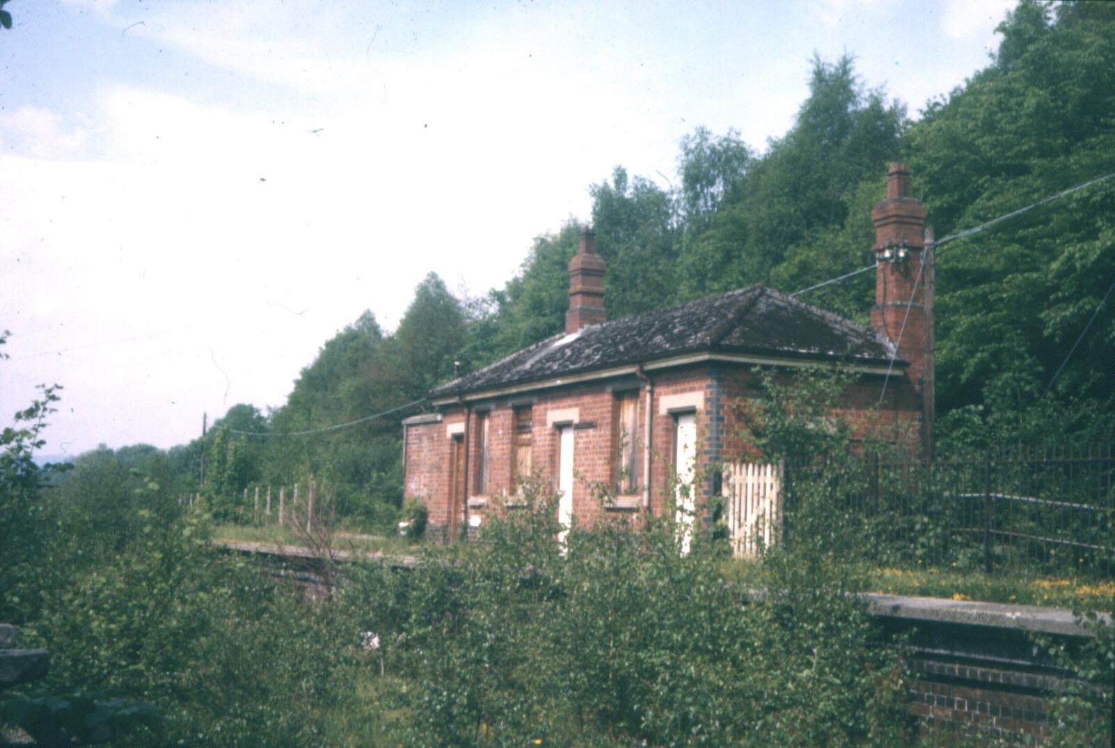
Bont Newydd railway station
Bont Newydd railway station (sometimes shown as Bontnewydd) in Gwynedd, Wales, was a station on the now-closed Ruabon to Barmouth line. Originally a single...
Nearby Amenities
Located within 500m of 52.744209,-3.8229113Have you been to Coed y Foel?
Leave your review of Coed y Foel below (or comments, questions and feedback).