Burston

Settlement in Staffordshire Stafford

England

Burston

Farmland and railway bridge near Aston-by-Stone This is the view looking north-north-east from the Trent and Mersey Canal east of Aston-by-Stone.
The bridge carries the West Coast Main Line (Trent Valley) over the A51 between Stoke-on-Trent and Rugeley.
A mobile phone transmitting mast is a more recent addition.
Farmland and railway bridge near Aston-by-Stone Credit: Roger Kidd

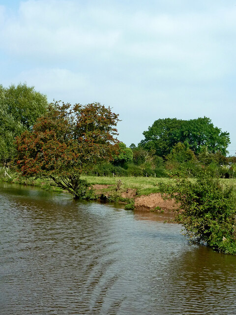
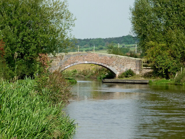
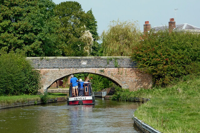
Burston is a small village located in the county of Staffordshire, England. It lies about 3 miles northeast of the town of Stafford, and is situated on the A518 road. The village is nestled in a rural setting, surrounded by picturesque countryside and farmland.

Burston has a long history, with evidence of human habitation dating back to the Neolithic period. The village itself is mentioned in the Domesday Book of 1086, indicating its significance during the medieval era. Over the centuries, Burston has primarily been an agricultural community, with farming being the main occupation of its residents.

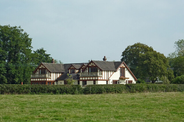
Today, Burston retains its rural charm, with a small population and a close-knit community. The village is made up of a collection of traditional stone and brick houses, some of which date back several centuries. There are also a few modern developments, but the overall character of the village remains largely unchanged.

Burston boasts a few amenities to cater to its residents. These include a village hall, a primary school, and a pub. The village hall serves as a venue for community events and gatherings, while the primary school provides education for local children. The pub offers a place for locals and visitors to socialize and enjoy a drink or meal.

The surrounding countryside offers opportunities for outdoor activities such as walking, cycling, and horse riding. Burston is also within easy reach of the larger town of Stafford, which provides additional amenities and services including shops, supermarkets, and healthcare facilities.

In conclusion, Burston is a small, rural village in Staffordshire that has a rich history and a close-knit community. Its picturesque setting and proximity to Stafford make it an attractive place to live for those seeking a peaceful and idyllic lifestyle.

If you have any feedback on the listing, please let us know in the comments section below.
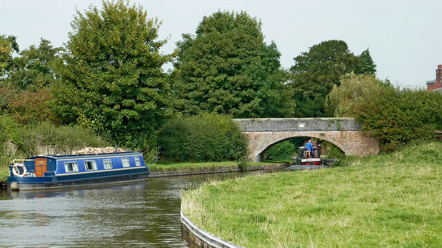
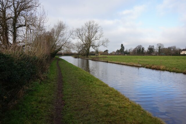
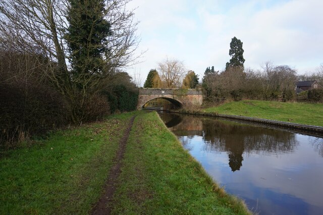
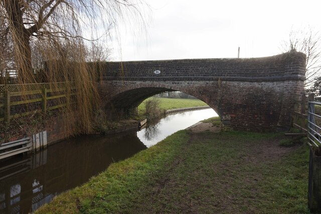
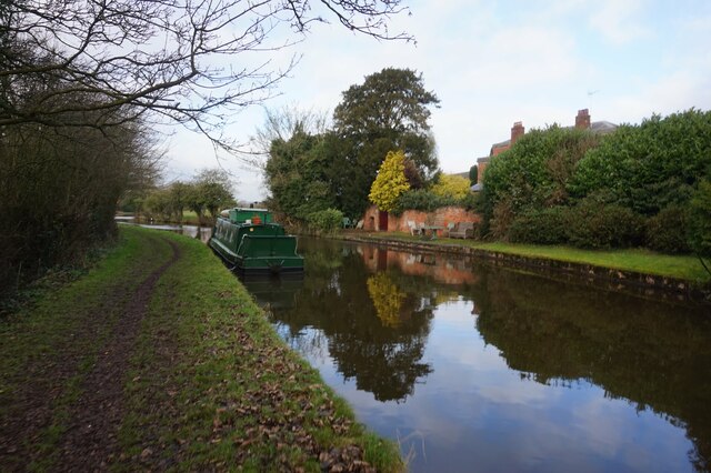
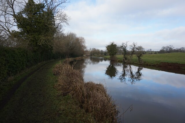
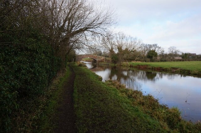
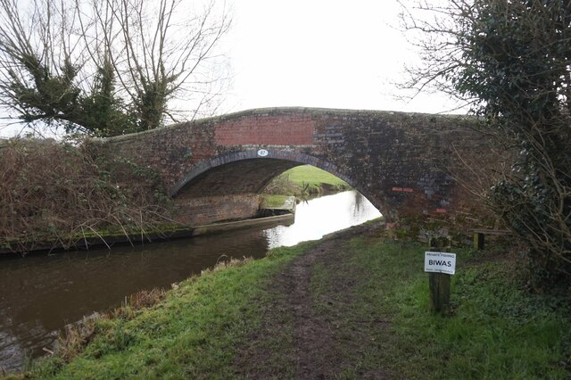
Burston Images

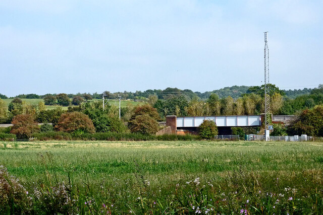
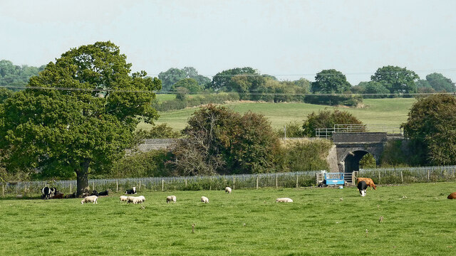
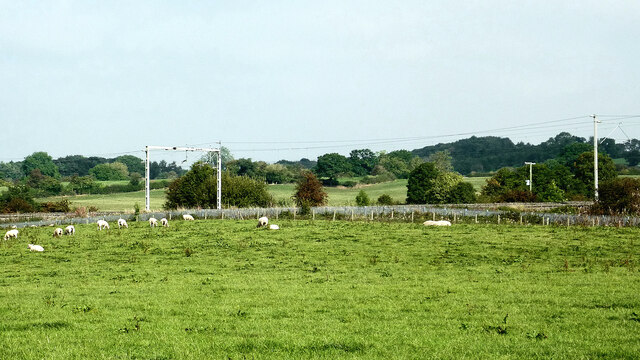
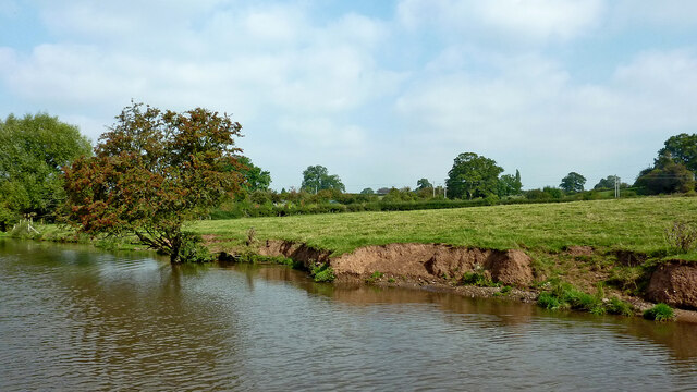
Images are sourced within 2km of 52.86967/-2.092075 or Grid Reference SJ9330. Thanks to Geograph Open Source API. All images are credited.

Farmland and railway bridge near Aston-by-Stone This is the view looking north-north-east from the Trent and Mersey Canal east of Aston-by-Stone.
The bridge carries the West Coast Main Line (Trent Valley) over the A51 between Stoke-on-Trent and Rugeley.
A mobile phone transmitting mast is a more recent addition.
Farmland and railway bridge near Aston-by-Stone
This is the view looking north-north-east from the Trent and Mersey Canal east of Aston-by-Stone. The bridge carries the West Coast Main Line (Trent Valley) over the A51 between Stoke-on-Trent and Rugeley. A mobile phone transmitting mast is a more recent addition.
Staffordshire farmland north-west of Burston Looking north-east from the Trent and Mersey Canal near Iron Bridge, No 88.
The bridge carries the West Coast Main Line (Trent Valley) over a farm track near Carr House.
Staffordshire farmland north-west of Burston
Looking north-east from the Trent and Mersey Canal near Iron Bridge, No 88. The bridge carries the West Coast Main Line (Trent Valley) over a farm track near Carr House.
Staffordshire farmland north-west of Burston Looking north from the Trent and Mersey Canal south of Carr House.
Staffordshire farmland north-west of Burston
Looking north from the Trent and Mersey Canal south of Carr House.
Canalside pasture near Burston in Staffordshire Looking north-west near Iron Bridge, No 88, on the Trent and Mersey Canal.
The edge of the canal is eroded by thirsty grazing cattle.
Canalside pasture near Burston in Staffordshire
Looking north-west near Iron Bridge, No 88, on the Trent and Mersey Canal. The edge of the canal is eroded by thirsty grazing cattle.
Long Meadow Bridge near Burston in Staffordshire This is the Trent and Mersey Canal, looking north-north-west towards Long Meadow Bridge, No 87. It is an accommodation bridge with no public right of way across it or into adjacent fields.
Long Meadow Bridge near Burston in Staffordshire
This is the Trent and Mersey Canal, looking north-north-west towards Long Meadow Bridge, No 87. It is an accommodation bridge with no public right of way across it or into adjacent fields.
Upper Burston Bridge near Burston in Staffordshire Upper Burston Bridge is No 86 across the Trent and Mersey Canal. It is an accommodation bridge which also carries a public footpath (and the Two Saints Way).
Upper Burston Bridge near Burston in Staffordshire
Upper Burston Bridge is No 86 across the Trent and Mersey Canal. It is an accommodation bridge which also carries a public footpath (and the Two Saints Way).
Large house near Burston in Staffordshire This impressive residence is located at the end of Burston Lane, and seen here by looking north-east from the Trent and Mersey Canal.
Large house near Burston in Staffordshire
This impressive residence is located at the end of Burston Lane, and seen here by looking north-east from the Trent and Mersey Canal.
Canal at Upper Burston Bridge near Burston in Staffordshire Upper Burston Bridge is No 86 across the Trent and Mersey Canal. It is an accommodation bridge which also carries a public footpath (and the Two Saints Way).
Canal at Upper Burston Bridge near Burston in Staffordshire
Upper Burston Bridge is No 86 across the Trent and Mersey Canal. It is an accommodation bridge which also carries a public footpath (and the Two Saints Way).
Trent & Mersey Canal towards Bridge #86
Trent & Mersey Canal towards at #86
Trent & Mersey Canal at Bridge #86
Trent & Mersey Canal towards Bridge #87
Trent & Mersey Canal at Bridge #87
Trent & Mersey Canal towards Bridge #88
Show me another place!

Burston is located at Grid Ref: SJ9330 (Lat: 52.86967, Lng: -2.092075)

Administrative County: Staffordshire

District: Stafford

Police Authority: Staffordshire

What 3 Words

///prayers.rewarded.cherubs. Near Stone, Staffordshire

Nearby Locations

Burston

Related Wikis

Sandon, Staffordshire

Sandon is a village in the civil parish of Sandon and Burston, in the Stafford district, in the county of Staffordshire, England. It is about 4.5 miles...

Sandon railway station

Sandon railway station was a railway station opened by the North Staffordshire Railway to serve the village of Sandon, Staffordshire, England. For some...

Sandon Hall

Sandon Hall is a 19th-century country mansion, the seat of the Earl of Harrowby, at Sandon, Staffordshire, 5 miles (8.0 km) northeast of Stafford. It is...

Yarlet School

Yarlet School, formerly Yarlet Hall, is a coeducational preparatory school located in the district of Yarlet, 3 miles (4.8 km) north of the county town...

Nearby Amenities

Located within 500m of 52.86967,-2.092075
Burston
Place: hamlet
Lat/Long: 52.8675079/-2.0944669
Bus Stop
Shruggs Lane
Bus: yes
Naptan AtcoCode: 3800C736301
Naptan Bearing: NW
Naptan BusStopType: CUS
Naptan CommonName: Shruggs Lane
Naptan Indicator: Opp
Naptan Landmark: Shruggs Lane
Naptan Street: Lichfield Rd
Naptan Verified: no
Public Transport: platform
Source: naptan_import
Lat/Long: 52.8702907/-2.0920774
Bus Stop
Shruggs Lane
Bus: yes
Naptan AtcoCode: 3800C736302
Naptan Bearing: SE
Naptan CommonName: Shruggs Lane
Naptan Indicator: Adj
Naptan Landmark: Shruggs Lane
Naptan Street: Lichfield Road
Naptan Verified: no
Public Transport: platform
Source: naptan_import
Lat/Long: 52.8699925/-2.0910538
Post Box
Collection Times: Mo-Fr 16:00; Sa 08:30
Note: Cast iron box, inset into wall, no sign of any cypher, POST OFFICE only.
Post Box Type: wall
Ref: ST18 226
Royal Cypher: no
Lat/Long: 52.8697048/-2.0914995
Public Footpath - Two Saints Way
Hiking: yes
Information: guidepost
Tourism: information
Lat/Long: 52.8683151/-2.0990657
Public Footpath
Hiking: yes
Information: guidepost
Tourism: information
Lat/Long: 52.8689307/-2.0936509
Two Saints Way (Stage 11)
Board Type: history
Description: Burston and St Rufin's Church
Information: board
Tourism: information
Lat/Long: 52.8678979/-2.0976961
Bus Stop
Bench: yes
Bus: yes
Public Transport: platform
Shelter: yes
Lat/Long: 52.8698053/-2.0918638
Power: pole
Lat/Long: 52.871218/-2.0984171
Power: pole
Lat/Long: 52.8705202/-2.09754
Power: pole
Lat/Long: 52.870015/-2.096443
Power: pole
Lat/Long: 52.8695228/-2.0953781
Power: pole
Lat/Long: 52.8690306/-2.0942221
Power: pole
Lat/Long: 52.8681595/-2.0921836
Power: pole
Lat/Long: 52.8670278/-2.0895416
The data included in this document is from www.openstreetmap.org. The data is made available under ODbL.

Have you been to Burston?

Leave your review of Burston below (or comments, questions and feedback).