Burstallhill

Settlement in Suffolk Babergh

England

Burstallhill

Lady Lane. Hintlesham
Lady Lane. Hintlesham Credit: David Howard

Burstallhill is a small village located in the county of Suffolk, England. Situated approximately 10 miles southwest of the county town of Ipswich, Burstallhill lies within the Babergh district. The village is nestled amidst picturesque countryside, offering residents and visitors a tranquil and idyllic setting.

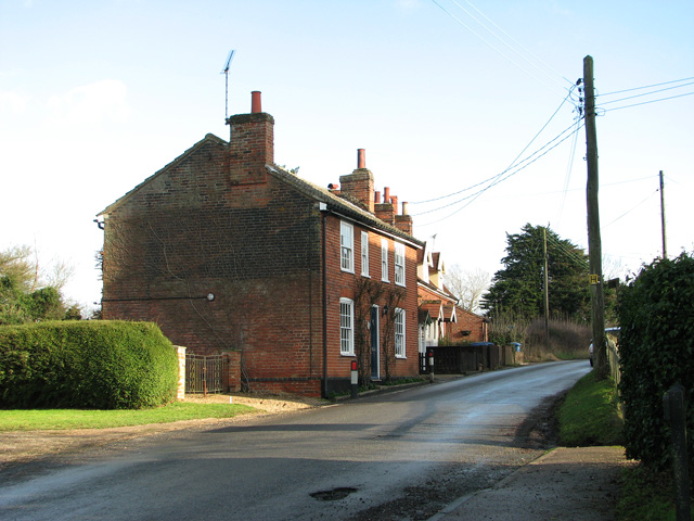
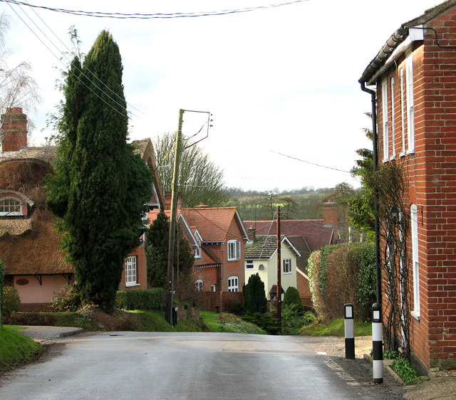
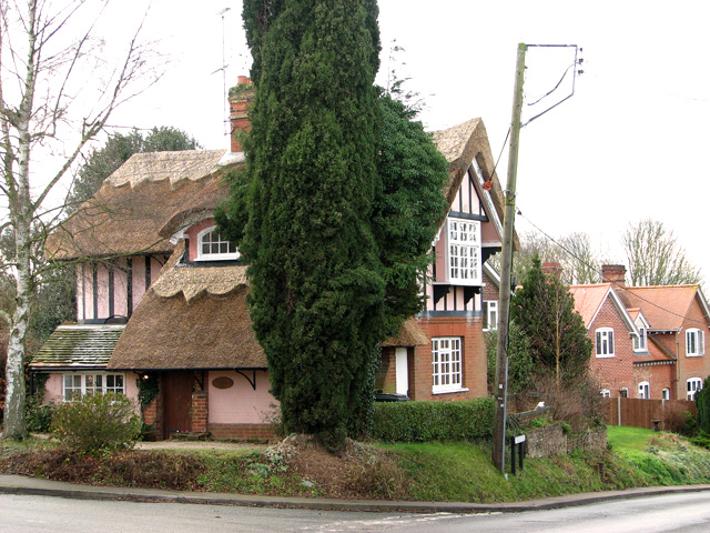
With a population of around 300 people, Burstallhill is a close-knit community known for its friendly and welcoming atmosphere. The village features a mix of traditional and modern homes, with charming cottages and contemporary houses scattered throughout. Burstallhill boasts a strong sense of community spirit, with various social events and activities organized throughout the year.

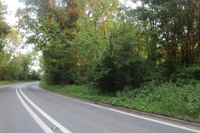
The village is surrounded by beautiful landscapes, making it an ideal location for nature enthusiasts and outdoor lovers. There are several walking and cycling paths that wind through the surrounding countryside, providing opportunities to explore the area's natural beauty. Burstallhill is also close to the River Orwell, offering residents and visitors the chance to enjoy boating and fishing activities.

While Burstallhill is primarily a residential village, amenities such as shops, schools, and healthcare services can be found in nearby towns and villages. The village benefits from good transport links, with easy access to major roads and public transportation services.

In summary, Burstallhill is a charming and peaceful village in Suffolk, offering residents a serene countryside lifestyle while still being within reach of essential amenities.

If you have any feedback on the listing, please let us know in the comments section below.
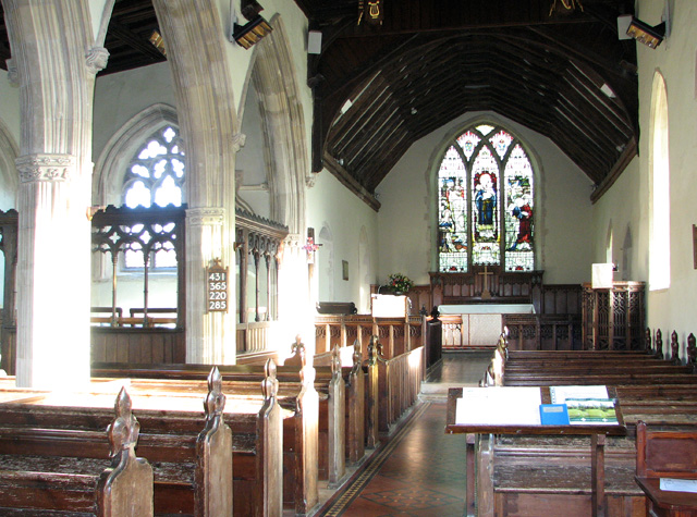
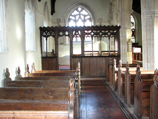
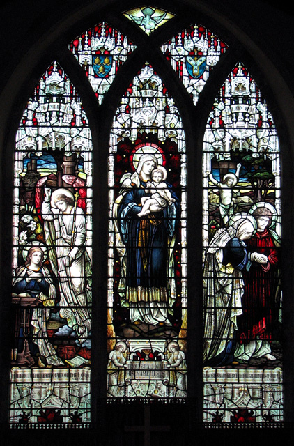
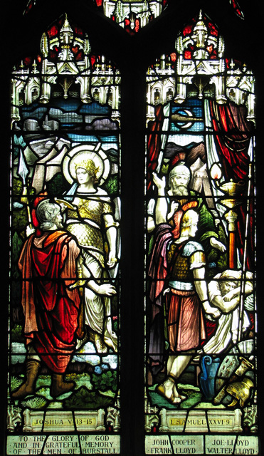
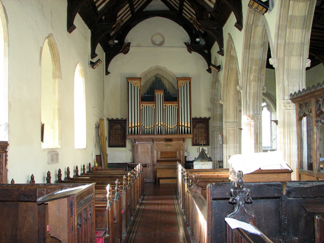
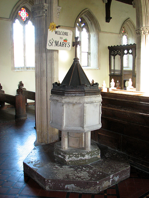
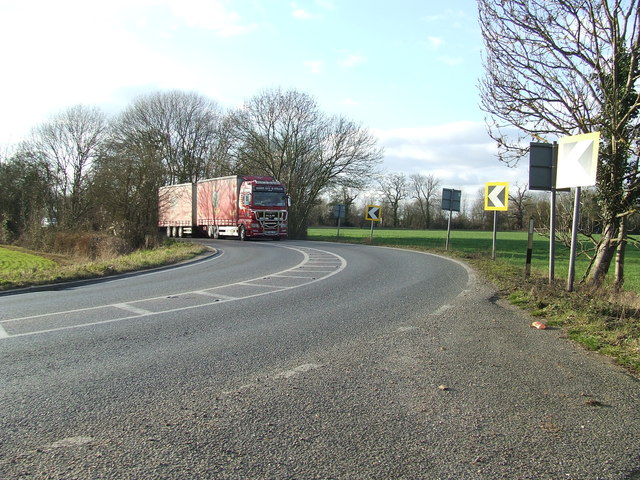
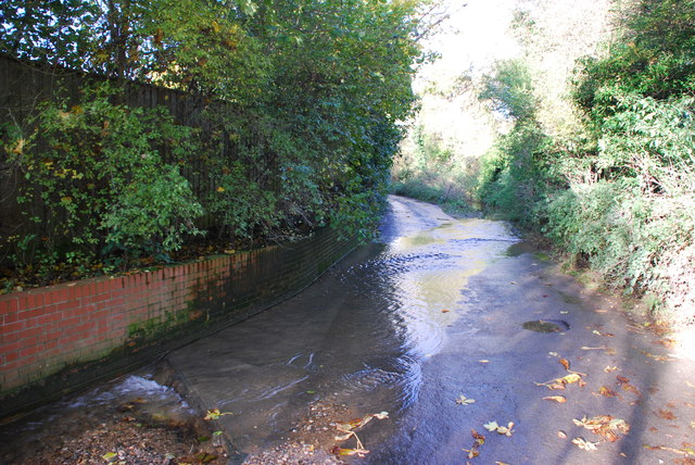
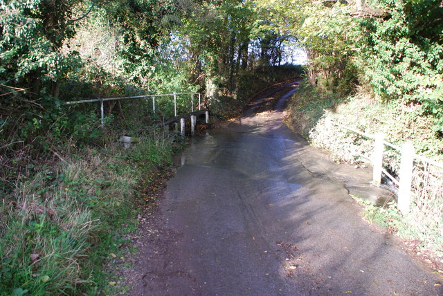
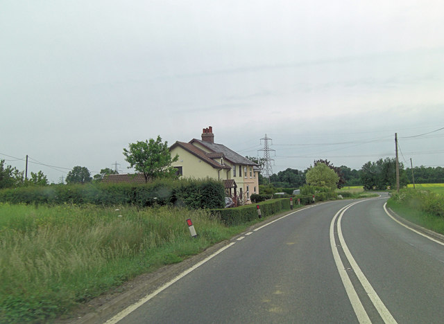
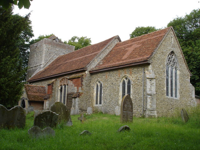
Burstallhill Images

Images are sourced within 2km of 52.069387/1.041071 or Grid Reference TM0845. Thanks to Geograph Open Source API. All images are credited.

Lady Lane. Hintlesham
Cottages opposite St Mary's church, Burstall
The Street, Burstall
Burstall Lodge, Burstall This lovely timber-framed, thatched cottage is located in The Street.
Burstall Lodge, Burstall
This lovely timber-framed, thatched cottage is located in The Street.
The village sign in Burstall
St Mary's church in Burstall For more information go to: <a title="https://www.geograph.org.uk/photo/2084825" href="https://www.geograph.org.uk/photo/2084825">Link</a>.
St Mary's church in Burstall
For more information go to: Link.
St Mary's church in Burstall For more information go to: <a title="https://www.geograph.org.uk/photo/2084825" href="https://www.geograph.org.uk/photo/2084825">Link</a>.
St Mary's church in Burstall
For more information go to: Link.
St Mary's church in Burstall - the porch For more information go to: <a title="https://www.geograph.org.uk/photo/2084825" href="https://www.geograph.org.uk/photo/2084825">Link</a>.
St Mary's church in Burstall - the porch
For more information go to: Link.
St Mary's church in Burstall View east. For more information go to: <a title="https://www.geograph.org.uk/photo/2084825" href="https://www.geograph.org.uk/photo/2084825">Link</a>.
St Mary's church in Burstall
View east. For more information go to: Link.
St Mary's church in Burstall North aisle with medieval parclose screen. For more information go to: <a title="https://www.geograph.org.uk/photo/2084825" href="https://www.geograph.org.uk/photo/2084825">Link</a>.
St Mary's church in Burstall
North aisle with medieval parclose screen. For more information go to: Link.
St Mary's church in Burstall East window. For more information go to: <a title="https://www.geograph.org.uk/photo/2084825" href="https://www.geograph.org.uk/photo/2084825">Link</a>.
St Mary's church in Burstall
East window. For more information go to: Link.
St Mary's church in Burstall For more information go to: <a title="https://www.geograph.org.uk/photo/2084825" href="https://www.geograph.org.uk/photo/2084825">Link</a>.
St Mary's church in Burstall
For more information go to: Link.
St Mary's church in Burstall View west. For more information go to: <a title="https://www.geograph.org.uk/photo/2084825" href="https://www.geograph.org.uk/photo/2084825">Link</a>.
St Mary's church in Burstall
View west. For more information go to: Link.
St Mary's church in Burstall Medieval baptismal font. For more information go to: <a title="https://www.geograph.org.uk/photo/2084825" href="https://www.geograph.org.uk/photo/2084825">Link</a>.
St Mary's church in Burstall
Medieval baptismal font. For more information go to: Link.
Sharp Bend Sharp bend on the A1071 near to Hintlesham, Suffolk.
Sharp Bend
Sharp bend on the A1071 near to Hintlesham, Suffolk.
Ford on The Channel, Burstall Hill This ford is found on The Channel at Burstall Hill. There is a second ford further down the road.
Ford on The Channel, Burstall Hill
This ford is found on The Channel at Burstall Hill. There is a second ford further down the road.
Burstall Hill Ford This is a second ford on The Channel foound on a bend in the road.
Burstall Hill Ford
This is a second ford on The Channel foound on a bend in the road.
A1071 east of Norman's Farm
Show me another place!

Burstallhill is located at Grid Ref: TM0845 (Lat: 52.069387, Lng: 1.041071)

Administrative County: Suffolk

District: Babergh

Police Authority: Suffolk

What 3 Words

///crawled.obstinate.trouser. Near Bramford, Suffolk

Nearby Locations

Burstallhill

Related Wikis

Flowton

Flowton is a village and civil parish in the Mid Suffolk district of Suffolk in eastern England, with a population of 117 people. The name 'Flowton' originally...
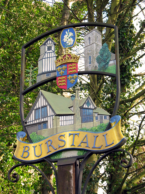
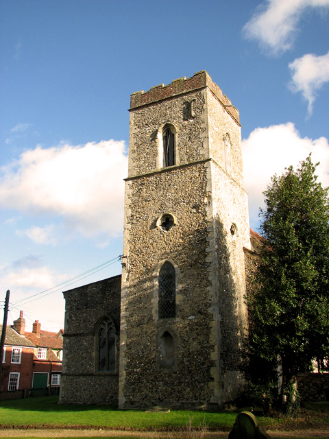
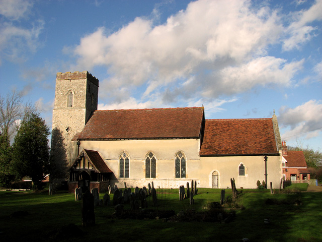
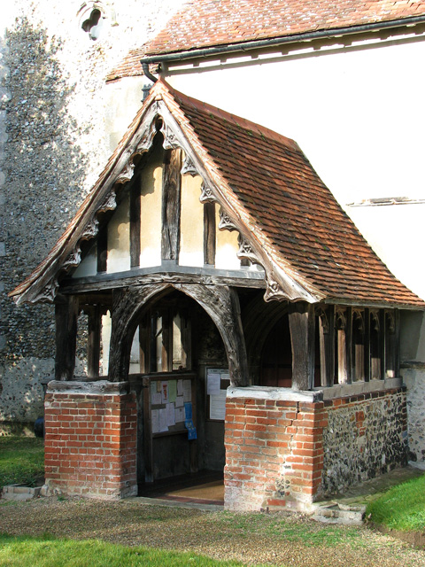
Burstall, Suffolk

Burstall is a village and civil parish in Suffolk, England. Located around 4 miles (6 km) west of Ipswich, it is part of Babergh district. The parish includes...

Silverstone Classic

Silverstone Festival (previously known as Silverstone Classic) is an annual three-day Festival featuring historic motorsport, live music and family-friendly...

Elmsett Park Wood

Elmsett Park Wood is an 8.6-hectare (21-acre) biological Site of Special Scientific Interest east of Elmsett in Suffolk.This coppice with standards site...

Nearby Amenities

Located within 500m of 52.069387,1.041071
Brook
Local Ref: adj
Naptan AtcoCode: 390040313
Naptan Bearing: NW
Naptan BusStopType: CUS
Naptan CommonName: Brook
Naptan Landmark: Flowton Brook
Naptan NaptanCode: sufawmpt
Naptan Street: Flowton Road
Naptan Verified: no
Source: naptan_import
Lat/Long: 52.0690545/1.0390103
Brook
Local Ref: opp
Naptan AtcoCode: 390040314
Naptan Bearing: SE
Naptan BusStopType: CUS
Naptan CommonName: Brook
Naptan Landmark: Flowton Brook
Naptan NaptanCode: sufawmpw
Naptan Street: Flowton Road
Naptan Verified: no
Source: naptan_import
Lat/Long: 52.0691136/1.0391602
Ford: yes
Lat/Long: 52.0705478/1.0407355
Colour: red and white
Marker: aerial
Utility: gas
Lat/Long: 52.068757/1.0421817
Colour: red and white
Marker: aerial
Utility: gas
Lat/Long: 52.068814/1.0421987
The data included in this document is from www.openstreetmap.org. The data is made available under ODbL.

Have you been to Burstallhill?

Leave your review of Burstallhill below (or comments, questions and feedback).