Coed Merchlyn
Wood, Forest in Caernarfonshire
Wales
Coed Merchlyn

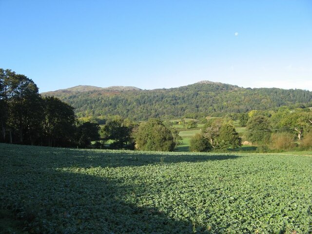
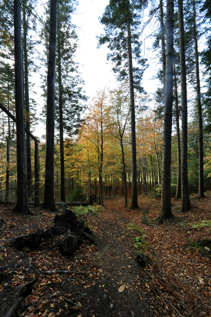
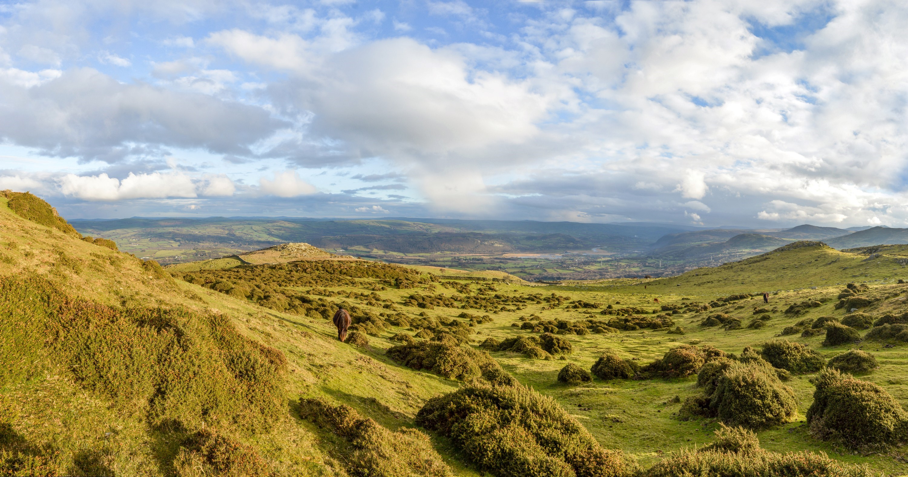
Coed Merchlyn is a beautiful woodland area located in the county of Caernarfonshire, Wales. Spread over an area of approximately 200 acres, this forest is nestled in the stunning Snowdonia National Park. Its name, "Coed Merchlyn," translates to "Wood, Forest" in English, perfectly reflecting the natural beauty and abundance of trees found here.
The forest is home to a diverse range of flora and fauna, making it a haven for nature enthusiasts and wildlife lovers. Walking along the well-maintained trails, visitors can encounter a variety of tree species such as oak, beech, birch, and pine, creating a vibrant tapestry of colors throughout the seasons.
The woodland is also a sanctuary for a multitude of wildlife species. Birdwatchers can spot a range of avian residents, including woodpeckers, owls, and various songbirds. Mammals such as red squirrels, foxes, and badgers can occasionally be spotted by the observant visitor.
Coed Merchlyn offers a peaceful and serene environment, making it an ideal location for outdoor activities. Hiking, picnicking, and photography are popular pastimes for visitors seeking to immerse themselves in the tranquility of nature. The forest is equipped with well-marked trails, ensuring a safe and enjoyable experience for all.
With its picturesque setting, Coed Merchlyn attracts both local residents and tourists alike. Its proximity to the bustling town of Caernarfon makes it a convenient escape for those seeking respite from urban life. Coed Merchlyn truly offers a breathtaking and magical experience, where visitors can connect with nature and appreciate the wonders of Wales' natural landscapes.
If you have any feedback on the listing, please let us know in the comments section below.
Coed Merchlyn Images
Images are sourced within 2km of 53.243258/-3.8526603 or Grid Reference SH7673. Thanks to Geograph Open Source API. All images are credited.


Coed Merchlyn is located at Grid Ref: SH7673 (Lat: 53.243258, Lng: -3.8526603)
Unitary Authority: Conwy
Police Authority: North Wales
What 3 Words
///sling.formed.inventors. Near Conwy
Nearby Locations
Related Wikis

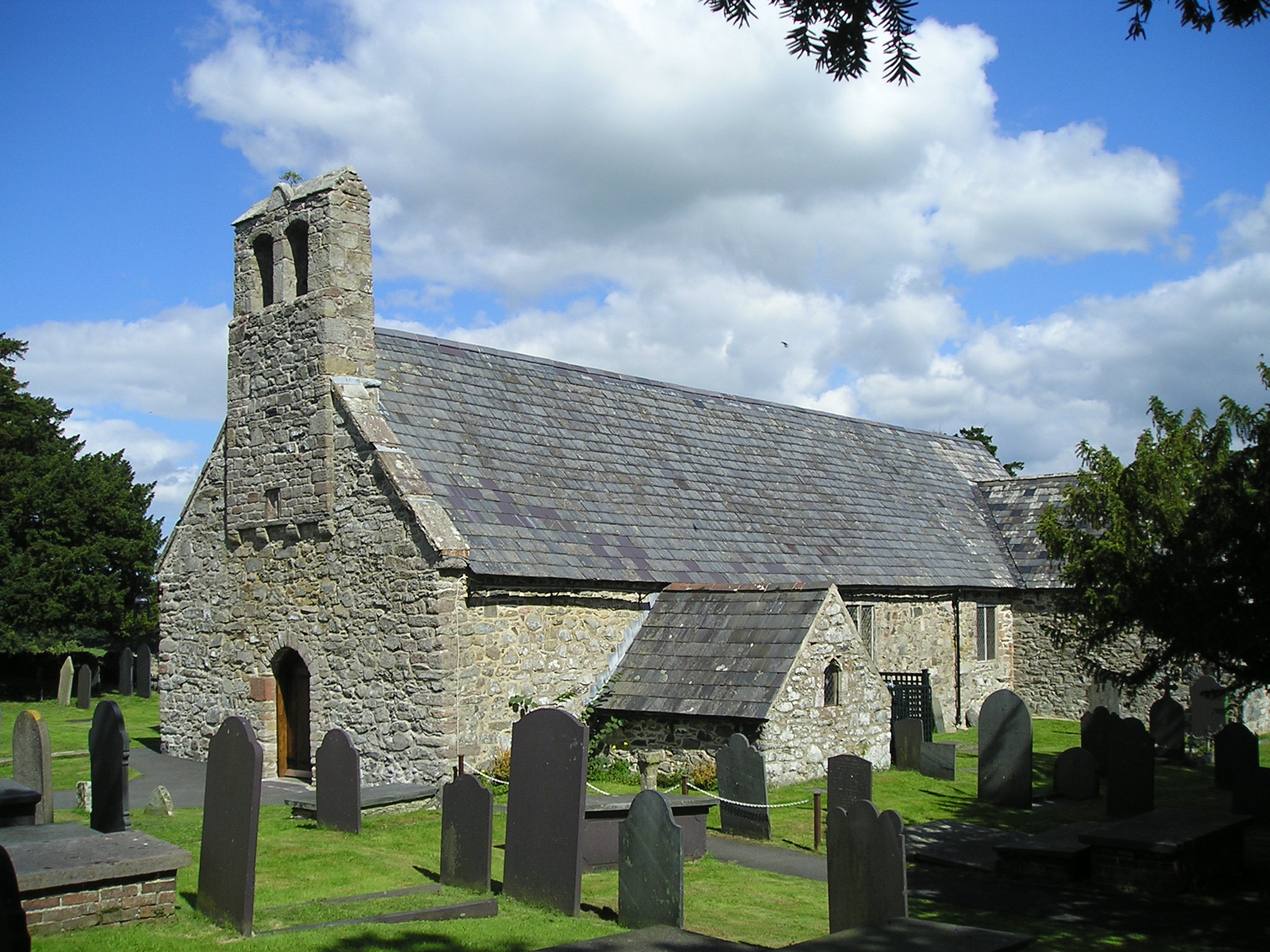
Llangelynnin, Conwy
Llangelynnin (; Welsh for The church of Celynnin) is a former parish in the Conwy valley, in Conwy county borough, north Wales. Today the name exists...
Henryd
Henryd () is a village and community on the western slopes of the Conwy valley in Conwy county borough, north Wales. It lies about 2 miles (3.2 km) south...

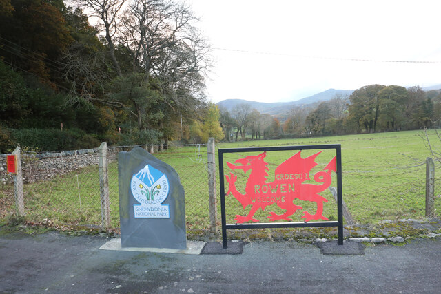
Rowen, Conwy
Rowen is a village on the western slopes of the Conwy valley in the parish of Caerhun and the former County of Caernarfonshire in Wales. It lies off the...
Caer Bach
Caer Bach is a Welsh hillfort of indeterminate age, on a rounded hillock situated near the village of Rowen; in Conwy County, North Wales. Its name in...

Coed Gorswen National Nature Reserve
Coed Gorswen National Nature Reserve lies on the lower slopes of the Conwy Valley, in the vicinity of Rowen and Llanbedr-y-Cennin. Its gentle landscape...
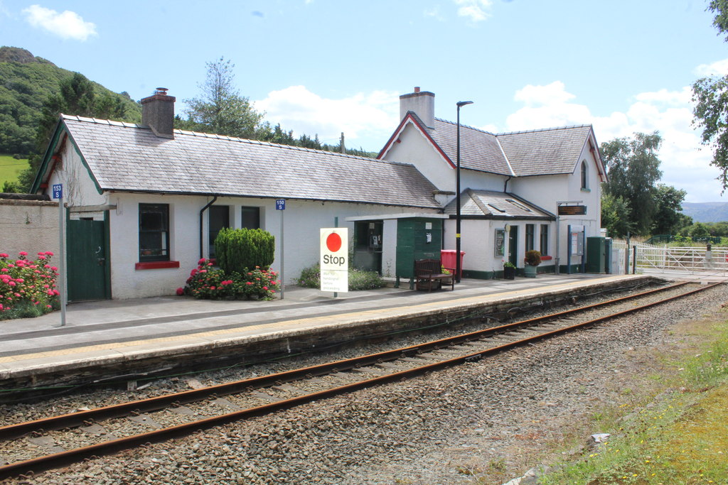
Tal-y-Cafn railway station
Tal-y-Cafn railway station is located at Tal-y-Cafn, Wales, on the Conwy Valley Line from Llandudno Junction to Blaenau Ffestiniog. == History == Until...

Tal-y-Cafn
Tal-y-Cafn (Welsh meaning : "place opposite the ferry-boat") is a small settlement in Conwy county borough, north Wales, in the community of Eglwysbach...
Caerhun
Caerhun (Welsh: Caerhûn) is a scattered rural community, and former civil parish, on the west bank of the River Conwy. It lies to the south of Henryd...
Nearby Amenities
Located within 500m of 53.243258,-3.8526603Have you been to Coed Merchlyn?
Leave your review of Coed Merchlyn below (or comments, questions and feedback).