Coed Gwern-borter
Wood, Forest in Caernarfonshire
Wales
Coed Gwern-borter

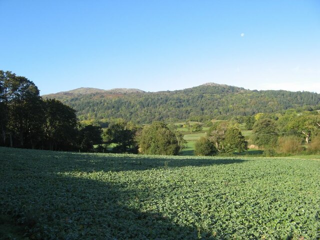
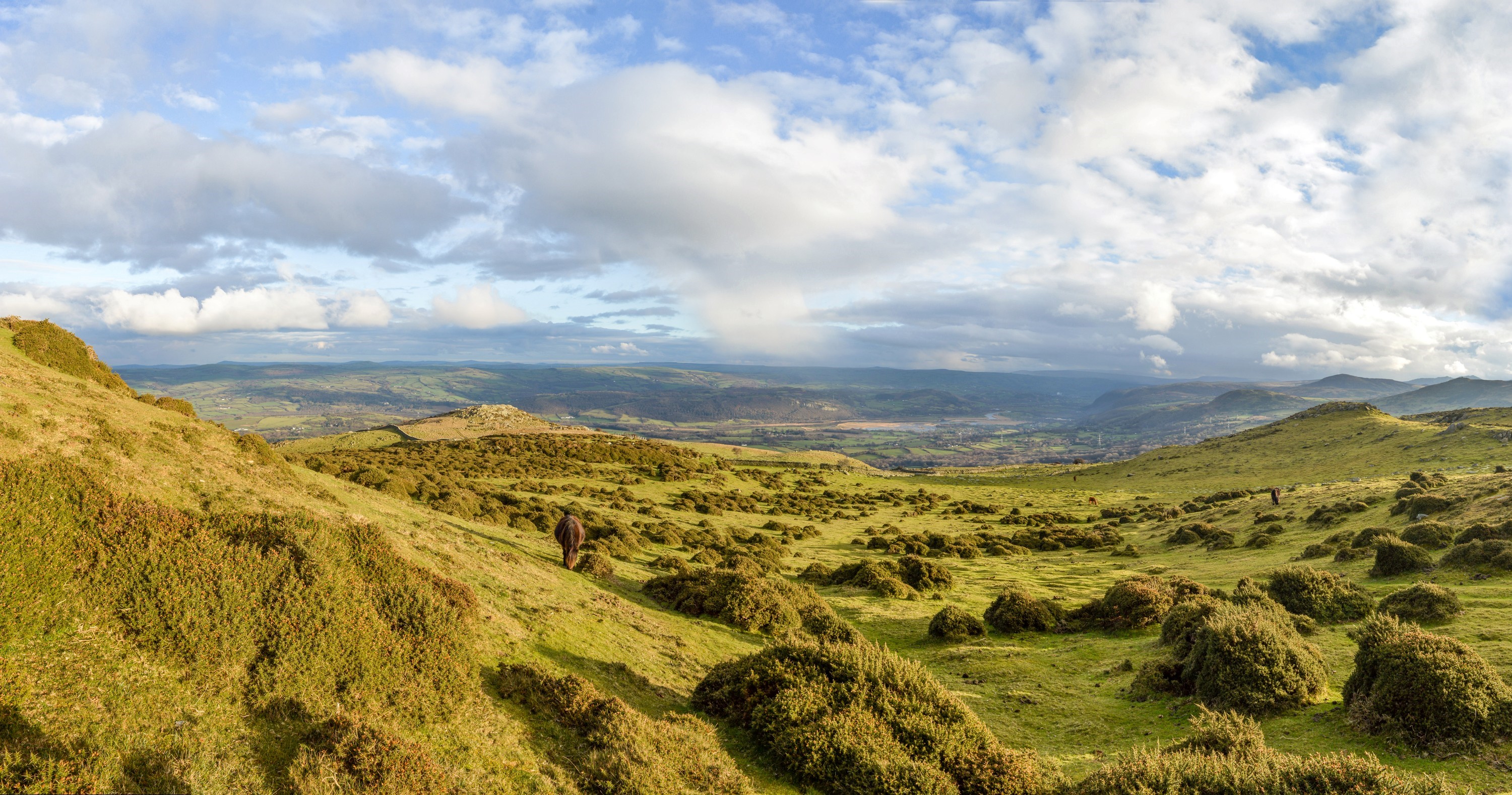
Coed Gwern-borter, located in Caernarfonshire, Wales, is a beautiful woodland area known for its stunning natural scenery and rich biodiversity. Covering an area of approximately 500 acres, this forest is a haven for nature enthusiasts, hikers, and wildlife lovers.
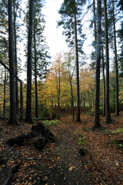
The woodland is primarily composed of native tree species, including oak, beech, and birch, which create a dense canopy that provides shade and shelter for various flora and fauna. The forest floor is adorned with a vibrant carpet of wildflowers, ferns, and mosses, adding to the enchanting atmosphere.
Coed Gwern-borter offers numerous walking trails and footpaths, allowing visitors to explore the woodland at their own pace. The trails wind through the forest, offering breathtaking views of the surrounding landscape and glimpses of native wildlife, such as red squirrels, badgers, and a variety of bird species.
For those interested in history, Coed Gwern-borter also holds archaeological significance. The forest contains ancient remains, including burial mounds and standing stones, providing a glimpse into the area's past.
The woodland is well-maintained, with designated picnic areas and benches strategically placed for visitors to relax and enjoy the tranquil surroundings. There are also educational signs throughout the forest, offering insights into the local flora and fauna, making it an ideal destination for families and nature enthusiasts alike.
Coed Gwern-borter is a true gem of Caernarfonshire, offering a serene escape from the hustle and bustle of modern life. It is a place where visitors can immerse themselves in the beauty of nature and experience the wonders of a pristine woodland ecosystem.
If you have any feedback on the listing, please let us know in the comments section below.
Coed Gwern-borter Images
Images are sourced within 2km of 53.241692/-3.8551103 or Grid Reference SH7673. Thanks to Geograph Open Source API. All images are credited.


Coed Gwern-borter is located at Grid Ref: SH7673 (Lat: 53.241692, Lng: -3.8551103)
Unitary Authority: Conwy
Police Authority: North Wales
What 3 Words
///paid.windpipe.lurching. Near Conwy
Nearby Locations
Related Wikis

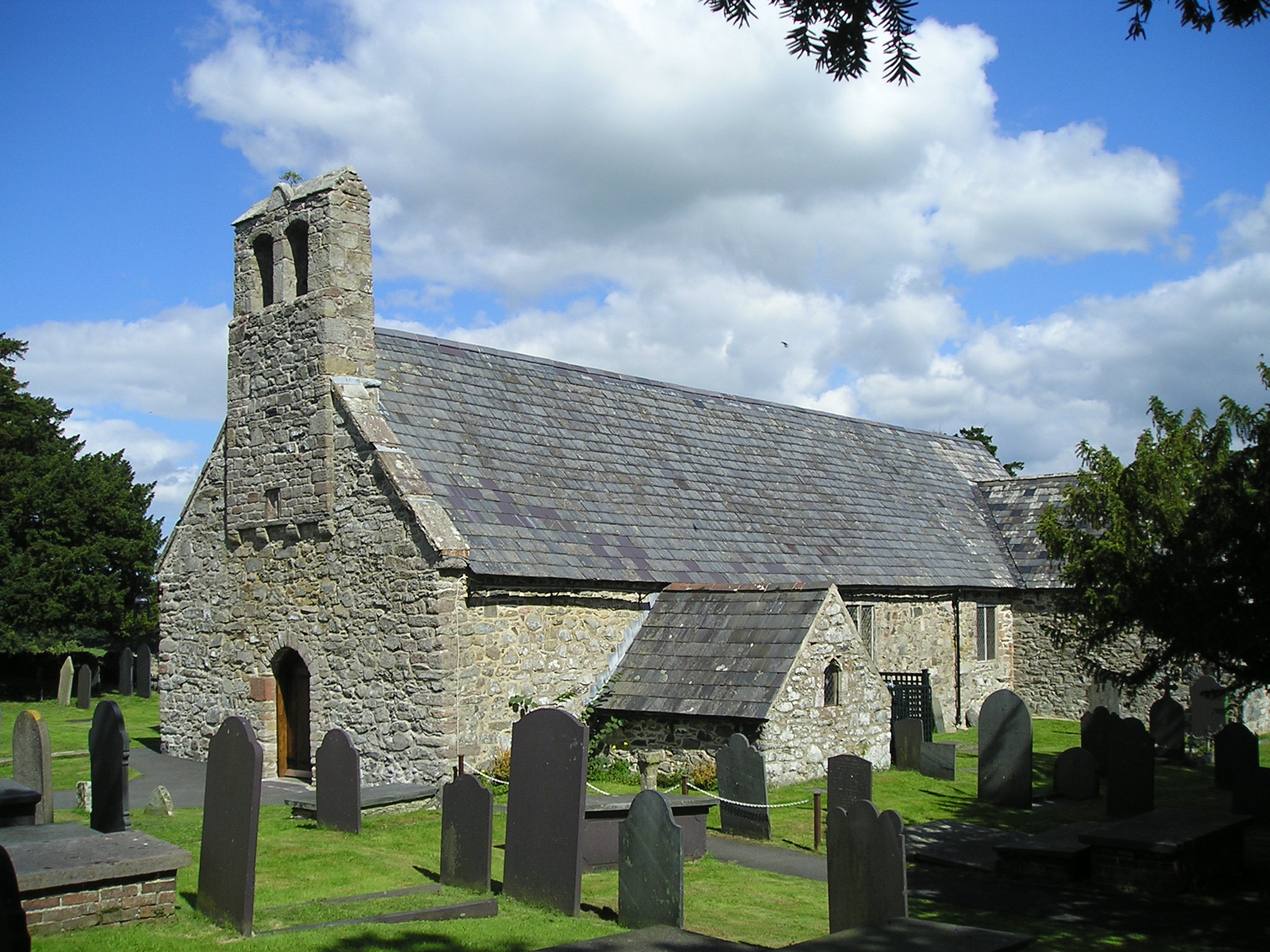
Llangelynnin, Conwy
Llangelynnin (; Welsh for The church of Celynnin) is a former parish in the Conwy valley, in Conwy county borough, north Wales. Today the name exists...

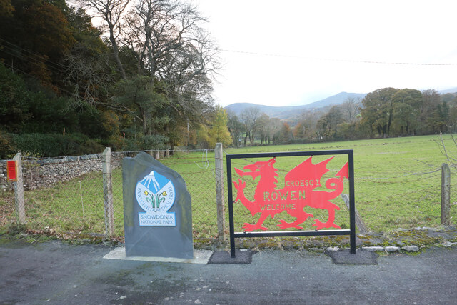
Rowen, Conwy
Rowen is a village on the western slopes of the Conwy valley in the parish of Caerhun and the former County of Caernarfonshire in Wales. It lies off the...
Henryd
Henryd () is a village and community on the western slopes of the Conwy valley in Conwy county borough, north Wales. It lies about 2 miles (3.2 km) south...
Caer Bach
Caer Bach is a Welsh hillfort of indeterminate age, on a rounded hillock situated near the village of Rowen; in Conwy County, North Wales. Its name in...

Coed Gorswen National Nature Reserve
Coed Gorswen National Nature Reserve lies on the lower slopes of the Conwy Valley, in the vicinity of Rowen and Llanbedr-y-Cennin. Its gentle landscape...
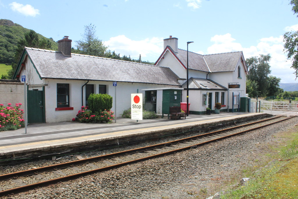
Tal-y-Cafn railway station
Tal-y-Cafn railway station is located at Tal-y-Cafn, Wales, on the Conwy Valley Line from Llandudno Junction to Blaenau Ffestiniog. == History == Until...

Tal-y-Cafn
Tal-y-Cafn (Welsh meaning : "place opposite the ferry-boat") is a small settlement in Conwy county borough, north Wales, in the community of Eglwysbach...
Caerhun
Caerhun (Welsh: Caerhûn) is a scattered rural community, and former civil parish, on the west bank of the River Conwy. It lies to the south of Henryd...
Nearby Amenities
Located within 500m of 53.241692,-3.8551103Have you been to Coed Gwern-borter?
Leave your review of Coed Gwern-borter below (or comments, questions and feedback).