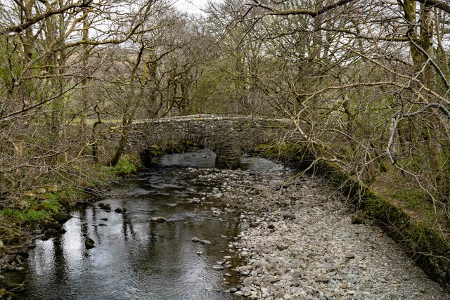
Coed Tŷ-glas
Wood, Forest in Merionethshire
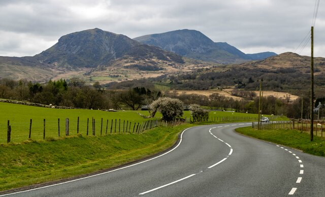
Wales
Coed Tŷ-glas
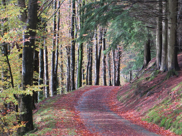
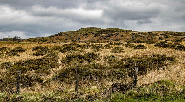
Coed Tŷ-glas, located in the county of Merionethshire, is a beautiful and enchanting woodland area. Its name, which translates to "Wood, Forest" in English, perfectly captures the essence of this natural wonder. Spanning approximately 200 hectares, Coed Tŷ-glas is a haven for flora and fauna, offering a diverse range of habitats for various species.
The woodland is predominantly composed of native trees, including oak, birch, and beech, creating a rich and vibrant ecosystem. The forest floor is adorned with a carpet of wildflowers, such as bluebells and primroses, adding bursts of color to the landscape during springtime.
Coed Tŷ-glas is home to a plethora of wildlife, with numerous species finding sanctuary within its boundaries. Bird enthusiasts can enjoy spotting a variety of species, including woodpeckers, owls, and songbirds. The woodland also provides shelter for mammals like foxes, badgers, and squirrels.
Visitors to Coed Tŷ-glas can explore its many walking trails, which wind through the woodland, offering breathtaking views and opportunities for quiet contemplation. The tranquil atmosphere and fresh air make it an ideal spot for nature lovers, hikers, and those seeking a peaceful escape from the hustle and bustle of everyday life.
Managed by a dedicated team of conservationists, Coed Tŷ-glas is protected and carefully maintained to preserve its natural integrity. The woodland serves as a valuable educational resource, with guided tours and workshops available to teach visitors about the importance of woodland conservation and biodiversity.
In conclusion, Coed Tŷ-glas is a captivating woodland area nestled in Merionethshire, offering a haven for wildlife and a tranquil retreat for those seeking solace in nature.
If you have any feedback on the listing, please let us know in the comments section below.
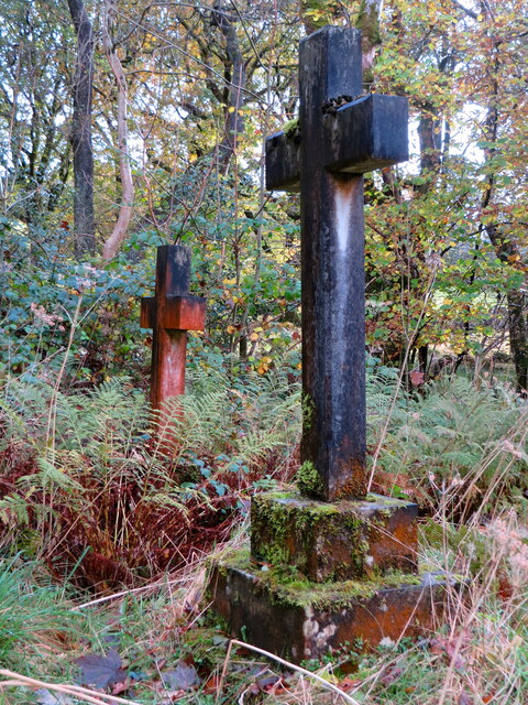
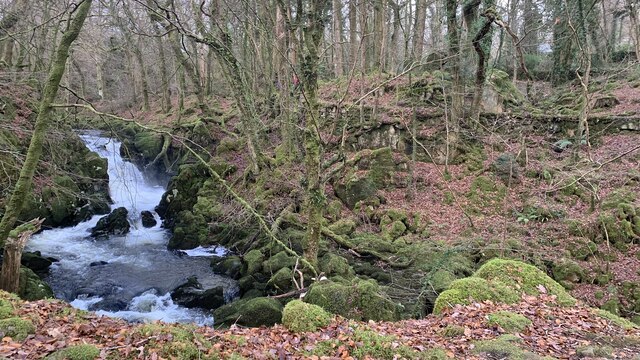
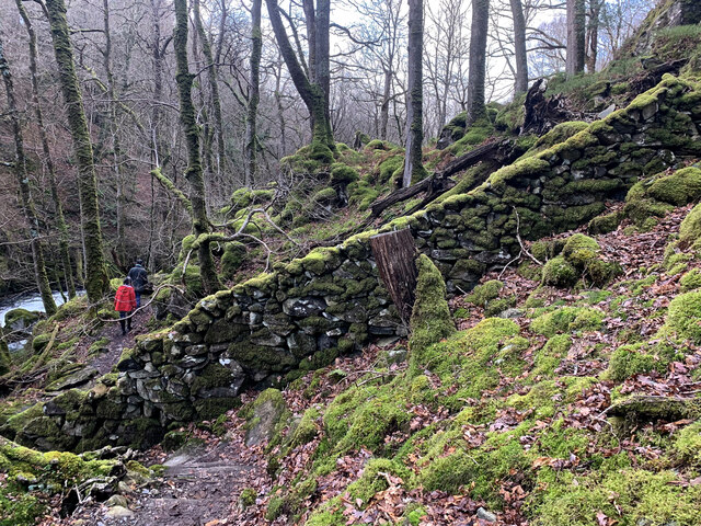
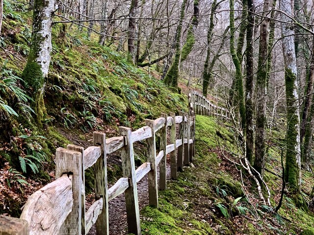
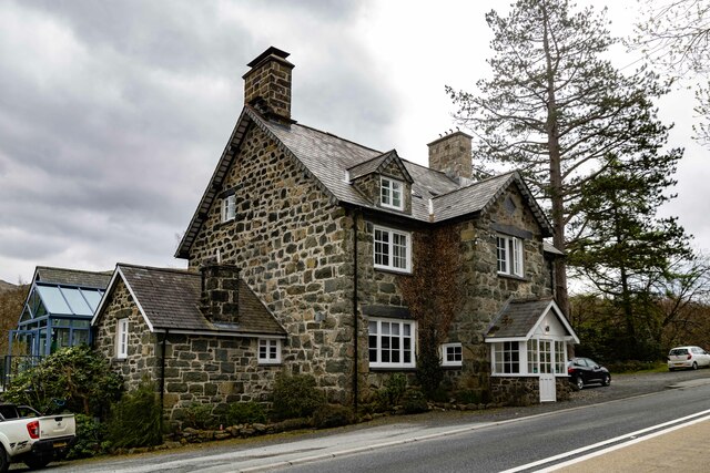
Coed Tŷ-glas Images
Images are sourced within 2km of 52.748126/-3.8330018 or Grid Reference SH7618. Thanks to Geograph Open Source API. All images are credited.


Coed Tŷ-glas is located at Grid Ref: SH7618 (Lat: 52.748126, Lng: -3.8330018)
Unitary Authority: Gwynedd
Police Authority: North Wales
What 3 Words
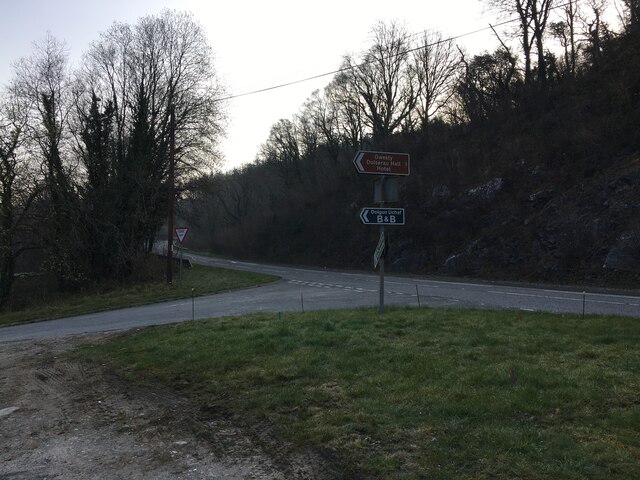
///evolves.tourist.growl. Near Dolgellau, Gwynedd
Nearby Locations
Related Wikis

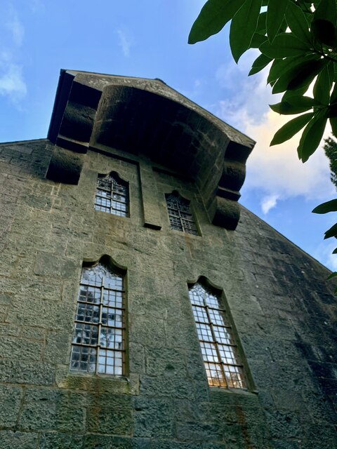
St Mark's Church, Brithdir
St Mark's Church, Brithdir, is a redundant church in the hamlet of Brithdir, Gwynedd, Wales. It is designated by Cadw as a Grade I listed building, and...
Brithdir, Gwynedd
Brithdir is a small hamlet on the outskirts of Dolgellau, Gwynedd in the community of Brithdir and Llanfachreth. The Arts and Crafts Movement St Mark's...

Meirionnydd
Meirionnydd is a coastal and mountainous region of Wales. It has been a kingdom, a cantref, a district and, as Merionethshire, a county. == Kingdom... ==

Dolserau Halt railway station
Dolserau Halt (Pron: Dol-seh-rye) in Gwynedd, Wales, was on the Ruabon to Barmouth line. The platform edge was made of timber and was situated on the north...
Nearby Amenities
Located within 500m of 52.748126,-3.8330018Have you been to Coed Tŷ-glas?
Leave your review of Coed Tŷ-glas below (or comments, questions and feedback).