Coed Cynan
Wood, Forest in Merionethshire
Wales
Coed Cynan
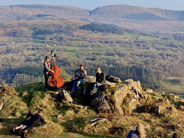
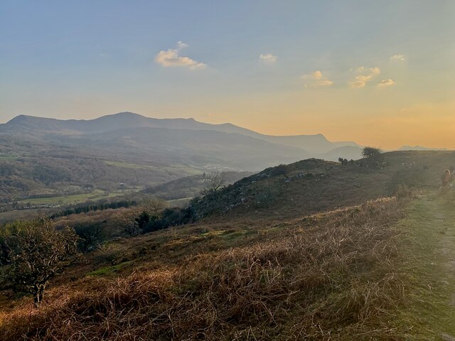
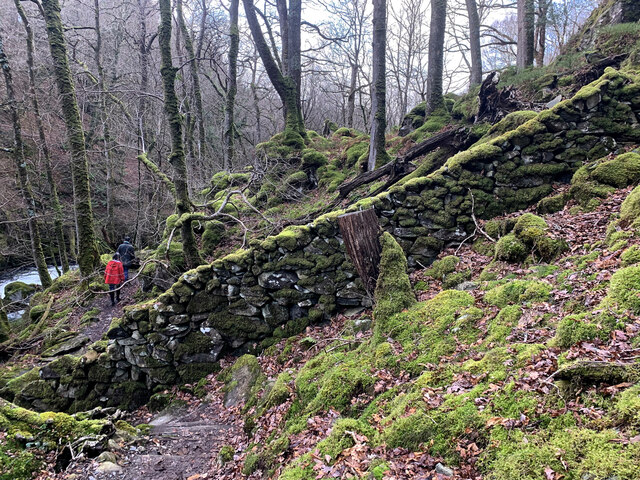
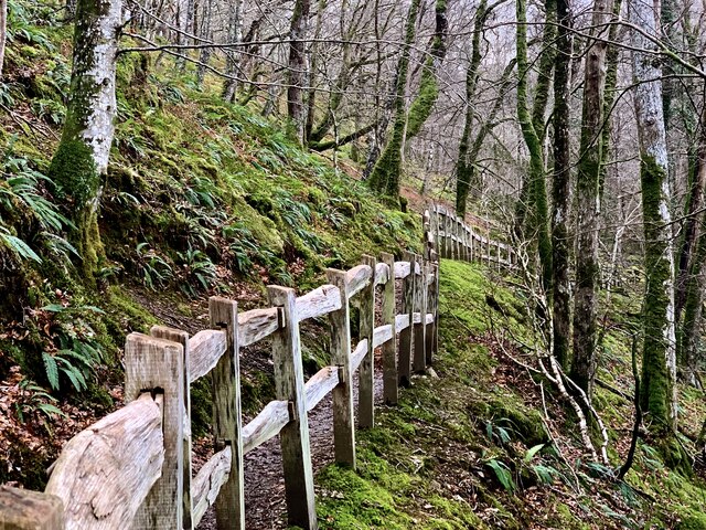
Coed Cynan, located in Merionethshire, Wales, is a picturesque wood or forest that covers a significant area of land. The name "Coed Cynan" translates to "Wood, Forest" in English, which aptly describes the natural landscape it encompasses. It is situated in a rural area, surrounded by rolling hills and valleys, adding to its charm and tranquility.
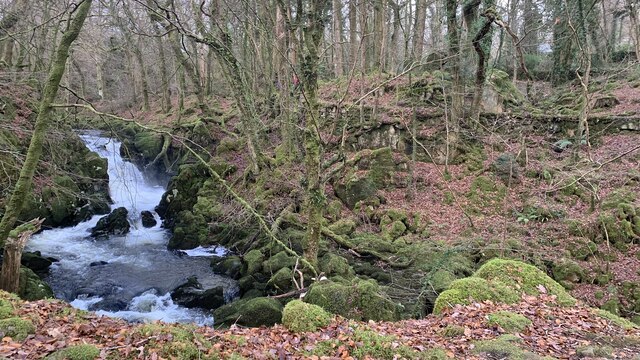
The forest is known for its diverse range of tree species, including oak, beech, pine, and birch, creating a rich and vibrant ecosystem. The lush greenery and dense foliage provide a haven for various wildlife, making it a popular spot for nature enthusiasts and birdwatchers.
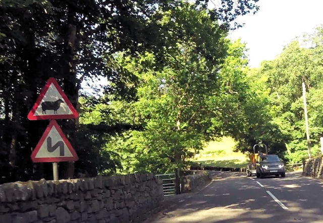
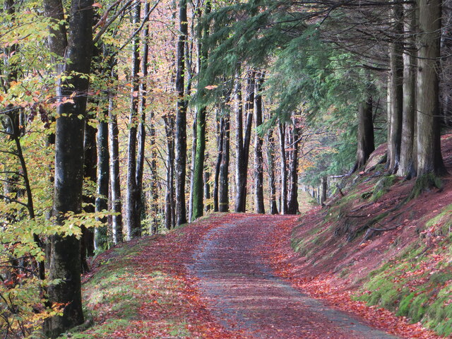
Coed Cynan offers visitors numerous recreational activities and opportunities for exploration. There are well-maintained walking trails that wind through the forest, allowing visitors to immerse themselves in the beauty of nature. These paths vary in difficulty, catering to both casual strollers and avid hikers.
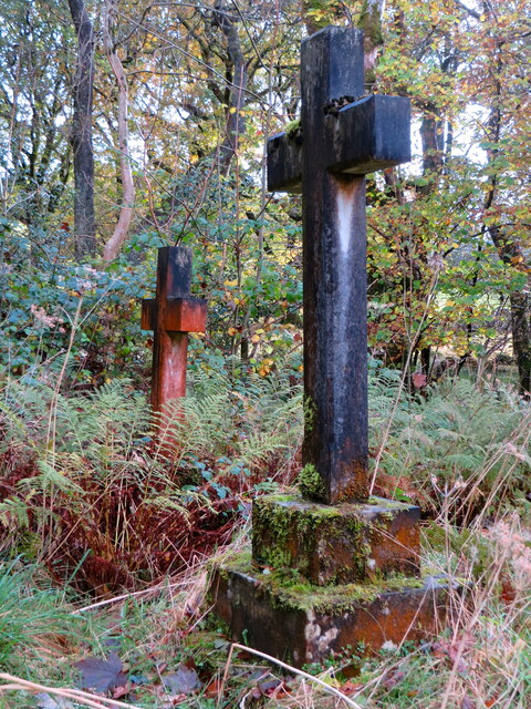
In addition to its natural beauty, Coed Cynan also has historical significance. It is believed that the forest has been in existence for centuries, and remnants of ancient settlements and structures can still be found within its boundaries. These archaeological sites offer a glimpse into the past and provide valuable insights into the region's history.
Coed Cynan is a cherished natural treasure, offering a serene escape from the hustle and bustle of everyday life. Whether visitors seek solitude, recreation, or a deeper connection with nature, this forest in Merionethshire provides a sanctuary for all who venture into its embrace.
If you have any feedback on the listing, please let us know in the comments section below.
Coed Cynan Images
Images are sourced within 2km of 52.756508/-3.8340355 or Grid Reference SH7619. Thanks to Geograph Open Source API. All images are credited.


Coed Cynan is located at Grid Ref: SH7619 (Lat: 52.756508, Lng: -3.8340355)
Unitary Authority: Gwynedd
Police Authority: North Wales
What 3 Words
///reserves.marmalade.thrillers. Near Dolgellau, Gwynedd
Nearby Locations
Related Wikis

Meirionnydd
Meirionnydd is a coastal and mountainous region of Wales. It has been a kingdom, a cantref, a district and, as Merionethshire, a county. == Kingdom... ==

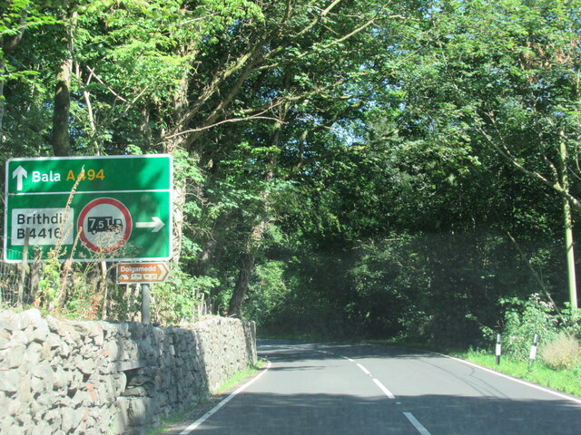
Brithdir, Gwynedd
Brithdir is a small hamlet on the outskirts of Dolgellau, Gwynedd in the community of Brithdir and Llanfachreth. The Arts and Crafts Movement St Mark's...
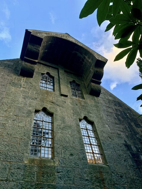
St Mark's Church, Brithdir
St Mark's Church, Brithdir, is a redundant church in the hamlet of Brithdir, Gwynedd, Wales. It is designated by Cadw as a Grade I listed building, and...

Dolserau Halt railway station
Dolserau Halt (Pron: Dol-seh-rye) in Gwynedd, Wales, was on the Ruabon to Barmouth line. The platform edge was made of timber and was situated on the north...
Nearby Amenities
Located within 500m of 52.756508,-3.8340355Have you been to Coed Cynan?
Leave your review of Coed Cynan below (or comments, questions and feedback).