Coed Maesyrhelmau
Wood, Forest in Merionethshire
Wales
Coed Maesyrhelmau
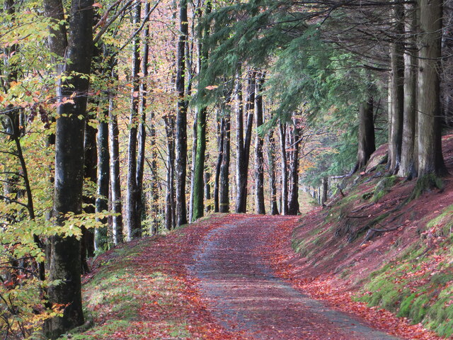
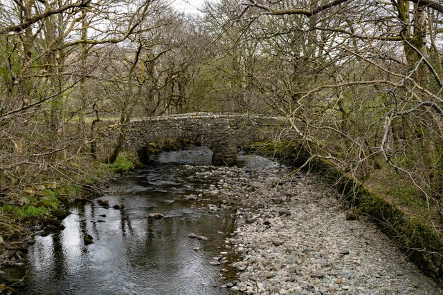
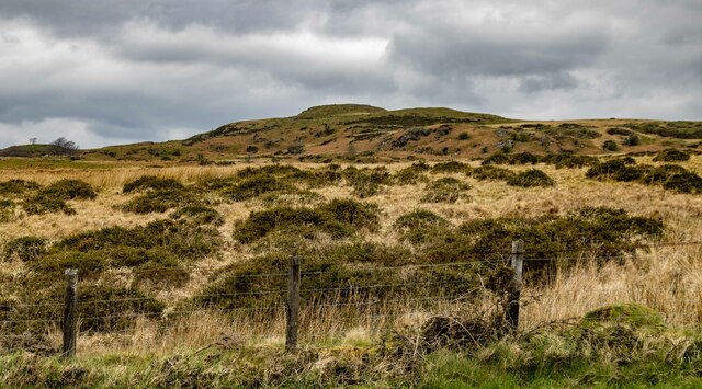
Coed Maesyrhelmau is a beautiful woodland located in the county of Merionethshire, Wales. Covering an area of approximately 500 acres, this forest is a haven for nature lovers and outdoor enthusiasts. The wood is situated near the village of Bala, surrounded by the stunning landscape of the Snowdonia National Park.
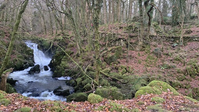
The forest is predominantly composed of native trees such as oak, birch, and rowan, creating a diverse and vibrant ecosystem. These trees provide a habitat for a variety of wildlife, including birds, deer, and small mammals. The woodland floor is adorned with an array of wildflowers and ferns, adding to the enchanting atmosphere of the area.
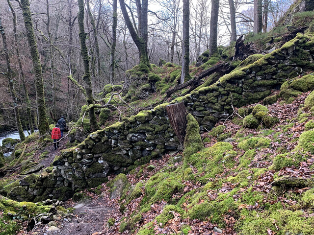
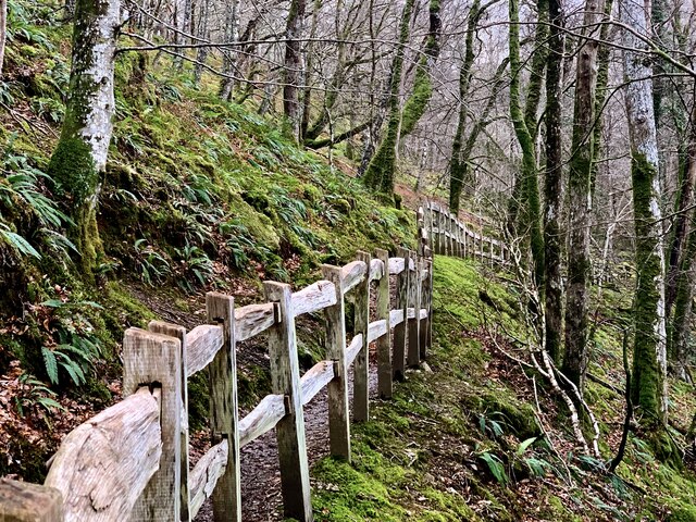
Coed Maesyrhelmau offers several well-maintained walking trails, allowing visitors to explore the forest and immerse themselves in its natural beauty. These trails range in difficulty, catering to both casual walkers and more experienced hikers. Along the paths, visitors can enjoy breathtaking views of the surrounding countryside and appreciate the tranquility of the woodland.
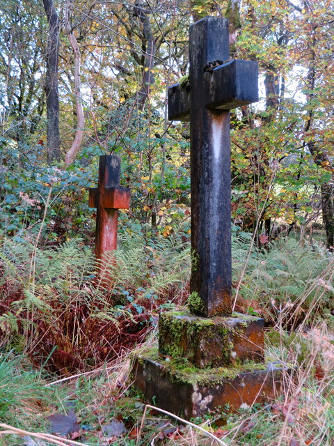
For those interested in history, Coed Maesyrhelmau also contains historical remains, including the ruins of an old lead mine. These remnants serve as a reminder of the area's industrial past and provide an intriguing glimpse into the region's heritage.
Overall, Coed Maesyrhelmau is a hidden gem in Merionethshire, offering a peaceful retreat for nature enthusiasts. Whether it's a leisurely walk or a chance to observe wildlife, this woodland provides a captivating experience for all who venture into its depths.
If you have any feedback on the listing, please let us know in the comments section below.
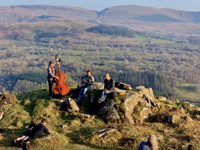
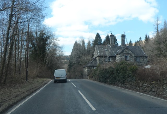
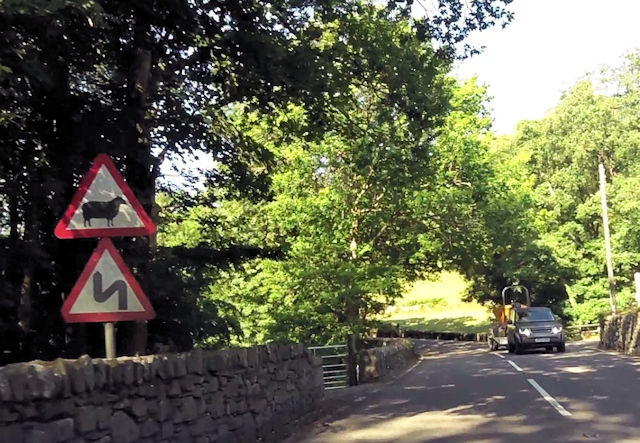
Coed Maesyrhelmau Images
Images are sourced within 2km of 52.748763/-3.8424074 or Grid Reference SH7518. Thanks to Geograph Open Source API. All images are credited.


Coed Maesyrhelmau is located at Grid Ref: SH7518 (Lat: 52.748763, Lng: -3.8424074)
Unitary Authority: Gwynedd
Police Authority: North Wales
What 3 Words
///tomorrow.obtain.cost. Near Dolgellau, Gwynedd
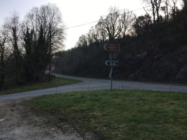
Nearby Locations
Related Wikis

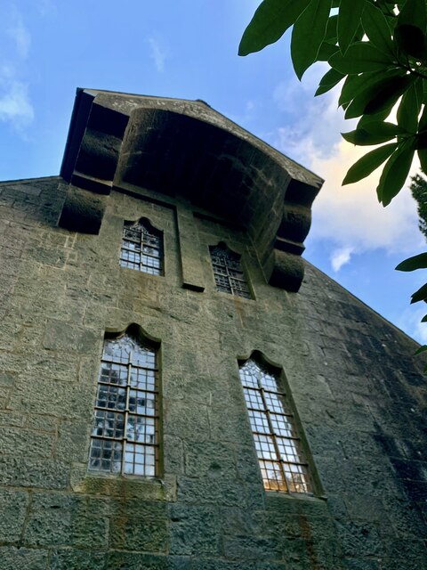
St Mark's Church, Brithdir
St Mark's Church, Brithdir, is a redundant church in the hamlet of Brithdir, Gwynedd, Wales. It is designated by Cadw as a Grade I listed building, and...

Meirionnydd
Meirionnydd is a coastal and mountainous region of Wales. It has been a kingdom, a cantref, a district and, as Merionethshire, a county. == Kingdom... ==

Dolserau Halt railway station
Dolserau Halt (Pron: Dol-seh-rye) in Gwynedd, Wales, was on the Ruabon to Barmouth line. The platform edge was made of timber and was situated on the north...
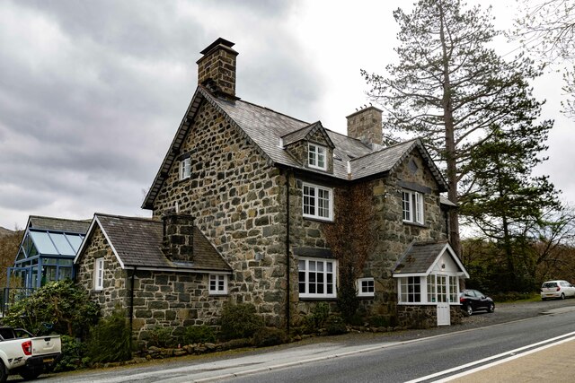
Brithdir, Gwynedd
Brithdir is a small hamlet on the outskirts of Dolgellau, Gwynedd in the community of Brithdir and Llanfachreth. The Arts and Crafts Movement St Mark's...
Nearby Amenities
Located within 500m of 52.748763,-3.8424074Have you been to Coed Maesyrhelmau?
Leave your review of Coed Maesyrhelmau below (or comments, questions and feedback).