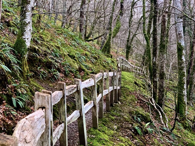
Coed Graig-wen

Wood, Forest in Merionethshire

Wales

Coed Graig-wen

EuroSpar car park in Dolgellau
EuroSpar car park in Dolgellau Credit: John H Darch

The requested URL returned error: 429 Too Many Requests

If you have any feedback on the listing, please let us know in the comments section below.

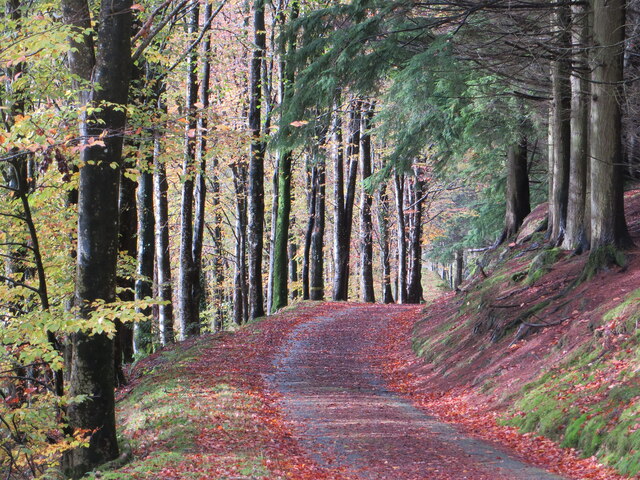
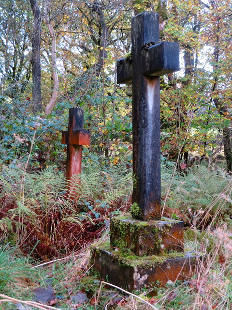
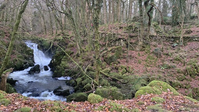
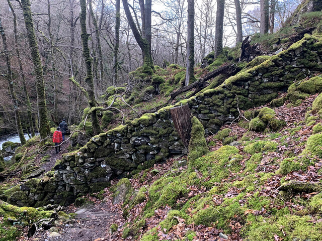
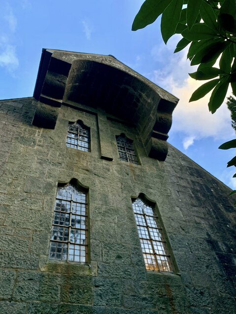
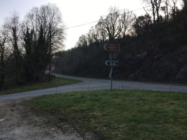
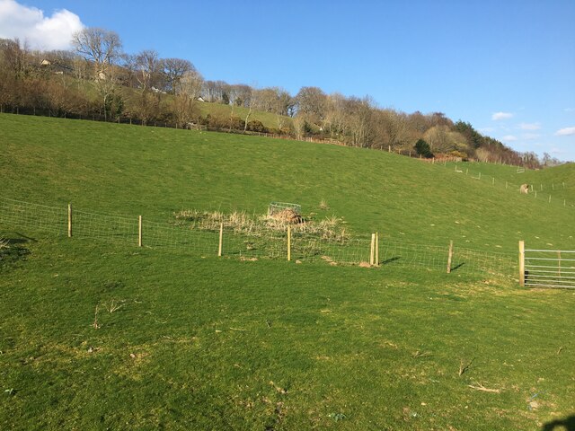
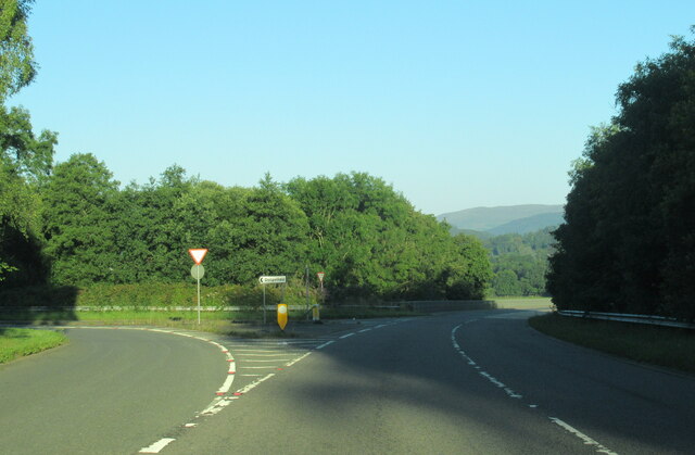
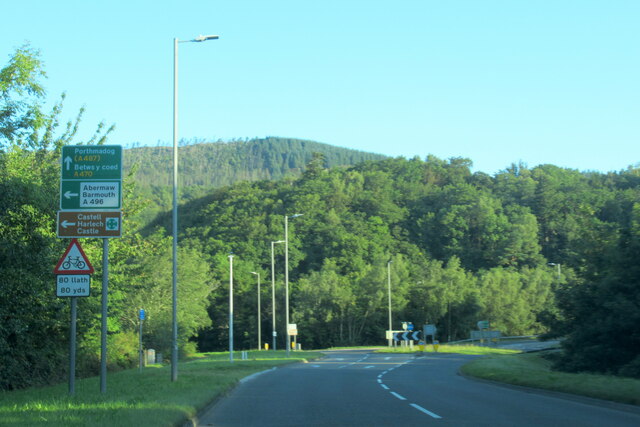
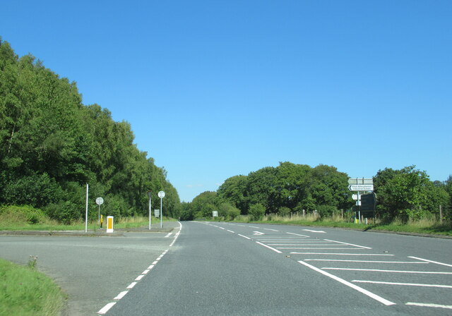
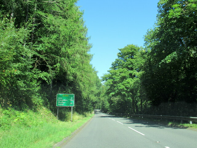
Coed Graig-wen Images

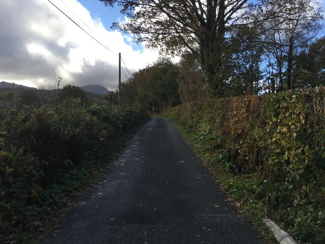
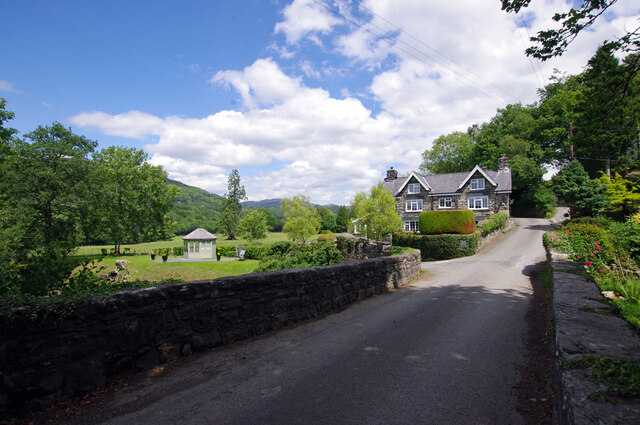
Images are sourced within 2km of 52.7458/-3.8513791 or Grid Reference SH7518. Thanks to Geograph Open Source API. All images are credited.

EuroSpar car park in Dolgellau
Llywbr uwchben afon Clywedog / Track above the Torrent Walk
Mynwent eglwys Brithdir / graves at Brithdir church
Llwybr y Torrent newydd From the new footpath on the western side of the Afon Clywedog, looking over to the old path running along the retaining wall.  It means that the Torrent Walk is now a spectacular circular.
Llwybr y Torrent newydd
From the new footpath on the western side of the Afon Clywedog, looking over to the old path running along the retaining wall. It means that the Torrent Walk is now a spectacular circular.
Llwybr newydd, Llwybr y Torrent A wonderful new path has been opened on the opposite side of the Afon Clywedog from the longstanding Torrent Walk. Here it meets and crosses an old wall of the Caerynwch estate.
Llwybr newydd, Llwybr y Torrent
A wonderful new path has been opened on the opposite side of the Afon Clywedog from the longstanding Torrent Walk. Here it meets and crosses an old wall of the Caerynwch estate.
Llwybr newydd, Llwybr y Torrent The new track of the Torrent Walk, with some beautiful fencing.
Llwybr newydd, Llwybr y Torrent
The new track of the Torrent Walk, with some beautiful fencing.
Eglwys Brithdir The stark west wall of St Mark's church, the Arts & Crafts masterpiece built at the very end of the nineteenth century. A massive stone hood hangs over a raised cross.
Eglwys Brithdir
The stark west wall of St Mark's church, the Arts & Crafts masterpiece built at the very end of the nineteenth century. A massive stone hood hangs over a raised cross.
Road junction near Dolgellau
Field near Dolgellau Mart
Farm Track, Path and Gated Fields near Brithdir
The A470 near Dolgellau at Arran Road turning
The A470 at Dolgellau at  A494 island
The A470 at Dolgellau at A494 island
The A494 north at turning for Industrial Estate
The A494 north, 17 miles to Bala
Ordnance Survey Cut Mark This OS cut mark can be found on the wall south side of the road. It marks a point 13.149m above mean sea level.
Ordnance Survey Cut Mark
This OS cut mark can be found on the wall south side of the road. It marks a point 13.149m above mean sea level.
Minor road near Dolgellau
Building under construction, Mile End Service Station
Pont Clywedog The bridge carries what is now a minor road up the Wnion valley over the Afon Clywedog. The house was a lodge for Dolserau Hall.
Pont Clywedog
The bridge carries what is now a minor road up the Wnion valley over the Afon Clywedog. The house was a lodge for Dolserau Hall.
Show me another place!

Coed Graig-wen is located at Grid Ref: SH7518 (Lat: 52.7458, Lng: -3.8513791)

Unitary Authority: Gwynedd

Police Authority: North Wales

What 3 Words

///nervy.afflicted.cyclones. Near Dolgellau, Gwynedd

Related Wikis

St Mark's Church, Brithdir

St Mark's Church, Brithdir, is a redundant church in the hamlet of Brithdir, Gwynedd, Wales. It is designated by Cadw as a Grade I listed building, and...

Dolserau Halt railway station

Dolserau Halt (Pron: Dol-seh-rye) in Gwynedd, Wales, was on the Ruabon to Barmouth line. The platform edge was made of timber and was situated on the north...

Meirionnydd

Meirionnydd is a coastal and mountainous region of Wales. It has been a kingdom, a cantref, a district and, as Merionethshire, a county. == Kingdom... ==

Dolgelley power station

Dolgelley or Dolgellau power station was a combined diesel and hydroelectric generating station. It provided electricity to the town of Dolgellau, Gwynedd...

Nearby Amenities

Located within 500m of 52.7458,-3.8513791
Parking
Parking: street_side
Lat/Long: 52.7485062/-3.853845
Place: farm
Lat/Long: 52.7455491/-3.8439726
Power: pole
Lat/Long: 52.750162/-3.8531837
Power: pole
Lat/Long: 52.7497691/-3.85405
Power: pole
Lat/Long: 52.7492219/-3.8553107
Power: pole
Lat/Long: 52.7485839/-3.8565579
Direction: S
Generator Method: photovoltaic
Generator Output Electricity: yes
Generator Solar Modules: 12
Generator Source: solar
Generator Type: solar_photovoltaic_panel
Location: roof
Power: generator
Lat/Long: 52.7455664/-3.8442492
The data included in this document is from www.openstreetmap.org. The data is made available under ODbL.

Have you been to Coed Graig-wen?

Leave your review of Coed Graig-wen below (or comments, questions and feedback).