Coed Llwyn-gwern

Wood, Forest in Montgomeryshire

Wales

Coed Llwyn-gwern

Hairpin bend, forestry road, Dovey Forest
Hairpin bend, forestry road, Dovey Forest Credit: Steven Brown

The requested URL returned error: 429 Too Many Requests

If you have any feedback on the listing, please let us know in the comments section below.

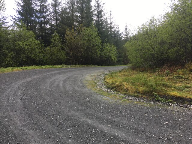
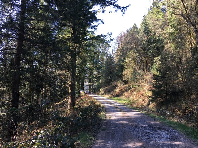
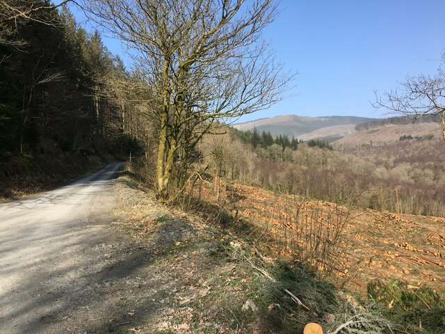
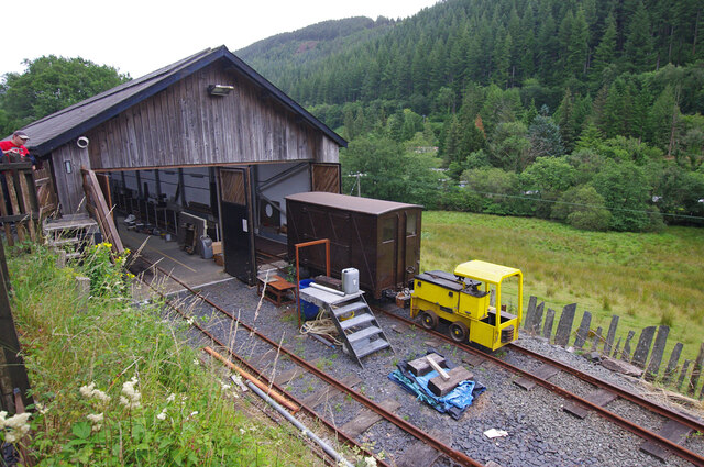
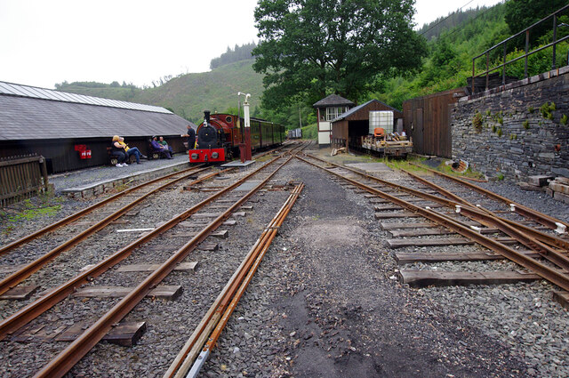
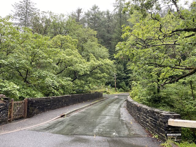
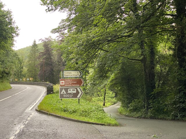
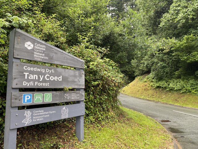
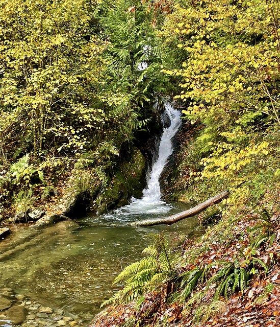
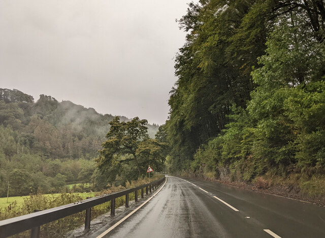
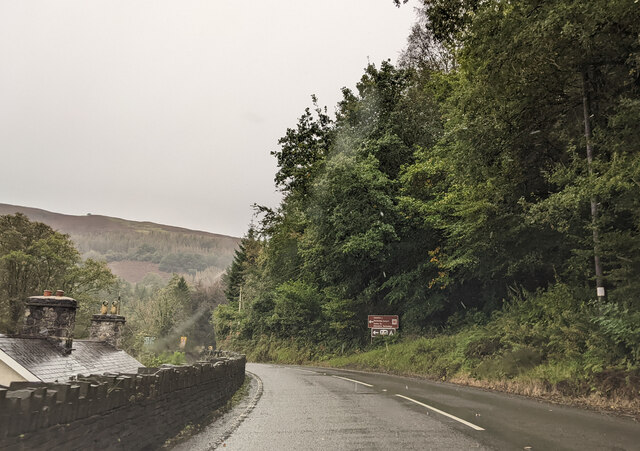
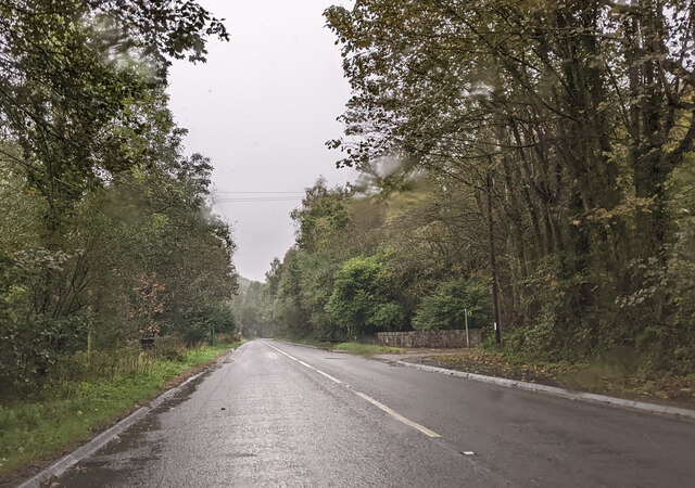
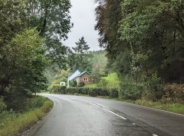
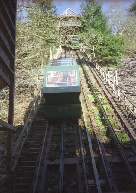
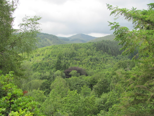
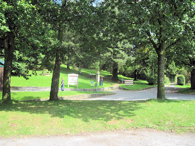
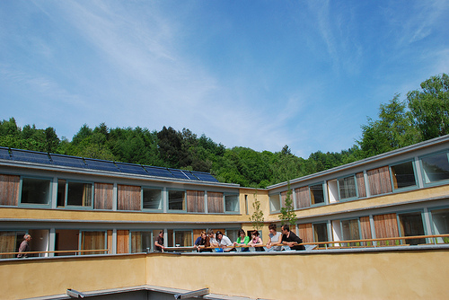
Coed Llwyn-gwern Images

Images are sourced within 2km of 52.627458/-3.841813 or Grid Reference SH7504. Thanks to Geograph Open Source API. All images are credited.

Hairpin bend, forestry road, Dovey Forest
Forestry road, Pantperthog
Forestry, Pantperthog
Corris Railway carriage shed, Maespoeth Junction Built 2006-9 by/for the Corris Railway preservation group. The yellow vehicle is a Clayton battery electric locomotive.
Corris Railway carriage shed, Maespoeth Junction
Built 2006-9 by/for the Corris Railway preservation group. The yellow vehicle is a Clayton battery electric locomotive.
Maespoeth Junction, Corris Railway This is currently the southern limit of public services on the line. The local council has imposed a planning constraint, due to the lack of parking on the adjacent A487. Passengers can only purchase return tickets from Corris, although they may get off the train at Maespoeth.
Maespoeth Junction, Corris Railway
This is currently the southern limit of public services on the line. The local council has imposed a planning constraint, due to the lack of parking on the adjacent A487. Passengers can only purchase return tickets from Corris, although they may get off the train at Maespoeth.
Pont Evans Bridge over Afon Dulas.
Pont Evans
Bridge over Afon Dulas.
Turning towards the Centre for Alternative Technology
Entrance to Tan y Coed
Pistyll Nant Cwmcadian The little water shoot on the Nant Cwmcadian is approached from above by a path hewn through the rock.
Pistyll Nant Cwmcadian
The little water shoot on the Nant Cwmcadian is approached from above by a path hewn through the rock.
Heading south on the A487
Sign for the Centre for Alternative Technology, on the A487
Heading south on the A487 in heavy rain
House by the side of the A487
CAT funicular The water balanced cliff railway at the Centre for Alternative Technology based in a former slate quarry.
CAT funicular
The water balanced cliff railway at the Centre for Alternative Technology based in a former slate quarry.
View from Centre For Alternative Technology Showing part of the Dyfi forest.
View from Centre For Alternative Technology
Showing part of the Dyfi forest.
Tan Y Coed picnic site
Entrance to Tan y Coed from A487
A487 at Pantperthog From the layby showing Phone box
A487 at Pantperthog
From the layby showing Phone box
Show me another place!

Coed Llwyn-gwern is located at Grid Ref: SH7504 (Lat: 52.627458, Lng: -3.841813)

Unitary Authority: Powys

Police Authority: Dyfed Powys

What 3 Words

///pint.novelists.equipping. Near Corris, Gwynedd

Related Wikis

Llwyngwern quarry

The Llwyngwern quarry (sometimes known as Glandulas quarry or Maglona quarry) was a slate quarry in Wales that opened by 1828 and continued working until...

Centre for Alternative Technology Railway

The Centre for Alternative Technology Railway is a funicular opened in May 1992 and located in the Centre for Alternative Technology, Powys, Wales. �...

Wales Institute for Sustainable Education

The Wales Institute for Sustainable Education (WISE) is an educational building located at the Centre for Alternative Technology near Machynlleth, Powys...

Centre for Alternative Technology

The Centre for Alternative Technology (CAT) (Welsh: Canolfan y Dechnoleg Amgen) is an eco-centre in Montgomeryshire, Powys, Wales dedicated to demonstrating...

Nearby Amenities

Located within 500m of 52.627458,-3.841813
Public Transport: stop_position
Usage: tourism
Lat/Long: 52.6231847/-3.8423763
Public Transport: stop_position
Usage: tourism
Lat/Long: 52.6230822/-3.8417504
Passing Place
Lat/Long: 52.6305198/-3.8394314
Passing Place
Lat/Long: 52.6302936/-3.8417675
Building: yes
Lat/Long: 52.6263219/-3.8460168
Leisure: playground
Lat/Long: 52.6239267/-3.8391924
Passing Place
Lat/Long: 52.6308619/-3.837238
Power: pole
Lat/Long: 52.6288335/-3.8359693
Power: pole
Lat/Long: 52.6285534/-3.8369322
Power: pole
Lat/Long: 52.6279999/-3.8380507
Power: pole
Lat/Long: 52.6275929/-3.8388285
Power: pole
Lat/Long: 52.6269123/-3.8400811
Power: pole
Lat/Long: 52.6264841/-3.8403869
Power: pole
Lat/Long: 52.6258524/-3.8408133
Power: pole
Lat/Long: 52.6250888/-3.8413632
Power: pole
Lat/Long: 52.624462/-3.8417789
Power: pole
Lat/Long: 52.6236308/-3.8423717
Direction: 140
Generator Method: photovoltaic
Generator Output Electricity: yes
Generator Solar Modules: 16
Generator Source: solar
Generator Type: solar_photovoltaic_panel
Location: roof
Power: generator
Lat/Long: 52.6231883/-3.8403191
WISE Building
Building: yes
Wikidata: Q124425546
Lat/Long: 52.6234568/-3.8390131
The data included in this document is from www.openstreetmap.org. The data is made available under ODbL.

Have you been to Coed Llwyn-gwern?

Leave your review of Coed Llwyn-gwern below (or comments, questions and feedback).