Plâs Llwyngwern
Settlement in Montgomeryshire
Wales
Plâs Llwyngwern
The requested URL returned error: 429 Too Many Requests
If you have any feedback on the listing, please let us know in the comments section below.
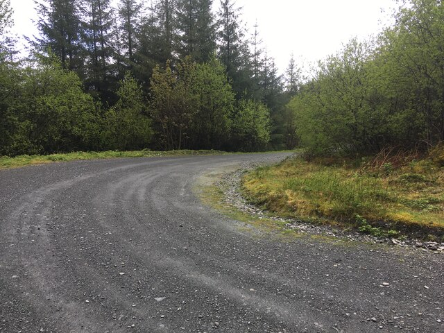
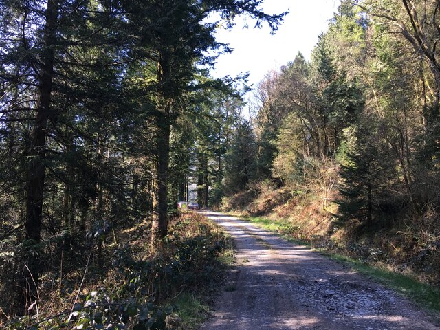
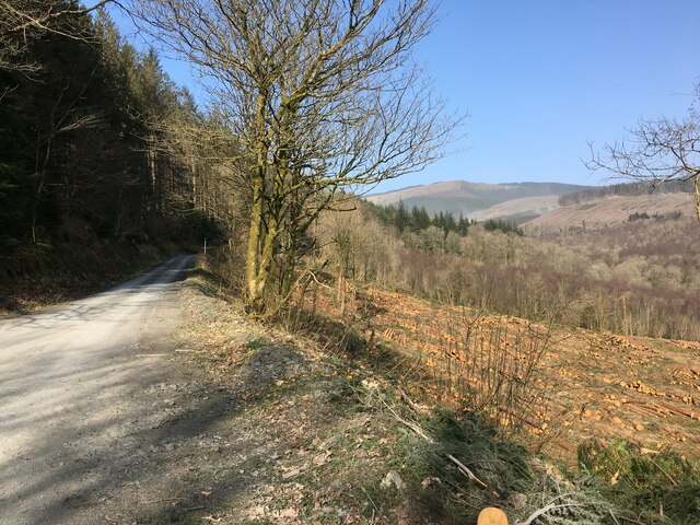
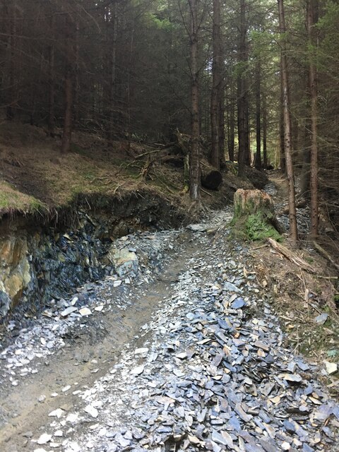
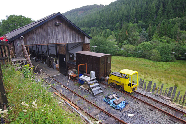
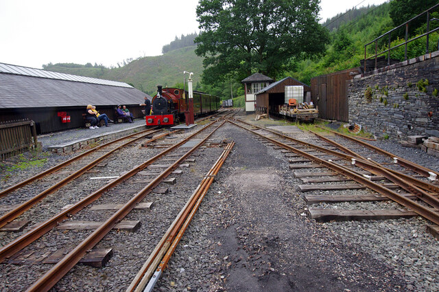
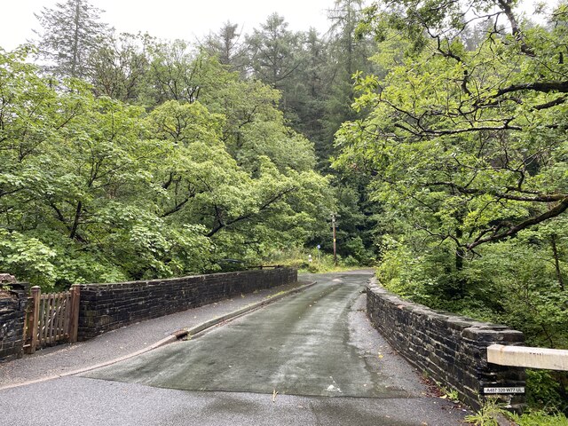
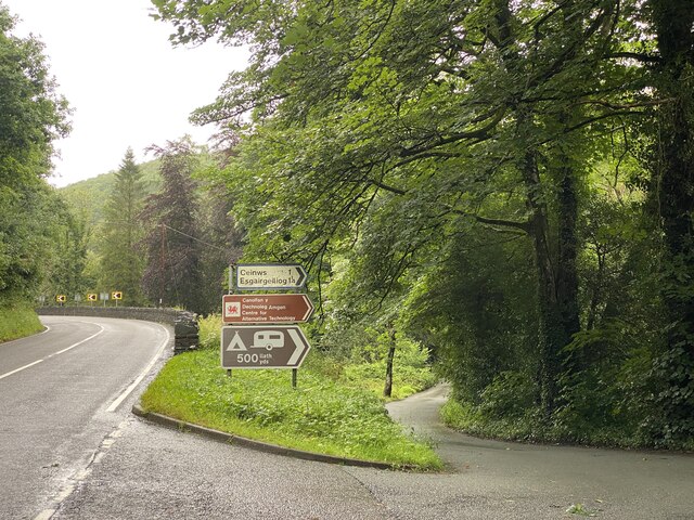
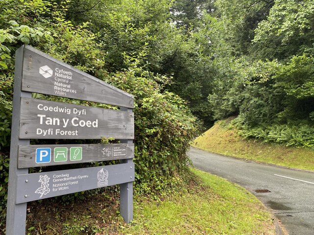
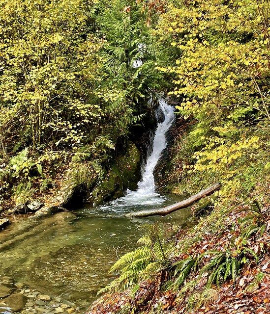
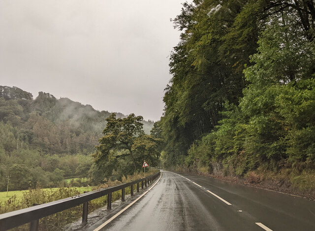
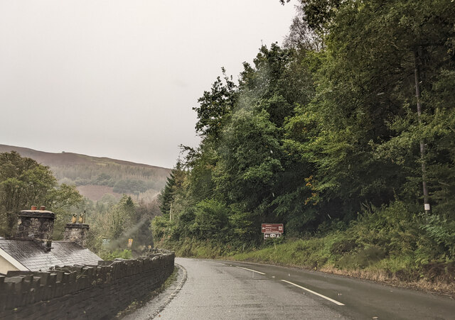
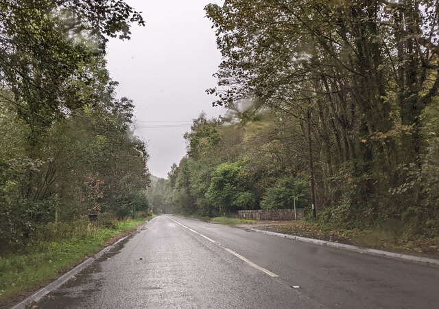
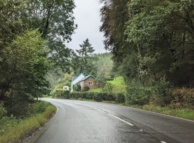
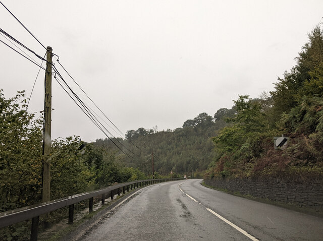
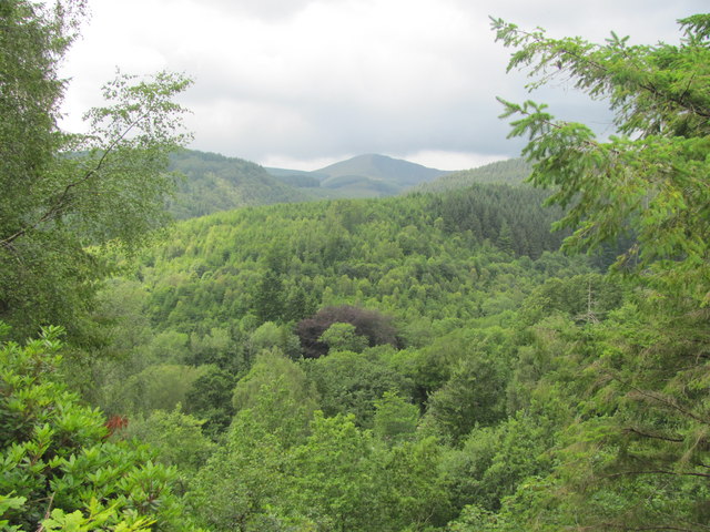
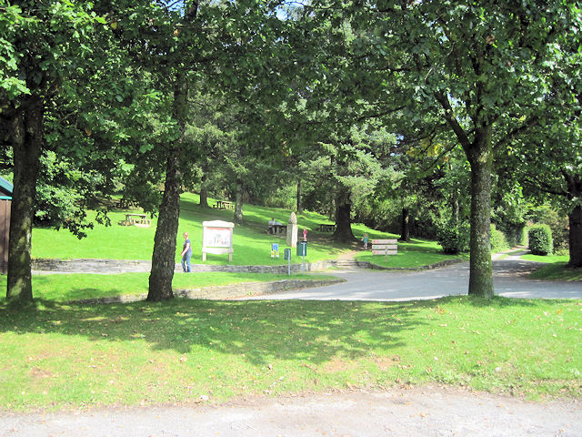
Plâs Llwyngwern Images
Images are sourced within 2km of 52.626448/-3.8437652 or Grid Reference SH7504. Thanks to Geograph Open Source API. All images are credited.
Plâs Llwyngwern is located at Grid Ref: SH7504 (Lat: 52.626448, Lng: -3.8437652)
Unitary Authority: Powys
Police Authority: Dyfed Powys
What 3 Words
///flocking.parkland.tomorrow. Near Corris, Gwynedd
Nearby Locations
Related Wikis

Llwyngwern quarry
The Llwyngwern quarry (sometimes known as Glandulas quarry or Maglona quarry) was a slate quarry in Wales that opened by 1828 and continued working until...

Llwyngwern railway station
Llwyngwern was a station on the Corris Railway in Wales, built to serve the hamlet of Pantperthog and the residents of Plas Llwyngwern, a house where a...

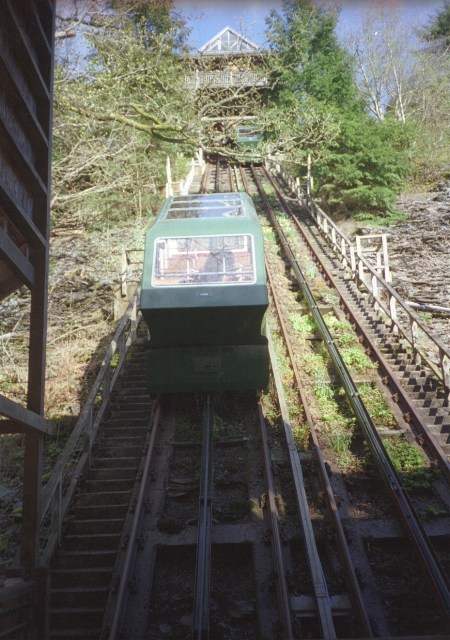
Centre for Alternative Technology Railway
The Centre for Alternative Technology Railway is a funicular opened in May 1992 and located in the Centre for Alternative Technology, Powys, Wales. �...
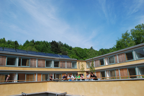
Wales Institute for Sustainable Education
The Wales Institute for Sustainable Education (WISE) is an educational building located at the Centre for Alternative Technology near Machynlleth, Powys...
Related Videos

Woodland Ramble in Wales | Tan y Coed | Snowdonia National Park
Hi Conservation Crew! In this episode of Nature Diaries, we are on our way back from seeing wild ospreys and stumble upon this ...

How Much Suspension Do You Need? | Over-Biked Vs Under-biked
Unfortunately, there isn't one do-it-all mountain bike! Enduro bikes are the closest MTB that we have to an all-mountain monster, ...


Nearby Amenities
Located within 500m of 52.626448,-3.8437652Have you been to Plâs Llwyngwern?
Leave your review of Plâs Llwyngwern below (or comments, questions and feedback).