Coed Ffordd y Bala

Wood, Forest in Merionethshire

Wales

Coed Ffordd y Bala

Canu yn yr awyr agored An album launch (by the very talented Osian Morris, centre) on a crag on the side of Foel Offwrm as the sun went down.
Canu yn yr awyr agored Credit: Mike Parker

The requested URL returned error: 429 Too Many Requests

If you have any feedback on the listing, please let us know in the comments section below.

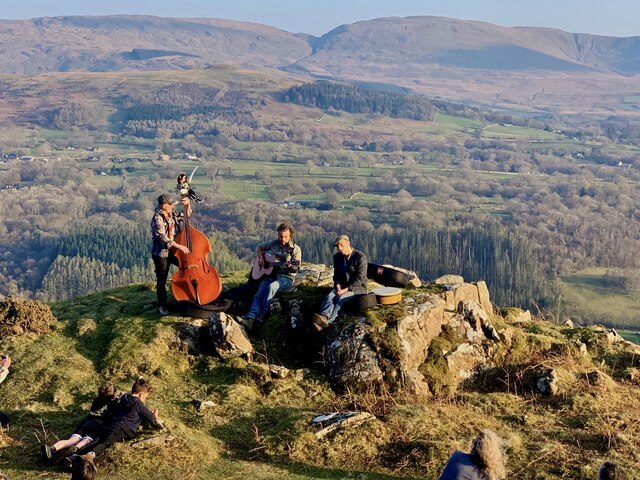
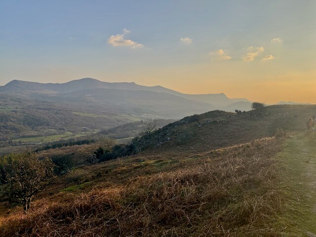
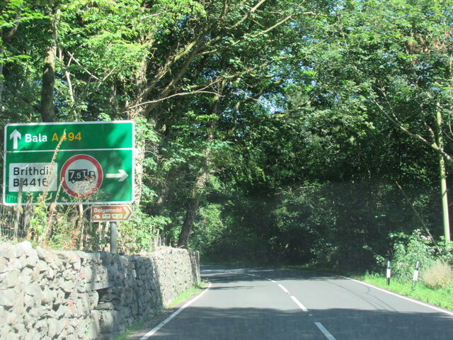
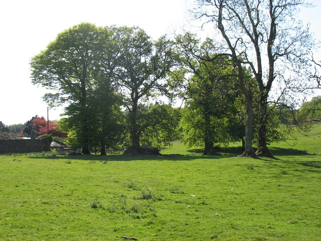
Coed Ffordd y Bala Images

Images are sourced within 2km of 52.755044/-3.8524529 or Grid Reference SH7519. Thanks to Geograph Open Source API. All images are credited.
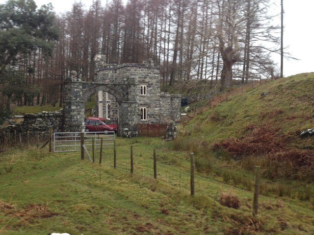
Canu yn yr awyr agored An album launch (by the very talented Osian Morris, centre) on a crag on the side of Foel Offwrm as the sun went down.
Canu yn yr awyr agored
An album launch (by the very talented Osian Morris, centre) on a crag on the side of Foel Offwrm as the sun went down.
Machlud yr haul ar Foel Offrwmm Sunset from the path around Foel Offrwm, with Cadair Idris in the distance.
Machlud yr haul ar Foel Offrwmm
Sunset from the path around Foel Offrwm, with Cadair Idris in the distance.
The A494 north approaching junction for Brithdir
Field by Nannau Home Farm
Nannau Nannau is an historic estate centred upon the large house of Nannau itself; also in view is Nannau Home Farm. The view is from a small crag high on the slope of the hill, Foel Offrwm which lies to the east.
Nannau
Nannau is an historic estate centred upon the large house of Nannau itself; also in view is Nannau Home Farm. The view is from a small crag high on the slope of the hill, Foel Offrwm which lies to the east.
Small crag on Foel Offrwm The crag lies to the east of a well built ridge wall on the south side of the hill. The distant low cloud conceals peaks of the Cadair Idris range.
Small crag on Foel Offrwm
The crag lies to the east of a well built ridge wall on the south side of the hill. The distant low cloud conceals peaks of the Cadair Idris range.
Foel Offrwm Parked as for Precipice Walk then direct steep climb on west flank, dry, with clear views but cloudy.  Very sturdy summit shelter found at top.
Name: Foel Offrwm
Hill number: 2082
Height: 405m / 1329ft
Area: 30D: Barmouth to Betws-y-Coed and Bala
Class: Ma
Grid ref: SH 74991 20989
Summit feature: cairn
Drop: 236m
Col: 169m  SH760220
Foel Offrwm
Parked as for Precipice Walk then direct steep climb on west flank, dry, with clear views but cloudy. Very sturdy summit shelter found at top. Name: Foel Offrwm Hill number: 2082 Height: 405m / 1329ft Area: 30D: Barmouth to Betws-y-Coed and Bala Class: Ma Grid ref: SH 74991 20989 Summit feature: cairn Drop: 236m Col: 169m SH760220
House by the A494
House by the A494
Nannau Hall The Hall has a chequered history and, indeed, existence. This is [I think] the fourth building on the site.
Nannau Hall
The Hall has a chequered history and, indeed, existence. This is [I think] the fourth building on the site.
Foel Offrwm Bryn Gaer ar Foel Offrwm / Hillfort on Foel Offrwm.
Foel Offrwm
Bryn Gaer ar Foel Offrwm / Hillfort on Foel Offrwm.
Bends west of Brithdir turning
Foel Offrwm The summit which has the remains of a walled fort and a substantial cairn.
Foel Offrwm
The summit which has the remains of a walled fort and a substantial cairn.
Grazing near Nannau Several pairs of twin lambs were in the field; two pairs can be seen bottom left.
Grazing near Nannau
Several pairs of twin lambs were in the field; two pairs can be seen bottom left.
View to Foel Offrwm from Dol-gûn-uchaf This is the view northwards from Dol-gûn-uchaf with the 405m (1329') eminence of Foel Offrwm in the background. I think that the house or farm in the mid-distance is most likely Ty-mawr. Foel Offrwm is home to a couple of ancient forts, the larger one being close to its summit, just to the west (left) of the wall seen rising up its flanks.
View to Foel Offrwm from Dol-gûn-uchaf
This is the view northwards from Dol-gûn-uchaf with the 405m (1329') eminence of Foel Offrwm in the background. I think that the house or farm in the mid-distance is most likely Ty-mawr. Foel Offrwm is home to a couple of ancient forts, the larger one being close to its summit, just to the west (left) of the wall seen rising up its flanks.
Hywel Sele Lodge, Llanfachreth Hywel Sele (Howel Sele) Lodge is en route to Llanfachreth and formed part of the Nannau Estate and is overlooking a Deer Park.  Probably built between 1794 and 1818 by Sir Robert Williams Vaughan.  It is a Tudor-Gothic folly lodge that has recently been restored as a get-away-from-it-all holiday let.
The Arch is Tudor in origin.
Hywel Sele Lodge, Llanfachreth
Hywel Sele (Howel Sele) Lodge is en route to Llanfachreth and formed part of the Nannau Estate and is overlooking a Deer Park. Probably built between 1794 and 1818 by Sir Robert Williams Vaughan. It is a Tudor-Gothic folly lodge that has recently been restored as a get-away-from-it-all holiday let. The Arch is Tudor in origin.
Deer Park, Llanfachreth The Deer Park from Sele Lodge.  In the distance, Dollgellau.
Deer Park, Llanfachreth
The Deer Park from Sele Lodge. In the distance, Dollgellau.
Nannau Hall and Home Farm Several houses have stood on the site of Nannau. The current Georgian style one was built in the 1790s.
Nannau Hall and Home Farm
Several houses have stood on the site of Nannau. The current Georgian style one was built in the 1790s.
Nannau Hall A Georgian style house dating from 1795. An earlier house on the site was destroyed by fire in 1404 during the Owain Glyndŵr uprising and another is thought to have been demolished during the Civil War.
Nannau Hall
A Georgian style house dating from 1795. An earlier house on the site was destroyed by fire in 1404 during the Owain Glyndŵr uprising and another is thought to have been demolished during the Civil War.
Show me another place!

Coed Ffordd y Bala is located at Grid Ref: SH7519 (Lat: 52.755044, Lng: -3.8524529)

Unitary Authority: Gwynedd

Police Authority: North Wales

What 3 Words

///saunas.rumble.amps. Near Dolgellau, Gwynedd

Related Wikis

Dolserau Halt railway station

Dolserau Halt (Pron: Dol-seh-rye) in Gwynedd, Wales, was on the Ruabon to Barmouth line. The platform edge was made of timber and was situated on the north...

Meirionnydd

Meirionnydd is a coastal and mountainous region of Wales. It has been a kingdom, a cantref, a district and, as Merionethshire, a county. == Kingdom... ==

St Mark's Church, Brithdir

St Mark's Church, Brithdir, is a redundant church in the hamlet of Brithdir, Gwynedd, Wales. It is designated by Cadw as a Grade I listed building, and...

Nannau, Wales

Nannau (Welsh for 'the place of many streams'') is a Georgian mansion and estate near the village of Llanfachreth, Gwynedd, North Wales, UK. The mansion...

Nearby Amenities

Located within 500m of 52.755044,-3.8524529
Source: npe
Lat/Long: 52.7524006/-3.8568013
Source: npe
Lat/Long: 52.7541054/-3.8532088
Created By: POI Editor
Source: npe
Lat/Long: 52.7545482/-3.8505918
Source: npe
Lat/Long: 52.7568388/-3.8494212
Ford: yes
Lat/Long: 52.7546776/-3.8528784
Hiking: yes
Information: guidepost
Tourism: information
Lat/Long: 52.752292/-3.8503315
Hiking: yes
Information: guidepost
Tourism: information
Lat/Long: 52.7524251/-3.8487607
Barrier: kissing_gate
Lat/Long: 52.7523196/-3.8502909
Entrance: main
Lat/Long: 52.7548785/-3.8476073
Frequency: 50
Power: transformer
Lat/Long: 52.7544836/-3.8476986
Bench
Source: GPS survey
Lat/Long: 52.7547547/-3.8471031
Addr Housename: Rose Cottage
Lat/Long: 52.752585/-3.8496512
Noexit: yes
Lat/Long: 52.7543537/-3.8479091
Power: pole
Lat/Long: 52.7540856/-3.8474201
Power: pole
Lat/Long: 52.7553053/-3.8460704
Power: pole
Lat/Long: 52.7537319/-3.8471744
Power: pole
Lat/Long: 52.7541244/-3.8465226
Power: pole
Lat/Long: 52.754639/-3.8454444
Power: pole
Lat/Long: 52.7554881/-3.8455443
The data included in this document is from www.openstreetmap.org. The data is made available under ODbL.

Have you been to Coed Ffordd y Bala?

Leave your review of Coed Ffordd y Bala below (or comments, questions and feedback).