Burscott
Settlement in Devon Torridge
England
Burscott
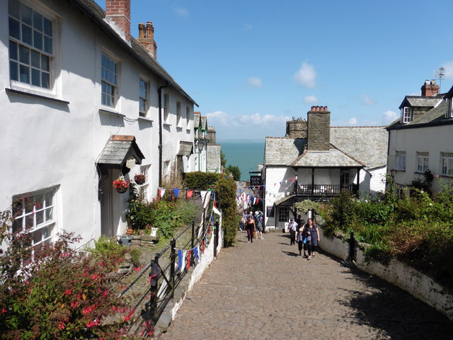
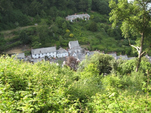
Burscott is a charming village nestled in the heart of Devon, England. Located in the South West of the country, it is situated amidst picturesque rolling hills and lush green landscapes. With a population of around 500 residents, Burscott maintains a close-knit community atmosphere.
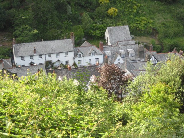
The village boasts a rich history that dates back centuries. It is believed to have been established in the medieval period and still retains some of its original architecture. Visitors to Burscott can explore the ancient St. Mary's Church, which stands as a testament to the village's heritage.
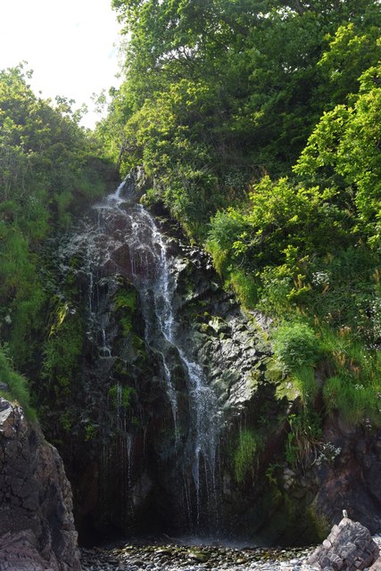
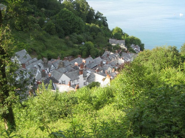
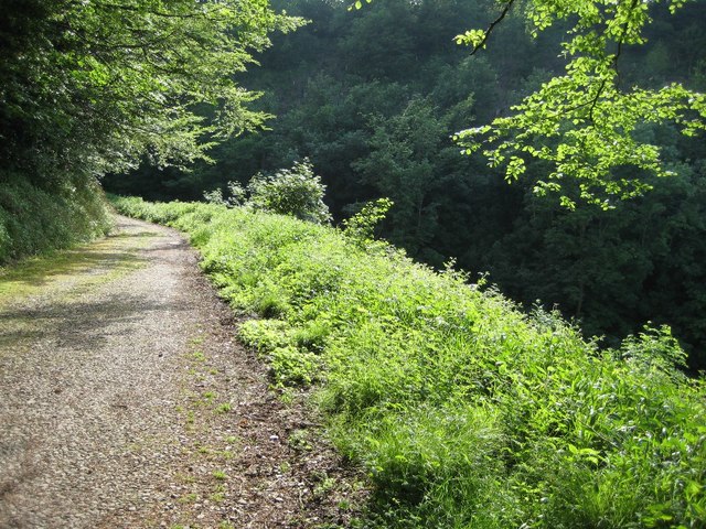
Nature lovers will find themselves captivated by the stunning surroundings of Burscott. The village is surrounded by idyllic countryside, offering ample opportunities for scenic walks, hikes, and cycling adventures. The nearby River Dart also provides a chance for fishing and boating enthusiasts to indulge in their favorite activities.
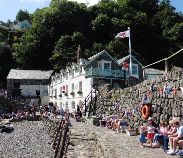
Burscott is also home to a handful of quaint shops and local businesses, including a traditional pub where visitors can unwind and sample delicious local cuisine. The village's warm and welcoming atmosphere makes it an ideal destination for those seeking a peaceful retreat from the hustle and bustle of city life.
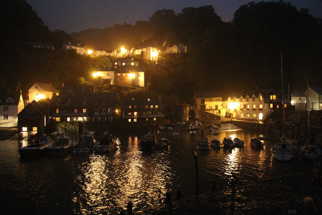
Overall, Burscott is a hidden gem in Devon, offering visitors a chance to immerse themselves in the beauty of the English countryside while experiencing the charm of a traditional village community.
If you have any feedback on the listing, please let us know in the comments section below.
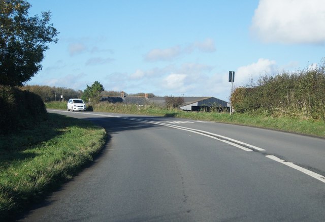
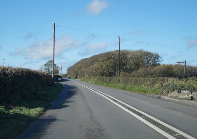
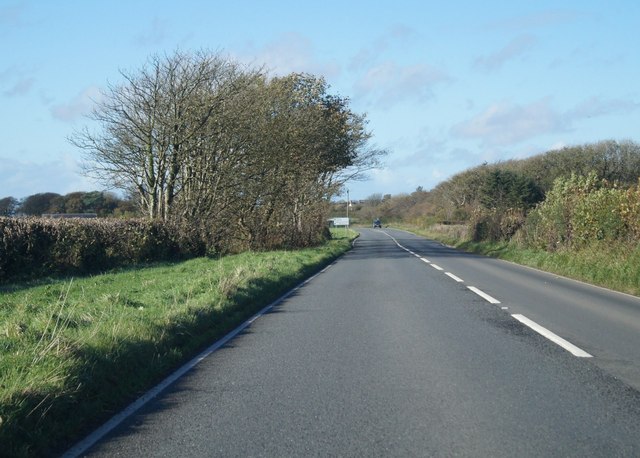
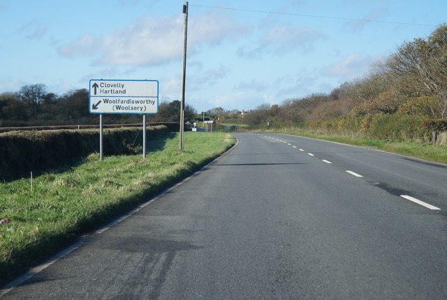
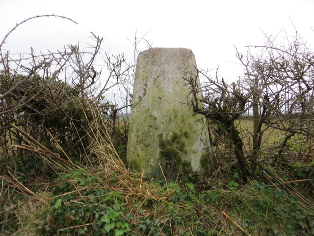
Burscott Images
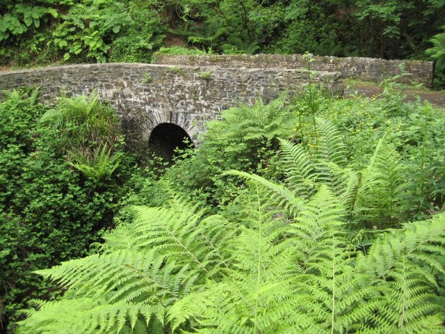
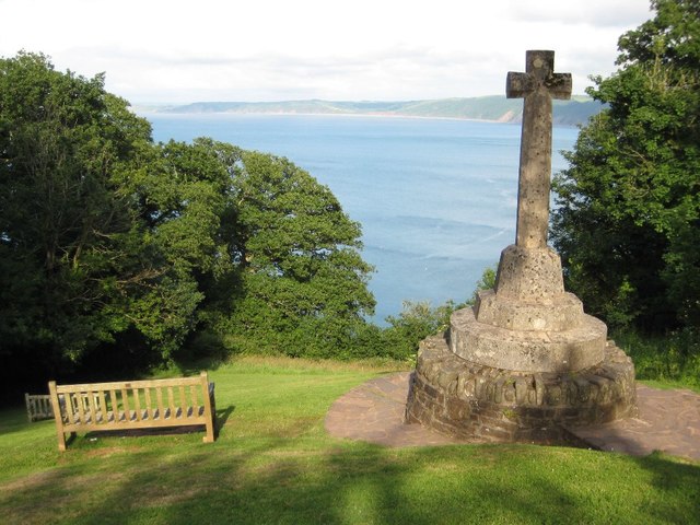
Images are sourced within 2km of 50.992286/-4.404155 or Grid Reference SS3124. Thanks to Geograph Open Source API. All images are credited.
Burscott is located at Grid Ref: SS3124 (Lat: 50.992286, Lng: -4.404155)
Administrative County: Devon
District: Torridge
Police Authority: Devon and Cornwall
What 3 Words
///open.shocks.beads. Near Bideford, Devon
Nearby Locations
Related Wikis

Atlantic Academy
Atlantic Academy is a secondary free school situated in Bucks Cross in Bideford, Devon, England. It has 131 pupils as of June 2017, and its current principal...

Burscott
Burscott is a village in Devon, England. == External links == Media related to Burscott at Wikimedia Commons

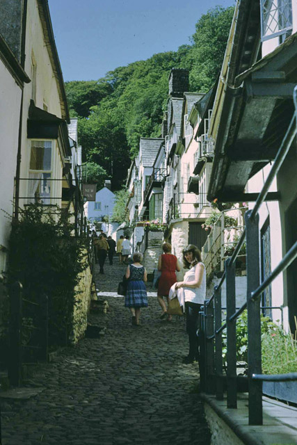
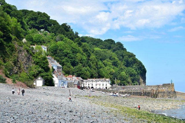
Clovelly
Clovelly () is a privately owned harbour village in the Torridge district of Devon, England. The settlement and surrounding land belongs to John Rous who...
Clovelly Dykes
Clovelly Dykes is an Iron Age hill fort or earthwork near Clovelly, Devon, England. Situated on the high plateau behind the coast at approx 210 metres...
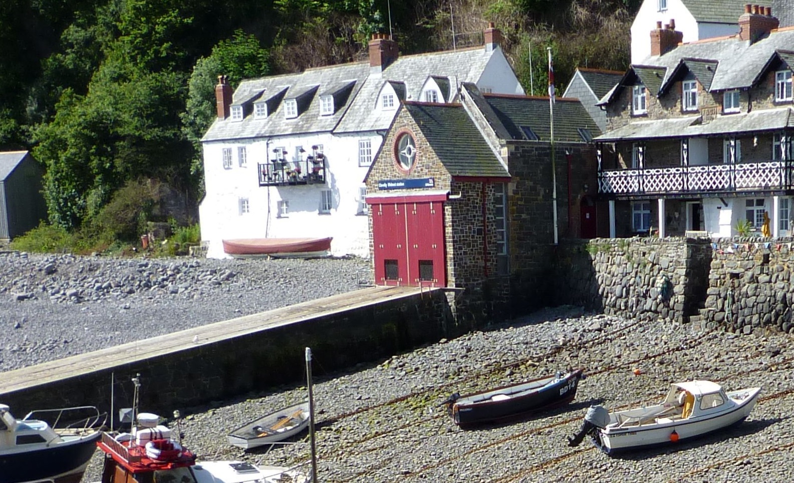
Clovelly Lifeboat Station
Clovelly Lifeboat Station, serving the North Devon village of Clovelly and surrounding coastal waters, is run by the Royal National Lifeboat Institution...
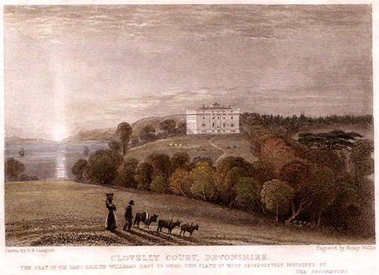
Clovelly Court
Clovelly Court is a privately owned country house in Clovelly, Devon. The house and adjacent stable block are Grade II listed buildings. The gardens and...
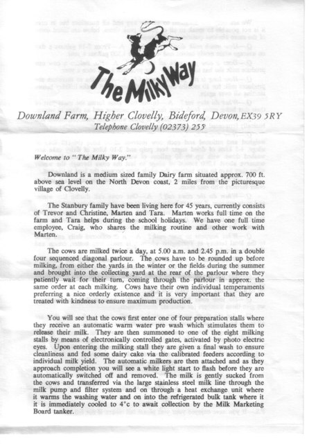
The Milky Way (amusement park)
The Milky Way Adventure Park (Downland Farm) is an amusement park in North Devon. It was named as Devon's Large Attraction of the Year by Visit Devon in...

Lynbarn Railway
The 1 ft 11+1⁄2 in (597 mm) narrow gauge Lynbarn Railway opened in 1995 as a park ride at the Milky Way Adventure Park, a family-based theme park attraction...
Nearby Amenities
Located within 500m of 50.992286,-4.404155Have you been to Burscott?
Leave your review of Burscott below (or comments, questions and feedback).