Coed Dol-gun-uchaf
Wood, Forest in Merionethshire
Wales
Coed Dol-gun-uchaf

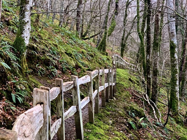
Coed Dol-gun-uchaf, located in Merionethshire, is a captivating woodland area renowned for its natural beauty and rich ecological diversity. Nestled in the heart of Wales, this woodland spans over a considerable expanse, providing a haven for wildlife and a tranquil retreat for visitors.
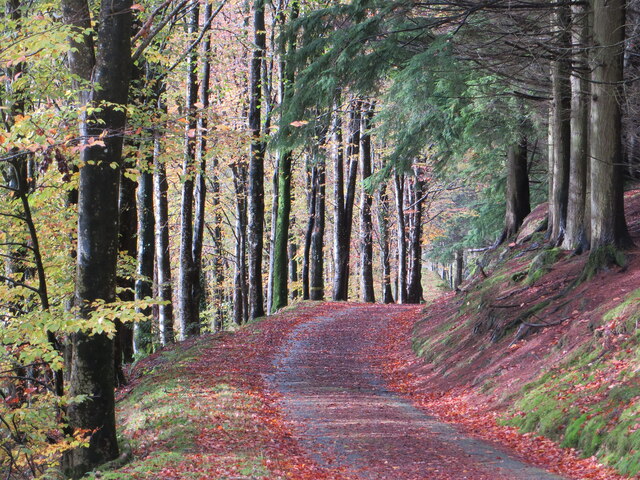
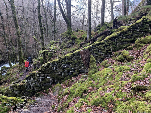
The wood, whose name translates to "Forest of the Upper Meadow," is characterized by its lush greenery, towering trees, and extensive network of walking trails. These trails wind through the woodland, allowing visitors to explore the enchanting surroundings and immerse themselves in the peaceful ambiance.
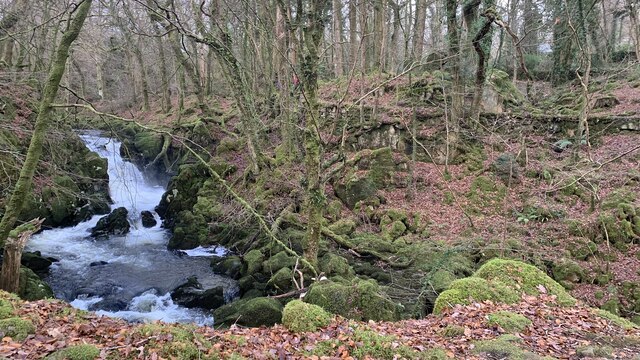
Coed Dol-gun-uchaf boasts a diverse range of flora and fauna, reflecting its status as a Site of Special Scientific Interest (SSSI). The wood is home to a variety of tree species, including oak, beech, and birch, which create a dense canopy overhead. Underneath this canopy, a vibrant undergrowth thrives, encompassing ferns, bluebells, and wildflowers that add color and beauty to the landscape.
Moreover, the woodland serves as a sanctuary for numerous animal species. Visitors may spot red squirrels scampering through the branches, while a keen eye could catch a glimpse of elusive birds such as buzzards and woodpeckers. The wood's diverse ecosystem also supports a wealth of insects, butterflies, and small mammals.
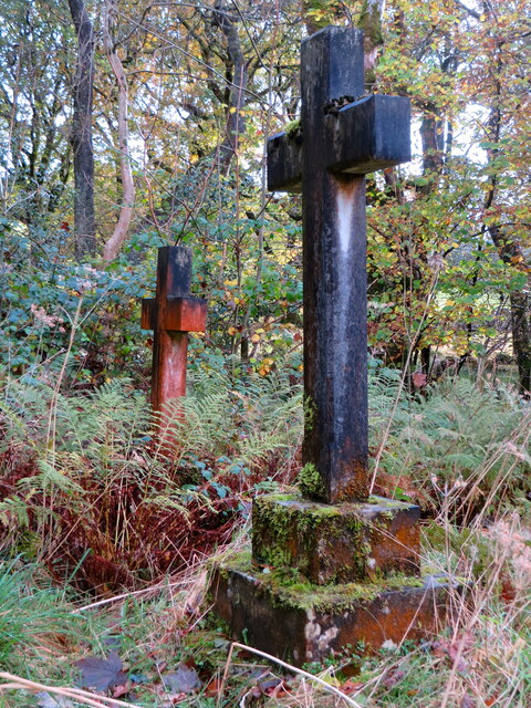
Coed Dol-gun-uchaf is not only a natural gem but also a place of cultural significance. It has been part of the local community for generations, with its history intertwined with the lives of the people who have called this area home. Today, the wood continues to be cherished and enjoyed by locals and visitors alike, offering a tranquil escape and an opportunity to reconnect with nature in the heart of Merionethshire.
If you have any feedback on the listing, please let us know in the comments section below.
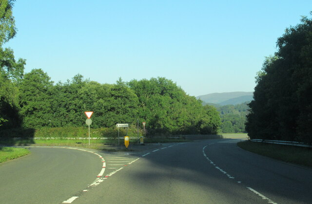
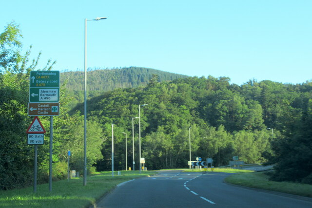
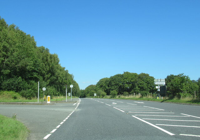
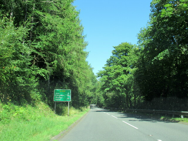
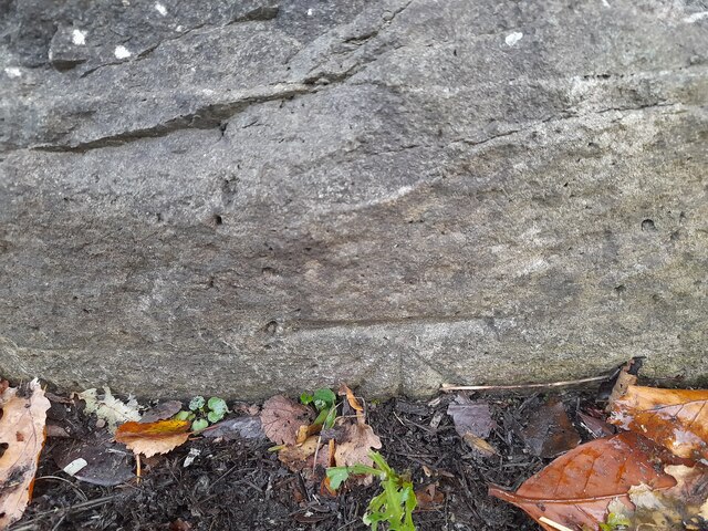
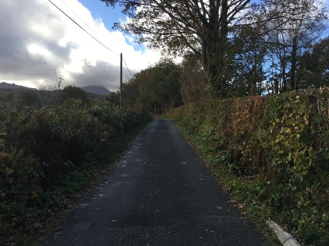
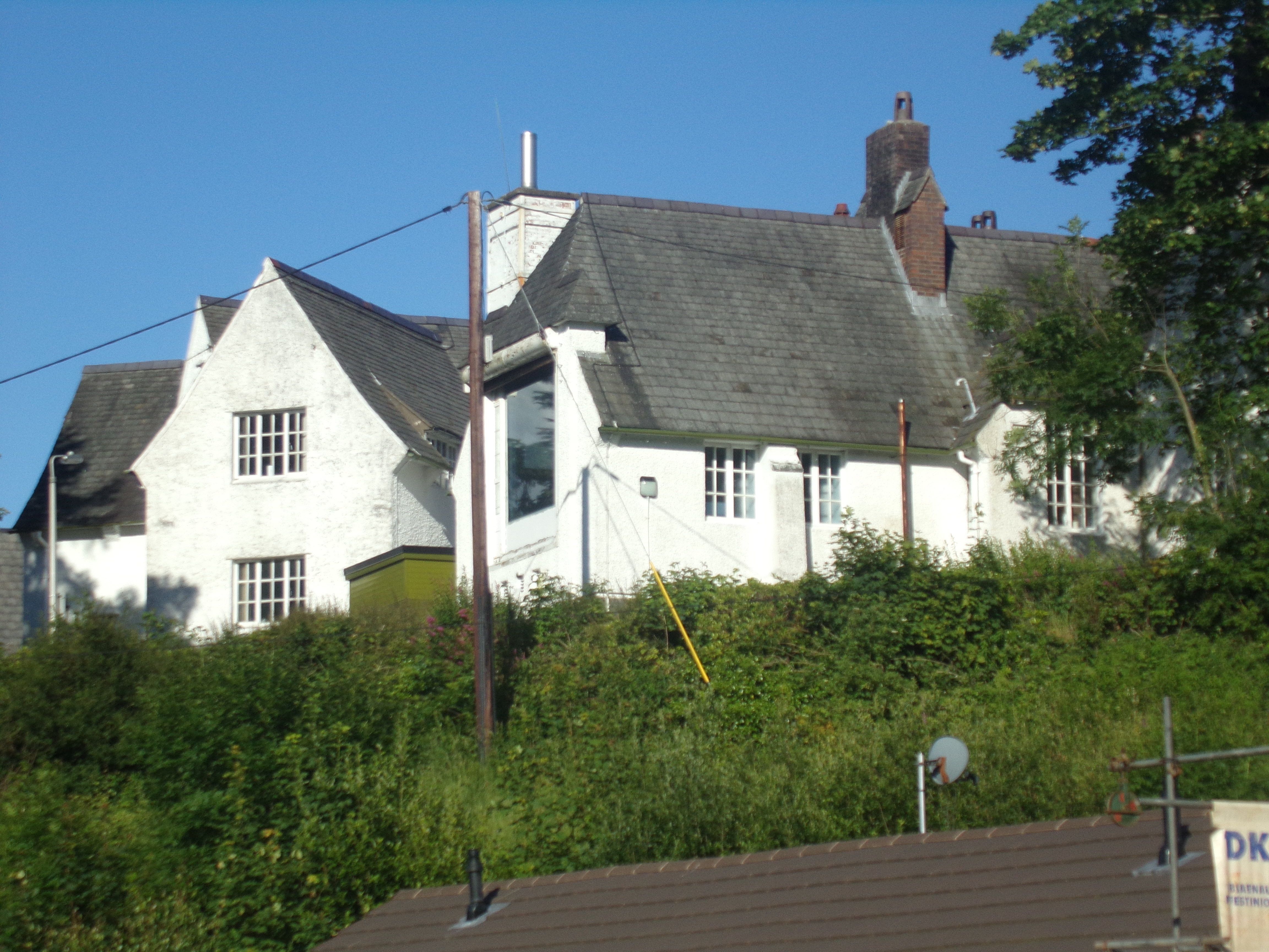
Coed Dol-gun-uchaf Images
Images are sourced within 2km of 52.746688/-3.8555504 or Grid Reference SH7418. Thanks to Geograph Open Source API. All images are credited.


Coed Dol-gun-uchaf is located at Grid Ref: SH7418 (Lat: 52.746688, Lng: -3.8555504)
Unitary Authority: Gwynedd
Police Authority: North Wales
What 3 Words
///freezers.doses.lucky. Near Dolgellau, Gwynedd
Nearby Locations
Related Wikis

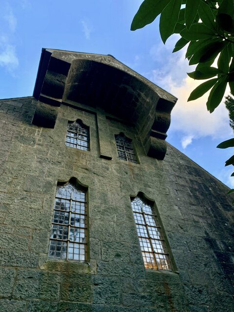
St Mark's Church, Brithdir
St Mark's Church, Brithdir, is a redundant church in the hamlet of Brithdir, Gwynedd, Wales. It is designated by Cadw as a Grade I listed building, and...

Dolserau Halt railway station
Dolserau Halt (Pron: Dol-seh-rye) in Gwynedd, Wales, was on the Ruabon to Barmouth line. The platform edge was made of timber and was situated on the north...

Ysgol y Gader
Ysgol y Gader was a bilingual comprehensive school for pupils aged 11–16 that served the town of Dolgellau and the surrounding area in South Meirionnydd...
Dolgelley power station
Dolgelley or Dolgellau power station was a combined diesel and hydroelectric generating station. It provided electricity to the town of Dolgellau, Gwynedd...

Meirionnydd
Meirionnydd is a coastal and mountainous region of Wales. It has been a kingdom, a cantref, a district and, as Merionethshire, a county. == Kingdom... ==
Dolgellau and Barmouth Hospital
Dolgellau and Barmouth Hospital (Welsh: Ysbyty Dolgellau ac Abermaw) is a health facility in Dolgellau, Gwynedd, Wales. It is managed by the Betsi Cadwaladr...

Dolgellau railway station
Dolgellau railway station (Welsh pronunciation: [dɔlˈɡɛɬaɨ]) in Gwynedd, North Wales, was a station on the Ruabon to Barmouth line, originally the terminus...

County Hall, Dolgellau
County Hall (Welsh: Neuadd y Sir Dolgellau) is a municipal building in Smithfield Street, Dolgellau, Gwynedd, Wales. The structure, which was the headquarters...
Nearby Amenities
Located within 500m of 52.746688,-3.8555504Have you been to Coed Dol-gun-uchaf?
Leave your review of Coed Dol-gun-uchaf below (or comments, questions and feedback).