Coed Bryn-y-gefeiliau

Wood, Forest in Caernarfonshire

Wales

Coed Bryn-y-gefeiliau

Cefnrhos Gwawr Cefnrhos Gwawr forestry
Cefnrhos Gwawr Credit: Colin Prosser

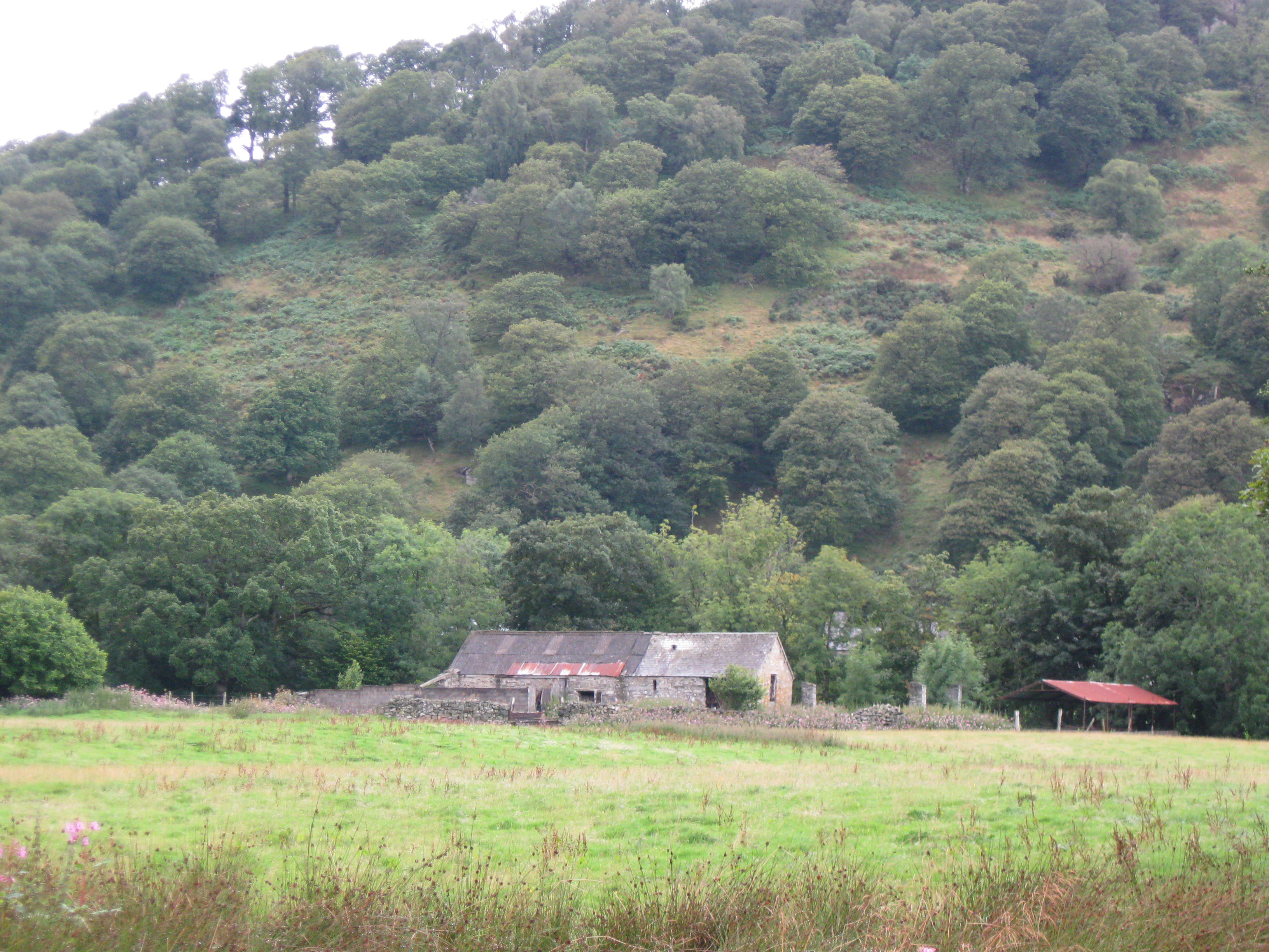
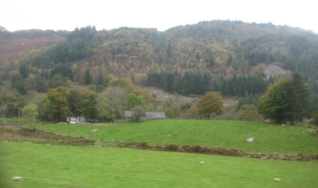
Coed Bryn-y-gefeiliau, located in Caernarfonshire, is a picturesque woodland area renowned for its natural beauty and rich biodiversity. Covering an approximate area of [insert size], this enchanting forest is a popular destination for nature enthusiasts, hikers, and wildlife lovers alike.

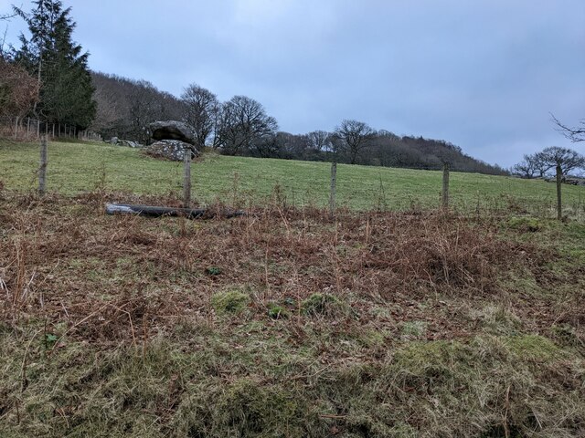
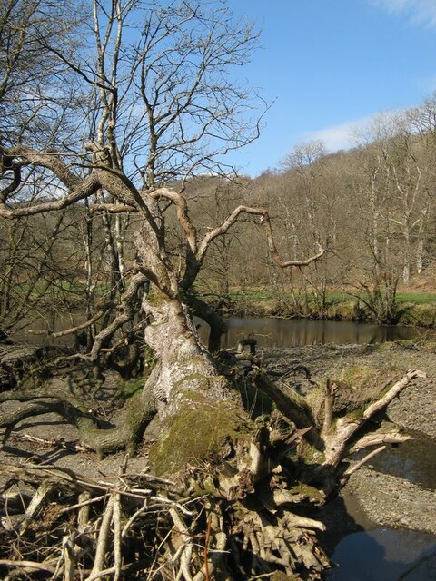
The woodland is characterized by a diverse range of tree species, including oak, beech, birch, and pine, which create a stunning tapestry of colors throughout the seasons. The forest floor is adorned with a carpet of vibrant wildflowers, such as bluebells and primroses, adding to the area's allure.

Coed Bryn-y-gefeiliau is home to a wide variety of wildlife, making it a haven for nature conservation. Visitors may be fortunate enough to spot native species such as red squirrels, badgers, foxes, and a plethora of bird species including the great spotted woodpecker, tawny owl, and pied flycatcher.

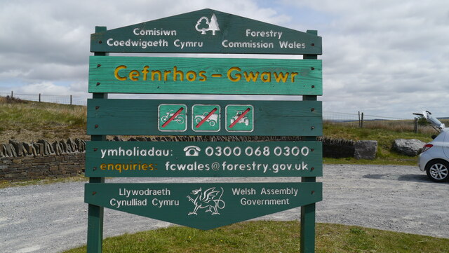
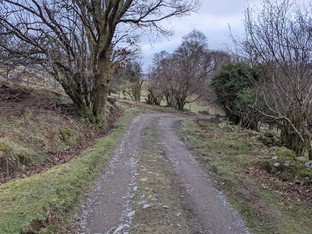
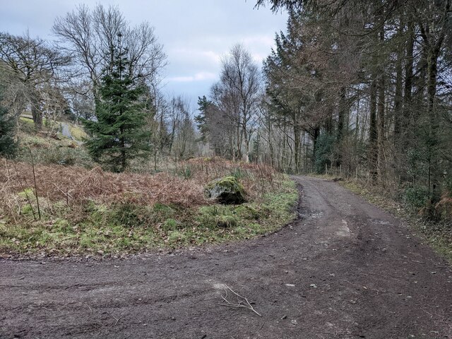
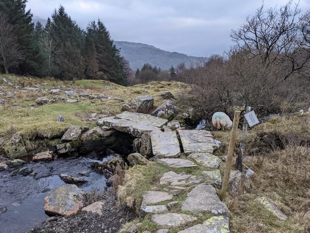
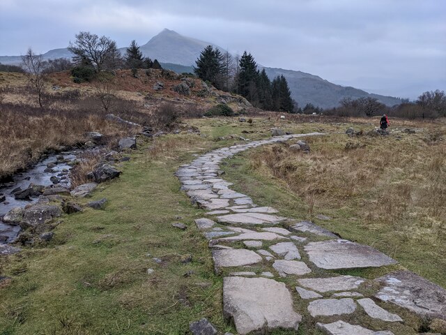
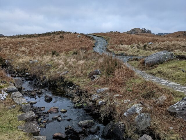
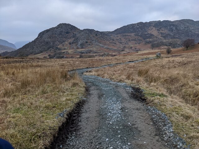
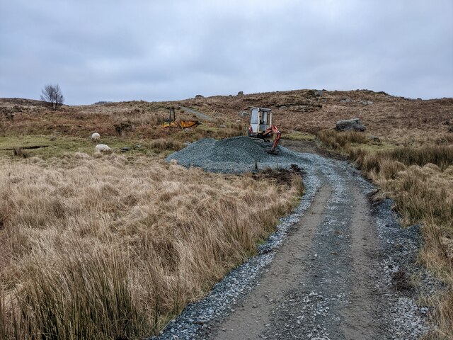
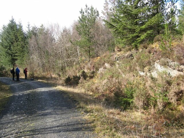
Tranquil walking trails wind their way through the woods, offering visitors the chance to explore and immerse themselves in the natural surroundings. The paths are well-maintained, making it accessible for people of all ages and abilities.

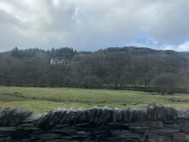
In addition to its natural wonders, Coed Bryn-y-gefeiliau also boasts a rich historical significance. It is believed that ancient Celtic tribes once inhabited the area, leaving behind remnants of their culture and heritage. Archaeological sites, such as burial mounds and standing stones, can still be found within the forest, providing a fascinating glimpse into the past.

Overall, Coed Bryn-y-gefeiliau is a captivating forest that offers visitors a chance to connect with nature, witness its beauty, and experience the tranquillity of the Welsh countryside.

If you have any feedback on the listing, please let us know in the comments section below.

Coed Bryn-y-gefeiliau Images

Images are sourced within 2km of 53.093118/-3.8758474 or Grid Reference SH7456. Thanks to Geograph Open Source API. All images are credited.

Cefnrhos Gwawr Cefnrhos Gwawr forestry
Cefnrhos Gwawr
Cefnrhos Gwawr forestry
The bridleway down to Capel Curig
Perched erratic boulders above Capel Curig
The bridleway down to Capel Curig
An ancient bridge on the bridleway The wonky sign states that the path goes through a garden and please respect this.
An ancient bridge on the bridleway
The wonky sign states that the path goes through a garden and please respect this.
Path protected from erosion - the old way There is controversy (in 2022) about the National Park's heavy-handed treatment of the Crafnant bridleway. This is a good example of previous, landscape sensitive, work using natural stone.  See other photos for the modern process.
Path protected from erosion - the old way
There is controversy (in 2022) about the National Park's heavy-handed treatment of the Crafnant bridleway. This is a good example of previous, landscape sensitive, work using natural stone. See other photos for the modern process.
Path protected from erosion - the 2022 method There is great controversy about the Snowdonia National Park using heavy machinery to dig up this bridleway and then resurfacing with gravel and not natural stone. This is already being washed out by recent storms in places, so the detractors seem to have a case.
Path protected from erosion - the 2022 method
There is great controversy about the Snowdonia National Park using heavy machinery to dig up this bridleway and then resurfacing with gravel and not natural stone. This is already being washed out by recent storms in places, so the detractors seem to have a case.
A section of resurfaced path
Newly resurfaced path Scraped out and filled with gravel, thus becoming a clichéd 'scar on the landscape' which is likely to be washed out by winter storms.
Newly resurfaced path
Scraped out and filled with gravel, thus becoming a clichéd 'scar on the landscape' which is likely to be washed out by winter storms.
Men at work A digger and gravel pile, ready to cover the old stone path. It is not surprising that the National Park is getting adverse comments about this process.
Men at work
A digger and gravel pile, ready to cover the old stone path. It is not surprising that the National Park is getting adverse comments about this process.
A5 towards Betws-y-Coed The A5 is a major trunk road which runs for about 181 miles from London, in England, to Holyhead, in Wales. For part of its route, it follows a section of the Roman route which later took the Anglo-Saxon name Watling Street.  At Oswestry, the A5 joins the A483 and becomes the bypass to the east of the town. It continues to multiplex with the A483 until it reaches Halton, where it diverges towards Llangollen and Holyhead.
A5 towards Betws-y-Coed
The A5 is a major trunk road which runs for about 181 miles from London, in England, to Holyhead, in Wales. For part of its route, it follows a section of the Roman route which later took the Anglo-Saxon name Watling Street. At Oswestry, the A5 joins the A483 and becomes the bypass to the east of the town. It continues to multiplex with the A483 until it reaches Halton, where it diverges towards Llangollen and Holyhead.
A5 near Swallow Falls The A5 is a major trunk road which runs for about 181 miles from London, in England, to Holyhead, in Wales. For part of its route, it follows a section of the Roman route which later took the Anglo-Saxon name Watling Street.  At Oswestry, the A5 joins the A483 and becomes the bypass to the east of the town. It continues to multiplex with the A483 until it reaches Halton, where it diverges towards Llangollen and Holyhead.
A5 near Swallow Falls
The A5 is a major trunk road which runs for about 181 miles from London, in England, to Holyhead, in Wales. For part of its route, it follows a section of the Roman route which later took the Anglo-Saxon name Watling Street. At Oswestry, the A5 joins the A483 and becomes the bypass to the east of the town. It continues to multiplex with the A483 until it reaches Halton, where it diverges towards Llangollen and Holyhead.
Afon Llugwy A view upstream from a dry section of the braided channel by Ty Hyll.
Afon Llugwy
A view upstream from a dry section of the braided channel by Ty Hyll.
Fallen tree A fallen tree, whose root-plate has been washed clean by floodwater.
Fallen tree
A fallen tree, whose root-plate has been washed clean by floodwater.
Forest track Rock outcrops by the side of a forestry access road. Without the benefit of this activity by the Forestry Commission, we would have no view of the rocks in this area.
Forest track
Rock outcrops by the side of a forestry access road. Without the benefit of this activity by the Forestry Commission, we would have no view of the rocks in this area.
Quarry in the forest A small quarry operated (originally) by the Forestry Commission to produce stone for building access roads in this tract of upland forestry. The rock exposed here belongs to the Cwm Eigiau Formation (Ordovician, Soudleyan to Longvillian), which is mostly siltstone and mudstone hardened into poor-quality slate by tectonic forces. Here there was a knoll, now quarried away, comprising competent sandstone which was better for crushing down for surface dressings. Grading of the site is preparatory to closure for extraction.
Quarry in the forest
A small quarry operated (originally) by the Forestry Commission to produce stone for building access roads in this tract of upland forestry. The rock exposed here belongs to the Cwm Eigiau Formation (Ordovician, Soudleyan to Longvillian), which is mostly siltstone and mudstone hardened into poor-quality slate by tectonic forces. Here there was a knoll, now quarried away, comprising competent sandstone which was better for crushing down for surface dressings. Grading of the site is preparatory to closure for extraction.
The Towers Outdoor Education Centre
Inverted benchmark in A5 roadside wall, Capel Curig For more details see: <span class="nowrap"><a title="https://www.bench-marks.org.uk/bm169777" rel="nofollow ugc noopener" href="https://www.bench-marks.org.uk/bm169777">Link</a><img style="margin-left:2px;" alt="External link" title="External link - shift click to open in new window" src="https://s1.geograph.org.uk/img/external.png" width="10" height="10"/></span>
Inverted benchmark in A5 roadside wall, Capel Curig
For more details see: LinkExternal link
Show me another place!

Coed Bryn-y-gefeiliau is located at Grid Ref: SH7456 (Lat: 53.093118, Lng: -3.8758474)

Unitary Authority: Conwy

Police Authority: North Wales

What 3 Words

///cutaway.botanists.collected. Near Betws-y-Coed, Conwy

Nearby Locations

Coed Bryn-y-gefeiliau

Related Wikis

Caer Llugwy

Caer Llugwy, or Bryn-y-Gefeiliau, is the site of a Roman fort in a loop of the Afon Llugwy near Capel Curig in Conwy, Wales. It is notable in that there...

Cobden's Hotel

Cobden's Hotel is a 19th-century hotel in Capel Curig, Conwy, Wales. It became famous after it was bought by the celebrated cricketer Frank Cobden and...

Llyn Goddionduon

Llyn Goddionduon is a remote lake in the Gwydir Forest in north Wales. It lies at a height of 794 ft (242 m) and covers an area of 10 acres (40,000 m2...
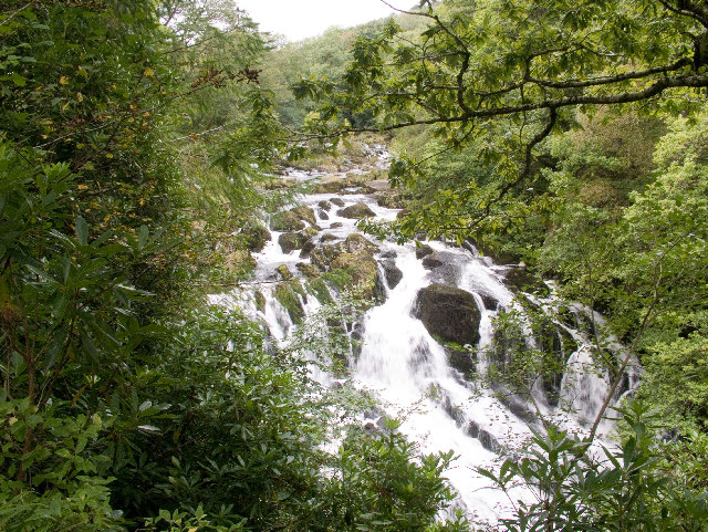
Swallow Falls

Swallow Falls is an English name for the Welsh Rhaeadr y Wennol, also known as Rhaeadr Ewynnol (English: 'the foaming waterfall'), a multiple waterfall...

Capel Curig

Capel Curig (Welsh pronunciation: [ˈkɑːpɛl ˈkɨːrɪɡ]; meaning "Curig's Chapel") is a village and community in Conwy County Borough, Wales. Historically...

Plas y Brenin

Plas y Brenin, located in Conwy County Borough, Wales, is a National Outdoor Centre owned by Sport England. The centre is situated in Dyffryn Mymbyr, the...

Llyn Bodgynydd

Llyn Bodgynydd is a lake in the Gwydir Forest in North Wales. It covers an area of some 14 acres (57,000 m2), and lies at a height of 822 feet (251 m)...

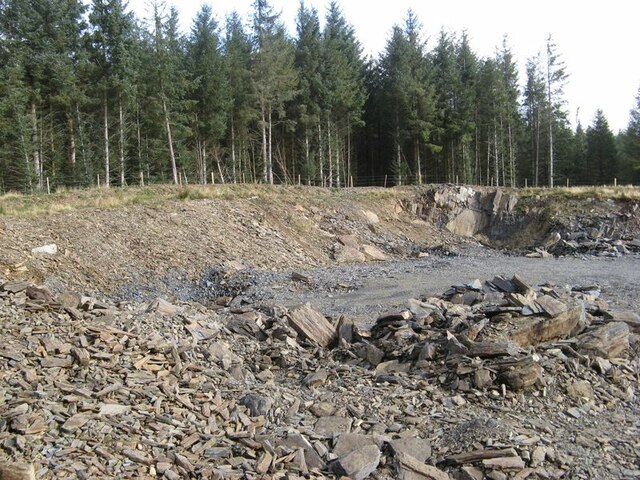
Rhiw-goch quarry, Conwy

Rhiw-goch quarry (also known as Brandreath quarry) was a slate quarry that was worked from the 1860s to 1908. It stands on the north side of the Afon Lledr...

Nearby Amenities

Located within 500m of 53.093118,-3.8758474
Created By: Merkaartor 0.12
Lat/Long: 53.093296/-3.8799333
Created By: Merkaartor 0.12
Lat/Long: 53.094541/-3.8769979
Created By: Merkaartor 0.12
Lat/Long: 53.0938565/-3.8783669
Power: pole
Lat/Long: 53.0954573/-3.8698191
Power: pole
Lat/Long: 53.0949549/-3.870673
Power: pole
Lat/Long: 53.0939222/-3.8721515
Power: pole
Lat/Long: 53.0938646/-3.8731755
Power: pole
Lat/Long: 53.093812/-3.8739883
Power: pole
Lat/Long: 53.0943339/-3.8743844
Power: pole
Lat/Long: 53.0949577/-3.8748719
Power: pole
Lat/Long: 53.094945/-3.87509
Power: pole
Lat/Long: 53.0950117/-3.8760823
Power: pole
Lat/Long: 53.0944453/-3.8714219
The data included in this document is from www.openstreetmap.org. The data is made available under ODbL.

Have you been to Coed Bryn-y-gefeiliau?

Leave your review of Coed Bryn-y-gefeiliau below (or comments, questions and feedback).