Coed Esgair

Wood, Forest in Merionethshire

Wales

Coed Esgair

Footbridge over the River Dovey
Footbridge over the River Dovey Credit: Steven Brown

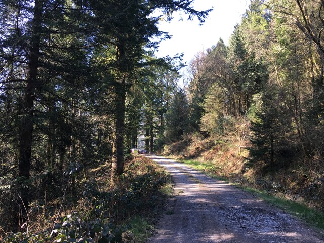
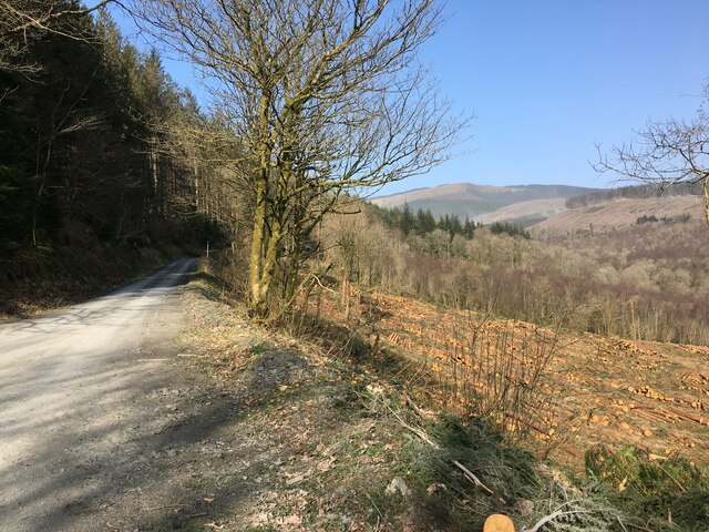
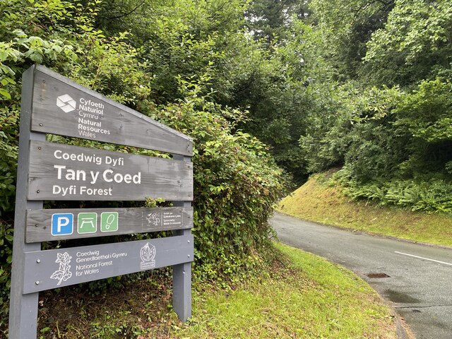
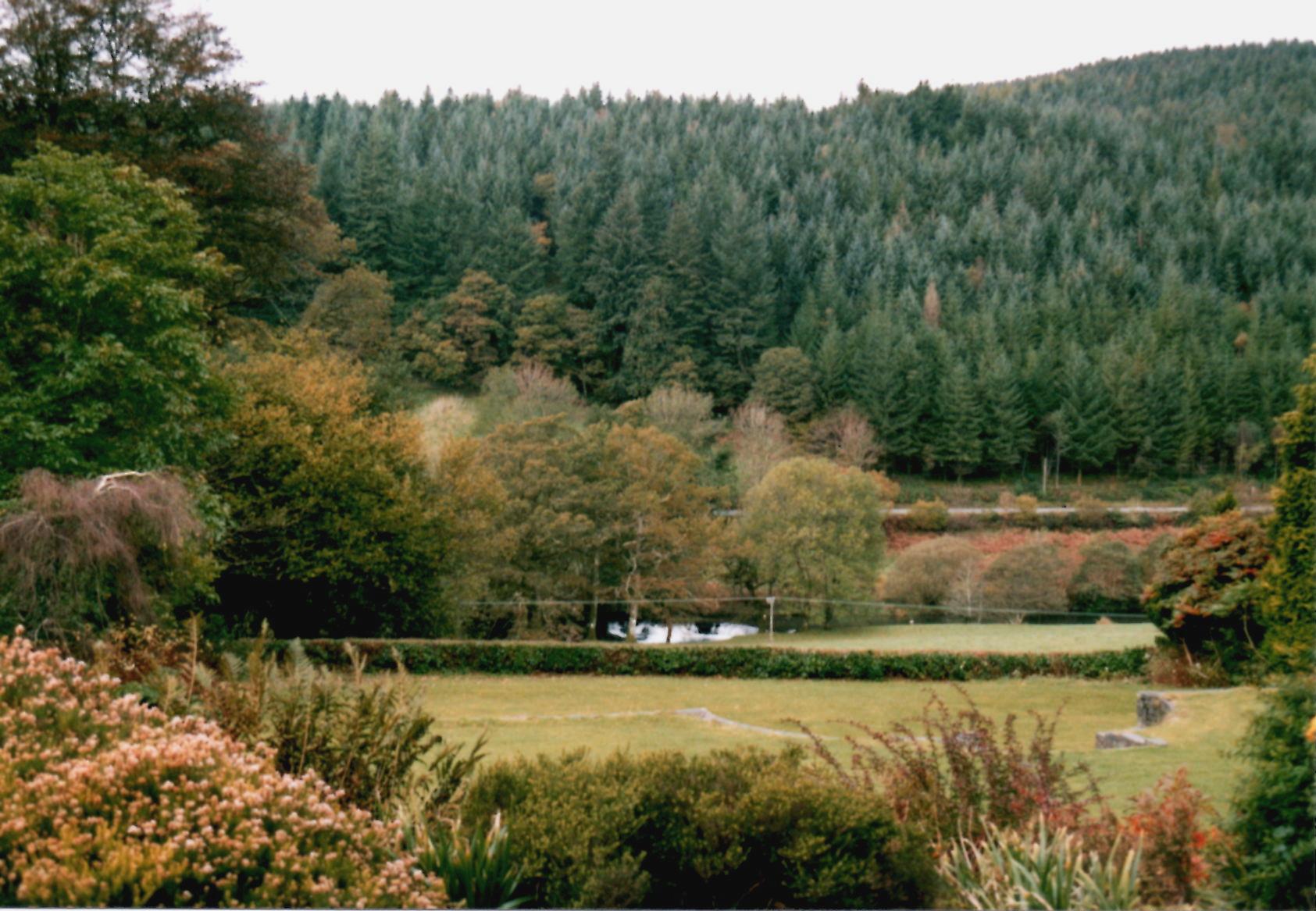
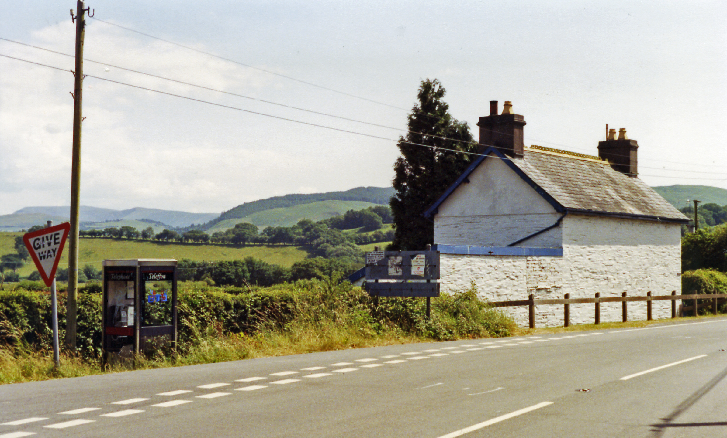
Coed Esgair is a picturesque woodland located in the county of Merionethshire, Wales. Nestled within the breathtaking Snowdonia National Park, this enchanting forest covers an area of approximately 150 hectares. The name "Coed Esgair" translates to "Wood, Forest" in English, perfectly capturing the essence of this natural wonder.

The forest boasts a diverse range of tree species, including oak, beech, and ash, creating a rich and vibrant ecosystem. The dense canopy provides a haven for a variety of wildlife, making it a popular destination for nature enthusiasts and birdwatchers. Visitors can expect to see a plethora of native bird species, such as red kites, buzzards, and woodpeckers.

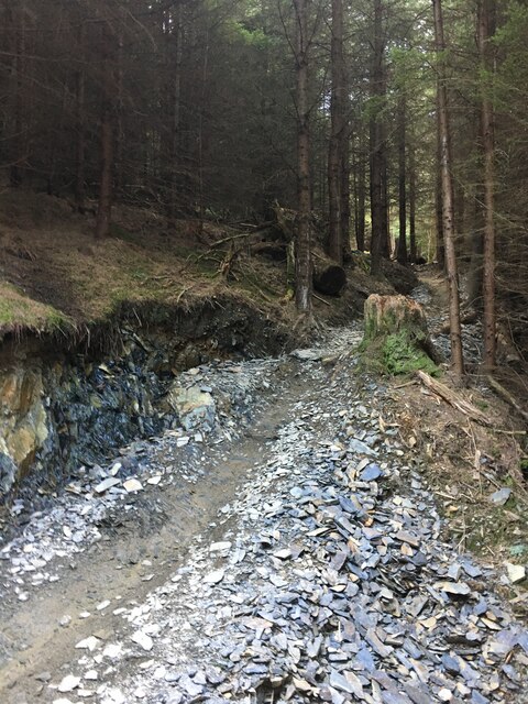
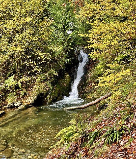
Numerous walking trails crisscross the woodland, allowing visitors to explore its beauty at their own pace. The paths wind through ancient trees, over babbling streams, and past tranquil ponds, offering a sense of tranquility and escape from the hustle and bustle of modern life. Along the way, hikers may encounter historic landmarks, such as remnants of old stone walls and the occasional abandoned mine, serving as a reminder of the area's rich industrial past.

Coed Esgair is a true haven for outdoor enthusiasts, offering opportunities for birdwatching, photography, picnicking, and simply immersing oneself in the natural splendor of the Welsh countryside. Whether visitors seek solitude, adventure, or a deeper connection with nature, this captivating forest never fails to deliver a memorable experience.

If you have any feedback on the listing, please let us know in the comments section below.

Coed Esgair Images

Images are sourced within 2km of 52.617625/-3.8577382 or Grid Reference SH7403. Thanks to Geograph Open Source API. All images are credited.

Footbridge over the River Dovey
Forestry road, Pantperthog
Forestry, Pantperthog
Mountain bike track, Dyfi Bike Park
Pont ar Ddyfi  Pont ar Ddyfi carrying the A487 over Afon Dyfi/River Dovey.
Pont ar Ddyfi
Pont ar Ddyfi carrying the A487 over Afon Dyfi/River Dovey.
View over Dyfi valley
Turning towards the Centre for Alternative Technology
Entrance to Tan y Coed
Temporary traffic lights Outside Machynlleth on the A487.
Temporary traffic lights
Outside Machynlleth on the A487.
Entrance to Bryn y Coed
Y Bont Dyfi newydd The new road bridge crossing the Dyfi plain north of Machynlleth is scheduled to open in early 2024.
Y Bont Dyfi newydd
The new road bridge crossing the Dyfi plain north of Machynlleth is scheduled to open in early 2024.
Pontydd ar Ddyfi To the left, the new Dyfi road bridge, due to be open in early 2024.  To the right, Machynlleth's Millennium Bridge for pedestrians and cyclists.
Pontydd ar Ddyfi
To the left, the new Dyfi road bridge, due to be open in early 2024. To the right, Machynlleth's Millennium Bridge for pedestrians and cyclists.
Y Bont Dyfi newydd The new Dyfi road bridge, from the footpath that runs underneath it.
Y Bont Dyfi newydd
The new Dyfi road bridge, from the footpath that runs underneath it.
Y Bont Dyfi newydd The northern end of the new Dyfi road bridge, due to open in early 2024, with the twenty-year old Millennium cycle/pedestrian bridge visible through its spans.
Y Bont Dyfi newydd
The northern end of the new Dyfi road bridge, due to open in early 2024, with the twenty-year old Millennium cycle/pedestrian bridge visible through its spans.
Afon Dyfi Autumn reflections on the Afon Dyfi near Machynlleth.
Afon Dyfi
Autumn reflections on the Afon Dyfi near Machynlleth.
Pont ar Ddyfi The long-suffering eighteenth century Dyfi bridge, which regularly floods and has chunks knocked out of it by lorries, is nearing the end of its working life.  When the new bridge (see <a href="https://www.geograph.org.uk/photo/7637589">SH7401 : Y Bont Dyfi newydd</a>) opens in early 2024, the road over the old bridge will be truncated.  There are discussions afoot as to how the old bridge might be repurposed in its retirement.
Pont ar Ddyfi
The long-suffering eighteenth century Dyfi bridge, which regularly floods and has chunks knocked out of it by lorries, is nearing the end of its working life. When the new bridge (see SH7401 : Y Bont Dyfi newydd) opens in early 2024, the road over the old bridge will be truncated. There are discussions afoot as to how the old bridge might be repurposed in its retirement.
Pont ar Ddyfi The long-suffering eighteenth century Dyfi bridge, which regularly floods and has chunks knocked out of it by lorries, is nearing the end of its working life. When the new bridge (see <a href="https://www.geograph.org.uk/photo/7637589">SH7401 : Y Bont Dyfi newydd</a>) opens in early 2024, the road over the old bridge will be truncated. There are discussions afoot as to how the old bridge might be repurposed in its retirement.
Pont ar Ddyfi
The long-suffering eighteenth century Dyfi bridge, which regularly floods and has chunks knocked out of it by lorries, is nearing the end of its working life. When the new bridge (see SH7401 : Y Bont Dyfi newydd) opens in early 2024, the road over the old bridge will be truncated. There are discussions afoot as to how the old bridge might be repurposed in its retirement.
Pistyll Nant Cwmcadian The little water shoot on the Nant Cwmcadian is approached from above by a path hewn through the rock.
Pistyll Nant Cwmcadian
The little water shoot on the Nant Cwmcadian is approached from above by a path hewn through the rock.
Show me another place!

Coed Esgair is located at Grid Ref: SH7403 (Lat: 52.617625, Lng: -3.8577382)

Unitary Authority: Gwynedd

Police Authority: North Wales

What 3 Words

///livid.snippet.submerge. Near Machynlleth, Powys

Related Wikis

Pantperthog

Pantperthog is a hamlet in southern Gwynedd in Wales, 2 miles north of Machynlleth and 14 miles southeast of Dolgellau. Nearby is the former Llwyngwern...

Llwyngwern railway station

Llwyngwern was a station on the Corris Railway in Wales, built to serve the hamlet of Pantperthog and the residents of Plas Llwyngwern, a house where a...

Wales Institute for Sustainable Education

The Wales Institute for Sustainable Education (WISE) is an educational building located at the Centre for Alternative Technology near Machynlleth, Powys...

Centre for Alternative Technology

The Centre for Alternative Technology (CAT) (Welsh: Canolfan y Dechnoleg Amgen) is an eco-centre in Montgomeryshire, Powys, Wales dedicated to demonstrating...

Centre for Alternative Technology Railway

The Centre for Alternative Technology Railway is a funicular opened in May 1992 and located in the Centre for Alternative Technology, Powys, Wales. �...

Llwyngwern quarry

The Llwyngwern quarry (sometimes known as Glandulas quarry or Maglona quarry) was a slate quarry in Wales that opened by 1828 and continued working until...

Ffridd Gate railway station

Ffridd Gate was a station on the Corris Railway in Merioneth (now Gwynedd), Wales, UK. It was built at the level crossing over the B4404 road to Llanwrin...

Dyfi Bridge

The Dyfi Bridge (Welsh: Pont ar Ddyfi), also known as the Machynlleth Bridge, Dovey Bridge, Pont Dyfi or Pont ar Dyfi, is a road bridge carrying the A487...

Have you been to Coed Esgair?

Leave your review of Coed Esgair below (or comments, questions and feedback).