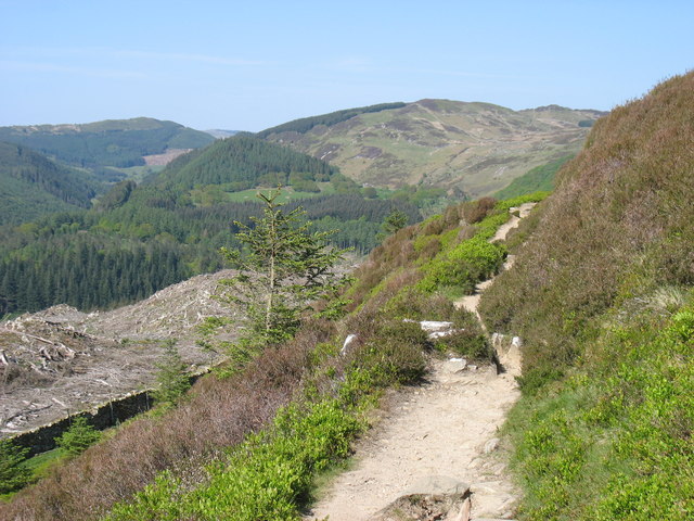
Coed Dôl-y-clochydd
Wood, Forest in Merionethshire
Wales
Coed Dôl-y-clochydd
The requested URL returned error: 429 Too Many Requests
If you have any feedback on the listing, please let us know in the comments section below.
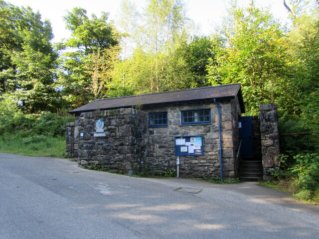
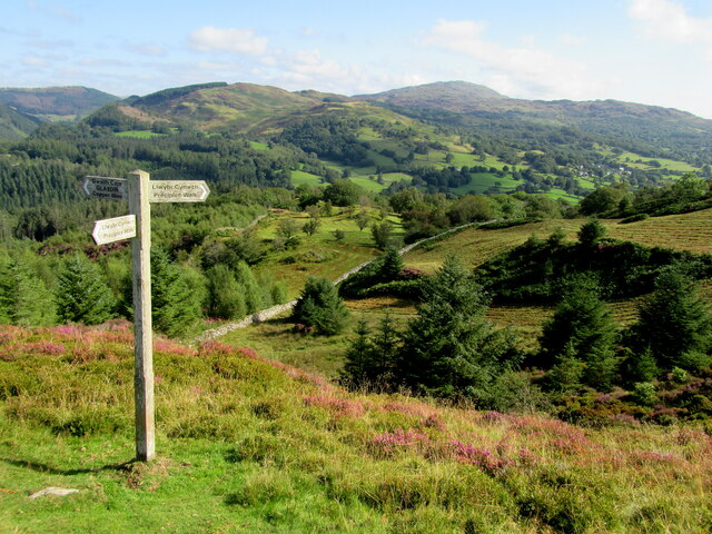
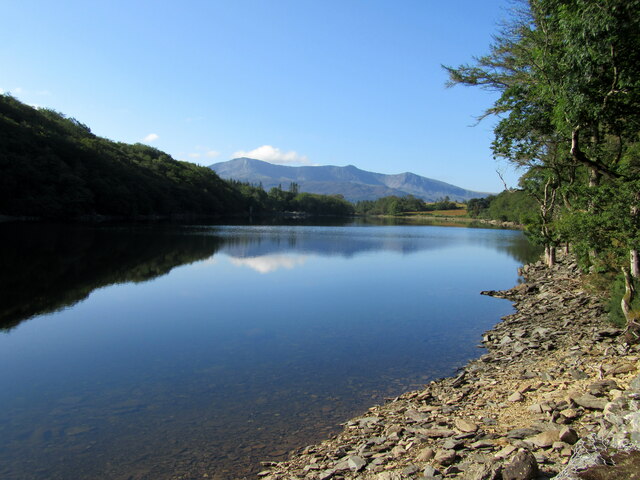
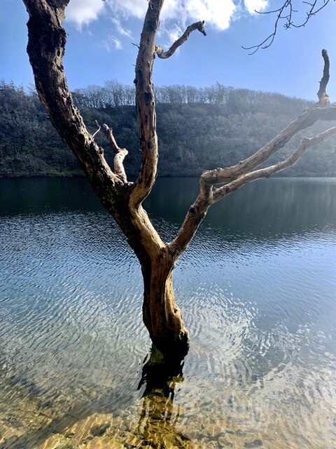
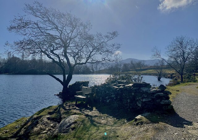
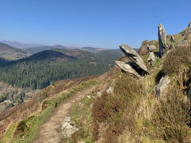
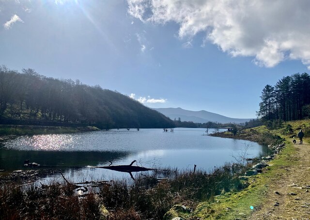
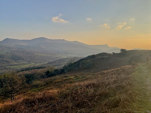
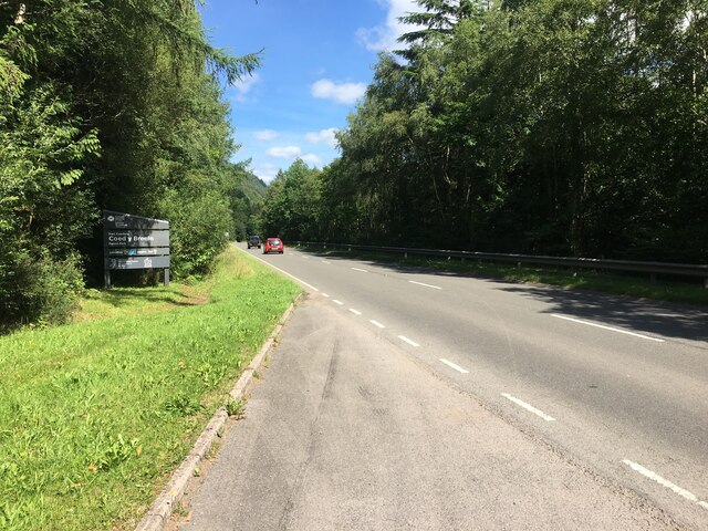
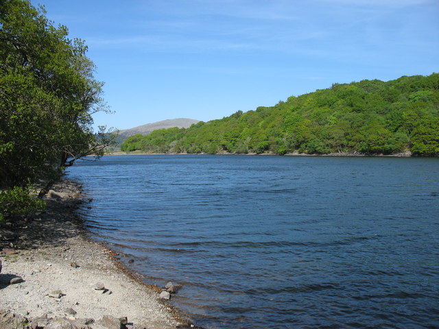
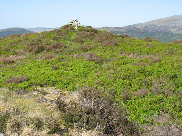
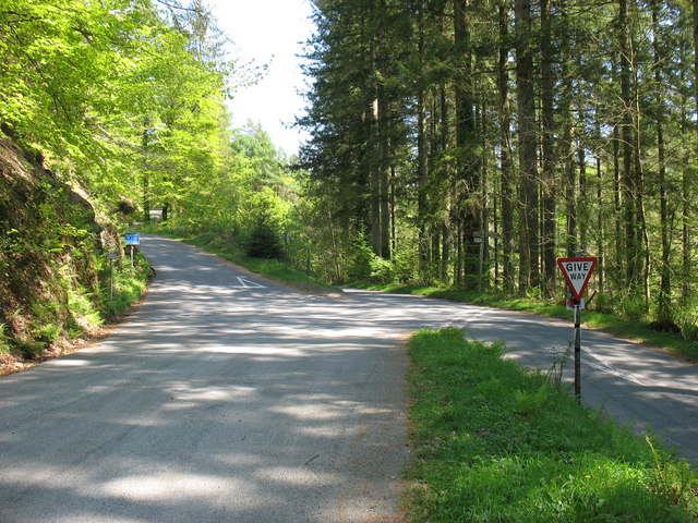
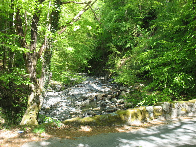
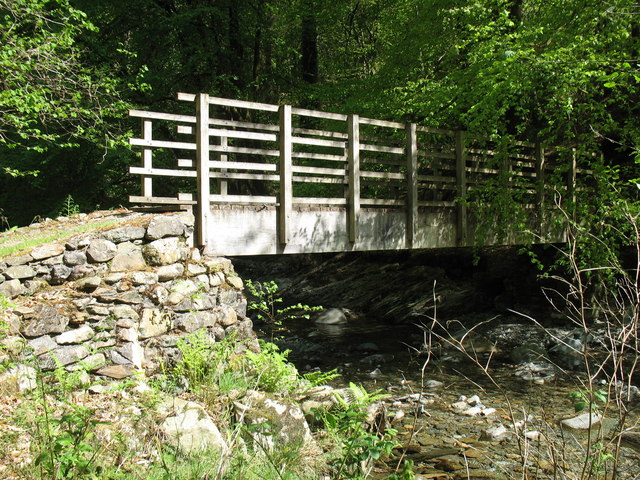
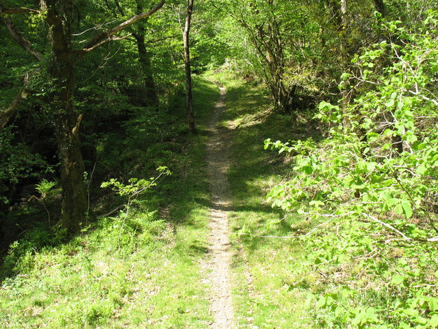
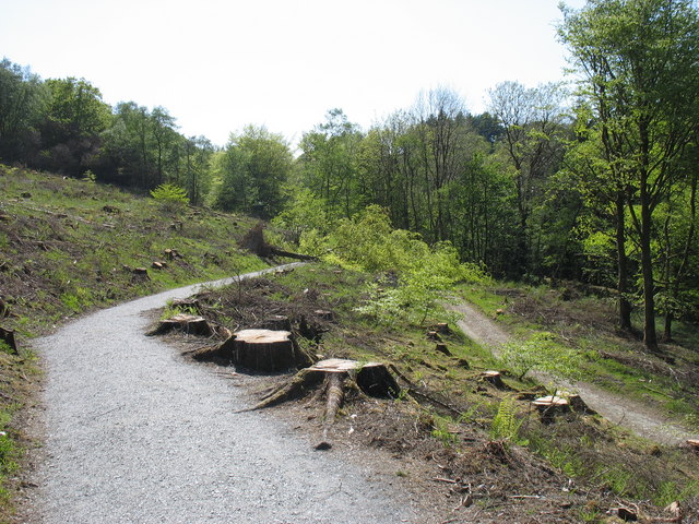
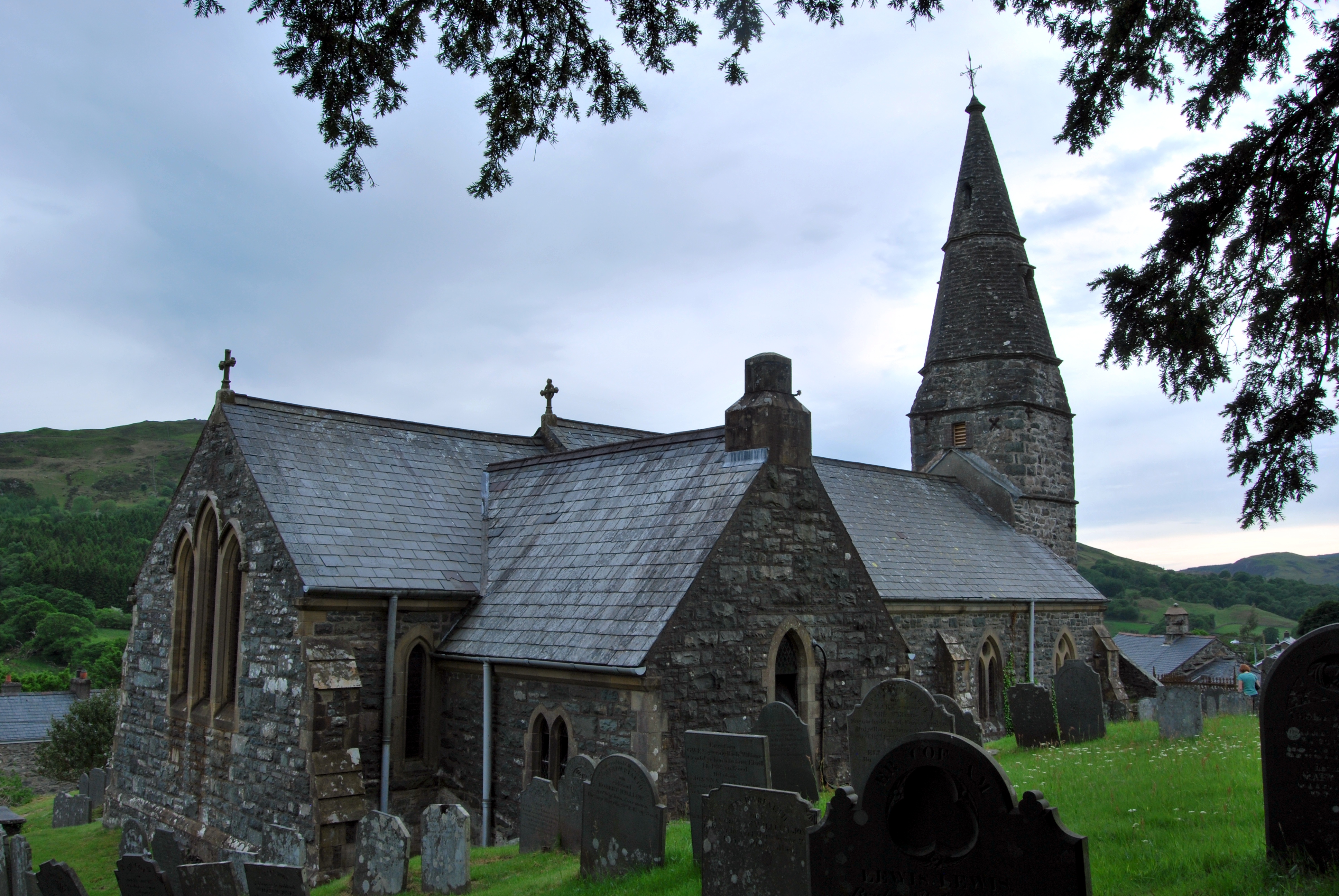
Coed Dôl-y-clochydd Images
Images are sourced within 2km of 52.779173/-3.8765929 or Grid Reference SH7321. Thanks to Geograph Open Source API. All images are credited.

Coed Dôl-y-clochydd is located at Grid Ref: SH7321 (Lat: 52.779173, Lng: -3.8765929)
Unitary Authority: Gwynedd
Police Authority: North Wales
What 3 Words
///iron.sprinter.goals. Near Dolgellau, Gwynedd
Nearby Locations
Related Wikis

Nannau, Wales
Nannau (Welsh for 'the place of many streams'') is a Georgian mansion and estate near the village of Llanfachreth, Gwynedd, North Wales, UK. The mansion...
Llanfachreth
Llanfachreth is a settlement approximately three miles north-east of Dolgellau, Gwynedd, in the community of Brithdir and Llanfachreth within the historic...

Ganllwyd
Ganllwyd is a small village and community in southern Gwynedd, Wales. It lies in the Snowdonia National Park to the north of Dolgellau. A470 passes through...

Dolmelynllyn Estate
Dolmelynllyn Estate is an area of farmland, woodland and parkland near the village of Ganllwyd in southern Gwynedd, Wales. It is owned by the National...
Nearby Amenities
Located within 500m of 52.779173,-3.8765929Have you been to Coed Dôl-y-clochydd?
Leave your review of Coed Dôl-y-clochydd below (or comments, questions and feedback).