Foel Cynwch
Hill, Mountain in Merionethshire
Wales
Foel Cynwch
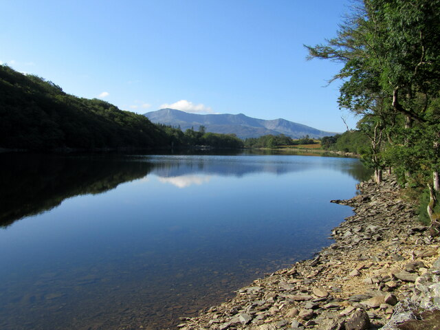
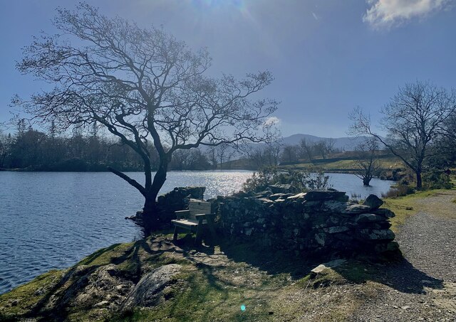
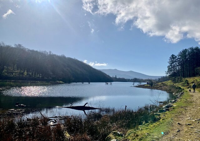
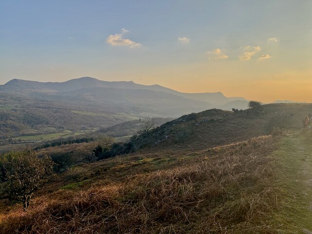
Located in the county of Merionethshire in Wales, Foel Cynwch is a prominent hill/mountain that stands at an elevation of 634 meters (2,080 feet) above sea level. It is situated within the southern part of Snowdonia National Park, near the village of Llanymawddwy. Foel Cynwch is part of the Cadair Idris range, which is well-known for its stunning natural beauty and rugged landscapes.
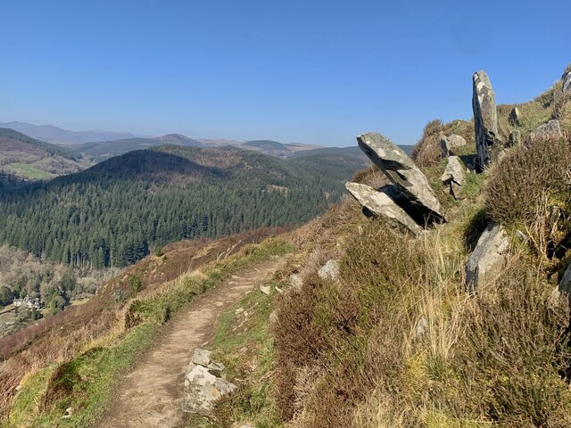
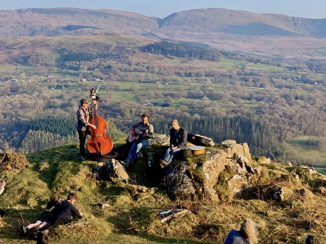
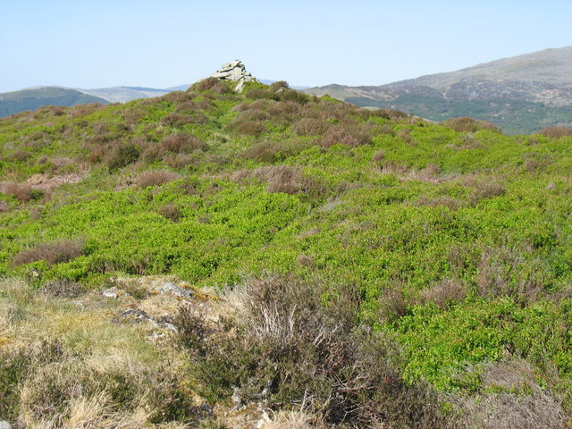
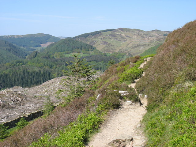
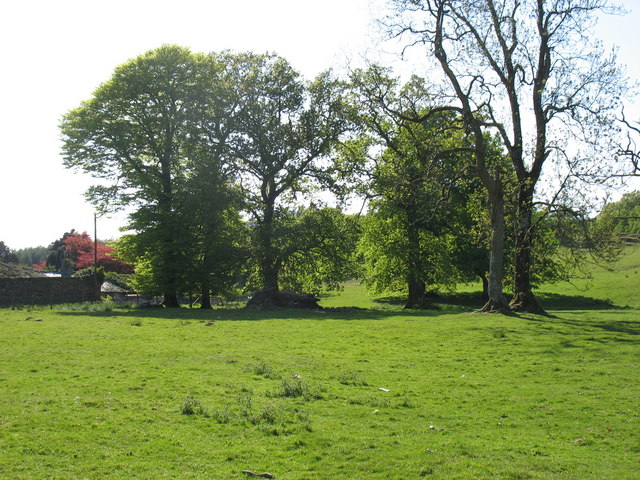
The hill/mountain is characterized by its distinctive pointed peak, offering breathtaking panoramic views of the surrounding countryside. Its slopes are covered in a mixture of grass and heather, with scattered rocky outcrops adding to its picturesque appeal. The terrain is relatively steep, especially towards the summit, making it a challenging but rewarding climb for hiking enthusiasts.
Foel Cynwch is home to a diverse range of flora and fauna, with several species of birds, small mammals, and plants inhabiting its slopes. It is also a popular spot for birdwatching, attracting enthusiasts who come to catch a glimpse of various species, including the red kite and peregrine falcon.
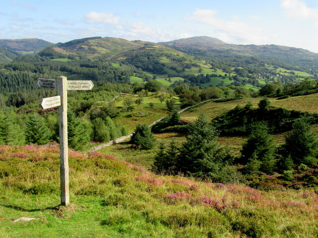
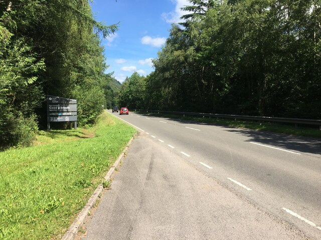
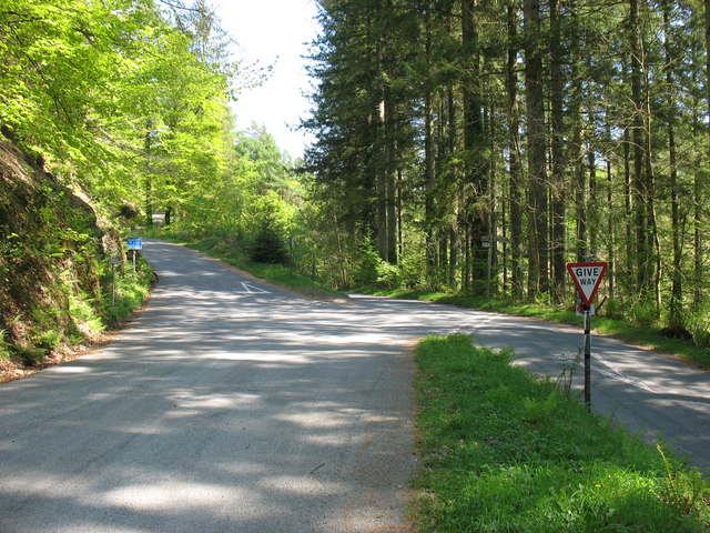
The mountain is easily accessible for visitors, with several walking routes and trails leading to its summit. The most popular starting point is the nearby village of Llanymawddwy, which provides ample parking facilities and amenities for visitors to explore the area.
Overall, Foel Cynwch offers a wonderful opportunity to immerse oneself in the natural beauty of Snowdonia National Park, with its stunning views, diverse wildlife, and challenging hiking experiences.
If you have any feedback on the listing, please let us know in the comments section below.
Foel Cynwch Images
Images are sourced within 2km of 52.772547/-3.8748995 or Grid Reference SH7321. Thanks to Geograph Open Source API. All images are credited.

Foel Cynwch is located at Grid Ref: SH7321 (Lat: 52.772547, Lng: -3.8748995)
Unitary Authority: Gwynedd
Police Authority: North Wales
What 3 Words
///decoded.pylon.reinforce. Near Dolgellau, Gwynedd
Nearby Locations
Related Wikis

Nannau, Wales
Nannau (Welsh for 'the place of many streams'') is a Georgian mansion and estate near the village of Llanfachreth, Gwynedd, North Wales, UK. The mansion...

Cymer Abbey
Cymer Abbey (Welsh: Abaty Cymer) is a ruined Cistercian abbey near the village of Llanelltyd, just north of Dolgellau, Gwynedd, in north-west Wales, United...
Llanfachreth
Llanfachreth is a settlement approximately three miles north-east of Dolgellau, Gwynedd, in the community of Brithdir and Llanfachreth within the historic...

Dolserau Halt railway station
Dolserau Halt (Pron: Dol-seh-rye) in Gwynedd, Wales, was on the Ruabon to Barmouth line. The platform edge was made of timber and was situated on the north...
Related Videos

Walking the Precipice...
Autumn Precipice walk, Dolgellau; #SlovakianRough HairedPointers #northwales #gogleddcymru #eryri #snowdonia ...

Trail Running | Precipice Walk: Trail near Dolgellau, Wales | Hiking, Running
Explore the Beauty of Precipice Walk - Dolgellau, Wales Embark on a captivating journey through the stunning landscapes of ...


Nearby Amenities
Located within 500m of 52.772547,-3.8748995Have you been to Foel Cynwch?
Leave your review of Foel Cynwch below (or comments, questions and feedback).