Coedalltacham
Wood, Forest in Glamorgan
Wales
Coedalltacham
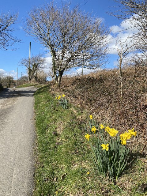
Coedalltacham is a historic wood located in Glamorgan, Wales. Nestled in the picturesque countryside, this forest is known for its natural beauty and rich biodiversity. Spanning over a vast area, it offers a tranquil retreat for nature enthusiasts and hikers alike.
The wood is predominantly composed of native tree species such as oak, beech, and birch, creating a dense canopy that provides shade and shelter to various wildlife species. The forest floor is adorned with a carpet of wildflowers, adding a burst of color to the surroundings.
Coedalltacham is home to a wide array of flora and fauna. Rare plant species, including the delicate wood sorrel and the vibrant bluebell, can be found here. The forest also provides a habitat for several bird species such as woodpeckers, owls, and buzzards. Deer, foxes, and badgers are among the mammals that inhabit the wood, making it an ideal spot for wildlife observation.
Visitors to Coedalltacham can explore the numerous walking trails that wind through the forest, offering breathtaking views of the surrounding countryside. The wood is also equipped with picnic areas and benches, inviting visitors to relax and enjoy the peaceful ambiance.
In addition to its natural beauty, Coedalltacham holds historical significance. It is believed to have been a sacred site for the ancient Celts, and remnants of their presence can be found scattered throughout the wood. These archaeological remnants, including stone circles and burial mounds, provide a glimpse into the area's rich cultural heritage.
Overall, Coedalltacham is a haven of tranquility, offering a blend of natural beauty, diverse wildlife, and historical intrigue. It is a must-visit destination for nature enthusiasts and history buffs alike.
If you have any feedback on the listing, please let us know in the comments section below.
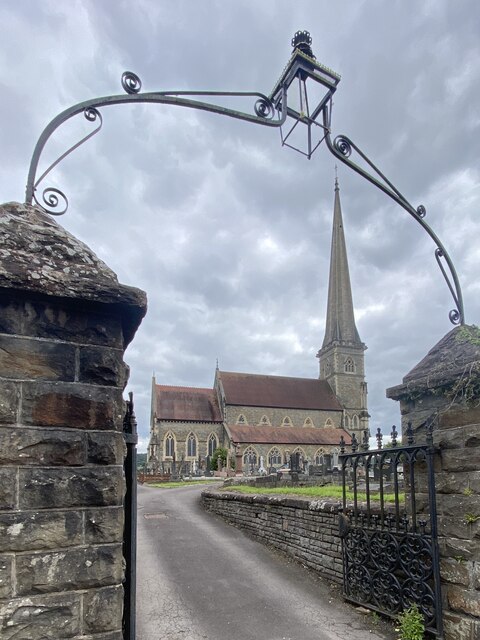
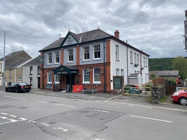
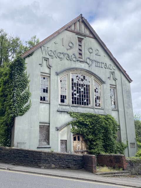
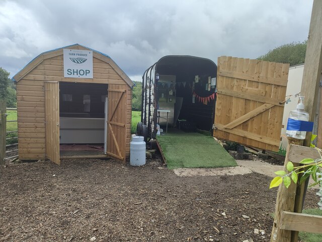
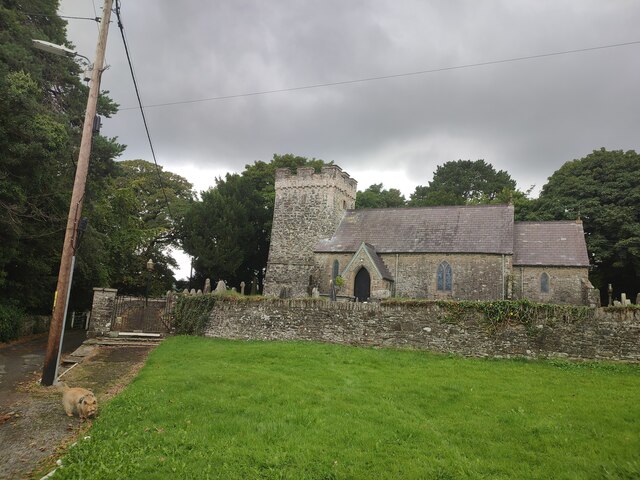
Coedalltacham Images
Images are sourced within 2km of 51.728567/-3.8461035 or Grid Reference SN7204. Thanks to Geograph Open Source API. All images are credited.


Coedalltacham is located at Grid Ref: SN7204 (Lat: 51.728567, Lng: -3.8461035)
Unitary Authority: Neath Port Talbot
Police Authority: South Wales
What 3 Words
///nags.juror.marbles. Near Ystalyfera, Neath Port Talbot
Nearby Locations
Related Wikis

Pontardawe (electoral ward)
Pontardawe is the name of an electoral ward of Neath Port Talbot county borough, Wales. It is a division of the Pontardawe community and falls within the...

Hubert Jones
Group Captain Hubert Wilson Godfrey Jones Penderel (7 October 1890 – 14 May 1943) was a British World War I flying ace credited with seven aerial victories...
Pontardawe
Pontardawe (Welsh pronunciation: [pɔntarˈdawɛ]) is a town and a community in the lower Swansea Valley (Welsh: Cwmtawe). it had a population of approximately...

A474 road
The A474 is a suburban main route in south Wales. == Route == Settlements served by the A474 include: Briton Ferry Neath Neath Abbey Cadoxton Rhyddings...

Pontardawe Arts Centre
Pontardawe Arts Centre is a multi-purpose cultural venue in Pontardawe, Neath Port Talbot, Wales. The building is owned by Neath Port Talbot County Borough...
Swansea Canal
The Swansea Canal (Welsh: Camlas Abertawe) was a canal constructed by the Swansea Canal Navigation Company between 1794 and 1798, running for 16.5 miles...

Pontardawe railway station
Pontardawe railway station was a railway station on the Swansea Vale Railway that served the town of Pontardawe in West Glamorgan, Wales. British Railways...
Pontardawe television relay station
The Pontardawe television relay station was originally built in 1974/1975 as a relay for UHF analogue television. It consists of a 45 m self-supporting...
Nearby Amenities
Located within 500m of 51.728567,-3.8461035Have you been to Coedalltacham?
Leave your review of Coedalltacham below (or comments, questions and feedback).