Coed Ganllwyd
Wood, Forest in Merionethshire
Wales
Coed Ganllwyd
Coed Ganllwyd, located in Merionethshire, is a stunning woodland area known for its natural beauty and tranquil surroundings. Situated in northwestern Wales, the name "Coed Ganllwyd" translates to "Wood, Forest" in English, which aptly describes the essence of this enchanting location.
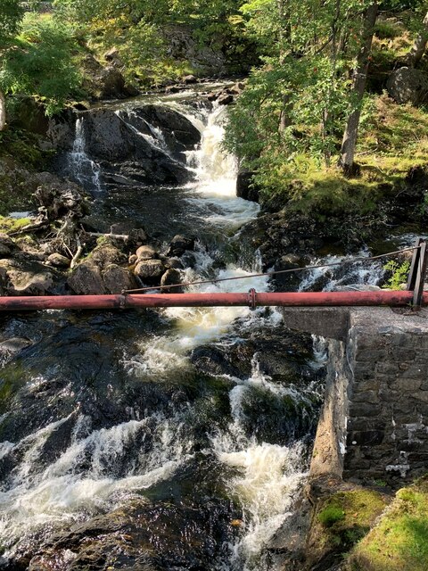
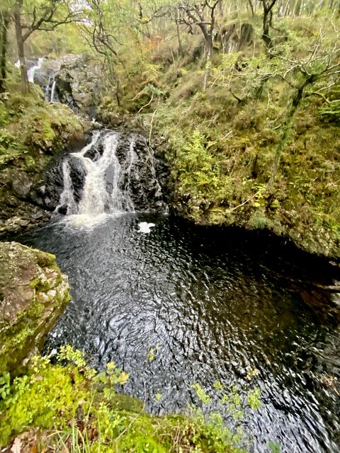
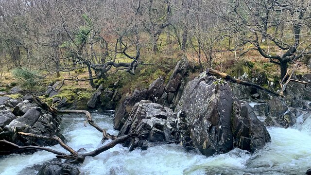
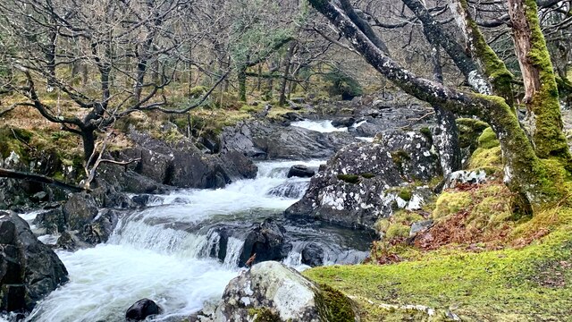
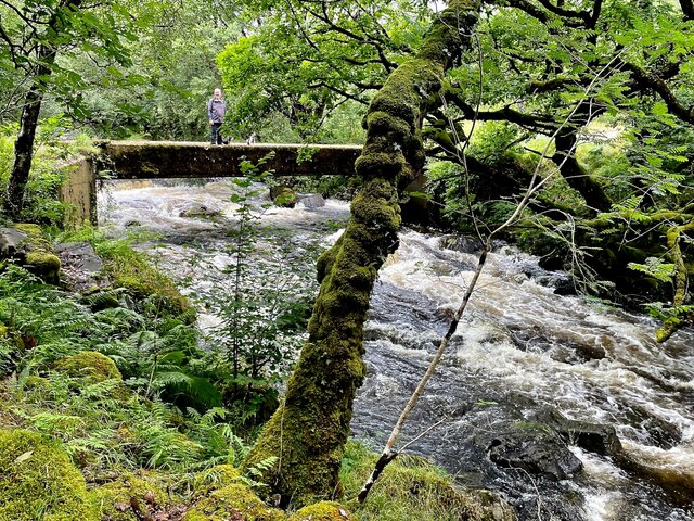
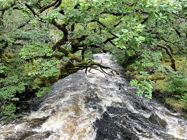
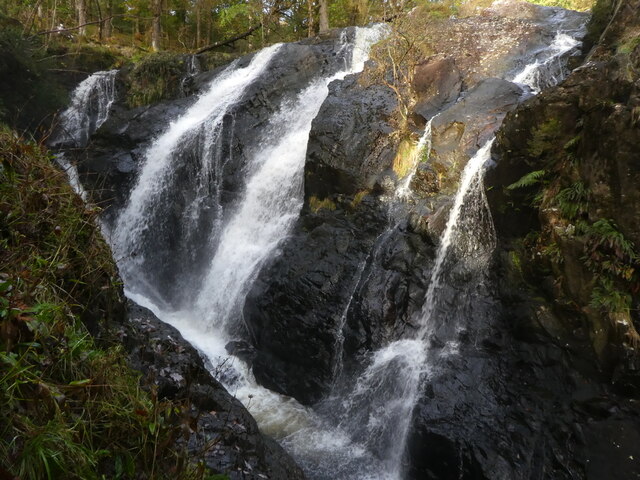
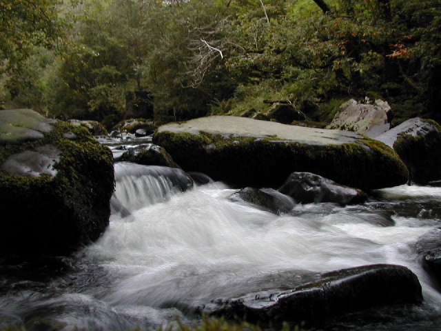
Covering an expansive area, Coed Ganllwyd is home to a diverse range of flora and fauna, making it a haven for nature enthusiasts and wildlife lovers alike. The woodland is characterized by dense forests of native trees, including oak, beech, and ash, which provide a rich habitat for a variety of birds, mammals, and insects. The forest floor is adorned with a vibrant carpet of mosses, ferns, and wildflowers, further enhancing the area's natural charm.
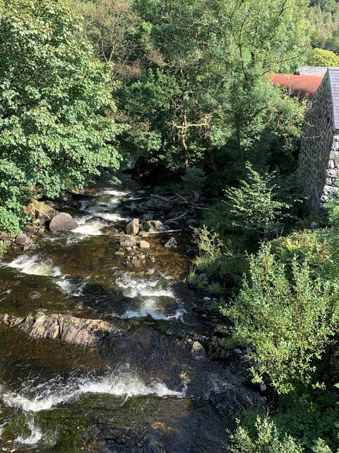
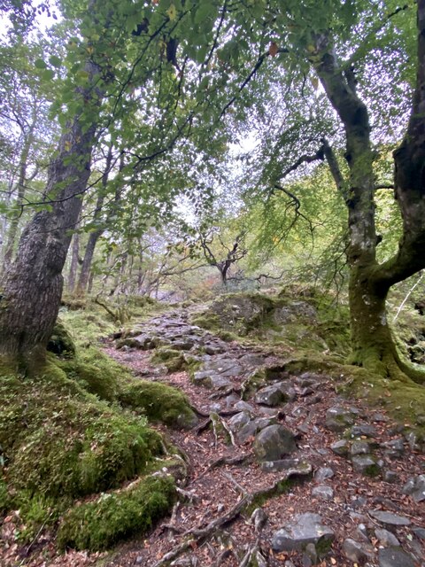
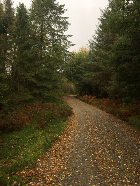
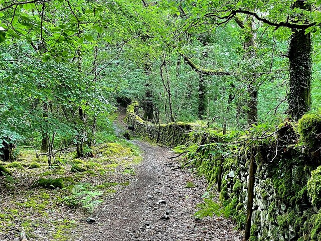
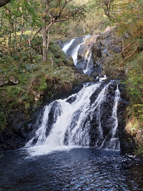
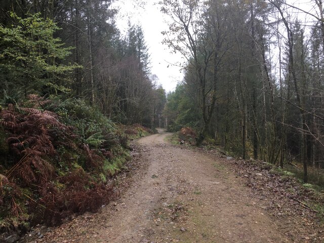
Numerous walking trails crisscross the woodland, inviting visitors to explore its hidden gems. These well-maintained paths offer breathtaking views of the surrounding landscape, with glimpses of rolling hills, cascading waterfalls, and meandering streams. The peaceful atmosphere and the soothing sounds of nature create a serene environment, making Coed Ganllwyd a popular destination for leisurely walks, picnics, and photography.
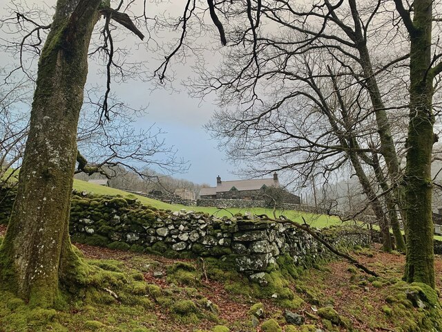
In addition to its natural beauty, Coed Ganllwyd holds historical and cultural significance. The woodland has remnants of ancient settlements and burial mounds, providing a glimpse into the area's rich past. Moreover, the local community actively participates in conservation efforts, ensuring the preservation of this valuable ecosystem for future generations.
Coed Ganllwyd is a true gem in Merionethshire, offering visitors a chance to immerse themselves in the wonders of nature while enjoying the peace and tranquility it provides.
If you have any feedback on the listing, please let us know in the comments section below.
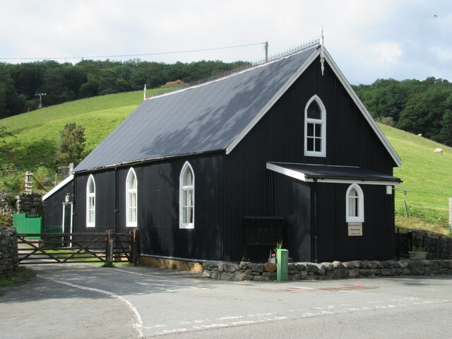
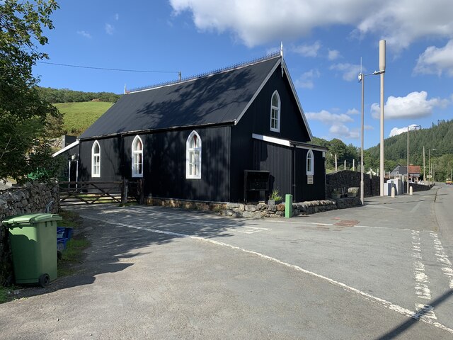
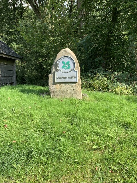
Coed Ganllwyd Images
Images are sourced within 2km of 52.799824/-3.895283 or Grid Reference SH7224. Thanks to Geograph Open Source API. All images are credited.
Coed Ganllwyd is located at Grid Ref: SH7224 (Lat: 52.799824, Lng: -3.895283)
Unitary Authority: Gwynedd
Police Authority: North Wales
What 3 Words
///existence.self.incensed. Near Dolgellau, Gwynedd
Nearby Locations
Related Wikis
Afon Eden
Afon Eden is a tributary river than runs into the Afon Mawddach in Gwynedd, Wales. It is a protected river because it is one of the few breeding grounds...

Dolmelynllyn Estate
Dolmelynllyn Estate is an area of farmland, woodland and parkland near the village of Ganllwyd in southern Gwynedd, Wales. It is owned by the National...

Ganllwyd
Ganllwyd is a small village and community in southern Gwynedd, Wales. It lies in the Snowdonia National Park to the north of Dolgellau. A470 passes through...

Coed Ganllwyd National Nature Reserve
Coed Ganllwyd National Nature Reserve is situated behind the village of Ganllwyd on the A470, about 9 kilometres north of Dolgellau in Wales, United Kingdom...

Y Garn (Rhinogydd)
For other hills of the same name, see Y Garn (disambiguation). Y Garn is a mountain in the southern Snowdonia, Wales, north of Dolgellau. It is an outlier...

Coed-y-Brenin
Coed y Brenin (Welsh for King's Forest) is a forest in the Snowdonia National Park, North Wales near Dolgellau at grid reference SH7127. It is popular...

Pistyll Cain
Pistyll Cain, also written as Pistill Cain and Pistill Y Caen, is a renowned waterfall in Meirionnydd (Sir Feirionnydd) in north Wales. It lies north-east...
Llanfachreth
Llanfachreth is a settlement approximately three miles north-east of Dolgellau, Gwynedd, in the community of Brithdir and Llanfachreth within the historic...
Nearby Amenities
Located within 500m of 52.799824,-3.895283Have you been to Coed Ganllwyd?
Leave your review of Coed Ganllwyd below (or comments, questions and feedback).