Glyn-meirch Wood

Wood, Forest in Glamorgan

Wales

Glyn-meirch Wood

Gellionnen Chapel
Gellionnen Chapel Credit: Sandy Gerrard

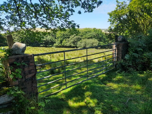
Glyn-meirch Wood, located in Glamorgan, Wales, is a picturesque forest renowned for its natural beauty and diverse wildlife. Covering an area of approximately 100 hectares, the wood is characterized by its dense canopy of native trees, including oak, beech, and ash.

The woodland is situated on the southern slopes of the Glamorgan Hills, offering visitors stunning views of the surrounding countryside. The forest is crisscrossed with a network of well-maintained footpaths, making it a popular destination for walkers, hikers, and nature enthusiasts.

The wood is home to a rich variety of flora and fauna. The forest floor is carpeted with bluebells in the spring, creating a vibrant and colorful display. It is also a habitat for numerous bird species, including woodpeckers, owls, and finches. Visitors may also spot mammals such as foxes, badgers, and deer.

Glyn-meirch Wood is managed by the local conservation authority, which ensures the preservation of its natural ecosystem. The wood is protected under various environmental laws, which prohibit logging and hunting within its boundaries.

In addition to its natural beauty, the wood also has historical significance. It is believed that the forest has been present since ancient times, and remnants of Bronze Age settlements have been discovered in the area.

Overall, Glyn-meirch Wood offers a tranquil escape from the hustle and bustle of everyday life, providing visitors with an opportunity to immerse themselves in nature and appreciate the wonders of this enchanting forest.

If you have any feedback on the listing, please let us know in the comments section below.

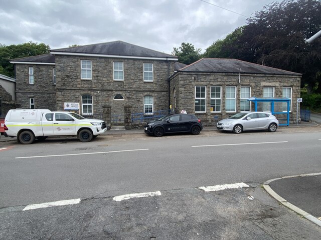
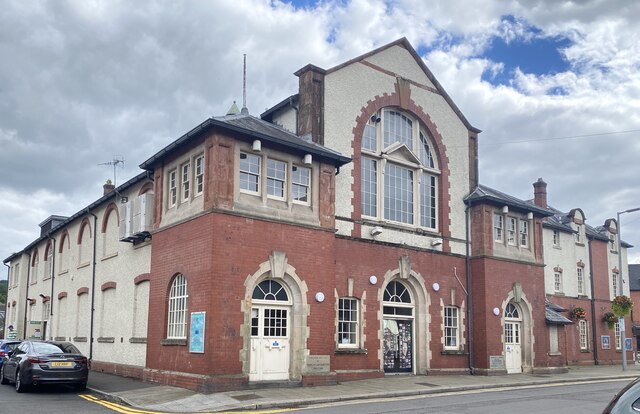
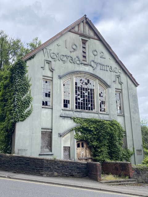
Glyn-meirch Wood Images

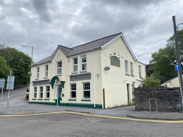
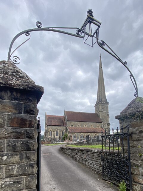
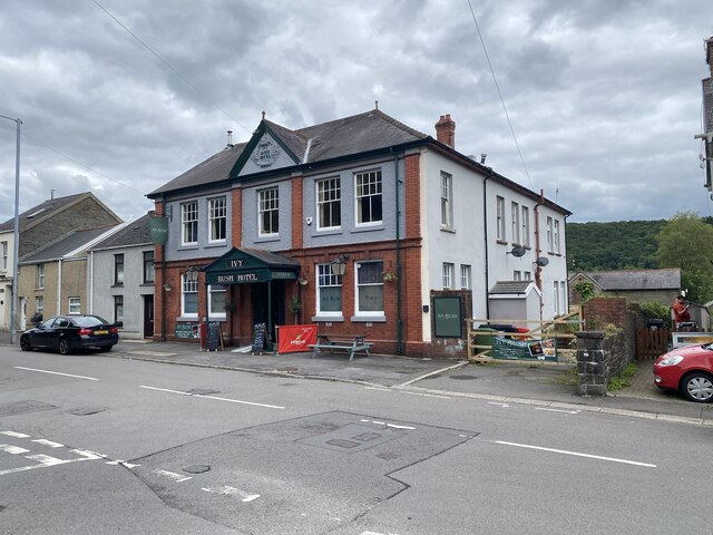
Images are sourced within 2km of 51.720706/-3.8598847 or Grid Reference SN7104. Thanks to Geograph Open Source API. All images are credited.

Gellionnen Chapel
Gellionnen Chapel
Adulam Baptist Chapel, Pontardawe Welsh Baptist Chapel built in 1845 and rebuilt in 1889 (1899?). Derelict since 2004 and subject to vandalism since then.

See <span class="nowrap"><a title="https://coflein.gov.uk/en/site/10119?term=Pontardawe%20&pg=2" rel="nofollow ugc noopener" href="https://coflein.gov.uk/en/site/10119?term=Pontardawe%20&pg=2">Link</a><img style="margin-left:2px;" alt="External link" title="External link - shift click to open in new window" src="https://s1.geograph.org.uk/img/external.png" width="10" height="10"/></span>
Adulam Baptist Chapel, Pontardawe
Welsh Baptist Chapel built in 1845 and rebuilt in 1889 (1899?). Derelict since 2004 and subject to vandalism since then. See LinkExternal link
Soar Welsh Presbyterian Church, Pontardawe Built in 1866 and restored in 1901. 

See <span class="nowrap"><a title="https://coflein.gov.uk/en/site/10100/" rel="nofollow ugc noopener" href="https://coflein.gov.uk/en/site/10100/">Link</a><img style="margin-left:2px;" alt="External link" title="External link - shift click to open in new window" src="https://s1.geograph.org.uk/img/external.png" width="10" height="10"/></span>
Soar Welsh Presbyterian Church, Pontardawe
Built in 1866 and restored in 1901. See LinkExternal link
Gosen Apostolic Church See <span class="nowrap"><a title="https://coflein.gov.uk/en/site/13414?term=Pontardawe%20&pg=2" rel="nofollow ugc noopener" href="https://coflein.gov.uk/en/site/13414?term=Pontardawe%20&pg=2">Link</a><img style="margin-left:2px;" alt="External link" title="External link - shift click to open in new window" src="https://s1.geograph.org.uk/img/external.png" width="10" height="10"/></span>
Gosen Apostolic Church
See LinkExternal link
Pontardawe Library The building also serves as the Pontardawe Hwb - a community facility.
Pontardawe Library
The building also serves as the Pontardawe Hwb - a community facility.
Kitty’s, Pontardawe Public house in Pontardawe.
Kitty’s, Pontardawe
Public house in Pontardawe.
Dynevor Arms Public House in Pontardawe.
Dynevor Arms
Public House in Pontardawe.
St Peter’s Church, Pontardawe
Bodybuilding Hardcore Gym Formerly the Pavilion Cinema.

See also <span class="nowrap"><a title="https://coflein.gov.uk/en/site/416827/?term=Pontardawe%20" rel="nofollow ugc noopener" href="https://coflein.gov.uk/en/site/416827/?term=Pontardawe%20">Link</a><img style="margin-left:2px;" alt="External link" title="External link - shift click to open in new window" src="https://s1.geograph.org.uk/img/external.png" width="10" height="10"/></span>
Bodybuilding Hardcore Gym
Formerly the Pavilion Cinema. See also LinkExternal link
Ivy Bush Hotel
Ivy Bush Hotel
School Lane, Pontardawe
Police Station, Pontardawe
Pontardawe Arts Centre Formerly Pontardawe Public Hall and Institute, built in 1908 and opened by Adelina Patti.

See <span class="nowrap"><a title="https://coflein.gov.uk/en/site/414794/?term=Pontardawe%20" rel="nofollow ugc noopener" href="https://coflein.gov.uk/en/site/414794/?term=Pontardawe%20">Link</a><img style="margin-left:2px;" alt="External link" title="External link - shift click to open in new window" src="https://s1.geograph.org.uk/img/external.png" width="10" height="10"/></span>
Pontardawe Arts Centre
Formerly Pontardawe Public Hall and Institute, built in 1908 and opened by Adelina Patti. See LinkExternal link
Wesleyaid Cymraeg Horeb Welsh Wesleyan Chapel.

The building was noted for its "spray of wild typography on the upper façade", marking out the words "1902 - Wesleyaid Cymraeg".
Wesleyaid Cymraeg
Horeb Welsh Wesleyan Chapel. The building was noted for its "spray of wild typography on the upper façade", marking out the words "1902 - Wesleyaid Cymraeg".
Gateway near Ffynnon-wen Spring
Ordnance Survey Cut Mark This OS cut mark can be found on the wall of No70 Gwyn Street. It marks a point 53.273m above mean sea level.
Ordnance Survey Cut Mark
This OS cut mark can be found on the wall of No70 Gwyn Street. It marks a point 53.273m above mean sea level.
Farmland looking towards Gwern-llwyn farm What looks like meadow land in the foreground was briefly an open scar on the landscape a couple of years ago as the gas gas pipeline work passed straight through this area.
Farmland looking towards Gwern-llwyn farm
What looks like meadow land in the foreground was briefly an open scar on the landscape a couple of years ago as the gas gas pipeline work passed straight through this area.
Cricket on Pontardawe Recreation Ground Pontardawe Recreation Ground is on the flood plain of the River Tawe, which is behind the trees on the right of the photograph.  The Swansea Canal runs below the houses.
Cricket on Pontardawe Recreation Ground
Pontardawe Recreation Ground is on the flood plain of the River Tawe, which is behind the trees on the right of the photograph. The Swansea Canal runs below the houses.
Show me another place!

Glyn-meirch Wood is located at Grid Ref: SN7104 (Lat: 51.720706, Lng: -3.8598847)

Unitary Authority: Neath Port Talbot

Police Authority: South Wales

What 3 Words

///houseboat.talker.chimp. Near Clydach, Swansea

Related Wikis

Alltwen television relay station

The Alltwen television relay station is sited on a hill to the southwest of Pontardawe in the Swansea Valley, at least a kilometre away from the village...

A474 road

The A474 is a suburban main route in south Wales. == Route == Settlements served by the A474 include: Briton Ferry Neath Neath Abbey Cadoxton Rhyddings...

Trebanos (electoral ward)

Trebanos is an electoral ward of Neath Port Talbot county borough, Wales, part of the Pontardawe community. Trebanos includes some or all of the following...

Pontardawe

Pontardawe (Welsh pronunciation: [pɔntarˈdawɛ]) is a town and a community in the lower Swansea Valley (Welsh: Cwmtawe). it had a population of approximately...

Pontardawe Arts Centre

Pontardawe Arts Centre is a multi-purpose cultural venue in Pontardawe, Neath Port Talbot, Wales. The building is owned by Neath Port Talbot County Borough...

Cwmtawe Community School

Cwmtawe Community School (in Welsh: Ysgol Gymunedol Cwmtawe) Formerly known as Pontardawe Technical School and Cwmtawe Comprehensive School, is a modern...

Pontardawe Tinplate Works

Pontardawe Tinplate Works was a tinplate works in Pontardawe, Wales. The factory was founded in 1843 by William Parsons, as the Primrose Forge and Tinplate...

Pontardawe (electoral ward)

Pontardawe is the name of an electoral ward of Neath Port Talbot county borough, Wales. It is a division of the Pontardawe community and falls within the...

Nearby Amenities

Located within 500m of 51.720706,-3.8598847
Traffic Signals
Lat/Long: 51.7202668/-3.8534627
Addr Postcode: SA8 4RJ
Lat/Long: 51.7215581/-3.8644417
Atm
Fee: no
Operator: Barclays Bank PLC
Lat/Long: 51.7209813/-3.8526759
Information: board
Tourism: information
Lat/Long: 51.7203746/-3.8540563
Post Box
Collection Times: Mo-Fr 17:00; Sa 11:30
Post Box Type: pillar
Ref: SA8 653
Royal Cypher: EIIR
Royal Cypher Wikidata: Q33102113
Lat/Long: 51.7197047/-3.8539113
Power: pole
Lat/Long: 51.7197341/-3.8668951
Power: pole
Lat/Long: 51.7196477/-3.8652027
Power: pole
Lat/Long: 51.7194466/-3.8609192
Power: pole
Lat/Long: 51.7188567/-3.8592857
Power: pole
Lat/Long: 51.7184745/-3.8583925
Location Transition: yes
Power: pole
Lat/Long: 51.7186241/-3.8559598
Location Transition: yes
Power: pole
Lat/Long: 51.7187172/-3.855941
Power: pole
Lat/Long: 51.7187994/-3.8570125
Power: pole
Lat/Long: 51.7196543/-3.8581646
Power: pole
Lat/Long: 51.7201794/-3.8594037
Power: pole
Lat/Long: 51.7205782/-3.861182
Power: pole
Lat/Long: 51.7212379/-3.86406
Power: pole
Lat/Long: 51.7216715/-3.8659926
Man Made: mast
Tower Type: communication
Lat/Long: 51.7192638/-3.8594332
Direction: SSE
Generator Method: photovoltaic
Generator Output Electricity: yes
Generator Solar Modules: 12
Generator Source: solar
Generator Type: solar_photovoltaic_panel
Location: roof
Power: generator
Lat/Long: 51.7244563/-3.8570729
Direction: SSE
Generator Method: photovoltaic
Generator Output Electricity: yes
Generator Solar Modules: 10
Generator Source: solar
Generator Type: solar_photovoltaic_panel
Location: roof
Power: generator
Lat/Long: 51.7245832/-3.8568523
Direction: S
Generator Method: photovoltaic
Generator Output Electricity: yes
Generator Solar Modules: 20
Generator Source: solar
Generator Type: solar_photovoltaic_panel
Location: roof
Power: generator
Lat/Long: 51.7228562/-3.8545483
Direction: 185
Generator Method: photovoltaic
Generator Output Electricity: yes
Generator Solar Modules: 8
Generator Source: solar
Generator Type: solar_photovoltaic_panel
Location: roof
Power: generator
Lat/Long: 51.7228658/-3.8536192
Direction: SSW
Generator Method: photovoltaic
Generator Output Electricity: yes
Generator Solar Modules: 10
Generator Source: solar
Generator Type: solar_photovoltaic_panel
Location: roof
Power: generator
Lat/Long: 51.7215519/-3.8528109
Direction: 125
Generator Method: photovoltaic
Generator Output Electricity: yes
Generator Solar Modules: 16
Generator Source: solar
Generator Type: solar_photovoltaic_panel
Location: roof
Power: generator
Lat/Long: 51.7174509/-3.8566431
Direction: 190
Generator Method: photovoltaic
Generator Output Electricity: yes
Generator Solar Modules: 12
Generator Source: solar
Generator Type: solar_photovoltaic_panel
Location: roof
Power: generator
Lat/Long: 51.7225306/-3.8538381
The data included in this document is from www.openstreetmap.org. The data is made available under ODbL.

Have you been to Glyn-meirch Wood?

Leave your review of Glyn-meirch Wood below (or comments, questions and feedback).