Coed Gelli-goch
Wood, Forest in Merionethshire
Wales
Coed Gelli-goch

Coed Gelli-goch, located in Merionethshire, is a picturesque woodland area renowned for its natural beauty and rich biodiversity. Spanning approximately 100 acres, this ancient forest is a haven for nature lovers and outdoor enthusiasts.
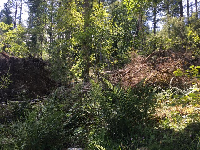
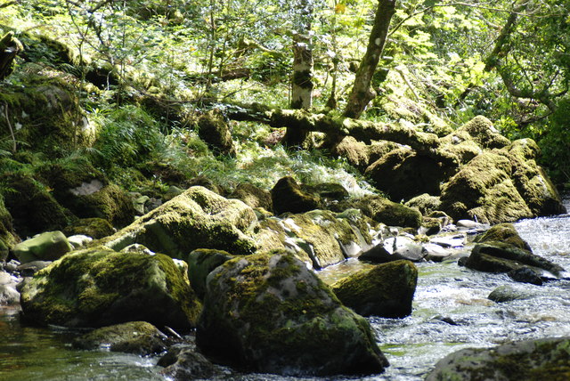
The woodland is characterized by its dense canopy of towering oak, beech, and pine trees, which provide a sanctuary for a diverse range of flora and fauna. The forest floor is carpeted with a plethora of wildflowers, including bluebells, primroses, and wood anemones, creating a vibrant and colorful backdrop during the spring and summer months.
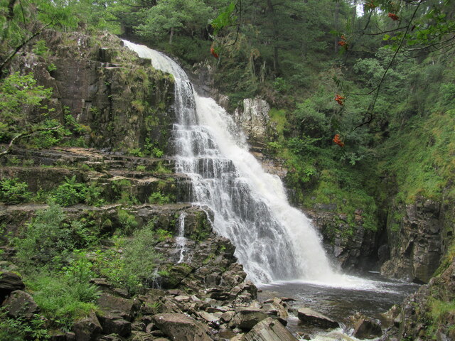
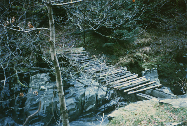
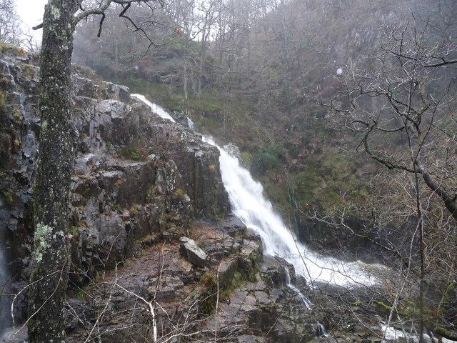
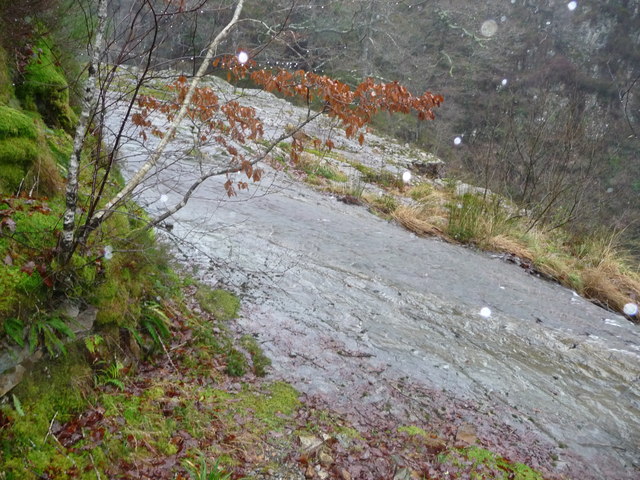
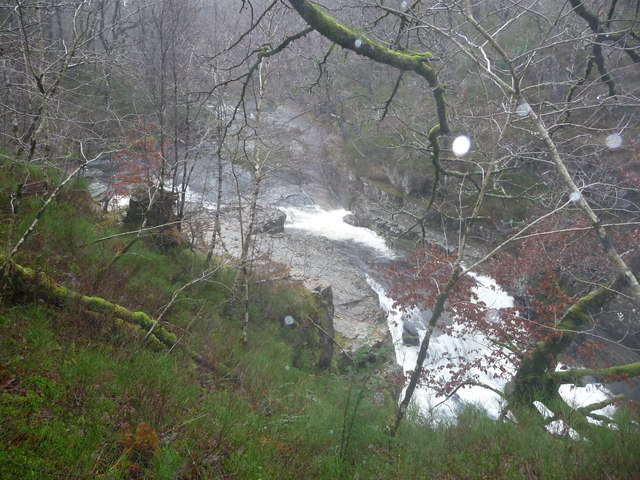
Home to an array of wildlife, Coed Gelli-goch offers a perfect habitat for various bird species, such as woodpeckers, owls, and finches. The forest also supports a thriving population of mammals, including foxes, badgers, and squirrels. The presence of a small river running through the woodland further enhances its appeal, attracting otters and water voles.
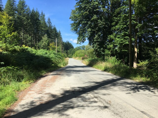
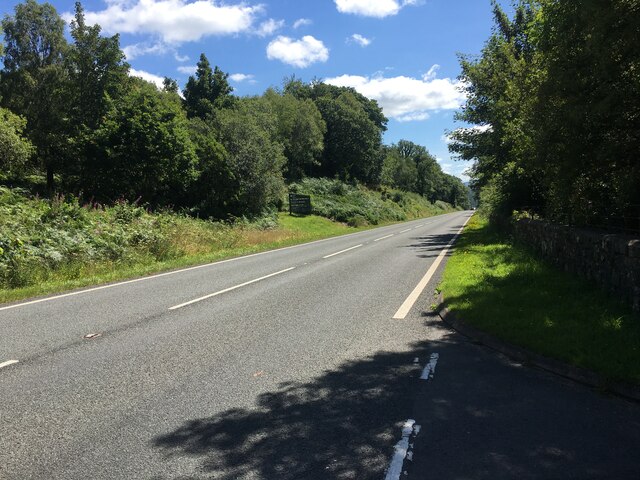
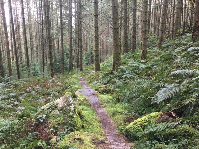
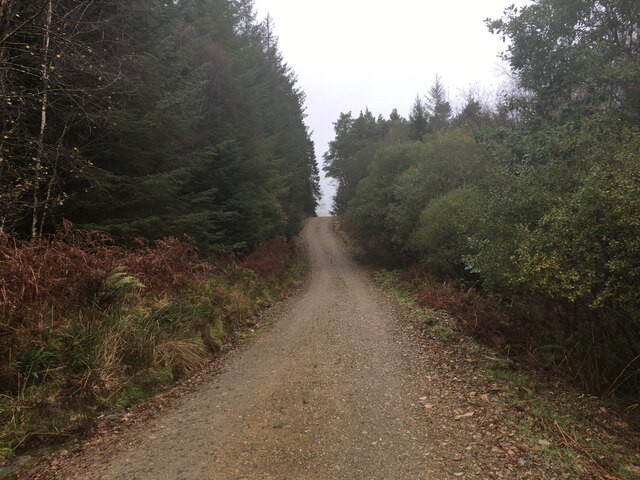
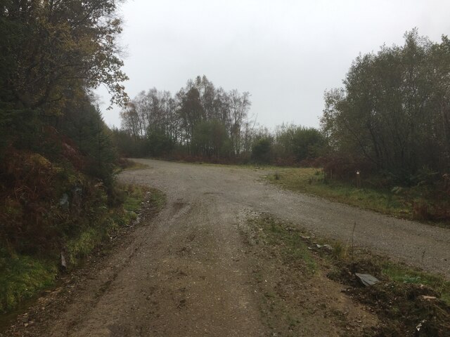
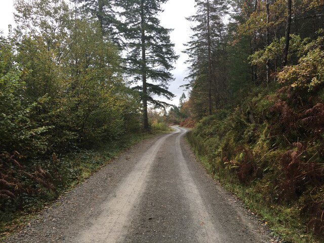
The forest is crisscrossed by numerous walking trails, allowing visitors to explore its beauty at their own pace. These trails lead to breathtaking viewpoints, offering panoramic vistas of the surrounding countryside and nearby mountains. Additionally, Coed Gelli-goch is a popular destination for nature photography, with its tranquil atmosphere and stunning landscapes providing ample opportunities for capturing memorable shots.
Managed by a local conservation organization, the woodland is committed to preserving its natural heritage and promoting sustainable practices. Regular conservation efforts, such as tree planting and wildlife monitoring, ensure the long-term preservation of this precious ecosystem for future generations to enjoy.
If you have any feedback on the listing, please let us know in the comments section below.
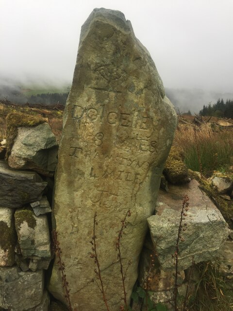
Coed Gelli-goch Images
Images are sourced within 2km of 52.835955/-3.9072486 or Grid Reference SH7128. Thanks to Geograph Open Source API. All images are credited.


Coed Gelli-goch is located at Grid Ref: SH7128 (Lat: 52.835955, Lng: -3.9072486)
Unitary Authority: Gwynedd
Police Authority: North Wales
What 3 Words
///rankings.relegate.risen. Near Bronaber, Gwynedd
Nearby Locations
Related Wikis

Gwynedd
Gwynedd (English: ; Welsh: [ˈɡʊɨ̯nɛð]) is a county in the north-west of Wales. It borders Anglesey across the Menai Strait to the north, Conwy, Denbighshire...

Coed-y-Brenin
Coed y Brenin (Welsh for King's Forest) is a forest in the Snowdonia National Park, North Wales near Dolgellau at grid reference SH7127. It is popular...

Pistyll Cain
Pistyll Cain, also written as Pistill Cain and Pistill Y Caen, is a renowned waterfall in Meirionnydd (Sir Feirionnydd) in north Wales. It lies north-east...
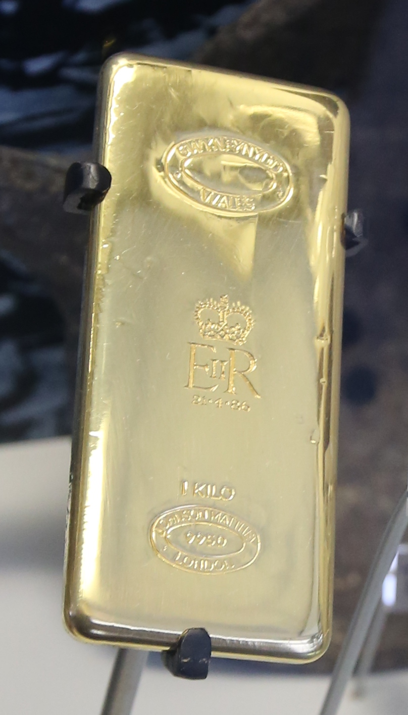
Gwynfynydd Gold Mine
Gwynfynydd Gold Mine is near Ganllwyd, Dolgellau, Gwynedd, Wales. The lode, which was discovered in 1860, was worked from 1884. It has produced more than...

Harlech Dome
The Harlech Dome is a geological dome in southern Snowdonia in north Wales. It extends approximately from Blaenau Ffestiniog in the north to Tywyn in the...

Bronaber
Bronaber is a village in Gwynedd, Wales, adjacent to the A470 north of Dolgellau and in Trawsfynydd community. == General information == During the Second...

Dolmelynllyn Estate
Dolmelynllyn Estate is an area of farmland, woodland and parkland near the village of Ganllwyd in southern Gwynedd, Wales. It is owned by the National...
Coed Ganllwyd National Nature Reserve
Coed Ganllwyd National Nature Reserve is situated behind the village of Ganllwyd on the A470, about 9 kilometres north of Dolgellau in Wales, United Kingdom...
Nearby Amenities
Located within 500m of 52.835955,-3.9072486Have you been to Coed Gelli-goch?
Leave your review of Coed Gelli-goch below (or comments, questions and feedback).