Coed yr Wyrlawd

Wood, Forest in Carmarthenshire

Wales

Coed yr Wyrlawd

Little England in Carmarthenshire Deep in rural Wales, this is Lloegr-fach, literally Little England.
Viewed across the A40 SW of Llanwrda.
Little England in Carmarthenshire Credit: Jaggery

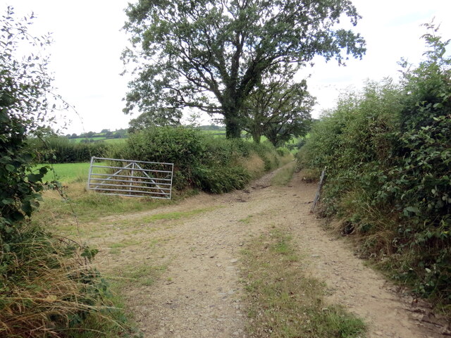
Coed yr Wyrlawd, located in Carmarthenshire, Wales, is a picturesque woodland that offers visitors a serene and immersive experience in nature. Spanning approximately 200 acres, this enchanting forest is renowned for its diverse flora and fauna, making it a haven for wildlife enthusiasts and nature lovers.

The woodland is predominantly composed of native tree species, including oak, beech, and birch, creating a rich and vibrant ecosystem. Walking through the forest, visitors can admire the towering trees and listen to the soothing sounds of birdsong, providing a tranquil escape from the hustle and bustle of everyday life.

Coed yr Wyrlawd is also home to a variety of wildlife species. Deer, foxes, and badgers can often be spotted roaming freely, while birdwatchers can delight in the sight of numerous species, including woodpeckers, buzzards, and owls. The forest's diverse habitats, including ancient woodland, wetland, and meadow areas, provide a sanctuary for these animals.

For outdoor enthusiasts, Coed yr Wyrlawd offers a network of well-maintained trails, allowing visitors to explore the woodland on foot or by bike. These paths wind through the forest, offering stunning views of the surrounding countryside and opportunities for peaceful picnics or photography sessions.

Managed by a local conservation organization, the woodland is also a site for ongoing ecological research and preservation efforts. Regular events and educational programs are organized, providing visitors with the chance to learn about the importance of sustainable forest management and biodiversity conservation.

In summary, Coed yr Wyrlawd in Carmarthenshire is a captivating woodland destination that offers a peaceful retreat in the heart of nature. With its diverse wildlife, scenic trails, and commitment to conservation, it is a must-visit location for anyone seeking a genuine connection with the natural world.

If you have any feedback on the listing, please let us know in the comments section below.

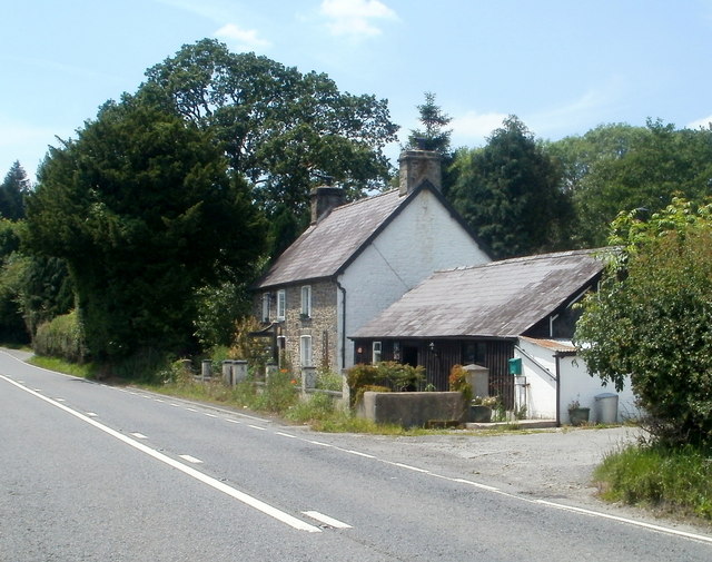
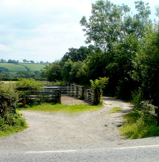
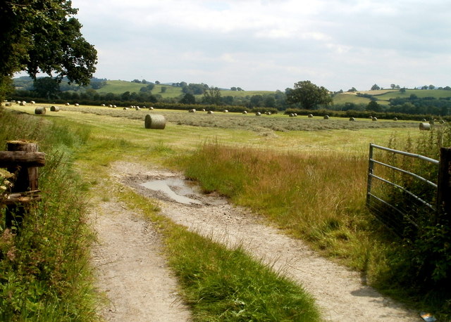
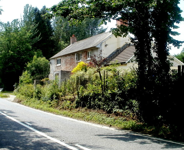
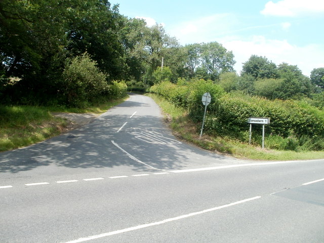
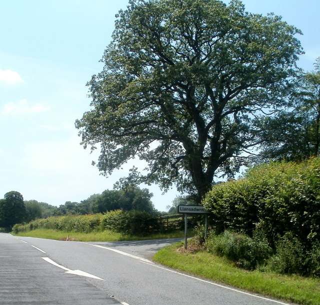
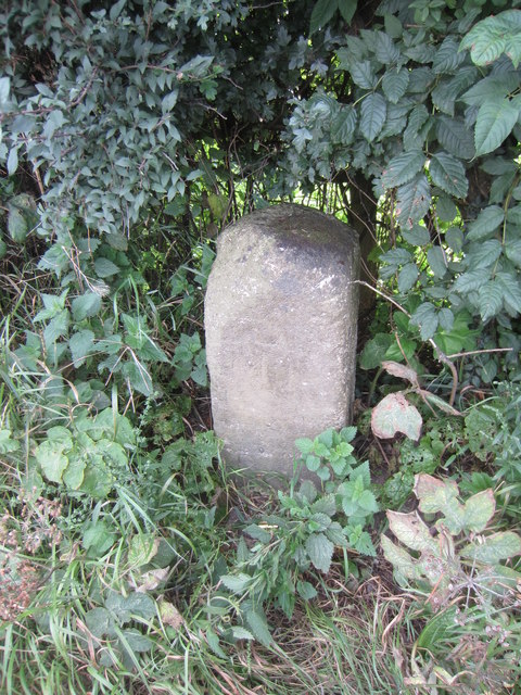
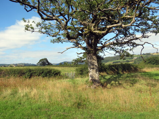
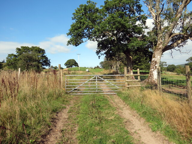
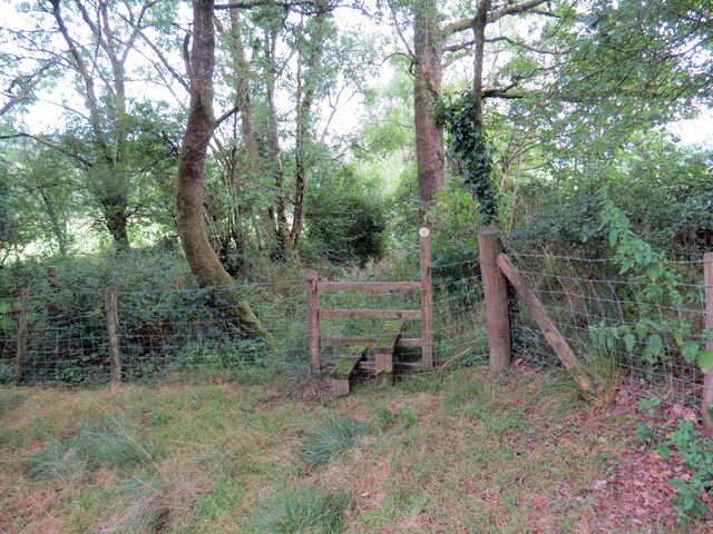
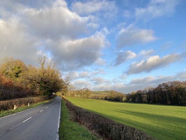
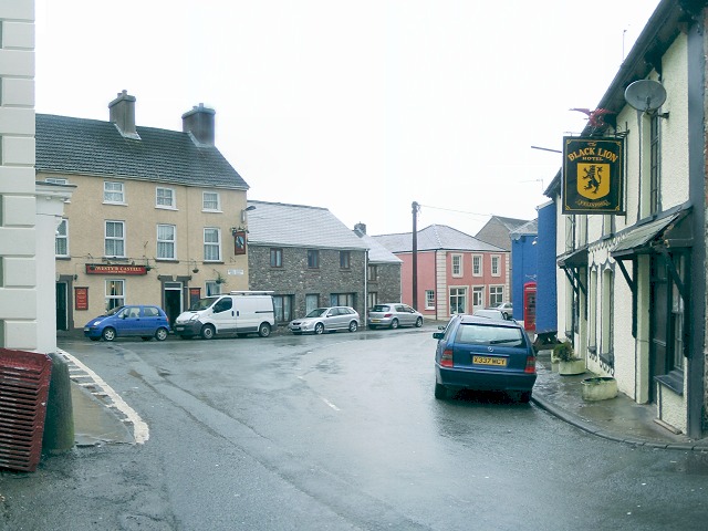
Coed yr Wyrlawd Images

Images are sourced within 2km of 51.954758/-3.8758738 or Grid Reference SN7130. Thanks to Geograph Open Source API. All images are credited.

Little England in Carmarthenshire Deep in rural Wales, this is Lloegr-fach, literally Little England.
Viewed across the A40 SW of Llanwrda.
Little England in Carmarthenshire
Deep in rural Wales, this is Lloegr-fach, literally Little England. Viewed across the A40 SW of Llanwrda.
Livestock pens near Llansadwrn The pens are alongside the A40 near Lloegr-fach. <a title="https://www.geograph.org.uk/photo/3220493" href="https://www.geograph.org.uk/photo/3220493">Link</a>
Livestock pens near Llansadwrn
The pens are alongside the A40 near Lloegr-fach. Link
Early July in rural Carmarthenshire A view of a field adjacent to pens <a title="https://www.geograph.org.uk/photo/3220699" href="https://www.geograph.org.uk/photo/3220699">Link</a> at the edge of the A40.
Early July in rural Carmarthenshire
A view of a field adjacent to pens Link at the edge of the A40.
Bryncoch near Llansadwrn Viewed from the A40 near Lloegr-fach. <a title="https://www.geograph.org.uk/photo/3220493" href="https://www.geograph.org.uk/photo/3220493">Link</a>
Bryncoch near Llansadwrn
Viewed from the A40 near Lloegr-fach. Link
Road to Llansadwrn Viewed from the A40. The sign shows 1 mile to Llansadwrn. <a href="https://www.geograph.org.uk/gridref/SN6931">SN6931</a>
Road to Llansadwrn
Viewed from the A40. The sign shows 1 mile to Llansadwrn. SN6931
Tree at a right turn for Llansadwrn Viewed across the A40 in rural Carmarthenshire SW of Llanwrda.
A sign points right to a minor road to Llansadwrn (1 mile).
Tree at a right turn for Llansadwrn
Viewed across the A40 in rural Carmarthenshire SW of Llanwrda. A sign points right to a minor road to Llansadwrn (1 mile).
Ordnance Survey Cut Mark This OS cut mark can be found on the roadside building at Lletty'ywen. It marks a point 66.968m above mean sea level.
Ordnance Survey Cut Mark
This OS cut mark can be found on the roadside building at Lletty'ywen. It marks a point 66.968m above mean sea level.
Ordnance Survey Cut Mark This OS cut mark can be found on the gateside wall to Brynheulog. It marks a point 76.411m above mean sea level.
Ordnance Survey Cut Mark
This OS cut mark can be found on the gateside wall to Brynheulog. It marks a point 76.411m above mean sea level.
Mile Stone Mile Stone near Brownhill Farm.
Mile Stone
Mile Stone near Brownhill Farm.
Llwybr ger Cae Siencyn / Path near Cae Siencyn Llwybr troed cyhoeddus yn mynd heibio i dderwen ger Ffarm Cae Siencyn.

A public footpath passing an oak tree near Cae Siencyn Farm (Trans. Siencyn's field).
Llwybr ger Cae Siencyn / Path near Cae Siencyn
Llwybr troed cyhoeddus yn mynd heibio i dderwen ger Ffarm Cae Siencyn. A public footpath passing an oak tree near Cae Siencyn Farm (Trans. Siencyn's field).
Llwybr ger Cefngornoeth / Path near Cefngornoeth Llwybr troed cyhoeddus yn mynd lan y tyle ger Ffarm Cefngornoeth.

A public footpath ascending the hill near Cefngornoeth Farm (trans. most bare or exposed ridge).
Llwybr ger Cefngornoeth / Path near Cefngornoeth
Llwybr troed cyhoeddus yn mynd lan y tyle ger Ffarm Cefngornoeth. A public footpath ascending the hill near Cefngornoeth Farm (trans. most bare or exposed ridge).
Llwybr i'r A4069 / Path to the A4069 Llwybr troed cyhoeddus yn mynd i gyfeiriad yr A4069.

A public footpath heading towards the A4069.
Llwybr i'r A4069 / Path to the A4069
Llwybr troed cyhoeddus yn mynd i gyfeiriad yr A4069. A public footpath heading towards the A4069.
Llwybr ceffyl ger Green Grove / Bridleway near Green Grove Llwybr ceffyl ger Ffarm Green Grove yn mynd i gyfeiriad yr A4069.

A bridleway near Green Grove Farm heading in the direction of the A4069.
Llwybr ceffyl ger Green Grove / Bridleway near Green Grove
Llwybr ceffyl ger Ffarm Green Grove yn mynd i gyfeiriad yr A4069. A bridleway near Green Grove Farm heading in the direction of the A4069.
Llangadog, St Cadoc
Llangadog, St Cadoc
Afon Tywi near Llangadog
Garden Centre Cafe Adjacent to Llangadog Station.
Garden Centre Cafe
Adjacent to Llangadog Station.
Field and house alongside A4069
A4069 towards Llandovery
Show me another place!

Coed yr Wyrlawd is located at Grid Ref: SN7130 (Lat: 51.954758, Lng: -3.8758738)

Unitary Authority: Carmarthenshire

Police Authority: Dyfed Powys

What 3 Words

///jukebox.probably.impresses. Near Llansadwrn, Carmarthenshire
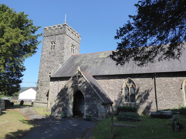
Related Wikis

Llanwrda railway station

Llanwrda railway station serves the village of Llanwrda near Llandovery, Carmarthenshire. Opened by the Vale of Towy Railway in 1858, the station is on...
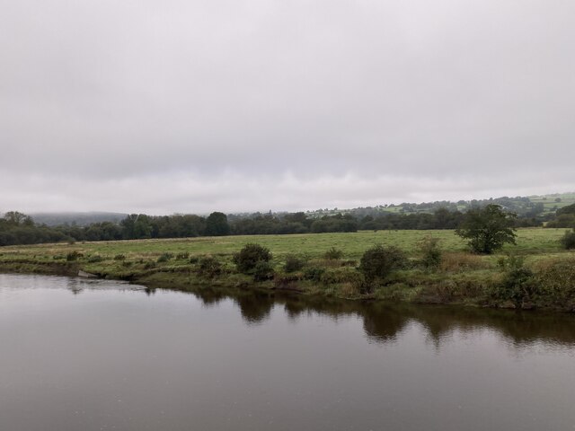
Llanwrda

Llanwrda ([ɬanʊrˈda] ) is a village and community in Carmarthenshire, Wales, 4 miles (6.4 km) southwest of Llandovery. It lies on the River Towy. The population...

Llansadwrn

Llansadwrn (; Welsh: [ɬanˈsadʊn]; ) is a small village and community in Carmarthenshire, Wales. It is located in the countryside above the valley of the...

Llangadog

Llangadog () is a village and community in Carmarthenshire, Wales, which also includes the villages of Bethlehem and Capel Gwynfe. A notable local landscape...

Have you been to Coed yr Wyrlawd?

Leave your review of Coed yr Wyrlawd below (or comments, questions and feedback).