Coed Maes-y-garnedd

Wood, Forest in Merionethshire

Wales

Coed Maes-y-garnedd

A470 near Coed y Brenin
A470 near Coed y Brenin Credit: Steven Brown

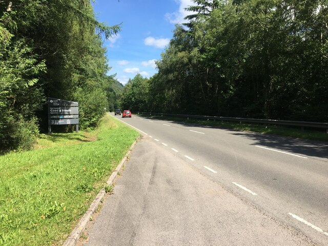
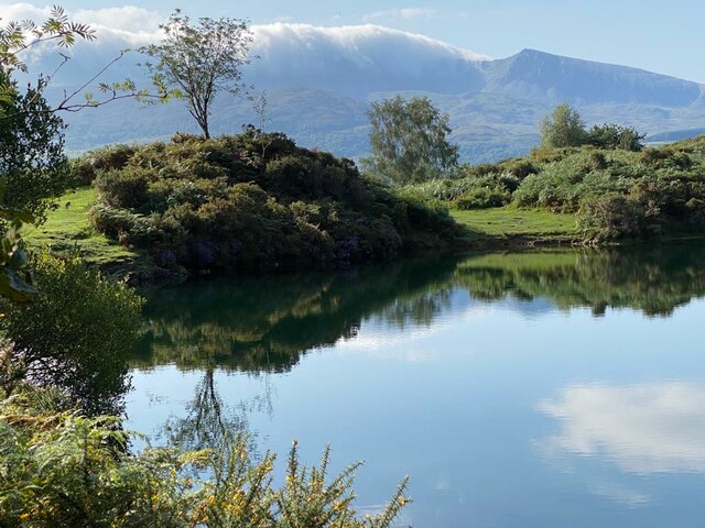
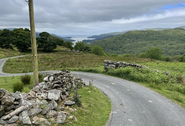
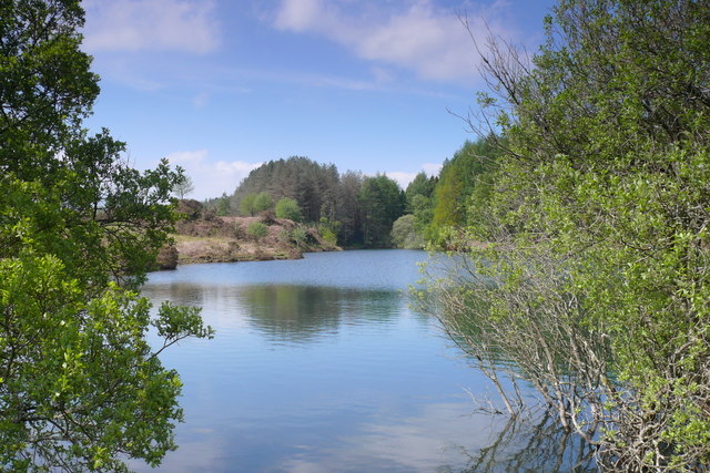
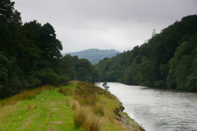
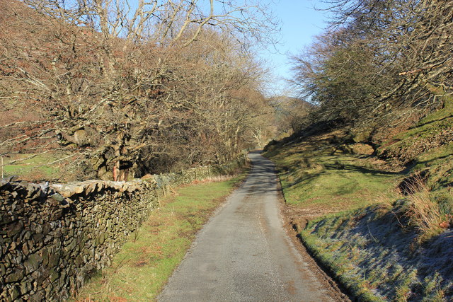
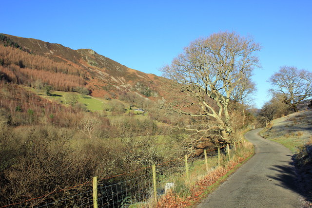
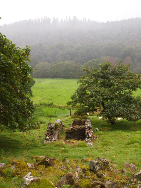
Coed Maes-y-garnedd is a woodland area located in the county of Merionethshire, Wales. Situated near the village of Trawsfynydd, it covers a vast expanse of land, offering visitors a serene and picturesque natural landscape to explore.

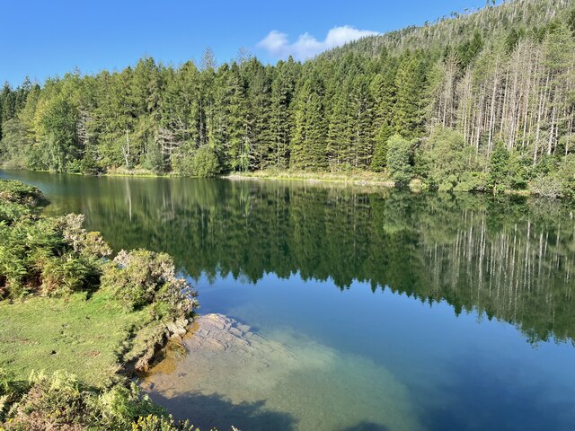
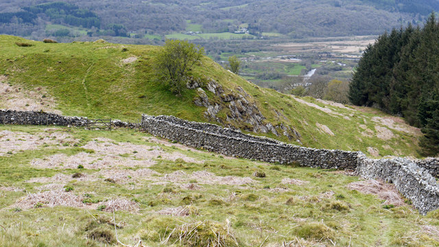
The woodland is predominantly composed of various species of trees, including oak, birch, and beech. These trees create a dense canopy, providing shade and shelter to a diverse range of flora and fauna. The forest floor is adorned with a carpet of mosses, ferns, and wildflowers, adding to its enchanting beauty.

Coed Maes-y-garnedd is a popular destination for outdoor enthusiasts, offering numerous walking trails and paths that meander through the woods. These trails cater to all levels of fitness and provide opportunities for visitors to immerse themselves in nature, observe wildlife, and appreciate the tranquility of the surroundings.

The woodland is home to a wide variety of wildlife, including birds, mammals, and insects. Birdwatchers may be lucky enough to spot species such as red kites, woodpeckers, and various songbirds. Mammals such as squirrels, foxes, and badgers can also be spotted, along with a rich diversity of insects and butterflies.

Coed Maes-y-garnedd is managed by local conservation organizations, ensuring the preservation and protection of its natural habitat. The woodland serves as an important ecological site, contributing to the overall biodiversity of the area.

Whether visitors are seeking a peaceful retreat, a leisurely stroll, or an opportunity to connect with nature, Coed Maes-y-garnedd offers a captivating experience for all who venture into its enchanting depths.

If you have any feedback on the listing, please let us know in the comments section below.

Coed Maes-y-garnedd Images

Images are sourced within 2km of 52.757616/-3.9118556 or Grid Reference SH7119. Thanks to Geograph Open Source API. All images are credited.

A470 near Coed y Brenin
Llyn Tan-y-Graig A spectacular September morning shows the lake off at its very best.
Llyn Tan-y-Graig
A spectacular September morning shows the lake off at its very best.
Cadair Idris a Llyn Tan-y-Graig The morning mist and cloud is fast burning off the summits of Cadair Idris, as the sun takes hold on a beautifully warm early September morning.
Cadair Idris a Llyn Tan-y-Graig
The morning mist and cloud is fast burning off the summits of Cadair Idris, as the sun takes hold on a beautifully warm early September morning.
Dying larches, Llyn Tan-y-Graig Unfortunately, many of the larch trees in these forests are dying or already dead, thanks to the rapid spread of the Phytophthora ramorum fungus. There will be major felling over the winter, and this view will soon be gone.
Dying larches, Llyn Tan-y-Graig
Unfortunately, many of the larch trees in these forests are dying or already dead, thanks to the rapid spread of the Phytophthora ramorum fungus. There will be major felling over the winter, and this view will soon be gone.
Track at Foel-Ispri-uchaf The track leads away from the New Precipice Walk and at this point affords views down towards Barmouth Bay.
Track at Foel-Ispri-uchaf
The track leads away from the New Precipice Walk and at this point affords views down towards Barmouth Bay.
The south-west slopes of Foel Faner Looking to the Afon Mawddach estuary.
The south-west slopes of Foel Faner
Looking to the Afon Mawddach estuary.
Walls beside Coed Dol-fawr The declining south-west ridge of Foel Cynwch has a tapering finger of moorland that eventually gives way to farmland and woods. The walls seen here are adjacent to one of those woods.
Walls beside Coed Dol-fawr
The declining south-west ridge of Foel Cynwch has a tapering finger of moorland that eventually gives way to farmland and woods. The walls seen here are adjacent to one of those woods.
A470 north from Llanelltyd
A470 northbound
A470 northbound
A470 northbound
A470 northbound
Llyn Tan y Graig Cronfa Ddwr uwchben Llanelltyd / Reservoir above Llanelltyd.
Llyn Tan y Graig
Cronfa Ddwr uwchben Llanelltyd / Reservoir above Llanelltyd.
Afon Mawddach ger Dolfawr / Afon Mawddach near Dolfawr Llwybr caniataol ar lannau'r Afon Mawddach / Permissive path on the banks of the Afon Mawddach.
Afon Mawddach ger Dolfawr / Afon Mawddach near Dolfawr
Llwybr caniataol ar lannau'r Afon Mawddach / Permissive path on the banks of the Afon Mawddach.
Foel Ispri Colofn Trig ar gopa Foel Ispri / Trig point on the summit of Foel Ispri.
Foel Ispri
Colofn Trig ar gopa Foel Ispri / Trig point on the summit of Foel Ispri.
Lane at Dolfawr Lane heading north along the valley between the Afon Mawddach and the Precipice Walk.
Lane at Dolfawr
Lane heading north along the valley between the Afon Mawddach and the Precipice Walk.
The valley near Dolfawr Lane just north of Dolfawr heading along the valley between the Afon Mawddach and the Precipice Walk.
The valley near Dolfawr
Lane just north of Dolfawr heading along the valley between the Afon Mawddach and the Precipice Walk.
The Afon Mawddach Looking south-west along the Afon Mawddach valley. The A470 can be seen on the right.
The Afon Mawddach
Looking south-west along the Afon Mawddach valley. The A470 can be seen on the right.
Ruined Agricultural Building, Dolfawr
Ruined dry-stone wall Leading up to Coed Dol-fawr.
Ruined dry-stone wall
Leading up to Coed Dol-fawr.
Show me another place!

Coed Maes-y-garnedd is located at Grid Ref: SH7119 (Lat: 52.757616, Lng: -3.9118556)

Unitary Authority: Gwynedd

Police Authority: North Wales

What 3 Words

///comfort.remembers.conceals. Near Dolgellau, Gwynedd

Related Wikis

Llanelltyd

Llanelltyd (Welsh: Llanelltyd) is a small village and community in Gwynedd, to the northwest of Dolgellau. The community population taken at the 2011 Census...

River Wnion

The River Wnion is a river in the southeast of Gwynedd, Wales. It begins high on the slopes of Aran Benllyn about five miles south of Lanuwchllyn and...

Hengwrt

Hengwrt (English: Old Court) was a mansion near Dolgellau in Meirionnydd, Gwynedd. It lay in the parish of Llanelltyd near the confluence of the River...

Cymer Abbey

Cymer Abbey (Welsh: Abaty Cymer) is a ruined Cistercian abbey near the village of Llanelltyd, just north of Dolgellau, Gwynedd, in north-west Wales, United...

Coleg Meirion-Dwyfor

Coleg Meirion-Dwyfor (meaning in English "Meirion-Dwyfor College"), also known as CMD, is a college in Gwynedd, Wales with its main campus in Dolgellau...

Dr Williams' School

Dr Williams' School was a school founded in Dolgellau in 1875. It opened its doors in 1878 and continued until it was closed in 1975.Samuel Holland was...

Penmaenpool railway station

Penmaenpool railway station at Penmaenpool in Gwynedd, North Wales, was formerly a station on the Dolgelly [sic] branch of the Aberystwith and Welsh Coast...

Dolgellau transmitting station

The Dolgellau transmitting station is a broadcasting and telecommunications facility located on a hill about 1 km north of the town of Dolgellau, in Gwynedd...

Nearby Amenities

Located within 500m of 52.757616,-3.9118556
Created By: POI Editor
Source: npe
Lat/Long: 52.75663/-3.9187305
Source: npe
Lat/Long: 52.7566922/-3.9170954
Source: npe
Lat/Long: 52.7552055/-3.9167472
Craig Llanelltyd
Ele: 60
Natural: peak
Lat/Long: 52.7582636/-3.9056022
Barrier: stile
Step Count: 5
Stile: ladder
Lat/Long: 52.7610447/-3.9106347
Material: wood
Power: pole
Lat/Long: 52.7579504/-3.9179304
Power: pole
Lat/Long: 52.7583132/-3.9187485
Power: pole
Lat/Long: 52.7569412/-3.9156881
Power: pole
Lat/Long: 52.7573012/-3.915117
Power: pole
Lat/Long: 52.7571136/-3.9146546
Power: pole
Lat/Long: 52.7567783/-3.9138679
Power: pole
Lat/Long: 52.7604695/-3.9066202
Power: pole
Lat/Long: 52.7600071/-3.9076423
Power: pole
Lat/Long: 52.7595835/-3.9086186
Power: pole
Lat/Long: 52.759116/-3.909147
Hiking: yes
Information: guidepost
Inscription: New Precipice Walk
Tourism: information
Lat/Long: 52.7574465/-3.9089984
Bus Stop
Bench: yes
Bin: no
Bus: yes
Naptan AtcoCode: 5400AWD70005
Naptan NaptanCode: gwngmpd
Public Transport: platform
Shelter: yes
Lat/Long: 52.7572449/-3.9058122
The data included in this document is from www.openstreetmap.org. The data is made available under ODbL.

Have you been to Coed Maes-y-garnedd?

Leave your review of Coed Maes-y-garnedd below (or comments, questions and feedback).