Allt Blaendyffryn
Wood, Forest in Carmarthenshire
Wales
Allt Blaendyffryn

Allt Blaendyffryn is a picturesque woodland located in the county of Carmarthenshire, Wales. Spread across an area of approximately 50 acres, this enchanting forest is a haven for nature lovers and outdoor enthusiasts.
The woodland is characterized by a diverse range of tree species, including oak, beech, ash, and birch, which create a vibrant and lush green canopy. The forest floor is adorned with a carpet of ferns, bluebells, and wildflowers, adding to its natural beauty.
Allt Blaendyffryn is intersected by a network of well-maintained footpaths and trails, providing visitors with the opportunity to explore and immerse themselves in the tranquil surroundings. These paths lead to various points of interest, such as a small stream that meanders through the woods, creating a soothing ambiance with the gentle sound of flowing water.
The forest is also home to a rich assortment of wildlife, including red squirrels, badgers, and a variety of bird species. Birdwatchers will find this woodland particularly appealing, as it offers a chance to spot rare and migratory birds.
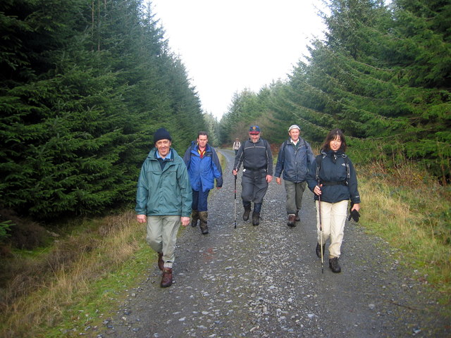
Allt Blaendyffryn is a popular destination for outdoor activities such as hiking, cycling, and picnicking. The dense foliage provides a cool and shaded environment, making it an ideal spot to escape the summer heat. The forest also attracts photographers who are captivated by the ethereal beauty and serenity of the surroundings.
Overall, Allt Blaendyffryn is a captivating woodland that offers a peaceful retreat and an opportunity to connect with nature in the heart of Carmarthenshire.
If you have any feedback on the listing, please let us know in the comments section below.
Allt Blaendyffryn Images
Images are sourced within 2km of 52.047494/-3.8830228 or Grid Reference SN7040. Thanks to Geograph Open Source API. All images are credited.
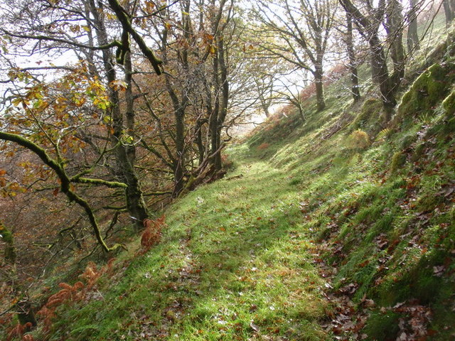

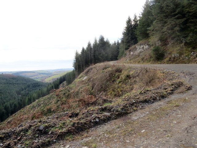


![Islaw Pen Lifau / Below Pen Lifau Hen heol ddiwyneb islaw Pen Lifau.
An old unsurfaced road below Pen Lifau (trans. top of Lifau [hill]).](https://s1.geograph.org.uk/geophotos/05/13/70/5137097_ef8b6f67.jpg)


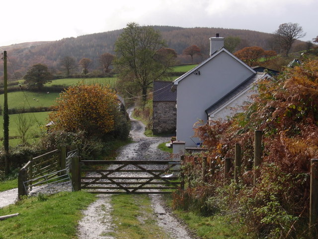
![Allt Erw Domi Heol fach yn arwain at Ffarm Blaen Dyffryn.
A minor heading in the direction of Blaen Dyffryn Farm (trans. source of the valley [stream]).](https://s3.geograph.org.uk/geophotos/05/58/69/5586959_5b611e0c.jpg)
Allt Blaendyffryn is located at Grid Ref: SN7040 (Lat: 52.047494, Lng: -3.8830228)
Unitary Authority: Carmarthenshire
Police Authority: Dyfed Powys
What 3 Words
///justifies.roadshow.leaps. Near Llandovery, Carmarthenshire
Nearby Locations
Related Wikis

Aberbowlan
Aberbowlan is a small village in Carmarthenshire. It is located in the north of the county, 8 miles (13 km) to the north-east of the town of Llandovery...

Caio, Carmarthenshire
Caio (or Caeo) is a village in the county of Carmarthenshire, south-west Wales, sited near to the Dolaucothi Gold Mines. == Location == It is located between...

Cilycwm
Cilycwm (Welsh: Cil-y-cwm, IPA: [ˈkiːl ə ˈkʊm]) is a village, parish and community located in Carmarthenshire, Wales. The community population taken at...
Church of St Michael, Cilycwm
The Church of St Michael, Cilycwm is the Church in Wales parish church for the parish of Cilycwm, near Llandovery, Wales. The rubble building with pink...
Nearby Amenities
Located within 500m of 52.047494,-3.8830228Have you been to Allt Blaendyffryn?
Leave your review of Allt Blaendyffryn below (or comments, questions and feedback).