Coed Esgair-uchaf
Wood, Forest in Merionethshire
Wales
Coed Esgair-uchaf

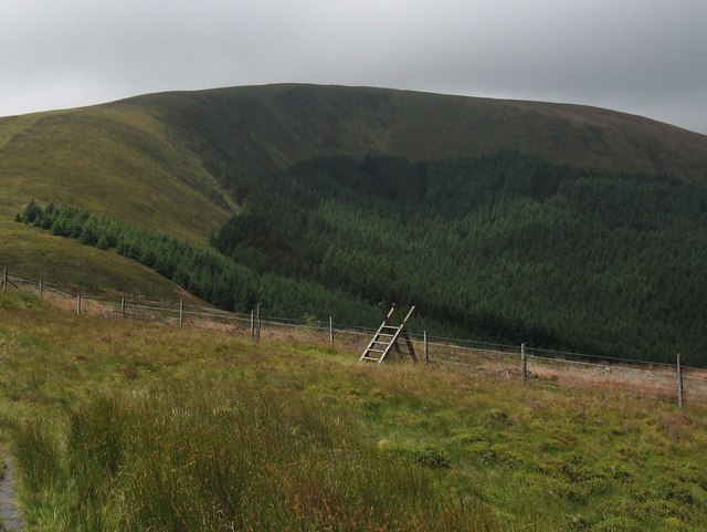
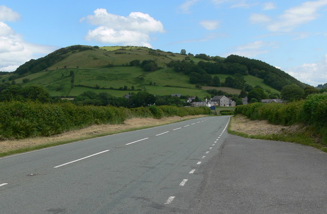
Coed Esgair-uchaf is a woodland located in Merionethshire, Wales. Stretching across an area of approximately 200 hectares, it is known for its scenic beauty and rich biodiversity. The woodland is situated within the southern slopes of the Berwyn Mountain Range, making it a popular destination for nature enthusiasts and hikers.
The forest is predominantly composed of native tree species, including oak, birch, and rowan. These trees provide a habitat for a wide range of wildlife, from small mammals like voles and bats to various bird species such as woodpeckers and buzzards. Additionally, the forest floor is adorned with a diverse array of wildflowers and ferns, adding to the overall beauty of the landscape.
Coed Esgair-uchaf offers several well-maintained walking trails, allowing visitors to explore its natural wonders at their own pace. These trails provide stunning views of the surrounding countryside, as well as opportunities for birdwatching and photography. Additionally, the forest is intersected by several streams, creating a peaceful ambiance and providing a freshwater habitat for various aquatic species.
The woodland is also of historical and cultural significance, with evidence of human activity dating back centuries. The remains of old settlements and ancient boundaries can still be found within the forest, providing a glimpse into the past lives of the local communities.
Coed Esgair-uchaf is not only a beautiful natural landscape but also a vital ecosystem that supports a diverse range of flora and fauna. Its combination of stunning scenery, wildlife, and historical significance make it a cherished destination for both locals and tourists alike.
If you have any feedback on the listing, please let us know in the comments section below.
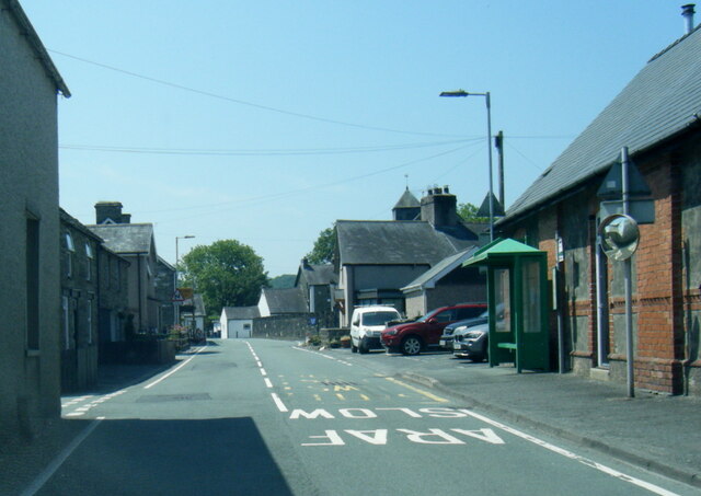
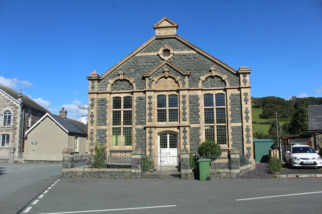
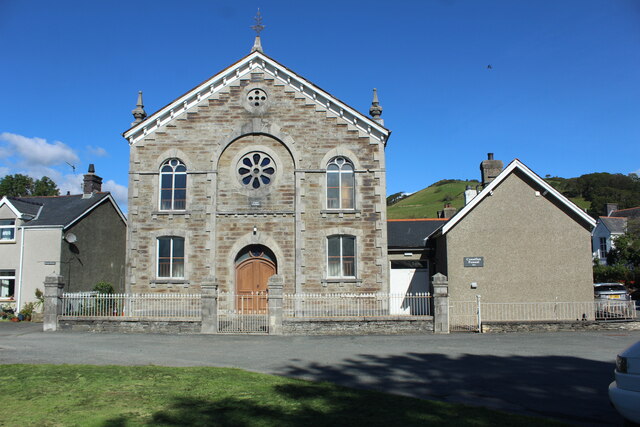
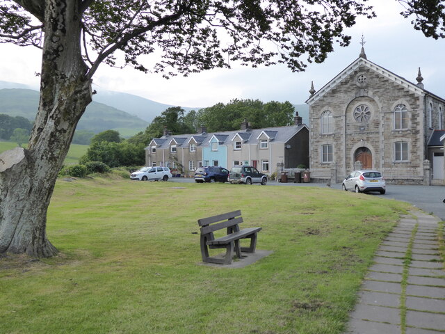
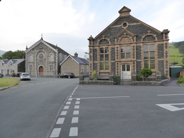
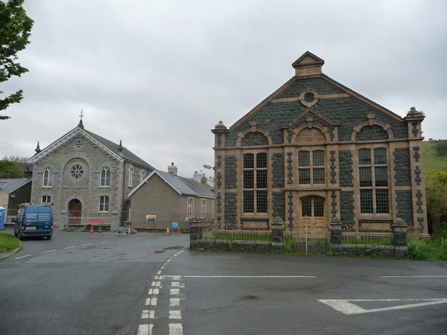
Coed Esgair-uchaf Images
Images are sourced within 2km of 52.603232/-3.9129648 or Grid Reference SH7002. Thanks to Geograph Open Source API. All images are credited.


Coed Esgair-uchaf is located at Grid Ref: SH7002 (Lat: 52.603232, Lng: -3.9129648)
Unitary Authority: Gwynedd
Police Authority: North Wales
What 3 Words
///helpers.saved.talked. Near Machynlleth, Powys
Nearby Locations
Related Wikis

Cwm Ebol quarry
The Cwm Ebol quarry (also known as Cwmebol quarry) was a slate quarry about 1 mile (1.6 km) north west of the village of Pennal in Mid Wales. It operated...

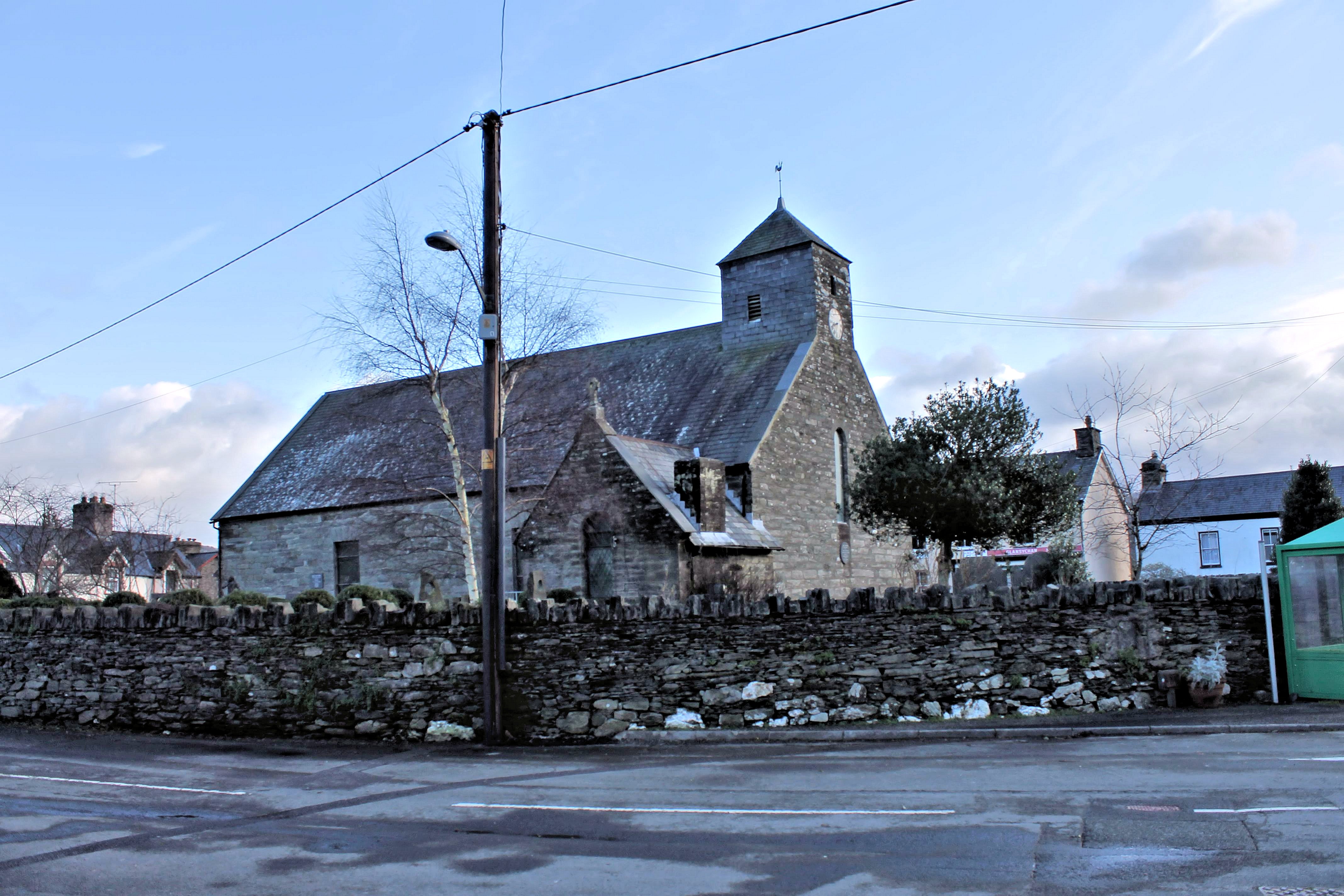
St Peter ad Vincula, Pennal
The parish church of St Peter ad Vincula (meaning Saint Peter in Chains) in the village of Pennal in Gwynedd, north-west Wales, is notable as the site...
Pennal
Pennal is a village and community on the A493 road in southern Gwynedd, Wales, on the north bank of the River Dyfi, near Machynlleth. It lies in the historic...

Llugwy Hall
Llugwy is the name of an old property near Pennal, a village on the A493 road in southern Gwynedd, Wales, on the north bank of the Afon Dyfi/River Dovey...

Machynlleth transmitting station
The Machynlleth transmitting station is a broadcasting and telecommunications facility located on a hill about 2.5 kilometres (1.6 mi) west of the town...

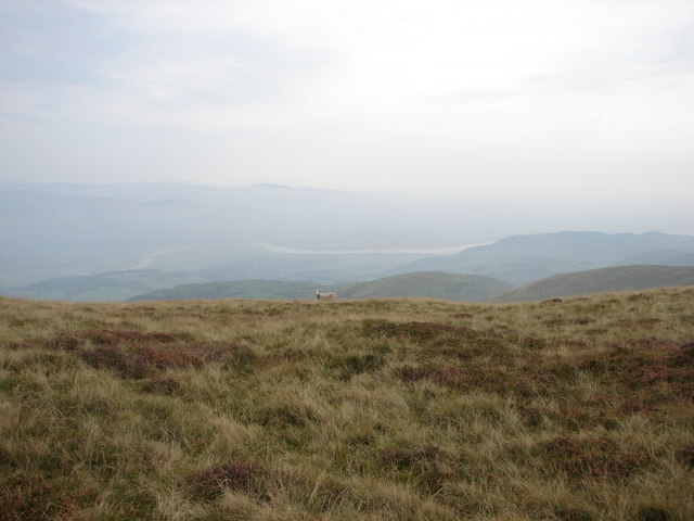
Tarrenhendre
Tarrenhendre is a mountain in Snowdonia, North Wales. It is one of the Marilyns in the Cadair Idris group. Lying to the south of Cadair Idris, it and...
Mynydd Esgairweddan
Mynydd Esgairweddan is a hill near Pennal in southern Gwynedd, Wales (grid reference SH6702). Nearby is the tiny settlement of Esgairweddan. It is very...

Morben
Morben is a hamlet in northern Powys, Wales. Part of the historic county of Montgomeryshire (Sir Drefaldwyn) from 1536 to 1974, it lies on the Afon Dyfi...
Nearby Amenities
Located within 500m of 52.603232,-3.9129648Have you been to Coed Esgair-uchaf?
Leave your review of Coed Esgair-uchaf below (or comments, questions and feedback).