Allt Llwyn-Dewi

Wood, Forest in Carmarthenshire

Wales

Allt Llwyn-Dewi

Little England in Carmarthenshire Deep in rural Wales, this is Lloegr-fach, literally Little England.
Viewed across the A40 SW of Llanwrda.
Little England in Carmarthenshire Credit: Jaggery

Allt Llwyn-Dewi is a picturesque woodland located in the county of Carmarthenshire, Wales. Covering an area of approximately 400 acres, it is a cherished natural landscape that attracts visitors from near and far.

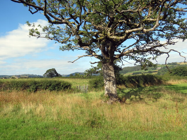
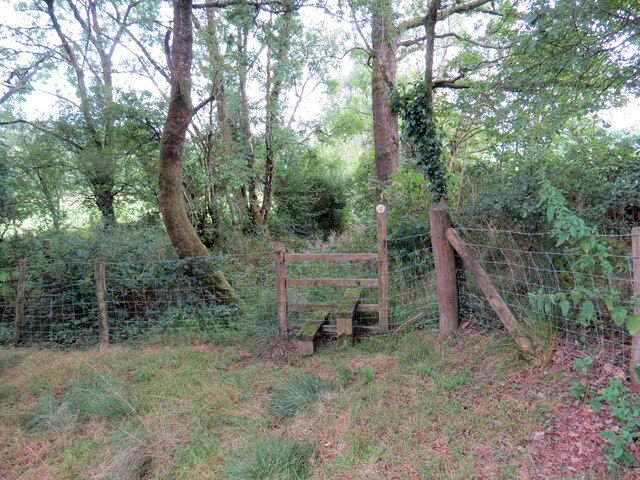
The woodland is predominantly composed of broadleaf trees, including oak, beech, and ash, which create a rich and diverse habitat for a variety of wildlife. The forest floor is adorned with a tapestry of wildflowers, ferns, and mosses, adding to the enchanting beauty of the area.

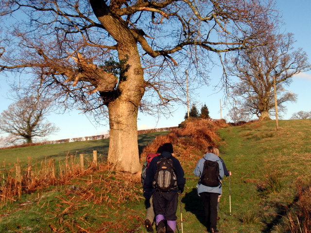
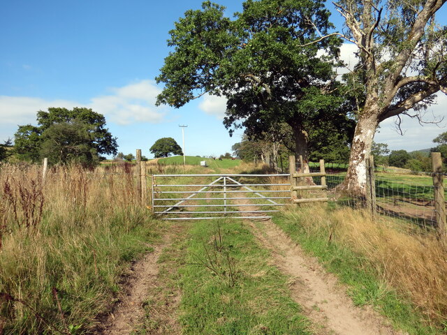
Traversing Allt Llwyn-Dewi, visitors can explore a network of well-maintained footpaths that meander through the dense foliage. These paths offer breathtaking views of the surrounding countryside and provide opportunities for peaceful walks, birdwatching, or simply immersing oneself in nature.

The woodland is also home to a plethora of wildlife, including deer, badgers, foxes, and a wide range of bird species. Nature enthusiasts can relish the chance to spot rare and elusive creatures amongst the towering trees and babbling brooks.

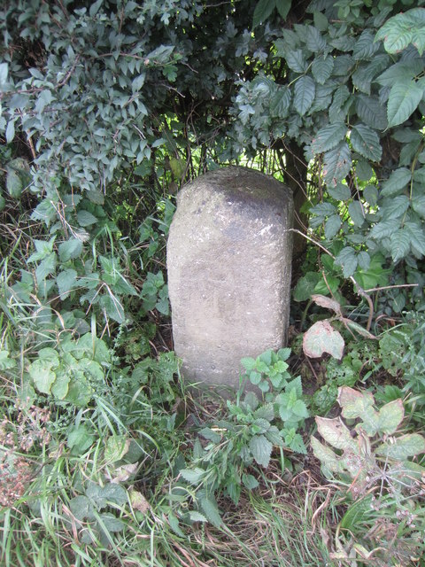
Allt Llwyn-Dewi holds historical significance as well. The remains of an ancient hillfort can be found within its boundaries, offering glimpses into the area's past. The fortification, dating back to the Iron Age, provides insight into the lives of the people who once inhabited this land.

With its breathtaking beauty, diverse wildlife, and historical charm, Allt Llwyn-Dewi is a true gem of Carmarthenshire. It provides a serene escape from the hustle and bustle of modern life and offers an opportunity to reconnect with nature in all its glory.

If you have any feedback on the listing, please let us know in the comments section below.

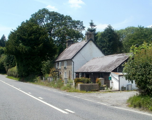
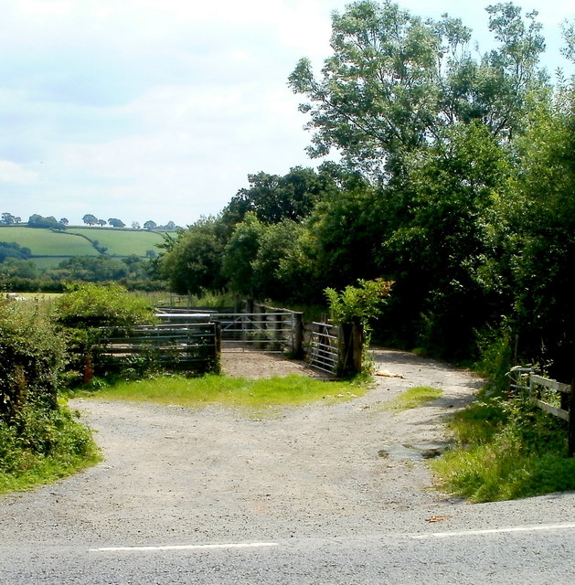
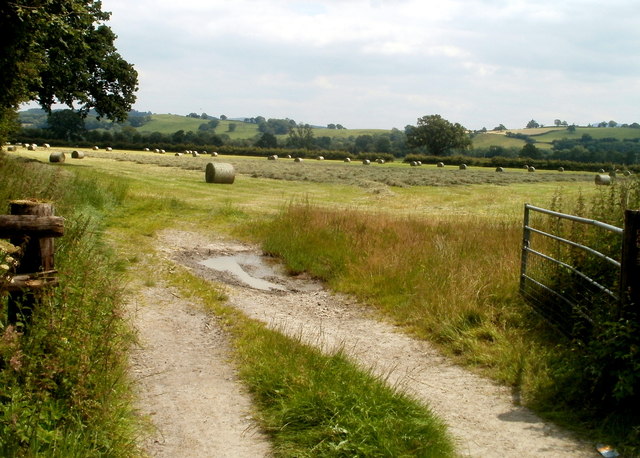
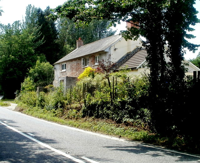
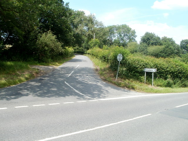
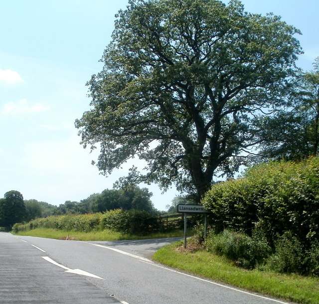
Allt Llwyn-Dewi Images

Images are sourced within 2km of 51.947092/-3.885783 or Grid Reference SN7029. Thanks to Geograph Open Source API. All images are credited.

Little England in Carmarthenshire Deep in rural Wales, this is Lloegr-fach, literally Little England.
Viewed across the A40 SW of Llanwrda.
Little England in Carmarthenshire
Deep in rural Wales, this is Lloegr-fach, literally Little England. Viewed across the A40 SW of Llanwrda.
Livestock pens near Llansadwrn The pens are alongside the A40 near Lloegr-fach. <a title="https://www.geograph.org.uk/photo/3220493" href="https://www.geograph.org.uk/photo/3220493">Link</a>
Livestock pens near Llansadwrn
The pens are alongside the A40 near Lloegr-fach. Link
Early July in rural Carmarthenshire A view of a field adjacent to pens <a title="https://www.geograph.org.uk/photo/3220699" href="https://www.geograph.org.uk/photo/3220699">Link</a> at the edge of the A40.
Early July in rural Carmarthenshire
A view of a field adjacent to pens Link at the edge of the A40.
Bryncoch near Llansadwrn Viewed from the A40 near Lloegr-fach. <a title="https://www.geograph.org.uk/photo/3220493" href="https://www.geograph.org.uk/photo/3220493">Link</a>
Bryncoch near Llansadwrn
Viewed from the A40 near Lloegr-fach. Link
Road to Llansadwrn Viewed from the A40. The sign shows 1 mile to Llansadwrn. <a href="https://www.geograph.org.uk/gridref/SN6931">SN6931</a>
Road to Llansadwrn
Viewed from the A40. The sign shows 1 mile to Llansadwrn. SN6931
Tree at a right turn for Llansadwrn Viewed across the A40 in rural Carmarthenshire SW of Llanwrda.
A sign points right to a minor road to Llansadwrn (1 mile).
Tree at a right turn for Llansadwrn
Viewed across the A40 in rural Carmarthenshire SW of Llanwrda. A sign points right to a minor road to Llansadwrn (1 mile).
Ordnance Survey Cut Mark This OS cut mark can be found on the roadside building at Lletty'ywen. It marks a point 66.968m above mean sea level.
Ordnance Survey Cut Mark
This OS cut mark can be found on the roadside building at Lletty'ywen. It marks a point 66.968m above mean sea level.
Ordnance Survey Cut Mark This OS cut mark can be found on the gateside wall to Brynheulog. It marks a point 76.411m above mean sea level.
Ordnance Survey Cut Mark
This OS cut mark can be found on the gateside wall to Brynheulog. It marks a point 76.411m above mean sea level.
Mile Stone Mile Stone near Brownhill Farm.
Mile Stone
Mile Stone near Brownhill Farm.
Llwybr Caeau Gwynion / Caeau Gwynion path Cerddwyr yn dilyn llwybr cyhoeddus uwchben Ffarm Caeau Gwynion.

Walkers following a public footpath above Caeau Gwynion Farm (trans. fairfields)
Llwybr Caeau Gwynion / Caeau Gwynion path
Cerddwyr yn dilyn llwybr cyhoeddus uwchben Ffarm Caeau Gwynion. Walkers following a public footpath above Caeau Gwynion Farm (trans. fairfields)
The lane for Felindre
Llwybr ger Cae Siencyn / Path near Cae Siencyn Llwybr troed cyhoeddus yn mynd heibio i dderwen ger Ffarm Cae Siencyn.

A public footpath passing an oak tree near Cae Siencyn Farm (Trans. Siencyn's field).
Llwybr ger Cae Siencyn / Path near Cae Siencyn
Llwybr troed cyhoeddus yn mynd heibio i dderwen ger Ffarm Cae Siencyn. A public footpath passing an oak tree near Cae Siencyn Farm (Trans. Siencyn's field).
Llwybr ger Cefngornoeth / Path near Cefngornoeth Llwybr troed cyhoeddus yn mynd lan y tyle ger Ffarm Cefngornoeth.

A public footpath ascending the hill near Cefngornoeth Farm (trans. most bare or exposed ridge).
Llwybr ger Cefngornoeth / Path near Cefngornoeth
Llwybr troed cyhoeddus yn mynd lan y tyle ger Ffarm Cefngornoeth. A public footpath ascending the hill near Cefngornoeth Farm (trans. most bare or exposed ridge).
Llwybr i'r A4069 / Path to the A4069 Llwybr troed cyhoeddus yn mynd i gyfeiriad yr A4069.

A public footpath heading towards the A4069.
Llwybr i'r A4069 / Path to the A4069
Llwybr troed cyhoeddus yn mynd i gyfeiriad yr A4069. A public footpath heading towards the A4069.
Llangadog, St Cadoc
Llangadog, St Cadoc
Afon Tywi near Llangadog
Garden Centre Cafe Adjacent to Llangadog Station.
Garden Centre Cafe
Adjacent to Llangadog Station.
Field and house alongside A4069
Show me another place!

Allt Llwyn-Dewi is located at Grid Ref: SN7029 (Lat: 51.947092, Lng: -3.885783)

Unitary Authority: Carmarthenshire

Police Authority: Dyfed Powys

What 3 Words

///community.leotard.firming. Near Llansadwrn, Carmarthenshire

Nearby Locations

Allt Llwyn-Dewi

Related Wikis

Llangadog railway station

Llangadog railway station serves the village of Llangadog near Llandeilo, Carmarthenshire. The station is on the Heart of Wales Line 36+1⁄2 miles (59 km...

Llansadwrn

Llansadwrn (; Welsh: [ɬanˈsadʊn]; ) is a small village and community in Carmarthenshire, Wales. It is located in the countryside above the valley of the...

Llangadog

Llangadog () is a village and community in Carmarthenshire, Wales, which also includes the villages of Bethlehem and Capel Gwynfe. A notable local landscape...

River Sawdde

The Afon Sawdde is a river in the county of Carmarthenshire, Wales. For most of its course it flows through the Brecon Beacons National Park and Fforest...

Llanwrda railway station

Llanwrda railway station serves the village of Llanwrda near Llandovery, Carmarthenshire. Opened by the Vale of Towy Railway in 1858, the station is on...

Llanwrda

Llanwrda ([ɬanʊrˈda] ) is a village and community in Carmarthenshire, Wales, 4 miles (6.4 km) southwest of Llandovery. It lies on the River Towy. The population...

Glanrhyd Bridge collapse

On 19 October 1987, a train on the Heart of Wales line derailed and fell into the River Towy due to the partial collapse of the Glanrhyd Bridge near Llandeilo...

Glanrhyd Halt railway station

Glanrhyd railway station served the town of Llandeilo, Carmarthenshire, Wales, from 1858 to 1955 on the Vale of Towy Railway. == History == The station...

Nearby Amenities

Located within 500m of 51.947092,-3.885783
Crossing Activation: user
Crossing Barrier: yes
Railway: level_crossing
Lat/Long: 51.9489819/-3.8860489
Direction: 165
Generator Method: photovoltaic
Generator Output Electricity: yes
Generator Solar Modules: 21
Generator Source: solar
Generator Type: solar_photovoltaic_panel
Location: roof
Power: generator
Lat/Long: 51.9490446/-3.8845588
Direction: SSW
Generator Method: photovoltaic
Generator Output Electricity: yes
Generator Solar Modules: 12
Generator Source: solar
Generator Type: solar_photovoltaic_panel
Location: roof
Power: generator
Lat/Long: 51.9462762/-3.8806354
Direction: SSW
Generator Method: photovoltaic
Generator Output Electricity: yes
Generator Solar Modules: 8
Generator Source: solar
Generator Type: solar_photovoltaic_panel
Location: roof
Power: generator
Lat/Long: 51.9462439/-3.8804986
The data included in this document is from www.openstreetmap.org. The data is made available under ODbL.

Have you been to Allt Llwyn-Dewi?

Leave your review of Allt Llwyn-Dewi below (or comments, questions and feedback).