Allt Rhosfarch
Wood, Forest in Merionethshire
Wales
Allt Rhosfarch
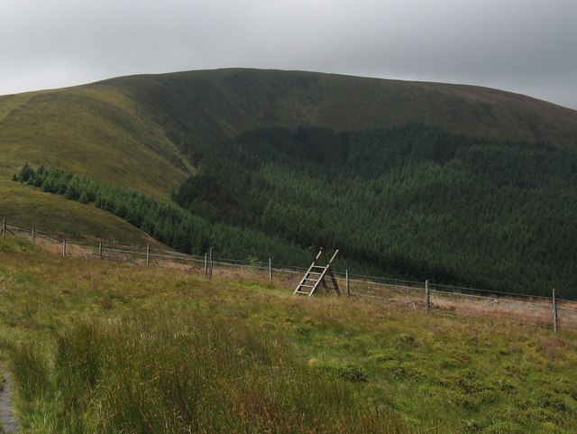
Allt Rhosfarch is a charming woodland located in the county of Merionethshire, Wales. The name "Allt Rhosfarch" translates to "Wood, Forest" in English, accurately reflecting the natural beauty and abundance of trees that dominate the landscape.
This woodland is situated in a remote and picturesque area, offering visitors a peaceful and serene environment to explore and appreciate nature. The diverse range of tree species found in Allt Rhosfarch includes oak, beech, ash, and birch, creating a rich and vibrant ecosystem. The forest floor is adorned with an array of plant life, such as ferns, bluebells, and wild garlic, adding to the visual appeal and biodiversity of the area.
The woodland is intersected by several well-maintained walking trails, making it an ideal destination for hikers and nature enthusiasts. These paths wind their way through the trees, offering glimpses of wildlife and providing opportunities for birdwatching. Allt Rhosfarch is home to a variety of bird species, including woodpeckers, owls, and thrushes, making it a haven for bird lovers.
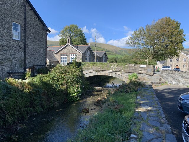
The woodland also boasts a small stream that meanders through its heart, creating a soothing soundtrack and providing a source of water for the local wildlife. This stream can be crossed via charming wooden footbridges that add to the rustic charm of the area.
Allt Rhosfarch is a hidden gem in Merionethshire, offering visitors an escape from the hustle and bustle of modern life. Its natural beauty, tranquil atmosphere, and abundant wildlife make it a must-visit destination for anyone seeking a peaceful retreat in the heart of nature.
If you have any feedback on the listing, please let us know in the comments section below.
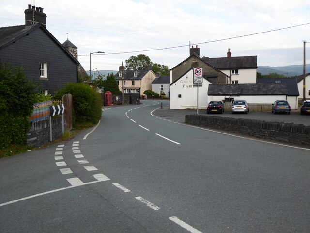
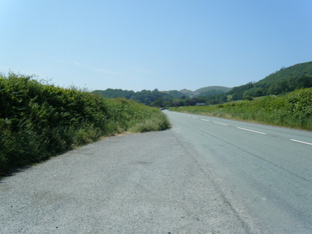
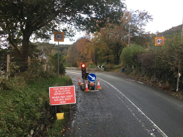
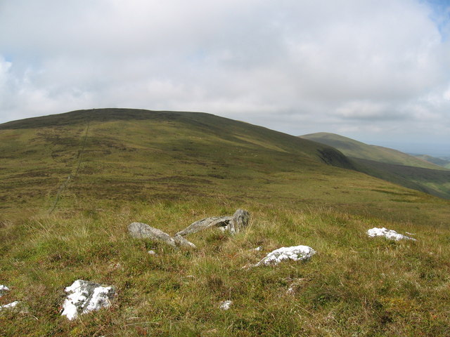
Allt Rhosfarch Images
Images are sourced within 2km of 52.601154/-3.9291177 or Grid Reference SH6902. Thanks to Geograph Open Source API. All images are credited.
Allt Rhosfarch is located at Grid Ref: SH6902 (Lat: 52.601154, Lng: -3.9291177)
Unitary Authority: Gwynedd
Police Authority: North Wales
What 3 Words
///footpath.obstruction.kilt. Near Machynlleth, Powys
Nearby Locations
Related Wikis

Cwm Ebol quarry
The Cwm Ebol quarry (also known as Cwmebol quarry) was a slate quarry about 1 mile (1.6 km) north west of the village of Pennal in Mid Wales. It operated...

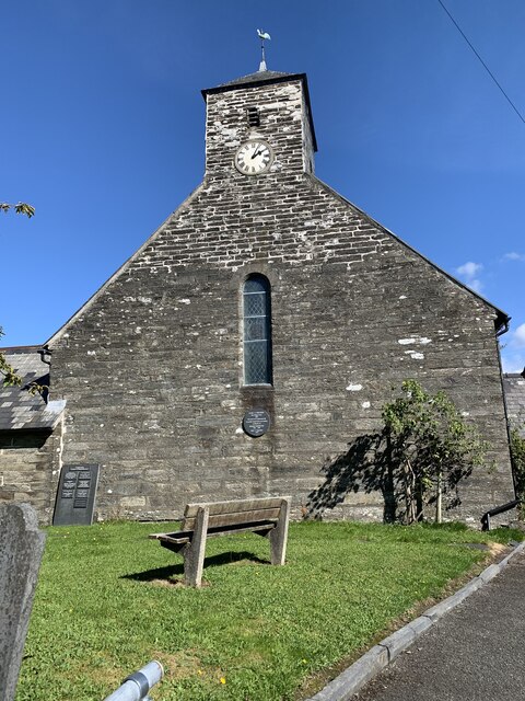
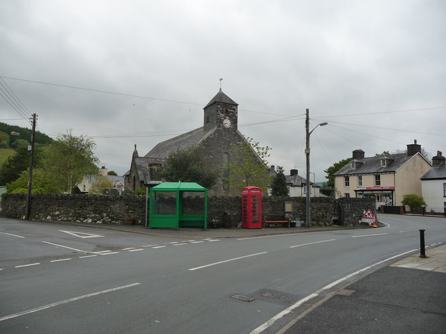
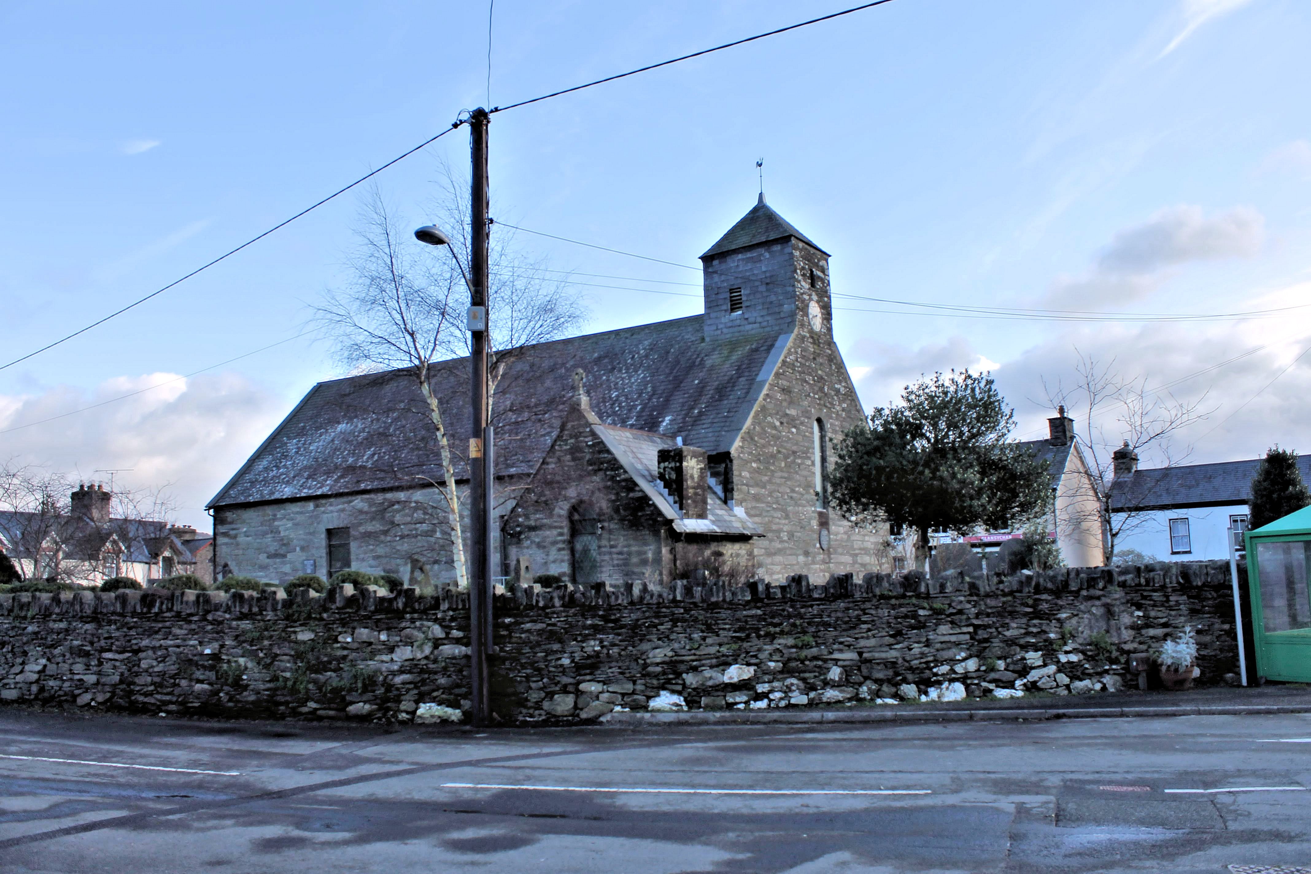
St Peter ad Vincula, Pennal
The parish church of St Peter ad Vincula (meaning Saint Peter in Chains) in the village of Pennal in Gwynedd, north-west Wales, is notable as the site...
Pennal
Pennal is a village and community on the A493 road in southern Gwynedd, Wales, on the north bank of the River Dyfi, near Machynlleth. It lies in the historic...
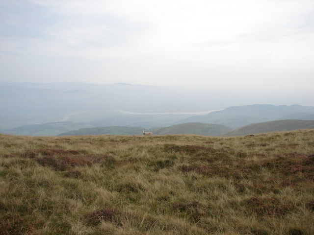
Mynydd Esgairweddan
Mynydd Esgairweddan is a hill near Pennal in southern Gwynedd, Wales (grid reference SH6702). Nearby is the tiny settlement of Esgairweddan. It is very...

Tarrenhendre
Tarrenhendre is a mountain in Snowdonia, North Wales. It is one of the Marilyns in the Cadair Idris group. Lying to the south of Cadair Idris, it and...

Llugwy Hall
Llugwy is the name of an old property near Pennal, a village on the A493 road in southern Gwynedd, Wales, on the north bank of the Afon Dyfi/River Dovey...

Morben
Morben is a hamlet in northern Powys, Wales. Part of the historic county of Montgomeryshire (Sir Drefaldwyn) from 1536 to 1974, it lies on the Afon Dyfi...

Machynlleth transmitting station
The Machynlleth transmitting station is a broadcasting and telecommunications facility located on a hill about 2.5 kilometres (1.6 mi) west of the town...
Nearby Amenities
Located within 500m of 52.601154,-3.9291177Have you been to Allt Rhosfarch?
Leave your review of Allt Rhosfarch below (or comments, questions and feedback).