Coed Caersaeson
Wood, Forest in Merionethshire
Wales
Coed Caersaeson
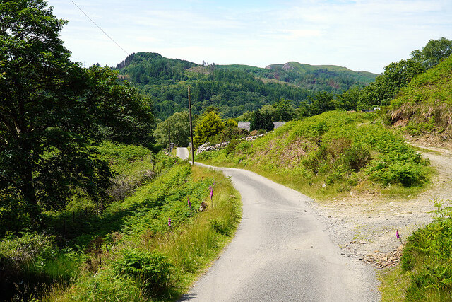
Coed Caersaeson, located in Merionethshire, is a notable wood or forest in the region. With its picturesque landscape and rich biodiversity, it is a popular destination for nature enthusiasts and hikers alike.
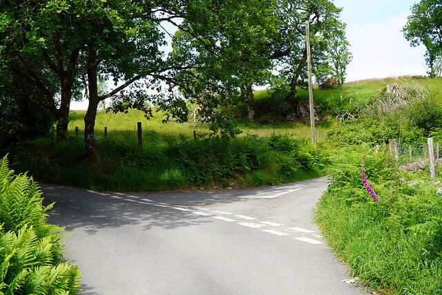
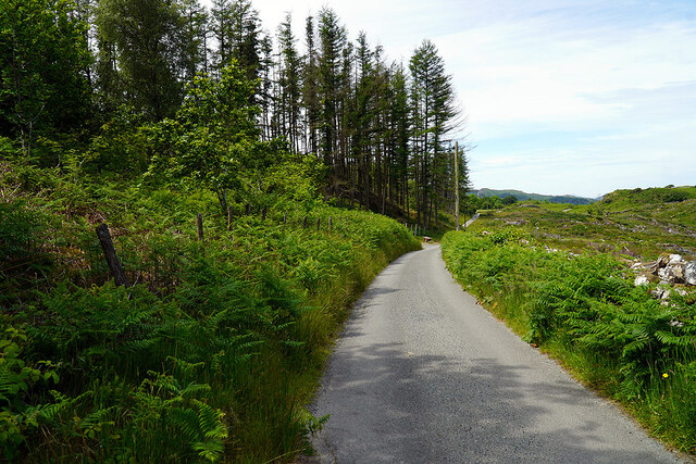
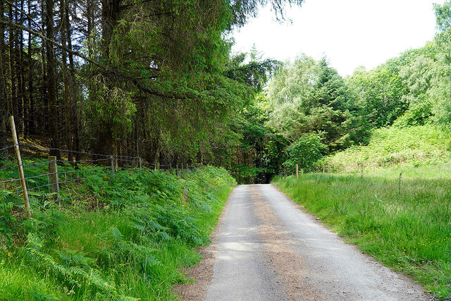
Covering a vast area, Coed Caersaeson is home to a variety of tree species, including oak, beech, and birch, which create a dense and vibrant canopy. The forest floor is adorned with an array of ferns, mosses, and wildflowers, adding to the overall beauty of the woodland.
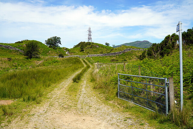
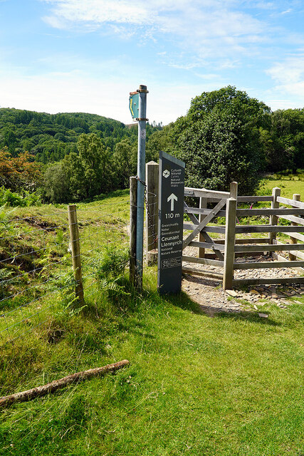
The forest is crisscrossed by well-maintained trails, allowing visitors to explore and appreciate its natural wonders. As one ventures deeper into Coed Caersaeson, they may encounter serene streams and small waterfalls, further enhancing the tranquil ambiance of the woodland.
Wildlife thrives within Coed Caersaeson, providing a haven for numerous species. Birdwatchers may spot various songbirds, woodpeckers, and even birds of prey soaring above the treetops. Squirrels, badgers, and deer are among the mammals that call this forest home.
Coed Caersaeson is not only a place of natural beauty but also has historical significance. The woodland is said to have ancient roots, with remnants of an Iron Age hillfort visible in certain areas. This adds an element of intrigue and fascination to the forest, attracting history enthusiasts and archaeology aficionados.
Overall, Coed Caersaeson is a captivating wood or forest in Merionethshire, offering visitors a chance to immerse themselves in nature, discover its diverse flora and fauna, and appreciate its historical heritage.
If you have any feedback on the listing, please let us know in the comments section below.
Coed Caersaeson Images
Images are sourced within 2km of 52.926451/-3.9643676 or Grid Reference SH6838. Thanks to Geograph Open Source API. All images are credited.
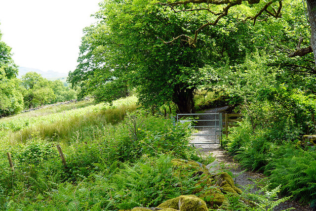
![Gate on the Cambrian Way Here the long distance path runs by the grounds of Cae Einion Alan [residential house]. To the left is cycle route 82 which emerges by the Trawsfynydd power station building.](https://s2.geograph.org.uk/geophotos/07/20/25/7202558_786f0e66.jpg)


Coed Caersaeson is located at Grid Ref: SH6838 (Lat: 52.926451, Lng: -3.9643676)
Unitary Authority: Gwynedd
Police Authority: North Wales
What 3 Words
///dishing.opera.chatters. Near Maentwrog, Gwynedd
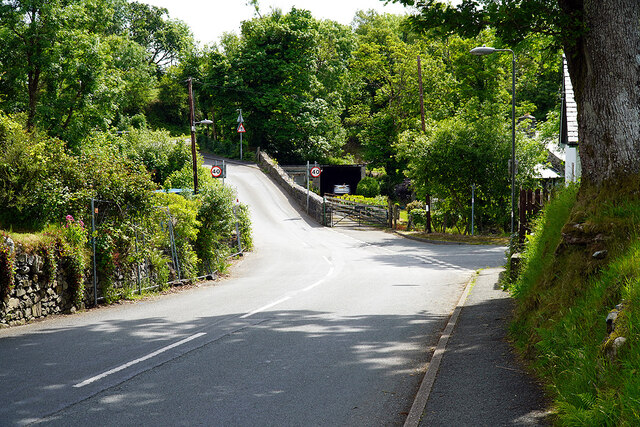
Nearby Locations
Related Wikis

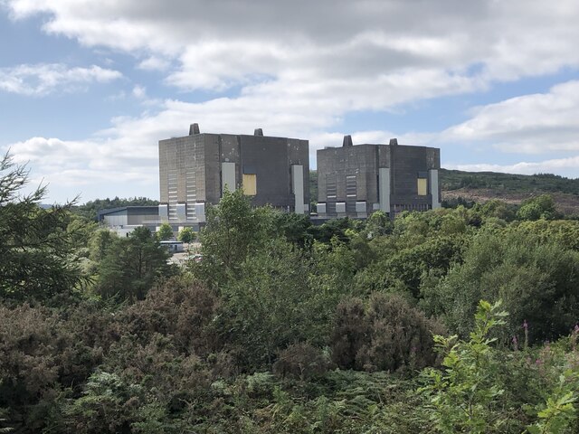
Trawsfynydd nuclear power station
Trawsfynydd nuclear power station (Welsh: Atomfa Trawsfynydd) is a former Magnox nuclear power station situated in Snowdonia National Park in Gwynedd,...

Coed y Rhygen National Nature Reserve
Coed y Rhygen National Nature Reserve is located on the western shore of Llyn Trawsfynydd in Gwynedd, North Wales. As an example of Atlantic Rainforest...
Ceunant Llennyrch National Nature Reserve
Ceunant Llennyrch National Nature Reserve is one of several woodland reserves in the Vale of Ffestiniog in Gwynedd, Wales and runs from Llyn Trawsfynydd...

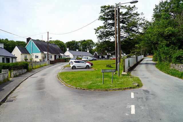
Gellilydan
Gellilydan () is a village in the Welsh county of Gwynedd, in Maentwrog community. It lies 4 miles (6.4 km) south-south-east of Blaenau Ffestiniog. The...
Nearby Amenities
Located within 500m of 52.926451,-3.9643676Have you been to Coed Caersaeson?
Leave your review of Coed Caersaeson below (or comments, questions and feedback).