Coed Penrhyn-mawr
Wood, Forest in Cardiganshire
Wales
Coed Penrhyn-mawr
The requested URL returned error: 429 Too Many Requests
If you have any feedback on the listing, please let us know in the comments section below.
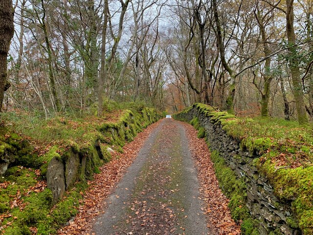
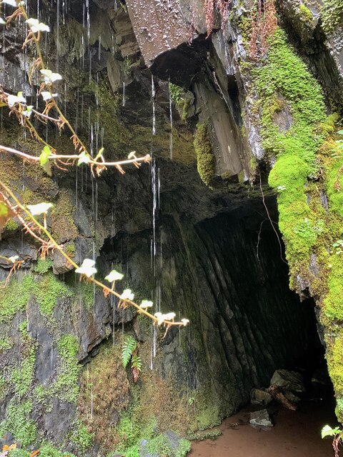
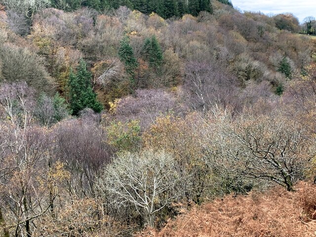
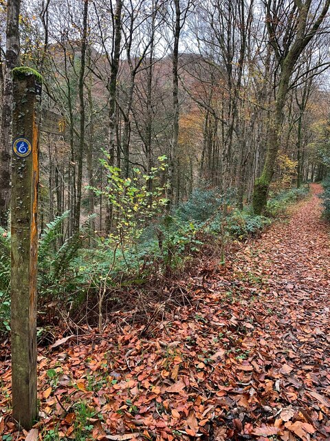
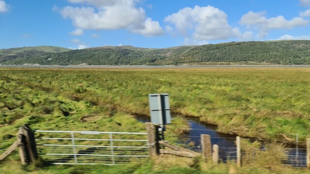
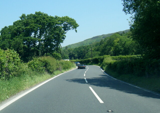
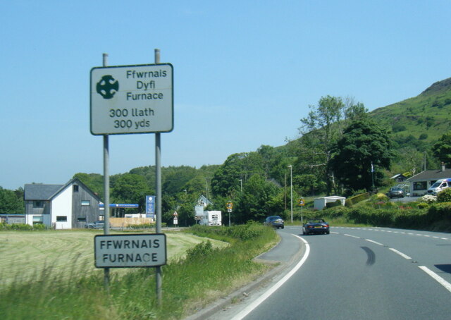
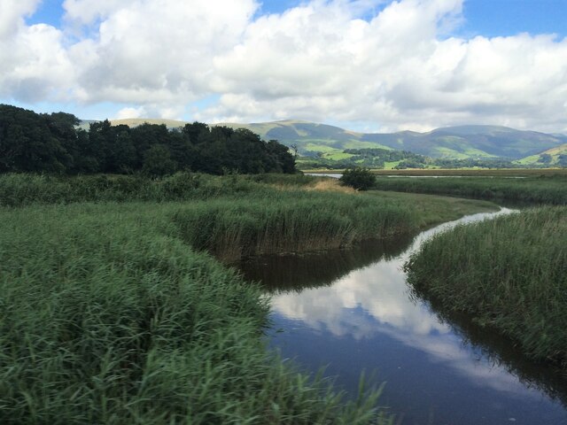
Coed Penrhyn-mawr Images
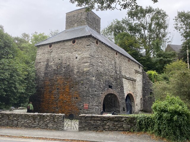
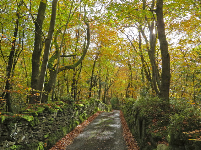
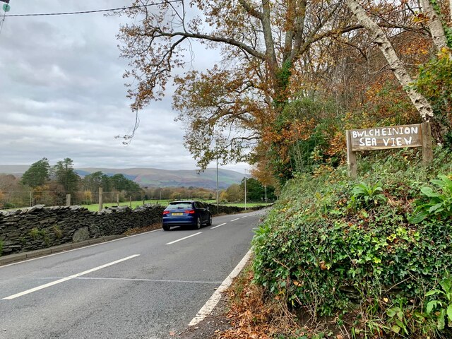
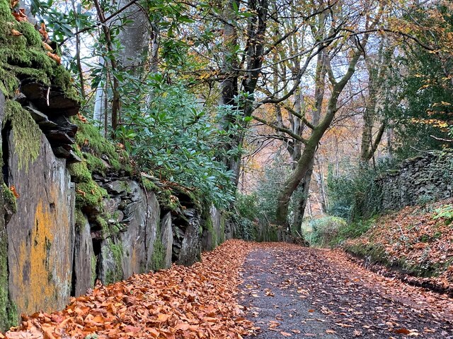
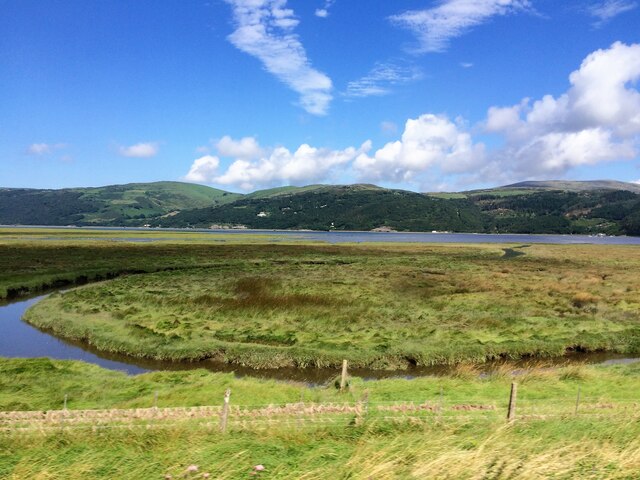
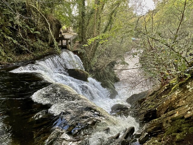
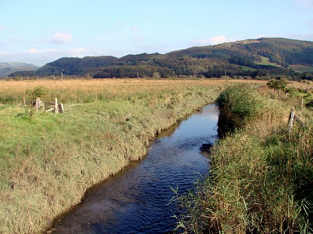
Images are sourced within 2km of 52.54605/-3.9476129 or Grid Reference SN6896. Thanks to Geograph Open Source API. All images are credited.


Coed Penrhyn-mawr is located at Grid Ref: SN6896 (Lat: 52.54605, Lng: -3.9476129)
Unitary Authority: Ceredigion
Police Authority: Dyfed Powys
What 3 Words
///pulps.crusaders.trustees. Near Machynlleth, Powys
Nearby Locations
Related Wikis

Ynys-hir RSPB reserve
Ynys-hir RSPB reserve is a nature reserve of the RSPB situated beside the Dyfi estuary in Ceredigion, mid Wales between Aberystwyth and Machynlleth. The...

Eglwys Fach
Eglwys Fach, also known as Eglwys-fach or Eglwysfach, is a small village, roughly 12 miles (19 km) outside of Aberystwyth, Ceredigion. It is known for...
Afon Llyfnant
The River Llyfnant (Welsh: Afon Llyfnant) is a short river in Ceredigion, on the west coast of Wales. The river rises in the mountains south of Machynlleth...

Furnace, Ceredigion
Furnace (Welsh: Ffwrnais) is a hamlet in Ceredigion, Wales on the A487 trunk road from Machynlleth to Aberystwyth, near Eglwysfach. It is the location...
Nearby Amenities
Located within 500m of 52.54605,-3.9476129Have you been to Coed Penrhyn-mawr?
Leave your review of Coed Penrhyn-mawr below (or comments, questions and feedback).