Coed Dduallt
Wood, Forest in Merionethshire
Wales
Coed Dduallt
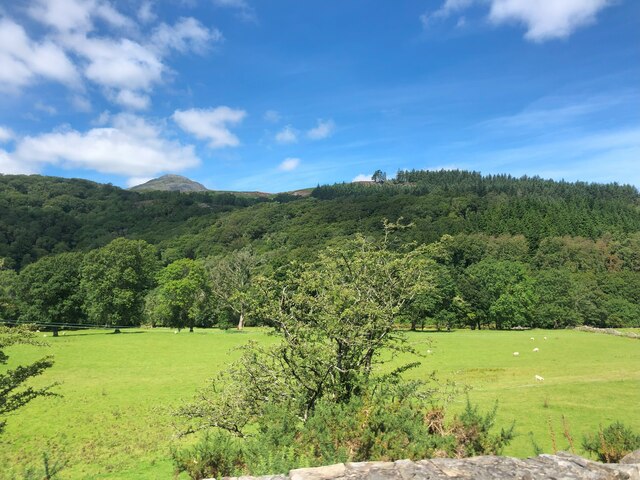
Coed Dduallt is a stunning woodland located in the county of Merionethshire, Wales. Spanning over an area of approximately 500 hectares, this ancient forest is a true natural gem. The name "Coed Dduallt" translates to "Black Forest" in English, derived from the dark, dense canopy that covers the area.
The woodland is primarily composed of native broadleaf trees, including oak, beech, and birch. These majestic trees create a vibrant and diverse ecosystem that supports a wide range of flora and fauna. The forest floor is adorned with a rich carpet of ferns, mosses, and wildflowers, lending a magical atmosphere to the surroundings.
Walking through Coed Dduallt, visitors can experience the tranquility and serenity that comes with being immersed in nature. The air is filled with the sweet scent of the forest, and the only sounds are the chirping of birds and the rustling of leaves. The winding paths and trails offer opportunities for exploration and discovery, with hidden nooks and crannies waiting to be found.
Coed Dduallt is not just a haven for nature enthusiasts, but also serves as an important habitat for wildlife. It is home to various bird species, including the rare red kite and the elusive tawny owl. The forest is also inhabited by mammals such as badgers, foxes, and deer, which can occasionally be spotted during dawn or dusk.
This ancient woodland provides a perfect retreat for those seeking solace in nature. Whether it is a leisurely walk, birdwatching, or simply soaking in the beauty of the surroundings, Coed Dduallt offers an unforgettable experience for all who visit.
If you have any feedback on the listing, please let us know in the comments section below.
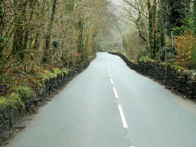
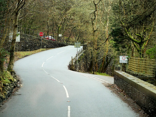
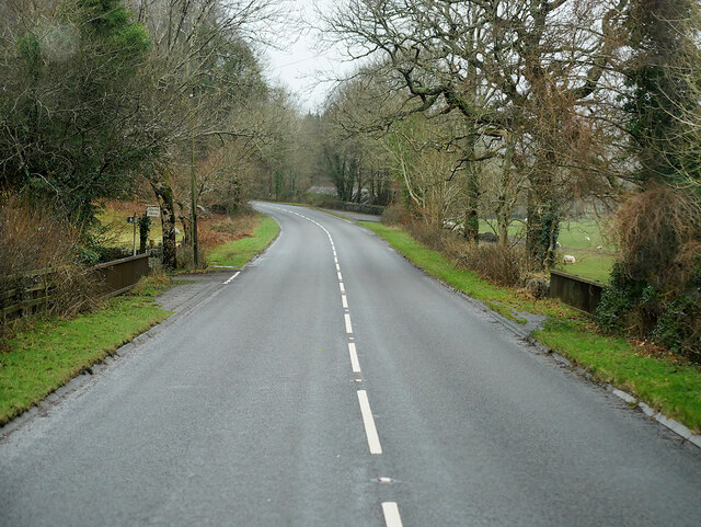
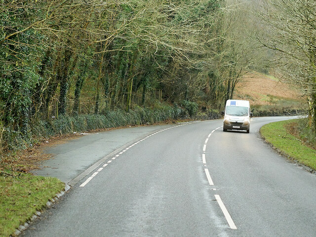
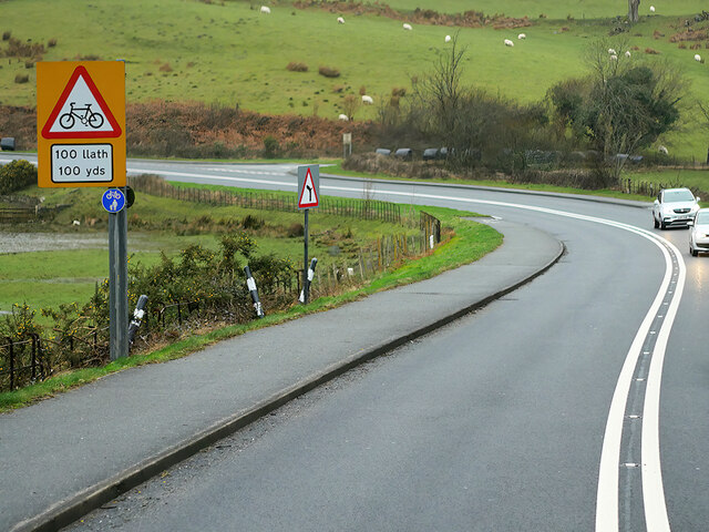
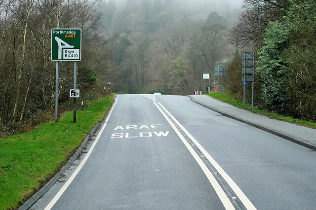
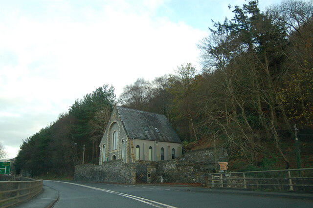
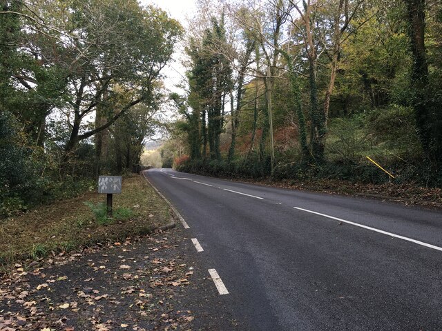
Coed Dduallt Images
Images are sourced within 2km of 52.960565/-3.9723017 or Grid Reference SH6742. Thanks to Geograph Open Source API. All images are credited.
Coed Dduallt is located at Grid Ref: SH6742 (Lat: 52.960565, Lng: -3.9723017)
Unitary Authority: Gwynedd
Police Authority: North Wales
What 3 Words
///thundered.makeup.buffoon. Near Maentwrog, Gwynedd
Nearby Locations
Related Wikis
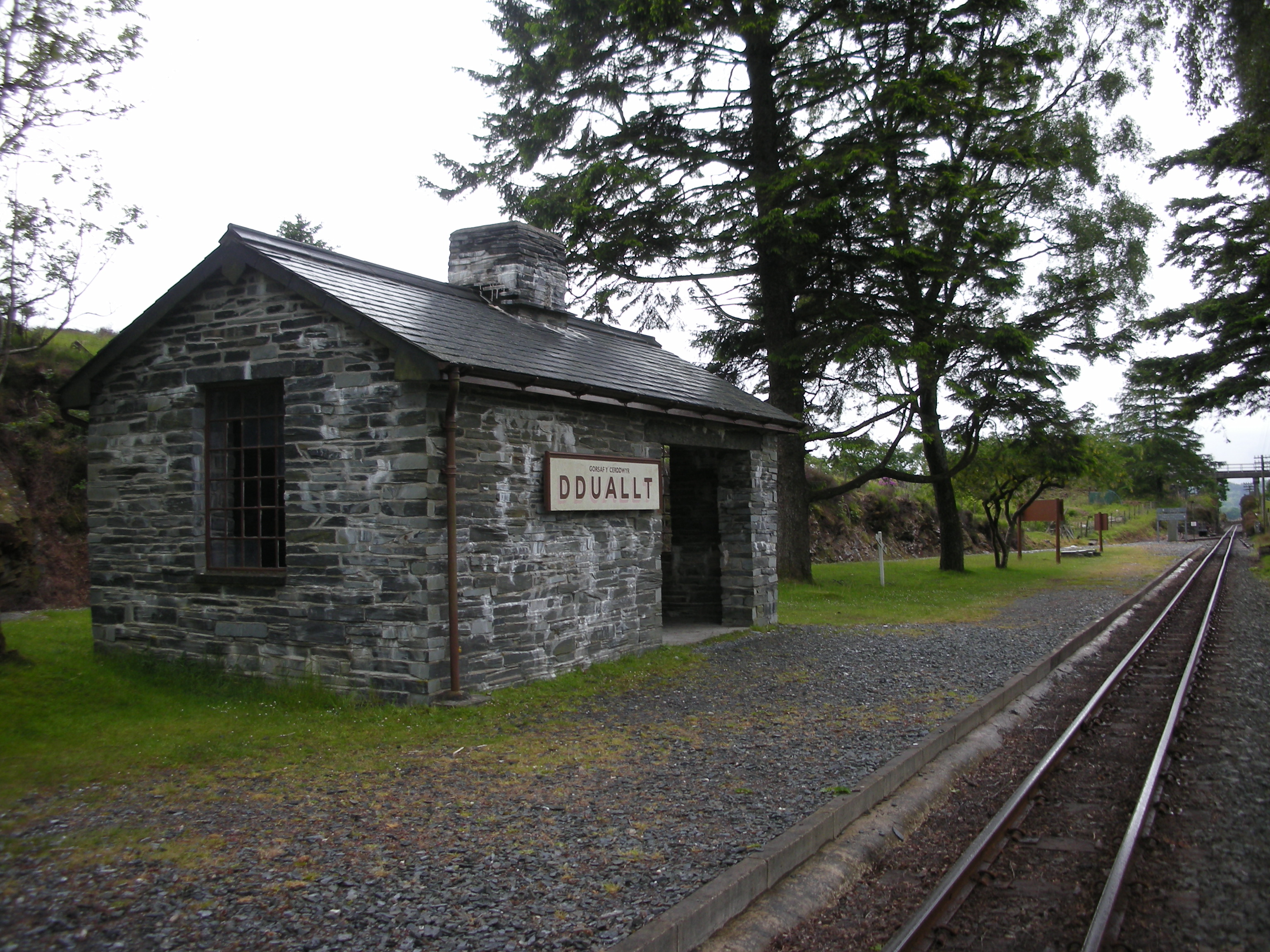
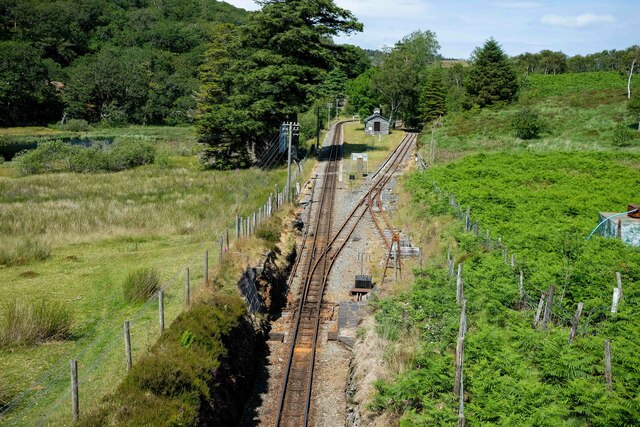
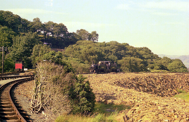
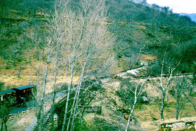
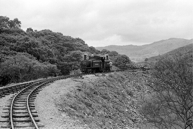
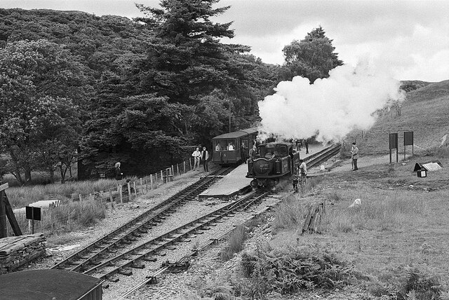
Dduallt railway station
Dduallt railway station (English: Black hill) (pronounced [ˈðɨ.aɬt]) is a passenger station on the narrow gauge Ffestiniog Railway in northwest Wales,...

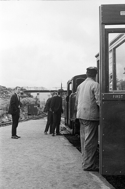
Campbell's Platform railway station
Campbell's Platform (grid reference SH673418) is a private, unstaffed halt on the Welsh narrow gauge Ffestiniog Railway, which was built in 1836 to carry...

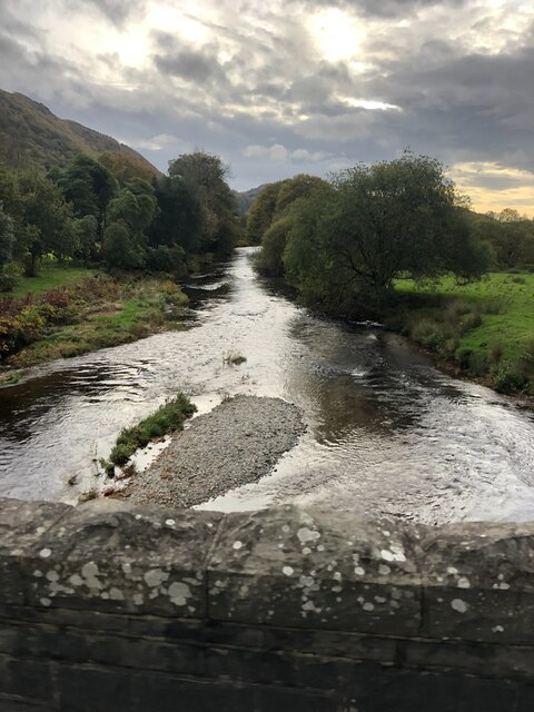
Coedydd Maentwrog National Nature Reserve
Coedydd Maentwrog, on the north side of the Vale of Ffestiniog, is the largest wood in the Vale (which runs from the coast at Porthmadog inland to Blaenau...
Coed Cymerau National Nature Reserve
Coed Cymerau National Nature Reserve is a wooded area of approximately 26 hectares on the north side of the Vale of Ffestiniog through which the River...
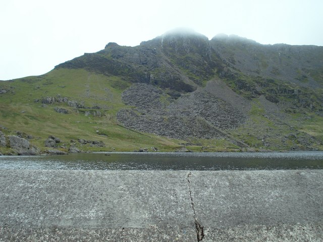
Moelwyn quarry
Moelwyn quarry is a defunct slate quarry located to the south of the village of Tanygrisiau, north Wales. Some initial prospecting was carried out in the...
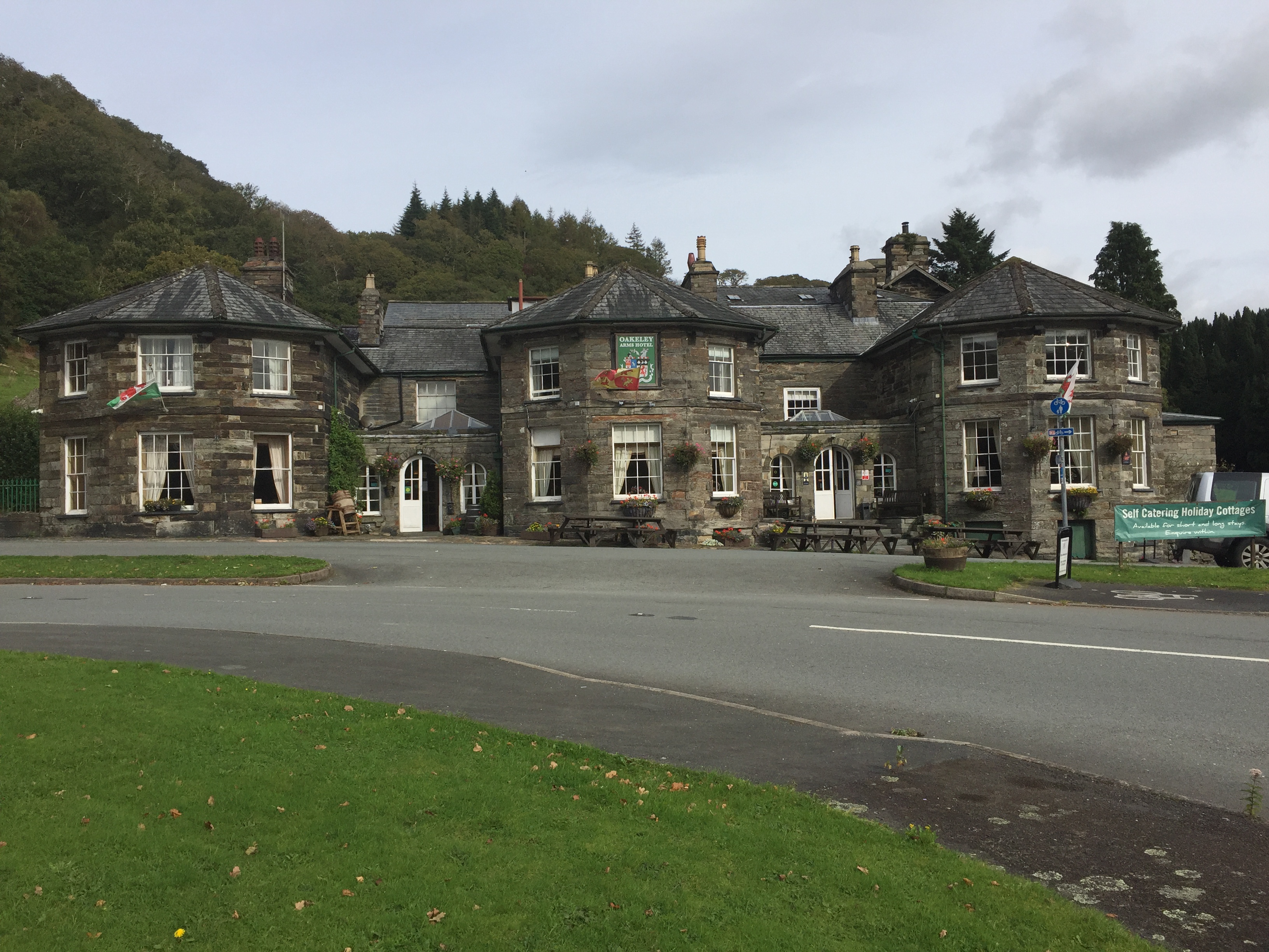
Oakeley Arms Hotel
The Oakeley Arms Hotel is a Grade II listed hotel near Maentwrog in North Wales. The original building dates back to the 17th century, and was once part...

St Twrog's Church, Maentwrog
Saint Twrog's Church is in the village of Maentwrog in the Welsh county of Gwynedd, lying in the Vale of Ffestiniog, within the Snowdonia National Park...

Maentwrog
Maentwrog () is a village and community in the Welsh county of Merionethshire (now part of Gwynedd), lying in the Vale of Ffestiniog just below Blaenau...
Nearby Amenities
Located within 500m of 52.960565,-3.9723017Have you been to Coed Dduallt?
Leave your review of Coed Dduallt below (or comments, questions and feedback).