Allt y Goetre

Wood, Forest in Carmarthenshire

Wales

Allt y Goetre

Pentref Cwmdu / Cwmdu village Prif atyniad Cwmdu, ger Talyllychau, yw'r teras Sioraidd enwog a elwir Rhydonnen. Mae'r teras yn eiddo i'r Ymddiriedolaeth Genedlaethol a'i nodwedd amlycaf yw'r Cwmdu Inn ac mae cerdded i mewn i'r tafarn yn union fel mynd nol mewn amser. Ar wahan i Nos Sul, Nos Lun a Nos Fawrth mae'r tafarn ar agor o 7:00yp i 11:00yp. Grwp o wirfoddolwyr sef Cymdeithas Cwmdu sy'n rhedeg y tafarn, y siop (a'r swyddfa post) ac maent yn sicrhau bod y darpariaethau hyn yn cael eu cadw ar agor. Gellir bwcio i sefyll mewn un o dri bwthyn ac mae'r elw yn rhannol yn mynd nol i'r Gymdeithas er cynnal y siop. Gwefan Cymdeithas Cwmdu yw <span class="nowrap"><a title="www.cwmdu.com" rel="nofollow ugc noopener" href="http://www.cwmdu.com">Link</a><img style="margin-left:2px;" alt="External link" title="External link - shift click to open in new window" src="https://s1.geograph.org.uk/img/external.png" width="10" height="10"/></span>

The main attraction of Cwmdu, near Talley, is its charming Georgian terrace known as Rhydonnen. The terrace is owned by the National Trust and its most notable feature is the Cwmdu Inn. Walking into the pub is like stepping back in time and well worth a visit. Except for Sundays, Mondays and Tuesdays, the pub is open from 7:00pm till 11:00pm. The pub, shop (and post office) are run by Cymdeithas Cwmdu, a voluntary organization, which ensures that these amenities remain open. One can also book to stay in one of the three cottages, and part of the profits are ploughed back to subsidize the shop. The Cymdeithas Cwmdu website is <span class="nowrap"><a title="www.cwmdu.com" rel="nofollow ugc noopener" href="http://www.cwmdu.com">Link</a><img style="margin-left:2px;" alt="External link" title="External link - shift click to open in new window" src="https://s1.geograph.org.uk/img/external.png" width="10" height="10"/></span>
Pentref Cwmdu / Cwmdu village Credit: Alan Richards

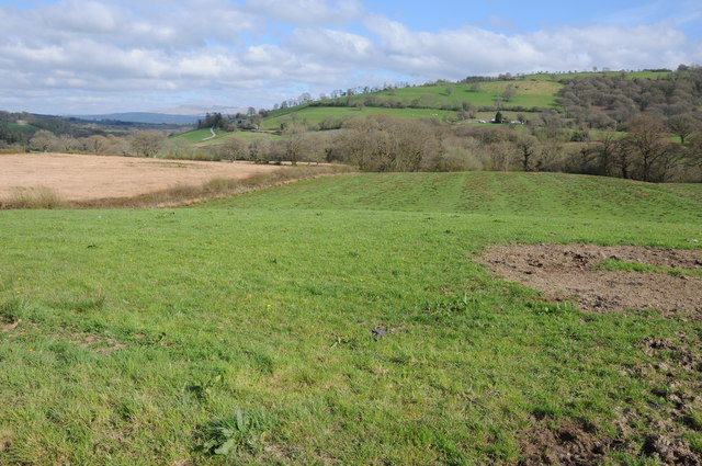
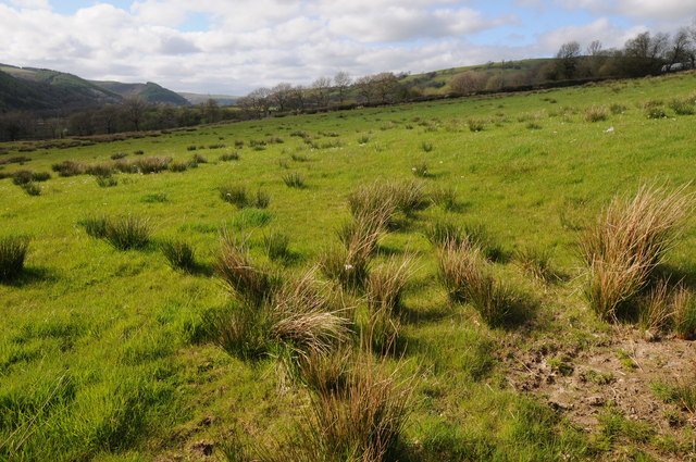
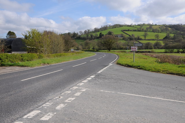
Allt y Goetre is a stunning woodland area located in Carmarthenshire, Wales. Spanning over 300 acres, it is renowned for its natural beauty and diverse flora and fauna. The name "Allt y Goetre" translates to "wooded hillside" in English, which aptly describes the landscape of this enchanting forest.

The woodland is primarily composed of deciduous trees, including oak, beech, and birch, which provide a vibrant display of colors throughout the seasons. The forest floor is adorned with an array of wildflowers, such as bluebells and primroses, creating a picturesque setting for nature enthusiasts and photographers.

This biodiverse habitat is home to a wide variety of wildlife, including numerous bird species, such as woodpeckers, buzzards, and owls. Visitors may also spot small mammals like foxes, rabbits, and badgers, as well as elusive creatures like bats and hedgehogs.

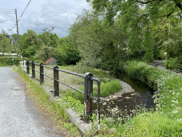
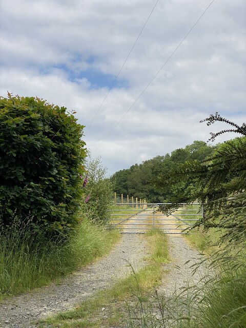
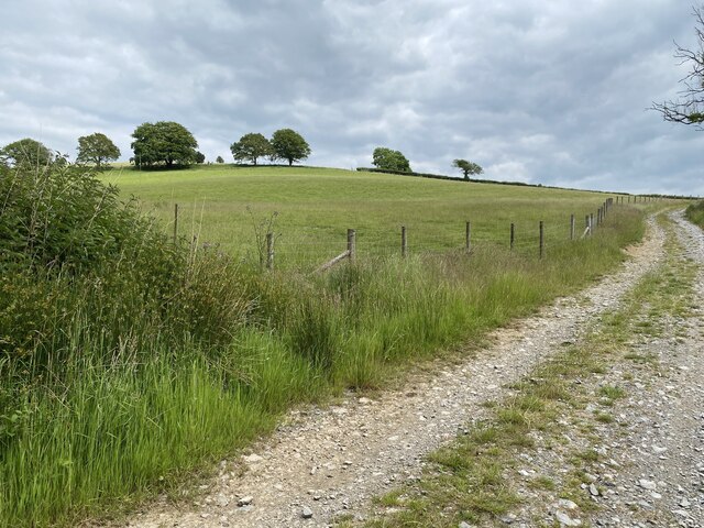
Allt y Goetre offers a network of well-maintained trails that wind through the woodland, allowing visitors to explore and appreciate its natural splendor. These paths cater to different abilities, ensuring accessibility for all. Nature lovers can enjoy leisurely walks, while more adventurous hikers can venture further into the forest to discover hidden gems like tranquil streams and breathtaking viewpoints.

The forest is a popular destination for outdoor activities such as birdwatching, nature photography, and picnicking. It is also a designated Site of Special Scientific Interest (SSSI) due to its ecological importance. This recognition highlights the need for its conservation and protection for future generations to enjoy.

If you have any feedback on the listing, please let us know in the comments section below.

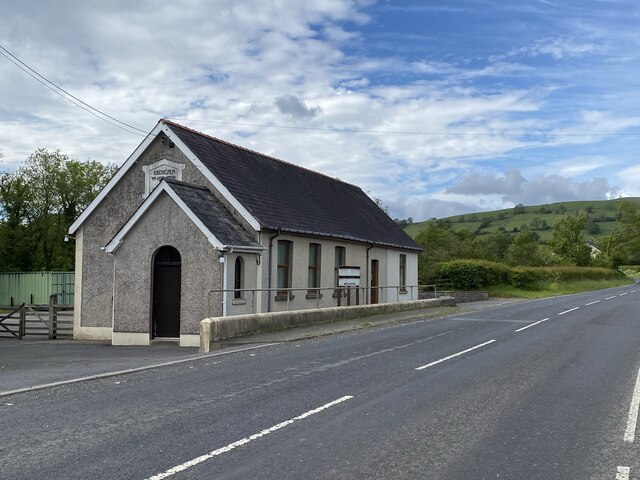
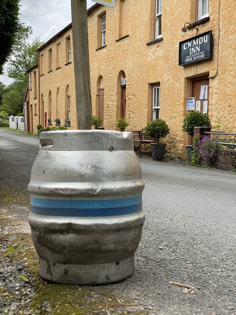
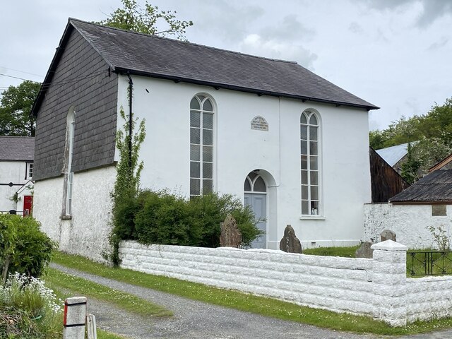
Allt y Goetre Images

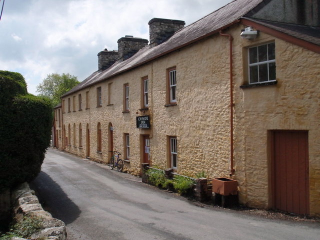
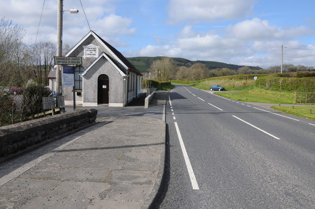
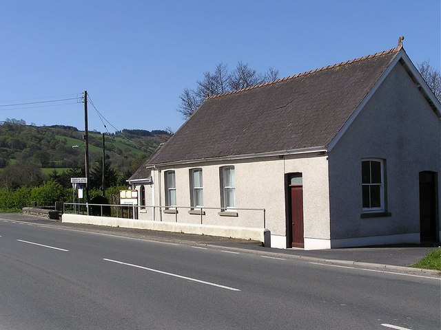
Images are sourced within 2km of 51.945051/-3.9681246 or Grid Reference SN6429. Thanks to Geograph Open Source API. All images are credited.

Pentref Cwmdu / Cwmdu village Prif atyniad Cwmdu, ger Talyllychau, yw'r teras Sioraidd enwog a elwir Rhydonnen. Mae'r teras yn eiddo i'r Ymddiriedolaeth Genedlaethol a'i nodwedd amlycaf yw'r Cwmdu Inn ac mae cerdded i mewn i'r tafarn yn union fel mynd nol mewn amser. Ar wahan i Nos Sul, Nos Lun a Nos Fawrth mae'r tafarn ar agor o 7:00yp i 11:00yp. Grwp o wirfoddolwyr sef Cymdeithas Cwmdu sy'n rhedeg y tafarn, y siop (a'r swyddfa post) ac maent yn sicrhau bod y darpariaethau hyn yn cael eu cadw ar agor. Gellir bwcio i sefyll mewn un o dri bwthyn ac mae'r elw yn rhannol yn mynd nol i'r Gymdeithas er cynnal y siop. Gwefan Cymdeithas Cwmdu yw <span class="nowrap"><a title="www.cwmdu.com" rel="nofollow ugc noopener" href="http://www.cwmdu.com">Link</a><img style="margin-left:2px;" alt="External link" title="External link - shift click to open in new window" src="https://s1.geograph.org.uk/img/external.png" width="10" height="10"/></span>

The main attraction of Cwmdu, near Talley, is its charming Georgian terrace known as Rhydonnen. The terrace is owned by the National Trust and its most notable feature is the Cwmdu Inn. Walking into the pub is like stepping back in time and well worth a visit. Except for Sundays, Mondays and Tuesdays, the pub is open from 7:00pm till 11:00pm. The pub, shop (and post office) are run by Cymdeithas Cwmdu, a voluntary organization, which ensures that these amenities remain open. One can also book to stay in one of the three cottages, and part of the profits are ploughed back to subsidize the shop. The Cymdeithas Cwmdu website is <span class="nowrap"><a title="www.cwmdu.com" rel="nofollow ugc noopener" href="http://www.cwmdu.com">Link</a><img style="margin-left:2px;" alt="External link" title="External link - shift click to open in new window" src="https://s1.geograph.org.uk/img/external.png" width="10" height="10"/></span>
Pentref Cwmdu / Cwmdu village
Prif atyniad Cwmdu, ger Talyllychau, yw'r teras Sioraidd enwog a elwir Rhydonnen. Mae'r teras yn eiddo i'r Ymddiriedolaeth Genedlaethol a'i nodwedd amlycaf yw'r Cwmdu Inn ac mae cerdded i mewn i'r tafarn yn union fel mynd nol mewn amser. Ar wahan i Nos Sul, Nos Lun a Nos Fawrth mae'r tafarn ar agor o 7:00yp i 11:00yp. Grwp o wirfoddolwyr sef Cymdeithas Cwmdu sy'n rhedeg y tafarn, y siop (a'r swyddfa post) ac maent yn sicrhau bod y darpariaethau hyn yn cael eu cadw ar agor. Gellir bwcio i sefyll mewn un o dri bwthyn ac mae'r elw yn rhannol yn mynd nol i'r Gymdeithas er cynnal y siop. Gwefan Cymdeithas Cwmdu yw LinkExternal link The main attraction of Cwmdu, near Talley, is its charming Georgian terrace known as Rhydonnen. The terrace is owned by the National Trust and its most notable feature is the Cwmdu Inn. Walking into the pub is like stepping back in time and well worth a visit. Except for Sundays, Mondays and Tuesdays, the pub is open from 7:00pm till 11:00pm. The pub, shop (and post office) are run by Cymdeithas Cwmdu, a voluntary organization, which ensures that these amenities remain open. One can also book to stay in one of the three cottages, and part of the profits are ploughed back to subsidize the shop. The Cymdeithas Cwmdu website is LinkExternal link
The B4302 at Halfway The B4302 at Halfway passing the Ebenezer Evangelical Church on the left, note the sign services in English.
The B4302 at Halfway
The B4302 at Halfway passing the Ebenezer Evangelical Church on the left, note the sign services in English.
Farmland near Cwmdu View across farmland near Cwmdu, part of the Brecon Beacons range can be seen in the distance.
Farmland near Cwmdu
View across farmland near Cwmdu, part of the Brecon Beacons range can be seen in the distance.
Field near Maerdy-isaf Field with some reeds near Maerdy-isaf at Halfway.
Field near Maerdy-isaf
Field with some reeds near Maerdy-isaf at Halfway.
The B4302 at Halfway The B4302 at Halfway to the south of Talley.
The B4302 at Halfway
The B4302 at Halfway to the south of Talley.
Ordnance Survey Cut Mark This OS cut mark can be found on a concrete gate post NE side of the road. It marks a point 108.586m above mean sea level.
Ordnance Survey Cut Mark
This OS cut mark can be found on a concrete gate post NE side of the road. It marks a point 108.586m above mean sea level.
Ordnance Survey Cut Mark This OS cut mark can be found on the front of the Cwmdu Inn. It marks a point 83.843m above mean sea level.
Ordnance Survey Cut Mark
This OS cut mark can be found on the front of the Cwmdu Inn. It marks a point 83.843m above mean sea level.
Ordnance Survey Cut Mark This OS cut mark can be found on the milk stand at Capel Hir Farm. It marks a point 102.168m above mean sea level.
Ordnance Survey Cut Mark
This OS cut mark can be found on the milk stand at Capel Hir Farm. It marks a point 102.168m above mean sea level.
Ordnance Survey Cut Mark This OS cut mark can be found on the barn at Glan-yr-afon-ddu-ganol. It marks a point 91.172m above mean sea level.
Ordnance Survey Cut Mark
This OS cut mark can be found on the barn at Glan-yr-afon-ddu-ganol. It marks a point 91.172m above mean sea level.
Ebenezer Chapel, Halfway
Cwmdu Inn Free house in the village of Cwmdu.
Cwmdu Inn
Free house in the village of Cwmdu.
Providence Baptist Chapel Chapel in the village of Cwmdu.
Providence Baptist Chapel
Chapel in the village of Cwmdu.
Afon Dulais Stream running through the village of Cwmdu.
Afon Dulais
Stream running through the village of Cwmdu.
Village Post Office and Pub
Track to Golwg y Mynach
Farm track Track leading to farmland above Golwg y Mynach.
Farm track
Track leading to farmland above Golwg y Mynach.
Ebenezer Evangelical Church Ebenezer Evangelical Church on the B4302 at Halfway, between Talley and Llandeilo.
Ebenezer Evangelical Church
Ebenezer Evangelical Church on the B4302 at Halfway, between Talley and Llandeilo.
Ebenezer Evangelical Church Ebenezer Evangelical Church on the B4302 at Halfway.
Ebenezer Evangelical Church
Ebenezer Evangelical Church on the B4302 at Halfway.
Show me another place!

Allt y Goetre is located at Grid Ref: SN6429 (Lat: 51.945051, Lng: -3.9681246)

Unitary Authority: Carmarthenshire

Police Authority: Dyfed Powys

What 3 Words

///crackles.slip.fizzled. Near Llansadwrn, Carmarthenshire

Related Wikis

Cwmifor

Cwmifor is a small village in Carmarthenshire. It is a part of the Manordeilo and Salem community and is located between Llandeilo and Llandovery, near...

Talley

Talley (Welsh: Talyllychau, historically Tal y Llychau) is a village and community in Carmarthenshire, Wales.The population taken at the 2011 census was...

Manordeilo

Manordeilo is a village in Carmarthenshire, Wales, near the River Tywi. == External links == Manordeilo and Salem Community Council website

Manordeilo and Salem

Manordeilo and Salem (Welsh: Maenordeilo a Salem) is a community located in Carmarthenshire, Wales. The population taken at the 2011 census was 1,754.The...
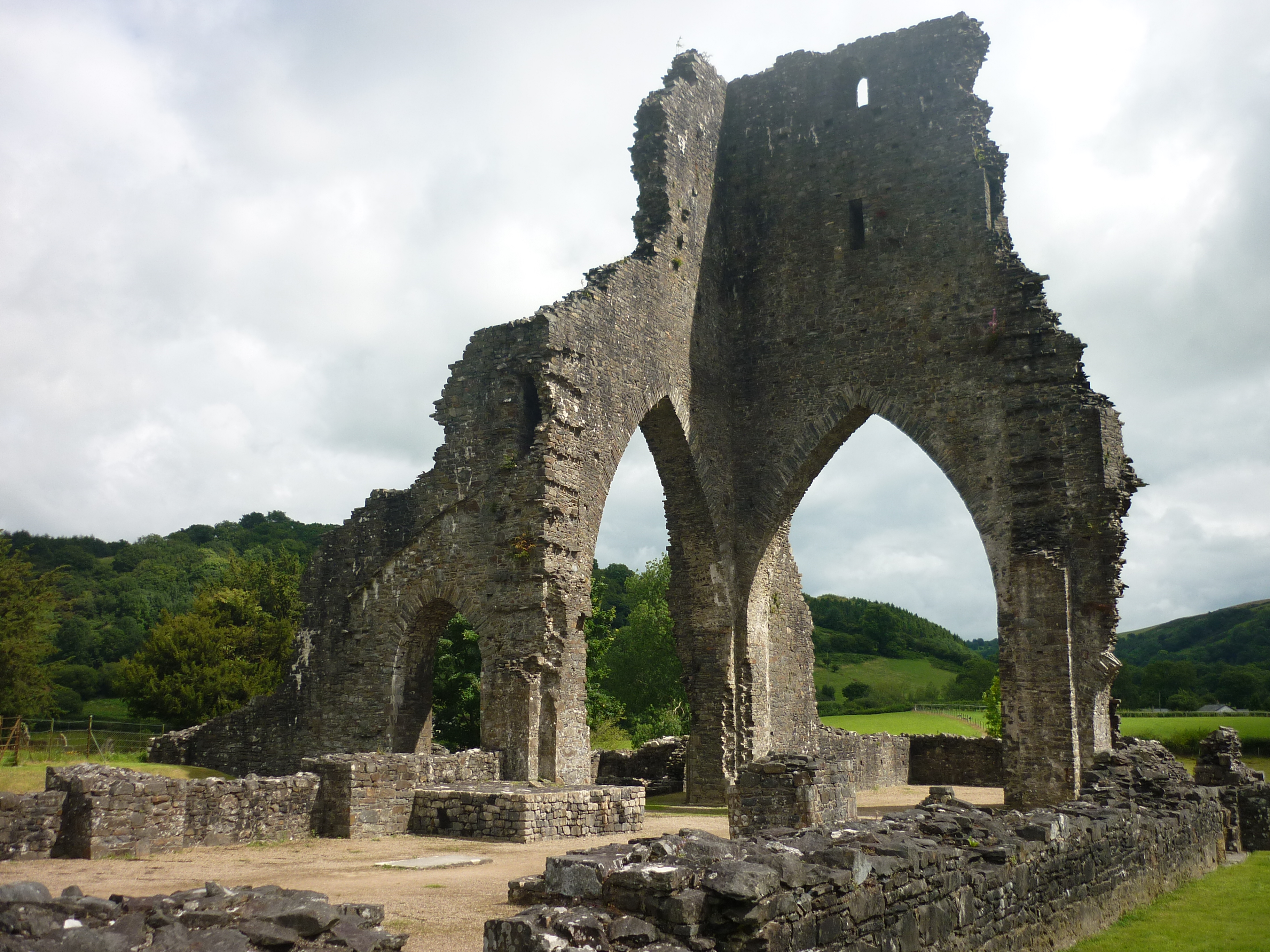
Talley Abbey

Talley Abbey (Welsh: Abaty Talyllychau) is a ruined former monastery of the Premonstratensians ("White Canons") in the village of Talley in Carmarthenshire...

Talley transmitting station

The Talley television relay station is sited on high ground to the north of the village of Talley in Carmarthenshire. It was originally built in 1986 as...

Glanrhyd Halt railway station

Glanrhyd railway station served the town of Llandeilo, Carmarthenshire, Wales, from 1858 to 1955 on the Vale of Towy Railway. == History == The station...

Talley Lakes

Upper Talley Lake (Welsh: Llyn Talyllychau Uchaf) and Lower Talley Lake (Welsh: Llyn Talyllychau Isaf) are two small lakes immediately north of the village...

Nearby Amenities

Located within 500m of 51.945051,-3.9681246
Post Box
Collection Times: Mo-Fr 14:30; Sa 11:15
Post Box Type: lamp
Ref: SA19 67
Royal Cypher: EIIR
Royal Cypher Wikidata: Q33102113
Lat/Long: 51.9433614/-3.9622779
Direction: 175
Generator Method: photovoltaic
Generator Output Electricity: yes
Generator Solar Modules: 40
Generator Source: solar
Generator Type: solar_photovoltaic_panel
Location: roof
Power: generator
Lat/Long: 51.9431534/-3.9616053
Direction: 145
Generator Method: photovoltaic
Generator Output Electricity: yes
Generator Solar Modules: 14
Generator Source: solar
Generator Type: solar_photovoltaic_panel
Location: roof
Power: generator
Lat/Long: 51.9469896/-3.9638597
The data included in this document is from www.openstreetmap.org. The data is made available under ODbL.

Have you been to Allt y Goetre?

Leave your review of Allt y Goetre below (or comments, questions and feedback).