Glandwr Fields

Wood, Forest in Merionethshire

Wales

Glandwr Fields

Information Board And Ruins Information board and the ruins of a former railway cottage called Garth Isaf on the Mawddach trail near to Arthog, Gwynedd.
Information Board And Ruins Credit: Keith Evans

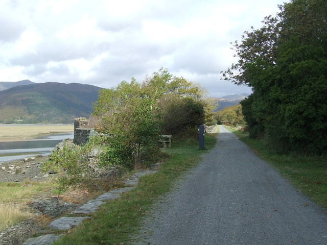
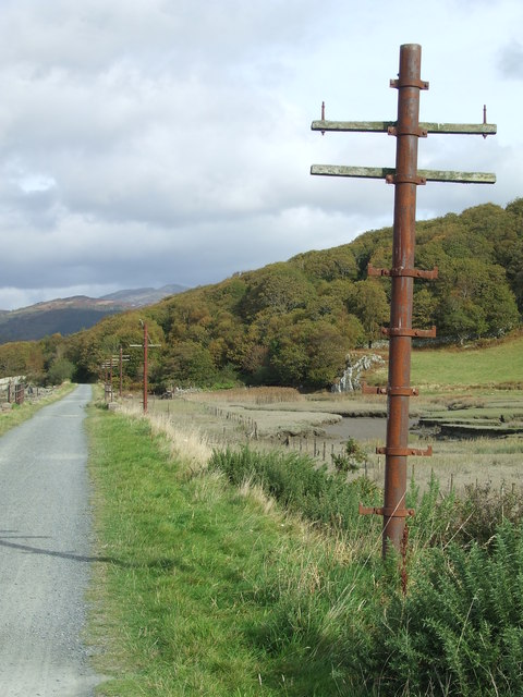
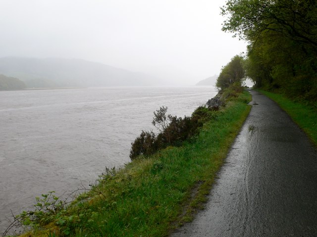
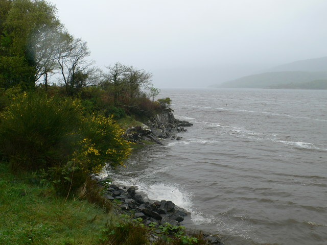
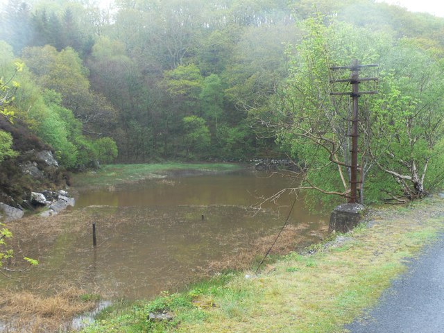
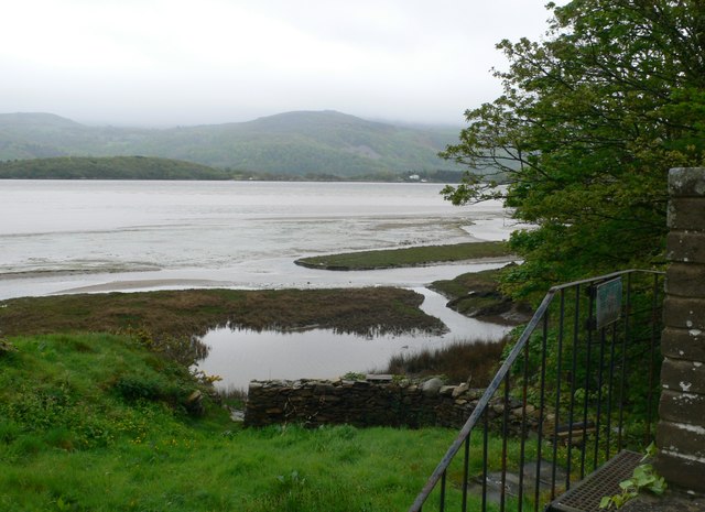
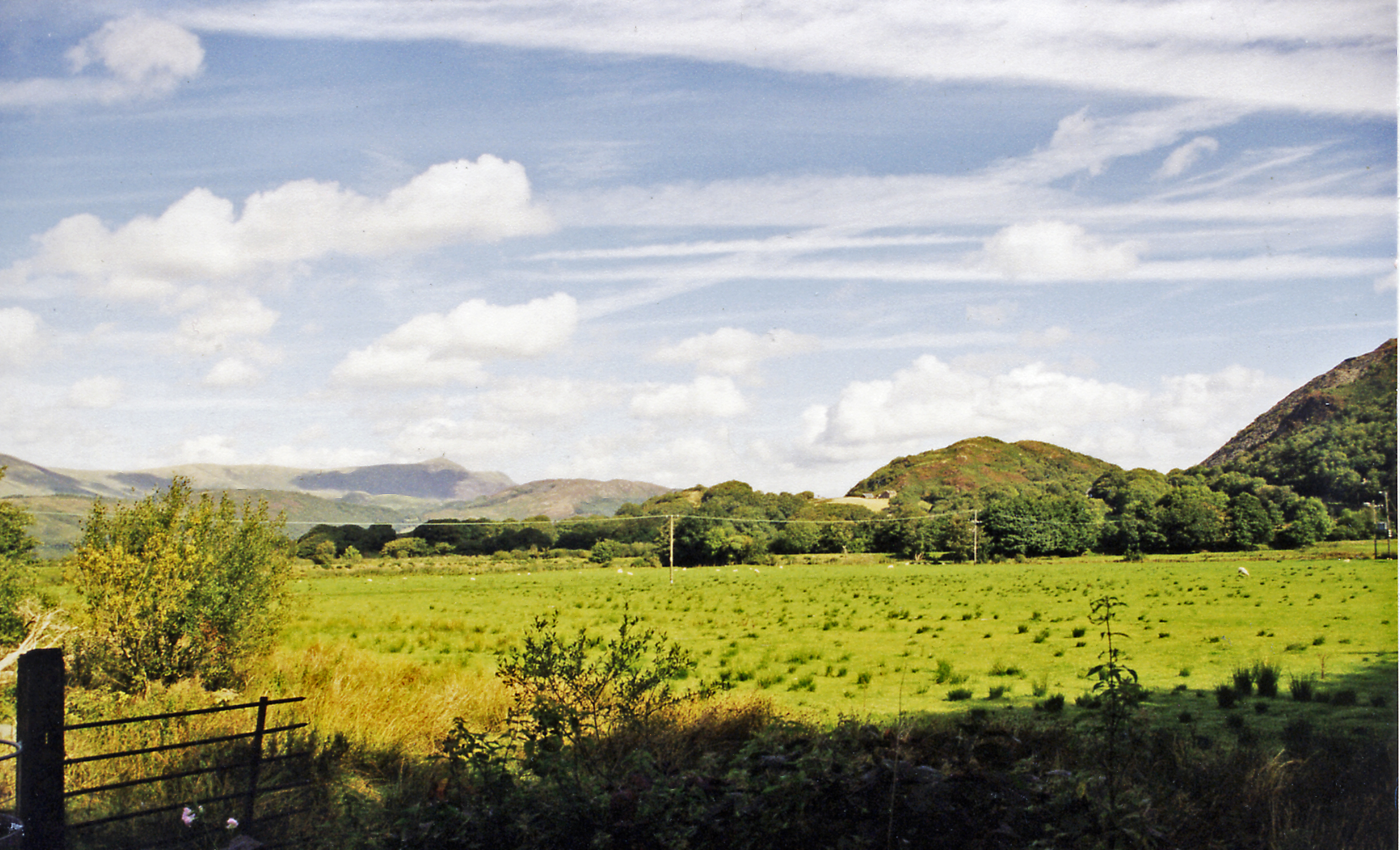
Glandwr Fields, located in the county of Merionethshire in Wales, is a stunning wood and forest area known for its natural beauty and diverse wildlife. Spanning over a vast area, this enchanting woodland is a popular destination for nature enthusiasts, hikers, and photographers alike.

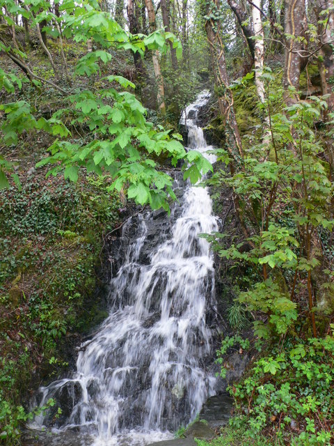
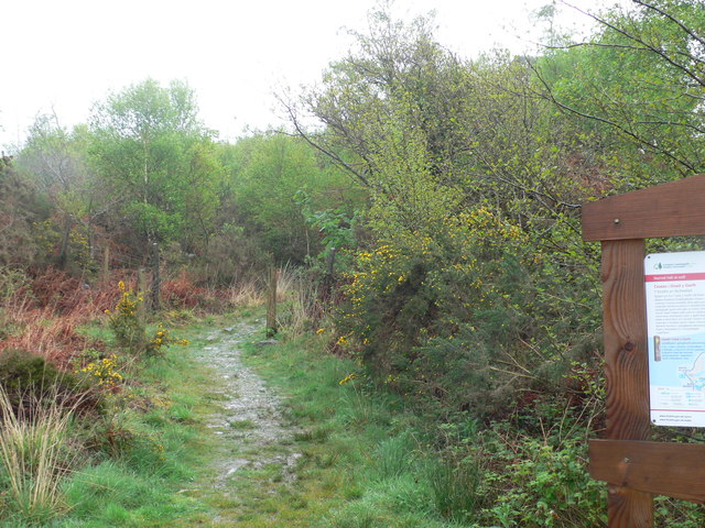
The woodland is primarily composed of deciduous trees such as oak, beech, and birch, which create a vibrant and colorful landscape throughout the year. These trees provide a habitat for a wide range of animal species, including red squirrels, badgers, foxes, and numerous bird species. Nature lovers can often spot these creatures as they explore the various walking trails that crisscross the woodland.

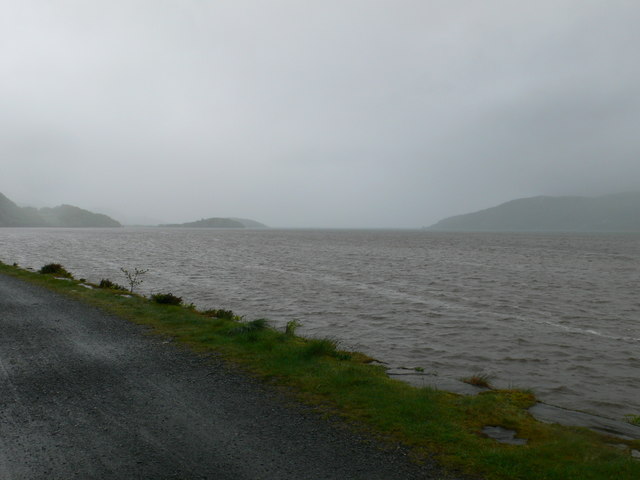
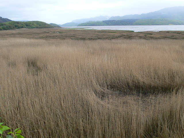
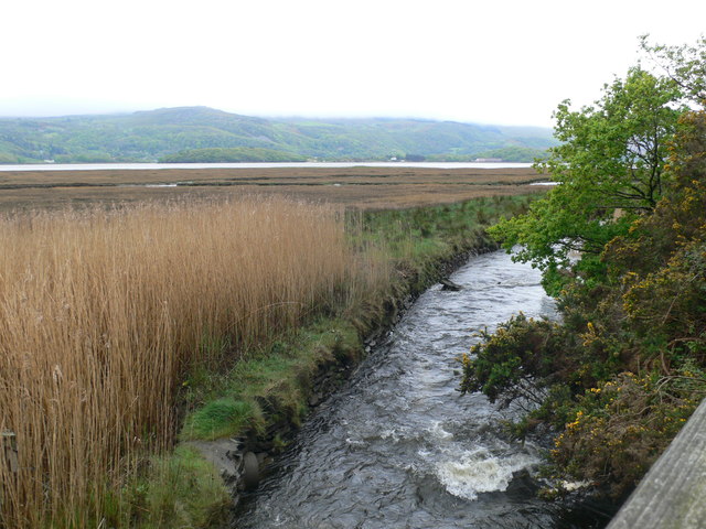
Glandwr Fields is also renowned for its panoramic views, with several viewpoints offering breathtaking vistas of the surrounding countryside and nearby mountains. The picturesque River Dyfi runs through the woodland, adding to its scenic allure. Visitors can choose to follow the river's path, taking in the tranquil sounds of flowing water and the occasional glimpse of otters playing in the shallows.

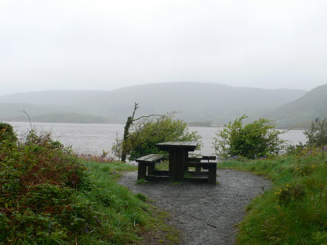
The wood is well-maintained and features numerous picnic areas, making it an ideal spot for a family outing or a peaceful day in nature. In addition, the woodland is home to a variety of plant species, including bluebells, primroses, and wild garlic, which create a vibrant tapestry of colors during the spring months.

Overall, Glandwr Fields in Merionethshire is a captivating wood and forest area that offers a rich natural experience for those seeking tranquility, stunning landscapes, and the chance to observe an array of wildlife in their natural habitat.

If you have any feedback on the listing, please let us know in the comments section below.

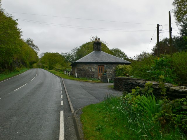
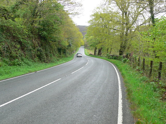
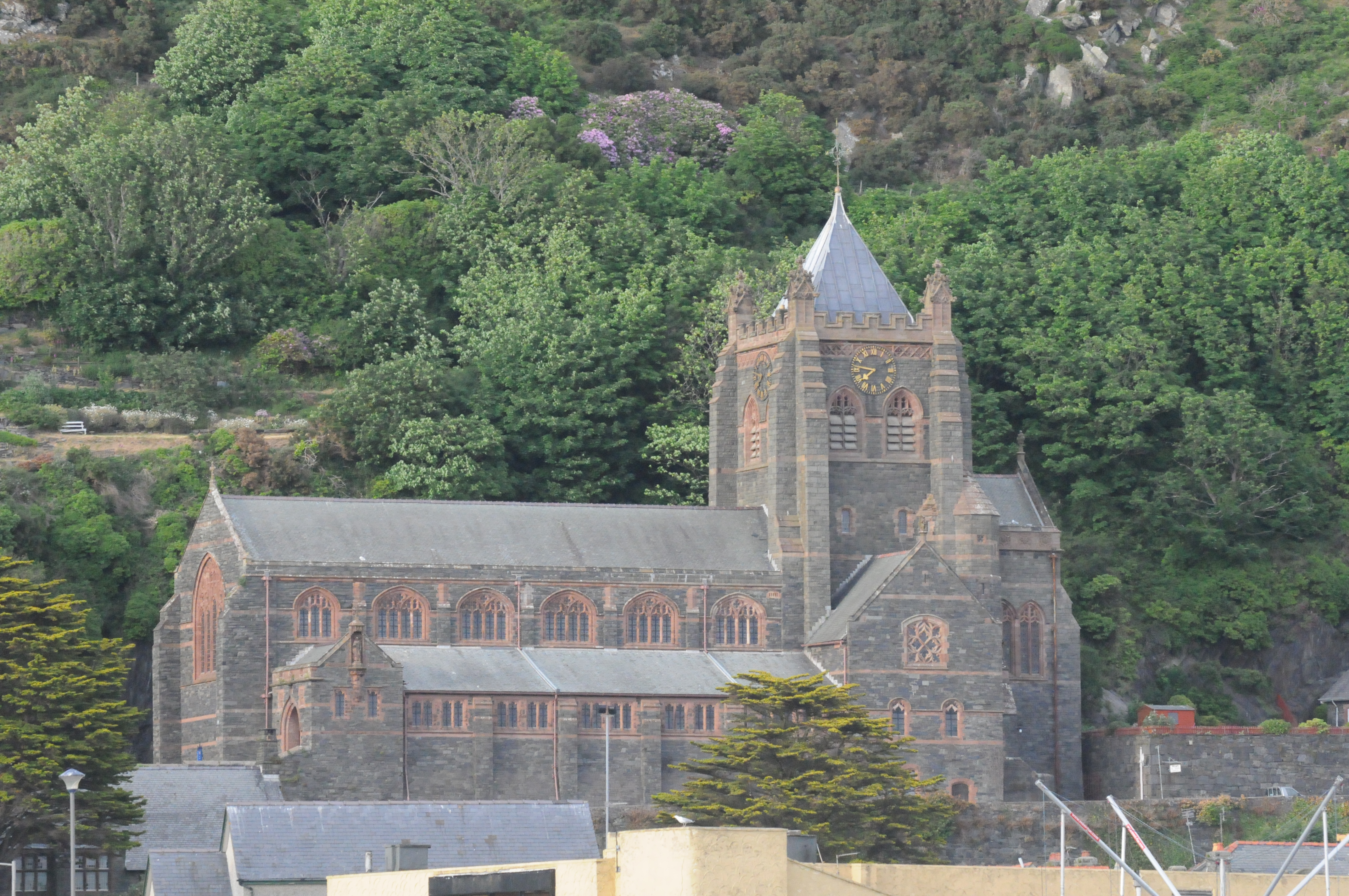
Glandwr Fields Images

Images are sourced within 2km of 52.740445/-4.0112169 or Grid Reference SH6417. Thanks to Geograph Open Source API. All images are credited.

Information Board And Ruins Information board and the ruins of a former railway cottage called Garth Isaf on the Mawddach trail near to Arthog, Gwynedd.
Information Board And Ruins
Information board and the ruins of a former railway cottage called Garth Isaf on the Mawddach trail near to Arthog, Gwynedd.
Old Telegraph Poles Old telegraph poles along the Mawddach trail near to Arthog, Gwynedd.
Old Telegraph Poles
Old telegraph poles along the Mawddach trail near to Arthog, Gwynedd.
Waterfall beside the Mawddach Trail
A murky day on the Mawddach Trail The Mawddach Trail, an 8-mile cycle path running from Dolgellau to Morfa Mawddach, on the south side of the Barmouth railway bridge. It is managed by the Snowdonia National Park Authority as a leisure route for walkers and cyclists, and is part of the Sustrans Cross-Wales Cycling Route. It was the railway route from Ruabon to Barmouth.
A murky day on the Mawddach Trail
The Mawddach Trail, an 8-mile cycle path running from Dolgellau to Morfa Mawddach, on the south side of the Barmouth railway bridge. It is managed by the Snowdonia National Park Authority as a leisure route for walkers and cyclists, and is part of the Sustrans Cross-Wales Cycling Route. It was the railway route from Ruabon to Barmouth.
Small headland on the Mawddach Trail On the south side of the river.
Small headland on the Mawddach Trail
On the south side of the river.
Picnic spot on the Mawddach Trail One of several dotted along the trail.
Picnic spot on the Mawddach Trail
One of several dotted along the trail.
Afon Mawddach Looking towards the mouth of the estuary from the Mawddach Trail.
Afon Mawddach
Looking towards the mouth of the estuary from the Mawddach Trail.
Coed y Garth trail A waymarked path through Coed y Garth where conifers, planted as a 'strategic timber reserve' after WW1, have been removed and young broadleaf species have been planted. Coed y Garth was originally a native oak woodland which was used to build ships here in the 19th century.
Coed y Garth trail
A waymarked path through Coed y Garth where conifers, planted as a 'strategic timber reserve' after WW1, have been removed and young broadleaf species have been planted. Coed y Garth was originally a native oak woodland which was used to build ships here in the 19th century.
Old telegraph pole beside an embankment on the Mawddach Trail
Saltmarsh, Mawddach estuary
The A496 Barmouth to Dolgellau road
Reedbeds at Glan y Mawddach The large expanse of saltmarsh beyond the reeds is the delta of the river Dwynant
Reedbeds at Glan y Mawddach
The large expanse of saltmarsh beyond the reeds is the delta of the river Dwynant
Square house by the A496 Bodowen Bungalow - possibly a tollhouse in a previous life.
Square house by the A496
Bodowen Bungalow - possibly a tollhouse in a previous life.
Reed beds and saltmarsh The river Dwynant winds its way through the saltmarsh to join the Mawddach.
Reed beds and saltmarsh
The river Dwynant winds its way through the saltmarsh to join the Mawddach.
Afon Dwynant reaching the Mawddach estuary
Glandwr Hall Gentry estate on the north side of the Mawddach estuary.
Glandwr Hall
Gentry estate on the north side of the Mawddach estuary.
Glandwr Lodge Prominently located on the SE side of the main road, 150m to the E of Pont Glandwr. This is a Grade II listed late Regency lodge of c.1840, probably built by William Jones Esq who purchased the Glandwr estate from the Roberts family at that time.
Glandwr Lodge
Prominently located on the SE side of the main road, 150m to the E of Pont Glandwr. This is a Grade II listed late Regency lodge of c.1840, probably built by William Jones Esq who purchased the Glandwr estate from the Roberts family at that time.
The A496 between Cutiau and Caerdeon
Show me another place!

Glandwr Fields is located at Grid Ref: SH6417 (Lat: 52.740445, Lng: -4.0112169)

Unitary Authority: Gwynedd

Police Authority: North Wales

What 3 Words

///rails.ramps.gushes. Near Barmouth, Gwynedd

Nearby Locations

Glandwr Fields

Related Wikis

Tyn-y-Coed Farmhouse

Tyn-y-Coed Farmhouse is a grade II Listed Building in Caerdeon, Barmouth, Gwynedd. This Georgian farm house was built in 1756 and later extended and altered...

St Philip's Church, Caerdeon

St Philip's Church, Caerdeon, near Barmouth, in Gwynedd, North Wales, is a redundant church and a Grade I listed building. The church was built in 1862...

Mawddach Trail

The Mawddach Trail (Welsh: Llwybr Mawddach) is a cycle path route, part of Lôn Las Cymru, which runs for some 8 miles (13 km) from Dolgellau (52.7446°N...

Arthog railway station

Arthog railway station in Gwynedd, Wales, was a station on the Dolgelly [sic] branch of the Aberystwith and Welsh Coast Railway (part of the Ruabon to...

Bontddu

Bontddu (meaning Black bridge) is a small settlement just east of Barmouth, near the town of Dolgellau in Gwynedd, Wales. It is in the community of Llanelltyd...

Arthog

Arthog () is a village, post town and community in the Meirionnydd area in Gwynedd, north Wales including the villages of Fairbourne and Friog. It is located...

Barmouth Bridge

Barmouth Bridge (Welsh: Pont Abermaw), or Barmouth Viaduct is a Grade II* listed single-track wooden railway viaduct across the estuary of the River Mawddach...

St John's Church, Barmouth

St John's Church, Barmouth, Gwynedd, Wales was built between 1889 and 1895 and designed by the Chester architects Douglas and Fordham. The foundation stone...

Nearby Amenities

Located within 500m of 52.740445,-4.0112169
Garth
Ele: 177
Natural: peak
Lat/Long: 52.7419044/-4.0164746
The data included in this document is from www.openstreetmap.org. The data is made available under ODbL.

Have you been to Glandwr Fields?

Leave your review of Glandwr Fields below (or comments, questions and feedback).