Burnt Yates

Settlement in Yorkshire Harrogate

England

Burnt Yates

Clint Bank Cross and Stocks Exact date unknown, relocated here by Harrogate Round Table, the pillar of the cross has been damaged but the base remains sound.
Clint Bank Cross and Stocks Credit: manonabike

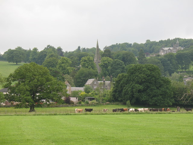
Burnt Yates is a small village located in the Harrogate district of North Yorkshire, England. Situated in the picturesque Nidderdale area of Yorkshire, it lies about 10 miles west of the city of Ripon. The village is nestled in the beautiful countryside, surrounded by rolling hills, lush fields, and woodlands.

With a population of around 200 residents, Burnt Yates is a close-knit community known for its tranquility and natural beauty. The village is primarily residential, with traditional stone houses and cottages lining the quaint streets. The village church, St. Andrew's, is a prominent feature and dates back to the 12th century.

Surrounded by stunning landscapes, Burnt Yates offers plenty of opportunities for outdoor activities. The nearby Nidderdale Way, a long-distance footpath, passes through the village and attracts walkers and hikers. Additionally, the area is known for its picturesque cycling routes and horse riding trails.

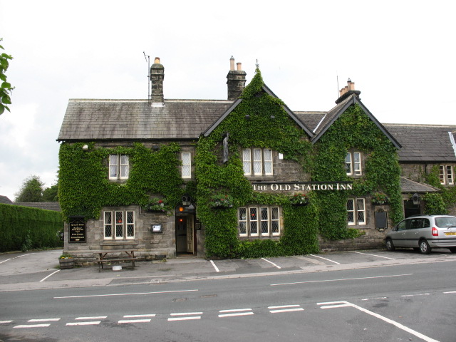
Despite its small size, Burnt Yates is conveniently located near amenities. The neighboring village of Bishop Thornton provides a primary school and a village shop for everyday essentials. For more extensive shopping and entertainment options, the towns of Harrogate and Ripon are easily accessible by car.

Overall, Burnt Yates is a charming village that offers a peaceful and idyllic lifestyle amidst the breathtaking Yorkshire countryside. Its close proximity to larger towns and its natural beauty make it an attractive place to live for those seeking a tranquil rural setting.

If you have any feedback on the listing, please let us know in the comments section below.
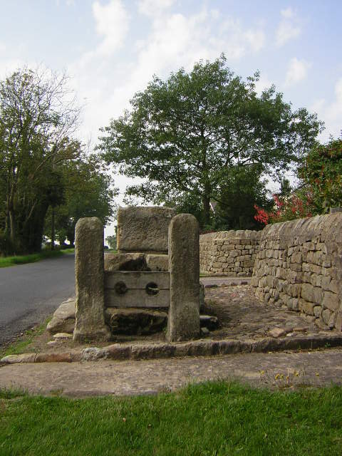
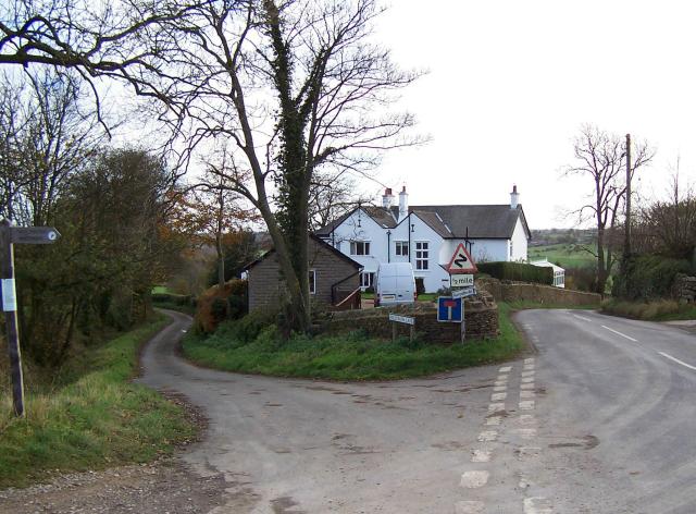
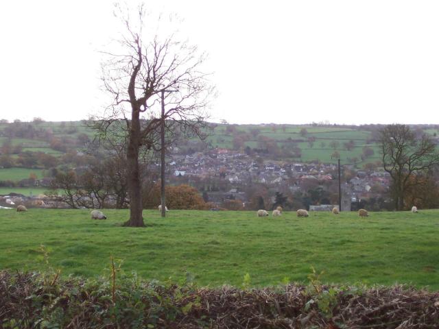
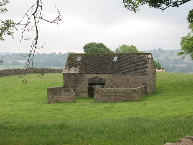
Burnt Yates Images

Images are sourced within 2km of 54.046075/-1.618462 or Grid Reference SE2561. Thanks to Geograph Open Source API. All images are credited.
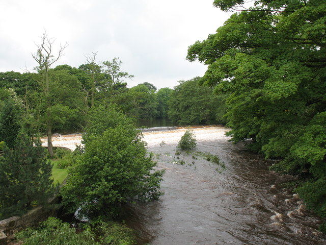
Clint Bank Cross and Stocks Exact date unknown, relocated here by Harrogate Round Table, the pillar of the cross has been damaged but the base remains sound.
Clint Bank Cross and Stocks
Exact date unknown, relocated here by Harrogate Round Table, the pillar of the cross has been damaged but the base remains sound.
Junction of Nidderdale Way, Hollybank Lane and the road to Hampsthwaite
Hampsthwaite looking south from Clint
Stone Barn, Clint A stone barn in good condition - a pity about the corrugated roof.
Stone Barn, Clint
A stone barn in good condition - a pity about the corrugated roof.
View across playing fields at Birstwith The goalposts have been taken down for the summer, so there is a clear view of grazing cattle and the village church on the hill.
View across playing fields at Birstwith
The goalposts have been taken down for the summer, so there is a clear view of grazing cattle and the village church on the hill.
Mill race, Birstwith The mill race flows from the weir on the Nidd to Birstwith Mill [seen here] which now produces animal feeds.
Mill race, Birstwith
The mill race flows from the weir on the Nidd to Birstwith Mill [seen here] which now produces animal feeds.
Old Station Inn, Birstwith Village pub in Birstwith, only a few yards from the site of the former railway station.
Old Station Inn, Birstwith
Village pub in Birstwith, only a few yards from the site of the former railway station.
Birstwith weir. The weir at Birstwith is one of many on the River Nidd. This one maintains the water level for the mill race.
Birstwith weir.
The weir at Birstwith is one of many on the River Nidd. This one maintains the water level for the mill race.
Landslip on Banks of River Nidd The Nidderdale Way Long Distance Path slightly obstructed by the landslip on the river bank.
Landslip on Banks of River Nidd
The Nidderdale Way Long Distance Path slightly obstructed by the landslip on the river bank.
River Nidd Seen from the Nidderdale Way as it runs between Birstwith and Hampsthwaite (flowing to the right).
River Nidd
Seen from the Nidderdale Way as it runs between Birstwith and Hampsthwaite (flowing to the right).
Sluices Birstwith Mill Race
Birstwith Tennis Club
Birstwith Mill Entrance
Gate at Footpath Junction
Negotiating the Nidderdale Way
Trees by the Nidd
Trees by the Nidd
Landslip This land to the south of the Nidd has slipped, taking the fence with it.
Landslip
This land to the south of the Nidd has slipped, taking the fence with it.
River Nidd
River Nidd
Show me another place!

Burnt Yates is located at Grid Ref: SE2561 (Lat: 54.046075, Lng: -1.618462)

Division: West Riding

Administrative County: North Yorkshire

District: Harrogate

Police Authority: North Yorkshire

What 3 Words

///chimp.strange.habits. Near Harrogate, North Yorkshire

Nearby Locations

Burnt Yates

Related Wikis

Burnt Yates

Burnt Yates is a village in the Borough of Harrogate in North Yorkshire, England. == Community == The village name possibly derived from 'Burnt Gates'...

Shaw Mills

Shaw Mills is a hamlet in the civil parish of Bishop Thornton, Shaw Mills and Warsill, in Nidderdale in the Harrogate district, North Yorkshire, England...

Birstwith railway station

Birstwith railway station served the village of Birstwith, North Yorkshire, England from 1862 to 1964 on the Nidd Valley Railway. == History == The station...

Bedlam, North Yorkshire

Bedlam is a small village in the Harrogate district of North Yorkshire, England situated north of Harrogate.Its name most likely came from Old English...

Nearby Amenities

Located within 500m of 54.046075,-1.618462
Burnt Yates
Place: hamlet
Source: npe
Wikidata: Q5000237
Lat/Long: 54.0453486/-1.6180329
Bus Stop
Naptan AtcoCode: 3200YND23120
Naptan NaptanCode: 32023120
Lat/Long: 54.0461171/-1.6186863
Telephone
Booth: K6
Covered: booth
Lat/Long: 54.0460352/-1.6180946
Post Box
Post Box Type: lamp
Lat/Long: 54.0460431/-1.6182018
Building: yes
Lat/Long: 54.0488854/-1.6154626
Crossing
Lat/Long: 54.0454389/-1.6195478
Crossing
Lat/Long: 54.0454405/-1.6193487
Generator Method: photovoltaic
Generator Output Electricity: yes
Generator Solar Modules: 16
Generator Source: solar
Generator Type: solar_photovoltaic_panel
Power: generator
Lat/Long: 54.0452417/-1.6189487
Barrier: stile
Lat/Long: 54.0465018/-1.6214511
Barrier: stile
Lat/Long: 54.0451729/-1.6236575
Barrier: stile
Lat/Long: 54.0454921/-1.6173146
Barrier: stile
Lat/Long: 54.0456886/-1.6182319
Barrier: stile
Lat/Long: 54.0449816/-1.6179737
Barrier: stile
Lat/Long: 54.0453945/-1.6125604
The data included in this document is from www.openstreetmap.org. The data is made available under ODbL.

Have you been to Burnt Yates?

Leave your review of Burnt Yates below (or comments, questions and feedback).